MELANIE HIGHLINE July 6, 2015

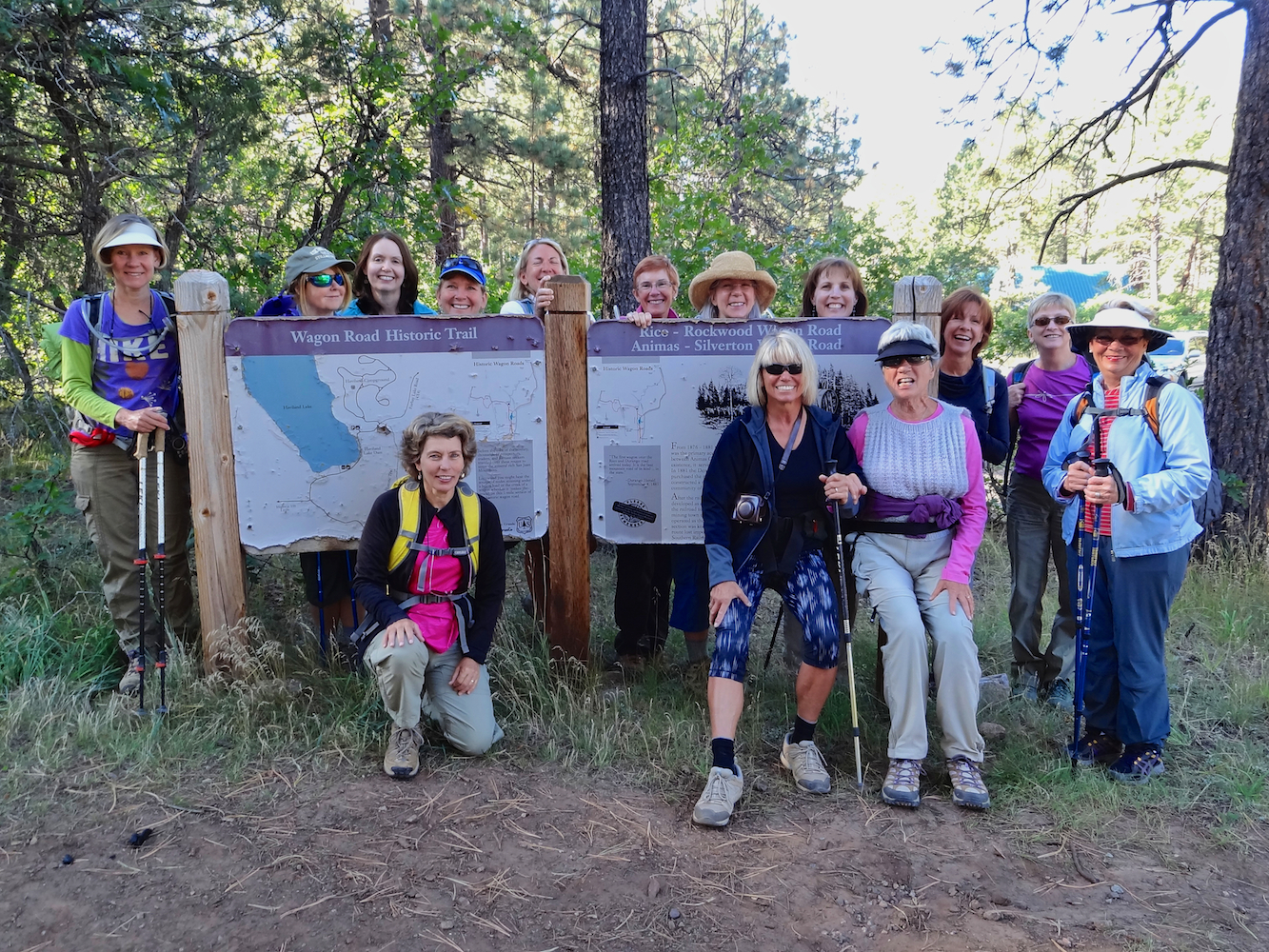
This is the annual Betty Capan memorial hike.  A rock with her name on it is located at the summit.  This hike was dedicated to her because it was one of her favorites due to the abundant wildflowers. This hike is also known as Nancy's Grassy Knoll. The trail is 4 miles roundtrip and the rock cairn with Bettys name sits at 12,296'.


HANDIES PEAK 14,058'

HANDIES PEAK, elevation of 14,058', is the 41st highest peak in Colorado and is located in the San Juan Mountains. From the American Basin Trailhead, it is 5.5 miles roundtrip to the summit with an elevation gain of 2500'.  We enjoyed beautiful weather, fall colors and 360 degree views. This was Gina's first time standing on a 14er. Tim, Angela, Jane Marie, Bella, Zarita and I  were happy to celebrate her accomplishment. Gina brought carrot cake for the celebration. 

Velocity Basin September 17, 2014 Leader: Jane Marie

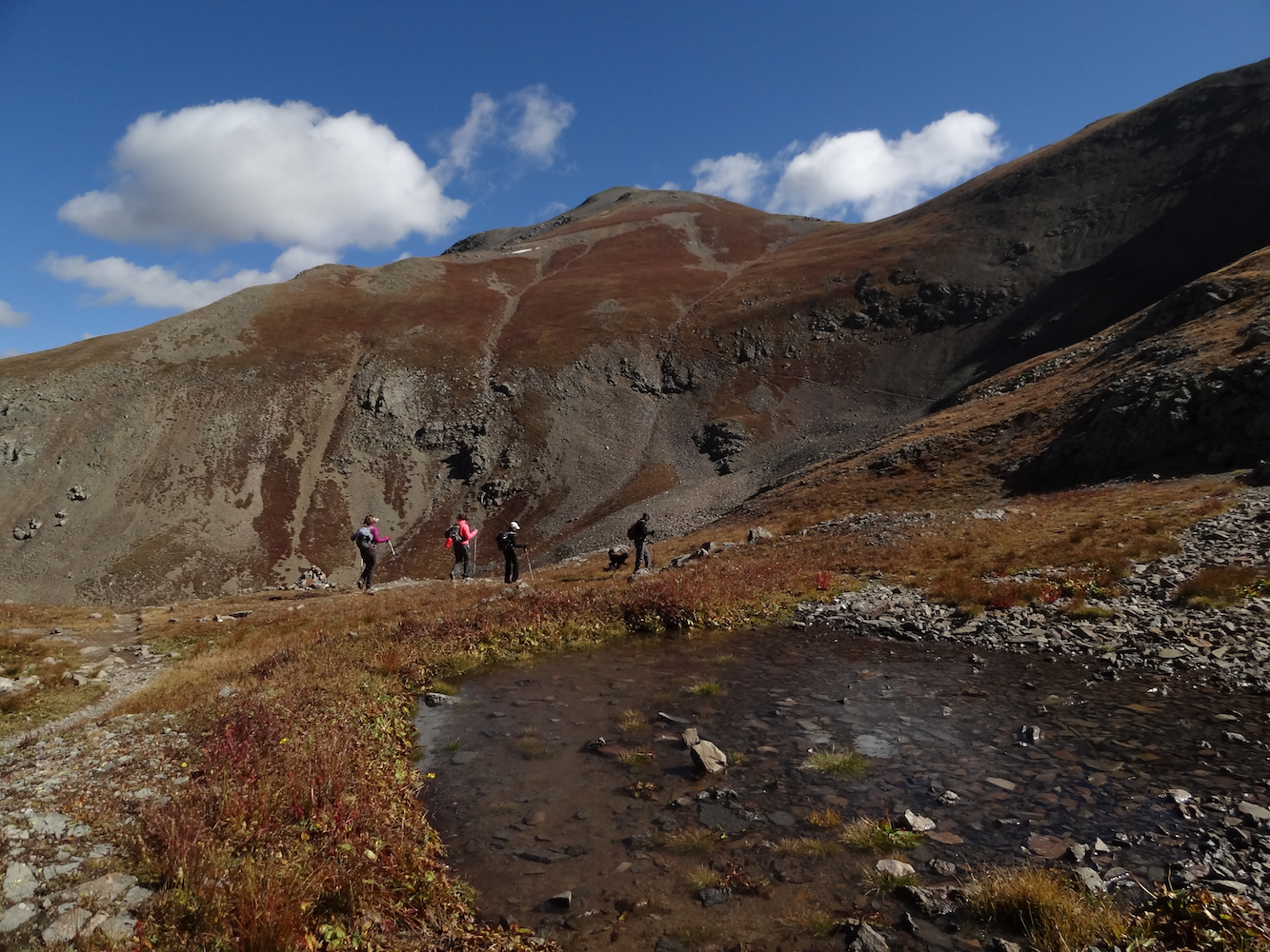
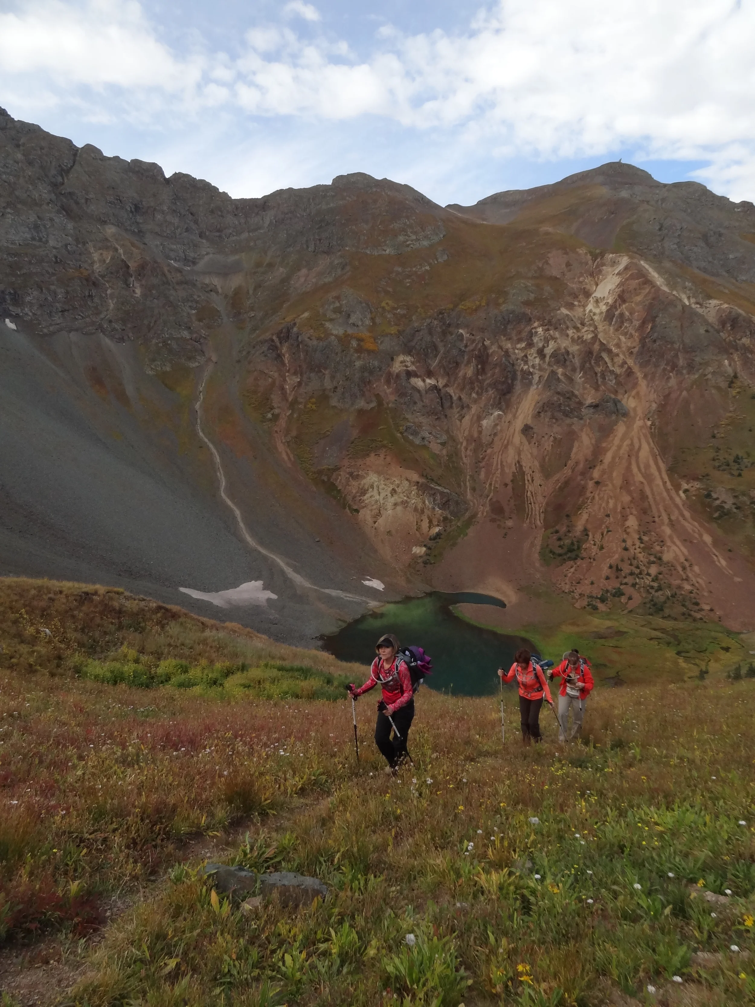
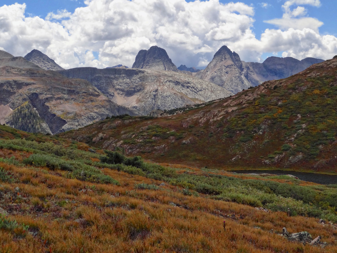
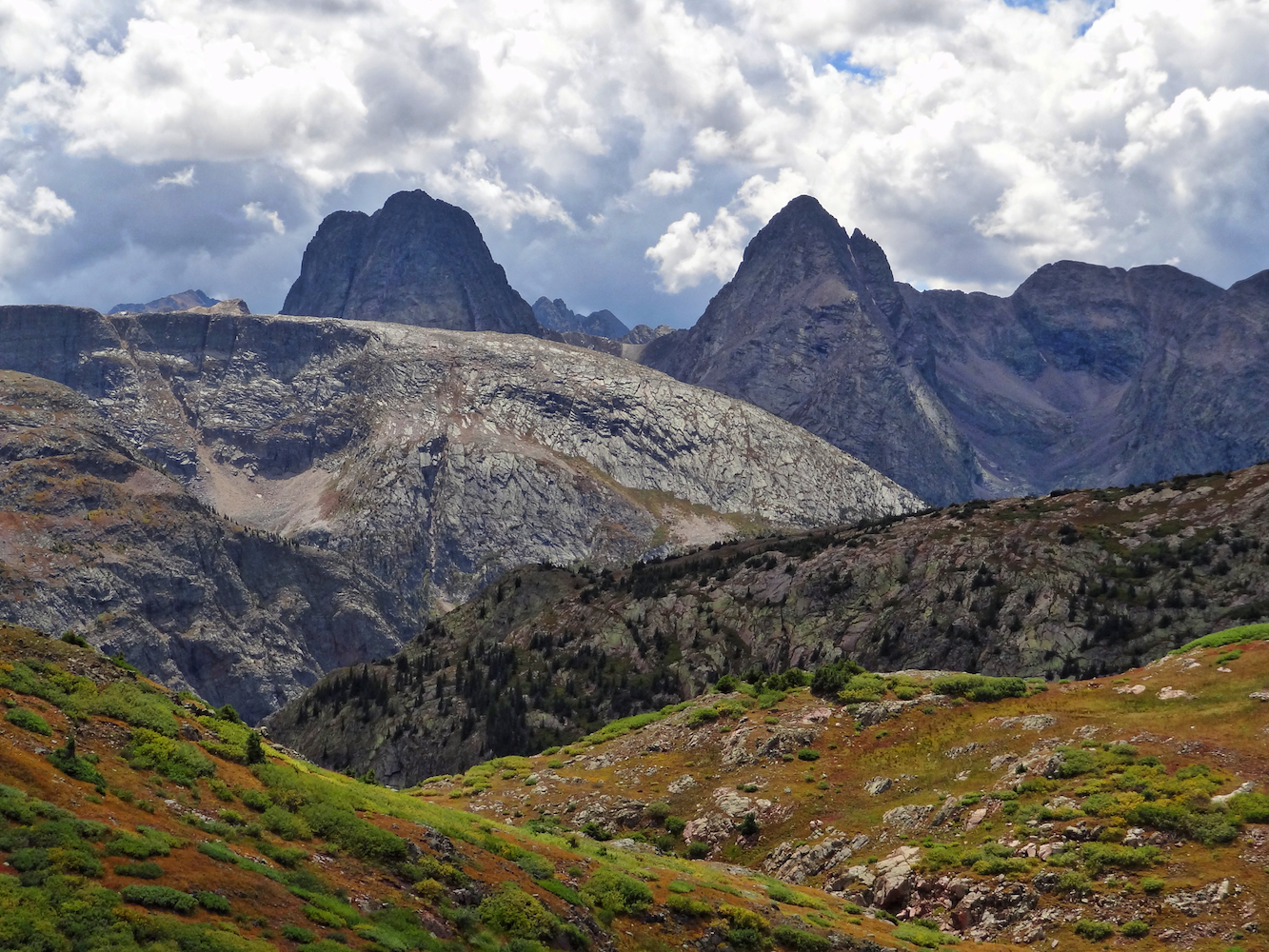
Velocity Basin is a dramatic cirque basin with a small turquoise lake at its base. The hike involves climbing a steep grassy route to the ridge line and peaks that surround the lake. The trailhead starts at 11,327 and climbs 1,910' to the peak at 13,060.

Haviland Lake September 15, 2014 Leader: Martha, Lunch Host: Gina

On this day, the Moxies came together not only for a hike but to celebrate the lives of our friends Betty Capen and Sheila Burnette. Betty was the Queen Moxie and one of the first members who was instrumental in naming the group.  Sheila, loved the outdoors and joined the Moxies soon after moving to Durango. She passed away exactly one year ago from this date. Both Moxies enjoyed nature and the beauty of flowers.  In their honor, Beth brought bright colored sunflowers to the celebration.

Spencer Peak 13,087'/Sultan Peak 13,368'- September 11, 2014 Leader: Marianne

This was a very special hike for our friend Marianne Pearlman.  In 2006, Spencer Peak was offically named after her father: Donald Clayton Spencer. He was a pioneering mathematician and a friend to everyone in Durango and Silverton. He was an avid environmentalist and planted trees across the country. The City of Durango proclaimed his birthday, April 25th, Donald Spencer Day which is celebrated by planting trees. A judge in Silverton and a reporter in Los Alamos suggested naming a Peak for him. The reporter, Kathleen Parker, collected letters and documents for 5 years after his death and in 2006 the USGS named Spencer Peak. 

Everytime I reach the summit, I tell daddy I love him. This would embarrass him but he loved everyone with his heart.
— Marianne Spencer Pearlman

Highland Mary Lakes-Continental Divide Loop September 5, 2014

The weather forecast was grim but Zarita and I had been wanting to hike up to Highland Mary Lakes so we decided to go for it and see how far we could get before the storms hit. We didn't expect to get far. Fortunately for us the weatherman was wrong and we were able to hike the entire 9.1 mile loop from the Highland Mary Lakes trailhead to the continental divide trail and down the Cunningham Gulch trail without getting rained on. We only got a few sprinkles as we got close to the end of the trail.  During the early morning hours on our way up, I enjoyed taking pictures of the ground cover that had started to change color and were covered with raindrops. We hiked passed the 3  pretty Highland Mary Lakes and enjoyed the reflections but didn't stop as our goal was to at least reach the Verde Lakes/Continental Divide.  The elevation change from the trailhead to the divide was approximately 2000' and the high point at the divide was 12600". This is where we ate lunch and enjoyed a viewpoint overlooking the spectacular Grenadier Range and nearby Verde Lake.   Arrow Peak (13,803 feet) is considered to be one of the most difficult summits in Colorado and is eye catching from this viewpoint. The weather looked promising so we made the decision to go ahead and complete the entire loop.  Heading  across the Continental Divide trail we ran into a huge heard of sheep and their herder. The sheep dotted the mountainsides around us. This high altitude trail has it all and the views were amazing in every direction. As we headed down the steep Cunningham Gulch Trail we stopped often to look at the the mountains laid out in front of us. The ground cover was turning red, yellow and orange and glowed in the sunlight. We enjoyed a great hike and are happy to share some of our photos. 

Columbine Lake Hike-Sept 3, 2014 Leader: Jane Marie & Penny

Columbine Lake (12,685') via Upper Ophir Pass Road:  7.25 miles, 2,212'

The mountains are calling, the moxies must go!!!! Set your radios on channel 4.1 

Calling all Moxies: We enjoyed perfect weather and another GREAT hike up to Columbine lake. It was a beautiful day. The mountainside ground cover is starting to show signs of fall. We did lose a couple people on the narrow scary ridge to the saddle. The only remaining evidence was their hiking sticks.

Do you know who these sticks belonged to?

We experienced a treacherous snow field and we were sad that we didn't have our ice axes, ropes and crampons. But, being Moxies, we proceeded anyway.

Our friends really enjoyed the snowfield.

Nice shot of Penny. She was a great leader. Mary, Barbara and Linda follow close behind. Glenda is in the rear trying not to slide down the snow bank.

Jane Marie encourages Glenda and says "today you are going to mark this trail off your list".

Fall is starting to show its colors.

Hillsides turning yellow and orange.

In true Moxie manner, we hiked up the hillside on the animal trails verses taking the standard trail.

Mary, Barbara, Jane Marie, Bella and Linda at our first snack stop. You can see the saddle we're heading to on our route to Columbine lake in the distance.

Mary taking in the views and getting some shots.

Jane Marie our other great leader heading up the trail to the ridge.

Looking up above the rocky trail to the saddle.

Moxies heading up to the saddle.

Linda and Glenda see the hiking sticks of the missing moxies. They know this is a scary narrow ridge and that they have to be extremely careful. Glenda remarks "one wrong step and we fall all the way to the bottom".

Rugged Beauty

Jane Marie and Bella take in the views.

Columbine Lake is just over the next ridge.

The trail was rocky.

Barbara heading up the rocky trail.

The group decided to let the virgin Columbine Lake hikers, Mary, Linda, Glenda and Barbara lead the way to the overlook of the lake.

Columbine is a beautiful turquoise blue lake.

A walk to remember. (Mary Anne)

We climbed higher to over look an unnamed lake.

The viewpoint from the overlook was incredible.

Heading back to the cars we stop and all ask "Are we almost there yet"?

Thanks again to our fearless drivers and to all for another great day of hiking. We hope the rest of you can join us soon.

Continental Divide Trail From Stoney Pass-August 27, 2014 Leader: Angela

Hiking the Continental Divide Trail from Stoney Pass was a great success thanks to our leader Angela and our drivers Angela and Laurie.

It was a GREAT hike as well as an adventure. We experienced wind, snow/hail, sunshine, clouds, warmth/ cold and our layers sometimes were not enough and other times we couldn't wait to remove them.  We hiked in snow above our knees and winds of 80 mph coming straight at us…….okay maybe I am exaggerating a bit.

We were all sad to hear that Mary Peil was still not feeling well enough to join us so below we are wishing her a get well soon!

Get Well Soon Mary, We miss you!!!

Trail

Storms Clouds building/Trail

Remaining Wildflowers

The Moxies head out from the Stoney Pass Trailhead.

Mary Anne in action.

Glenda all bundled up.

DSC08482_edit.jpeg

Moxies on the move. It started out as a beautiful sunny day.

Angela our fearless leader providing guidance.

Up we go….someone stated I thought this trail was flat.

We look like a bunch of smurfs standing on the side of the mountain.

Heading down the trail towards the next ridge.

Stormy clouds moving in.

Angela reads to us from Poe. I can't believe she carried that book the entire 7 miles.

Team huddle to determine if we head for the jeeps due to the stormy looking skies or continue on towards the overlook.

The verdict was mixed so half of the moxies turned around while the others continued up to the overlook. Mary continued on but I think she was second guessing that decision as was I.

Storms moving in again.

Only to clear off again.

The wall of the storm is coming at us this time.

Here comes the storm again with light hail/snow.

Beautiful stormy skies.

Storm moving out and the sun shines.

Oh no, not another storm.

Barbara smiling in the sunshine.

Barbara hiking in the wind and hail while at the same time she had water leaking down her pants from her water hose. No wonder she was cold.

The hail and wind is getting worse. I wonder if Barbara is still smiling? We actually endured three rounds of storms.

Angela and Glenda hiking into the clouds with sheep mountain in the foreground.

What a Vista.

Wildflower Vista in the sunshine.

What a wonderful day we had. I hope you enjoyed the photos of our adventure and hope to see you all soon out on the trail. Happy Hiking.