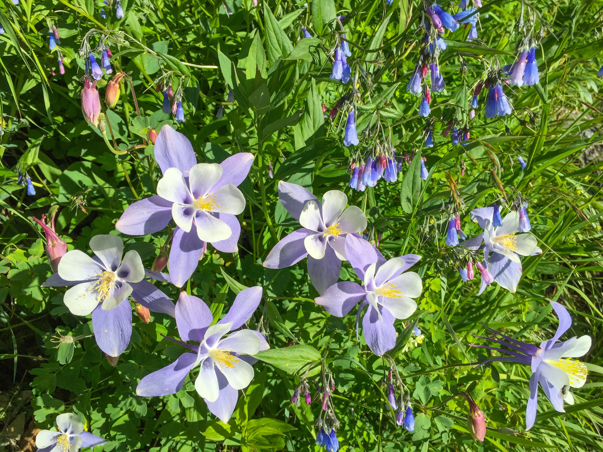
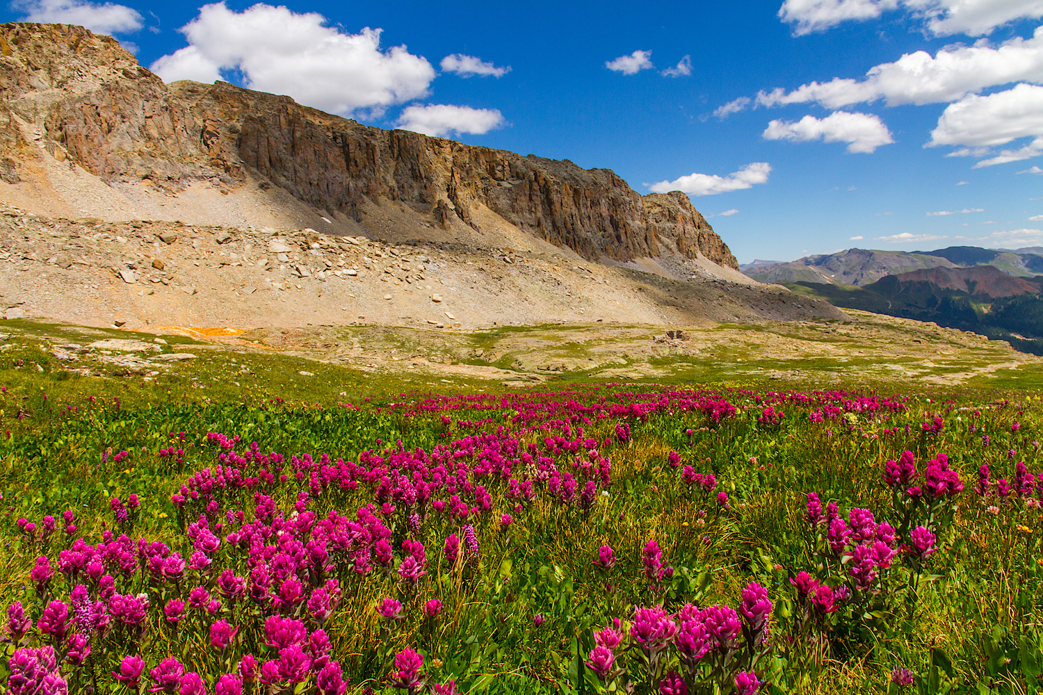
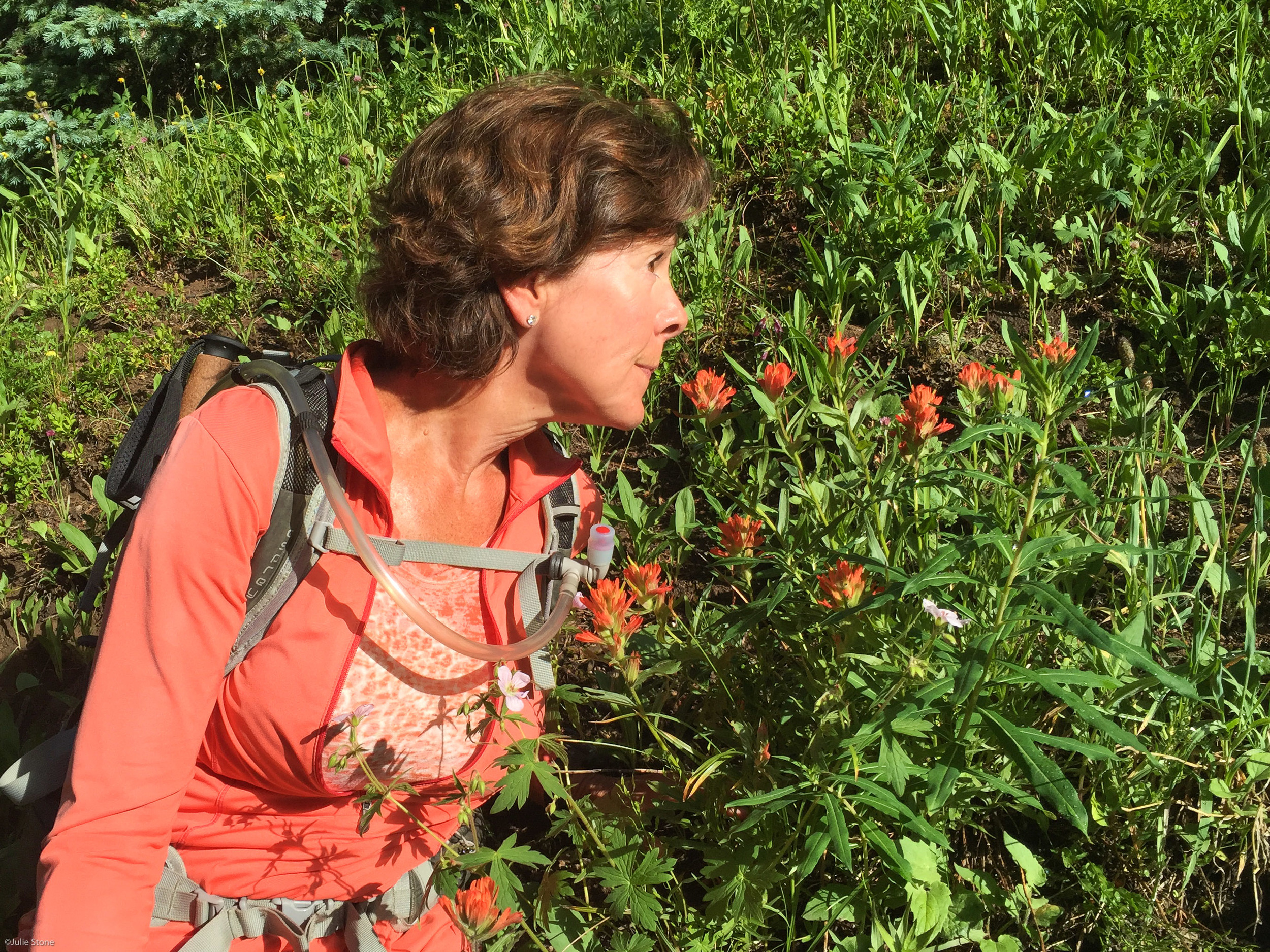
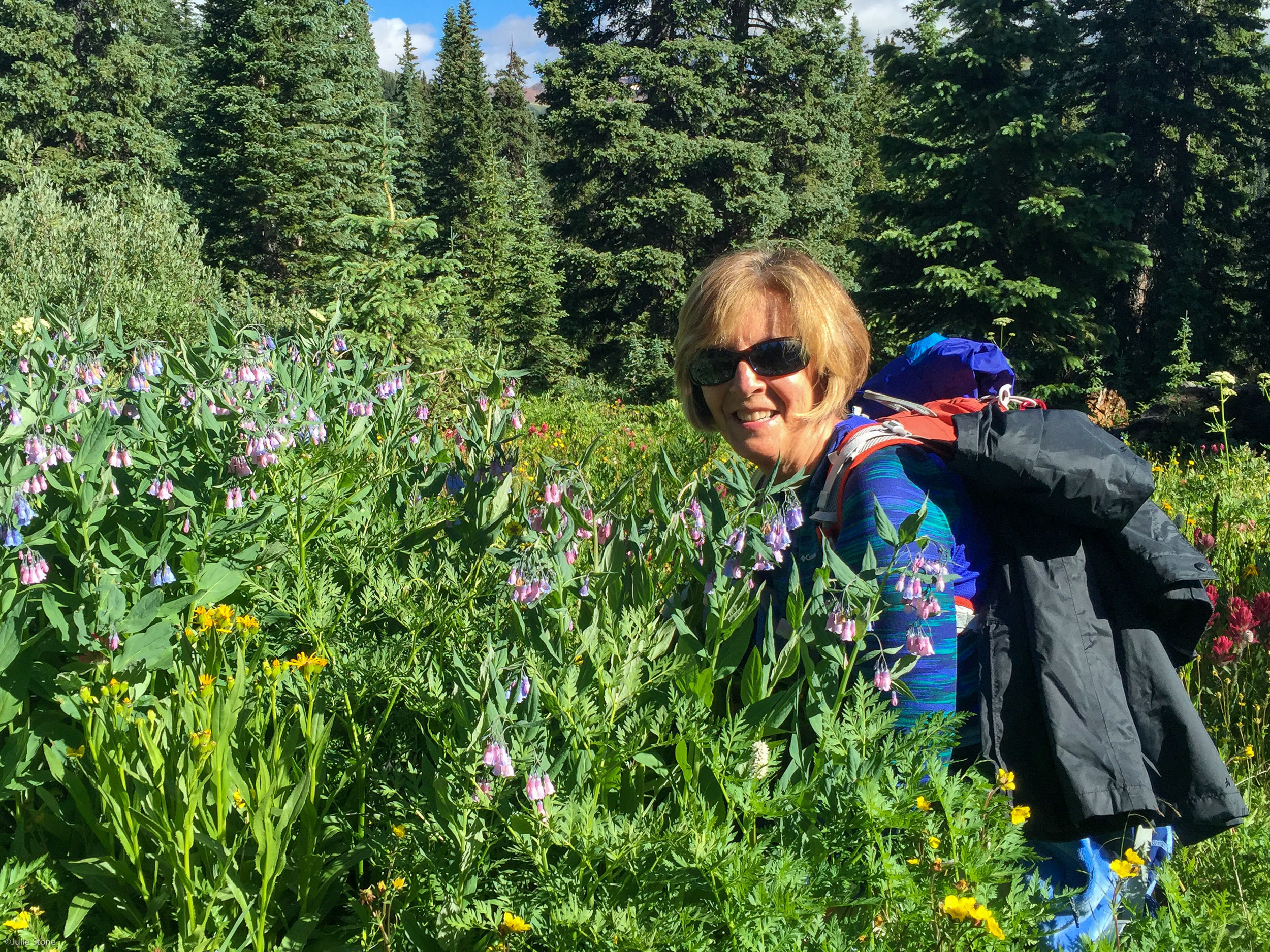
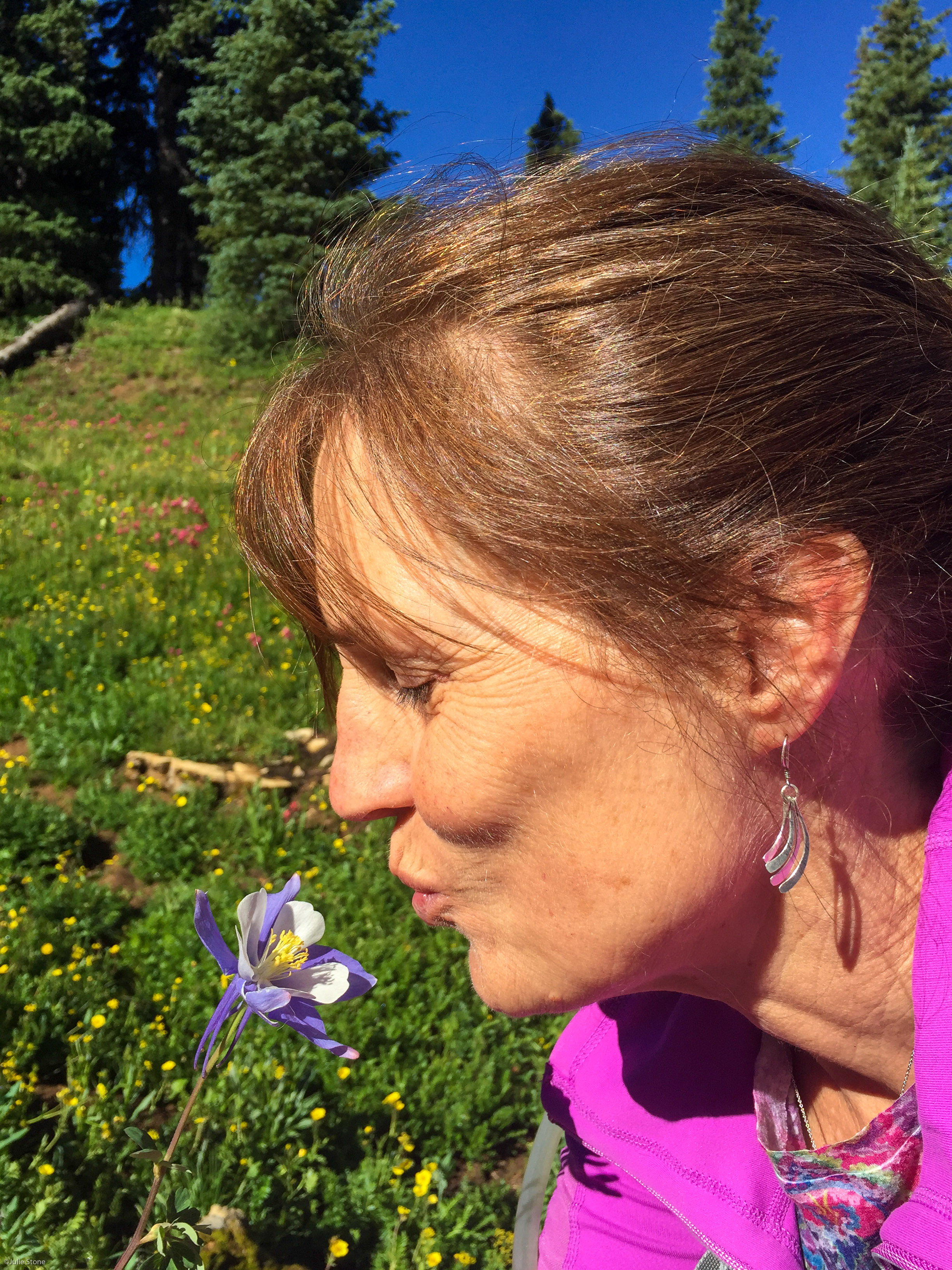
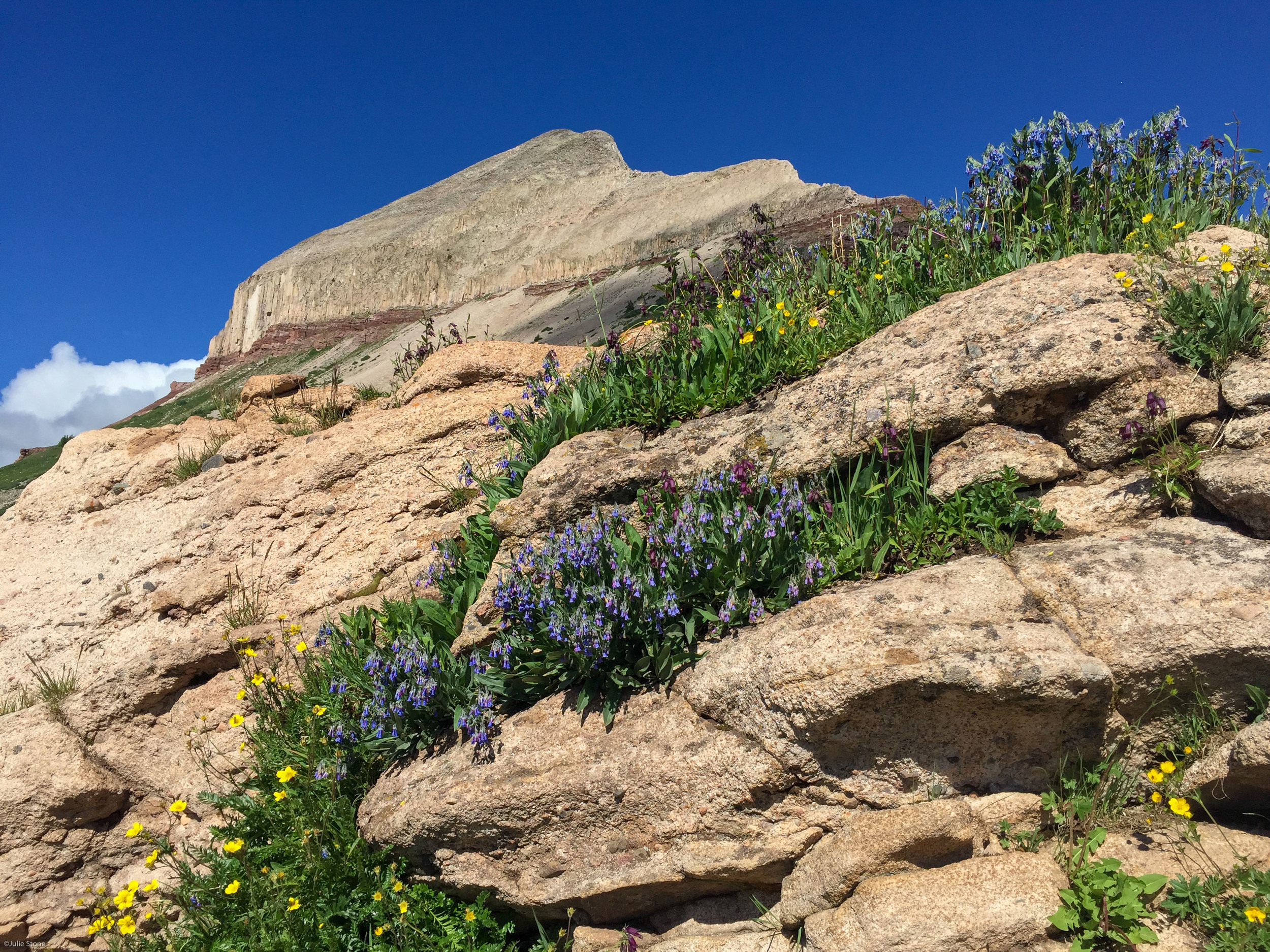
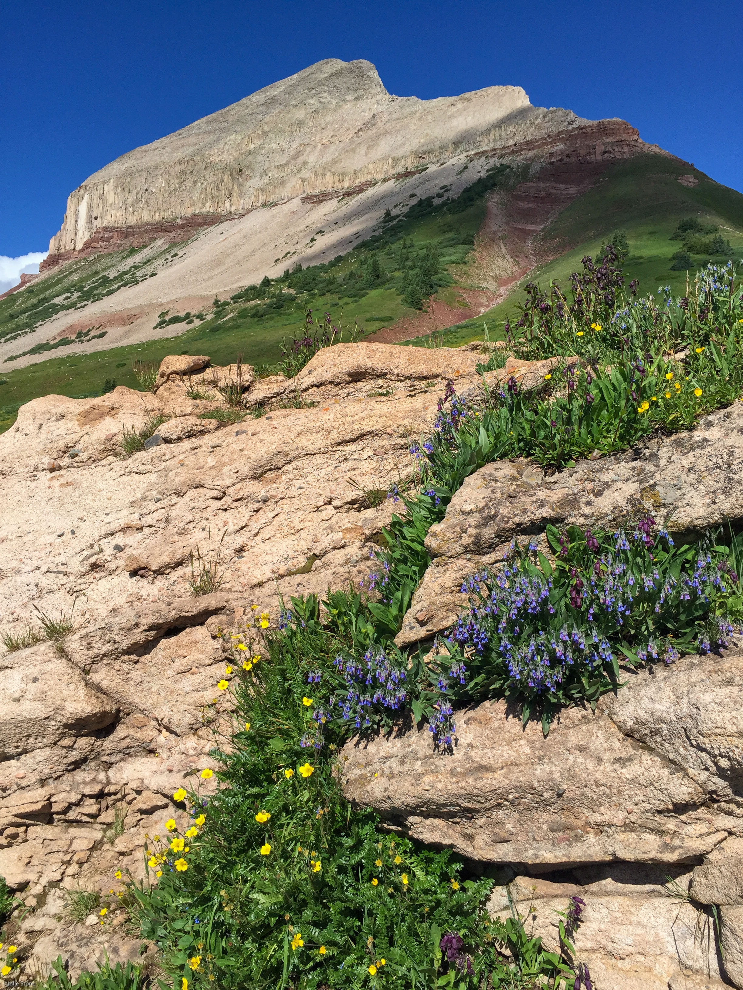
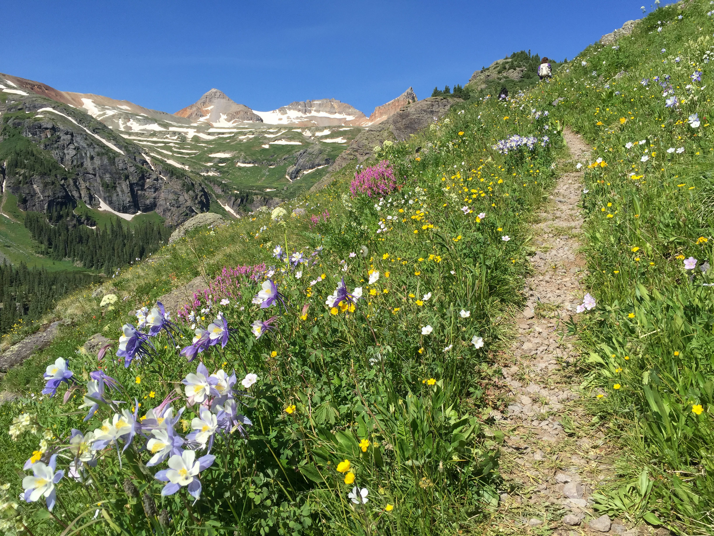
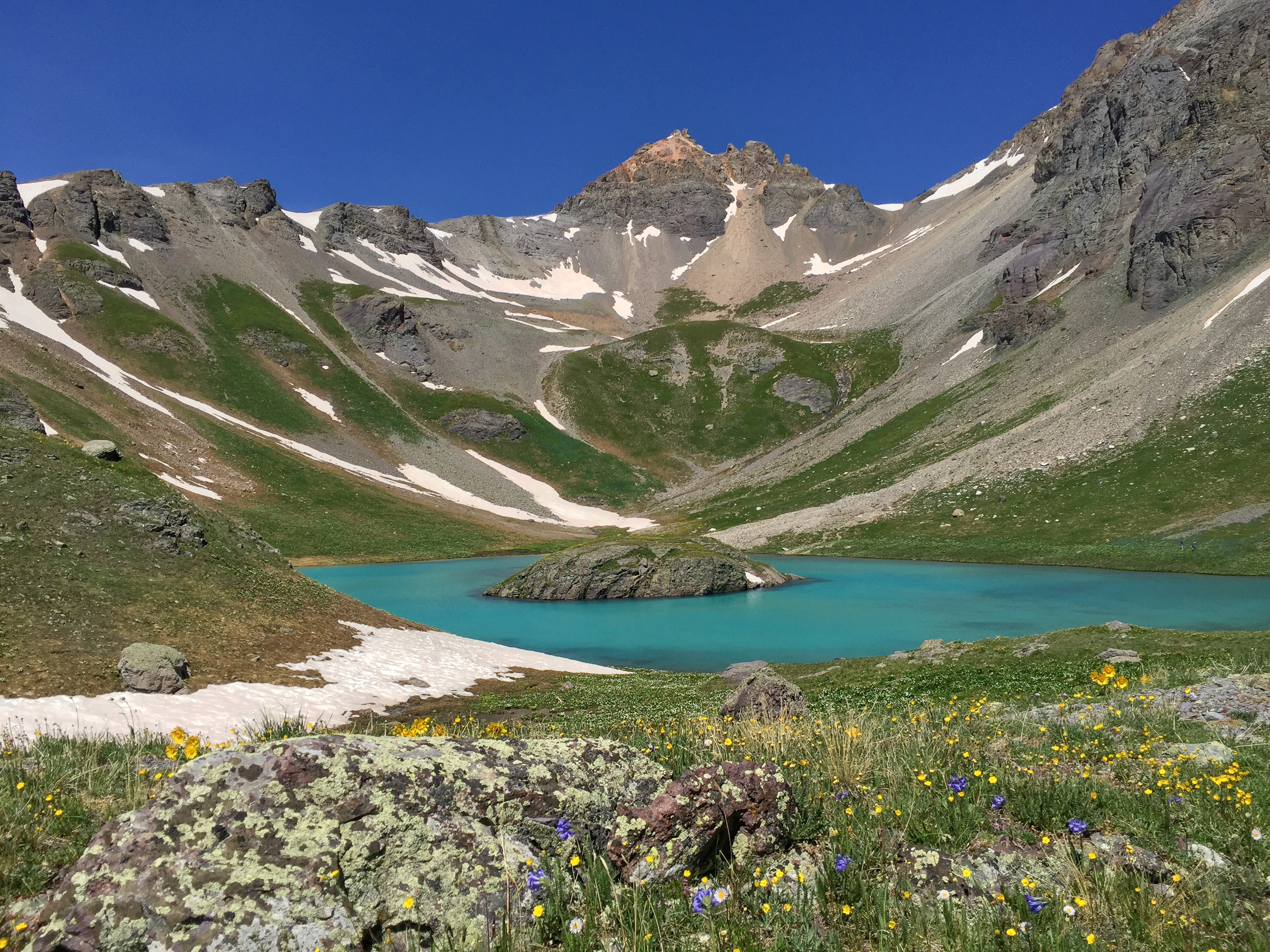
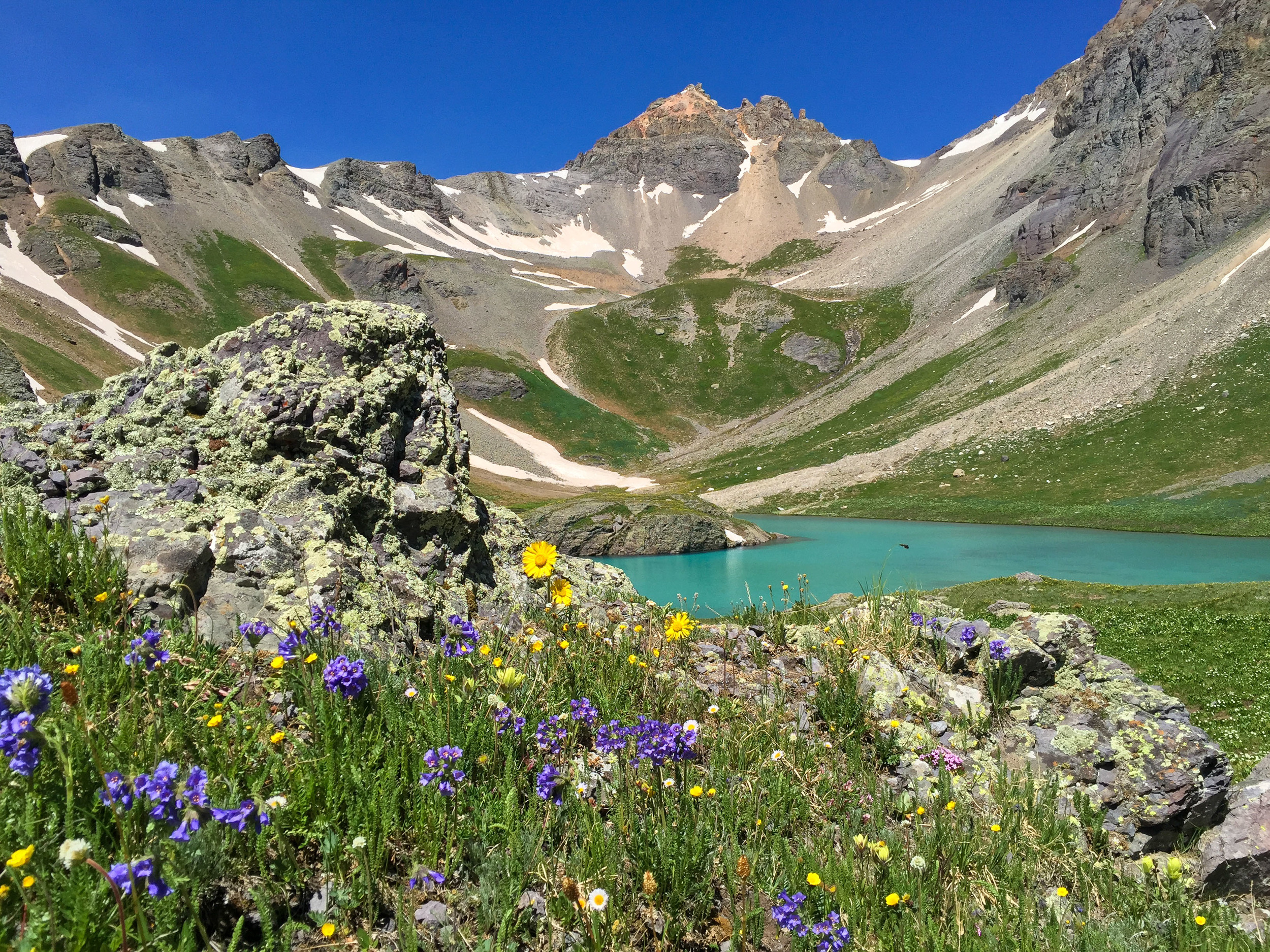
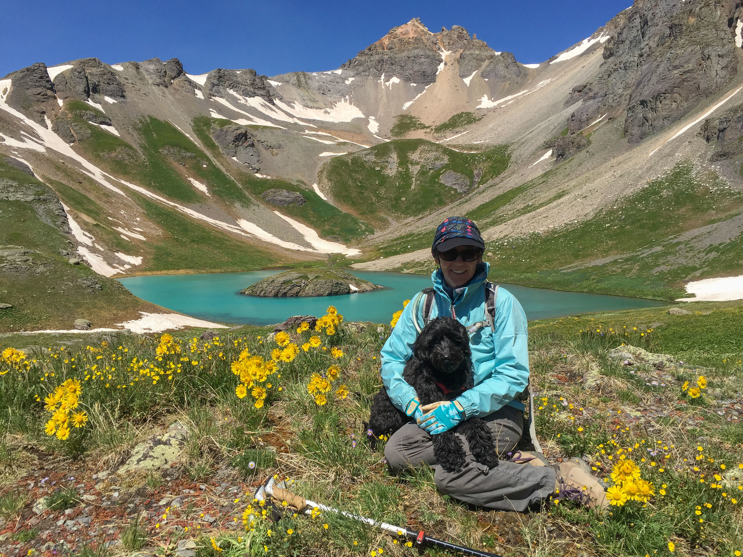
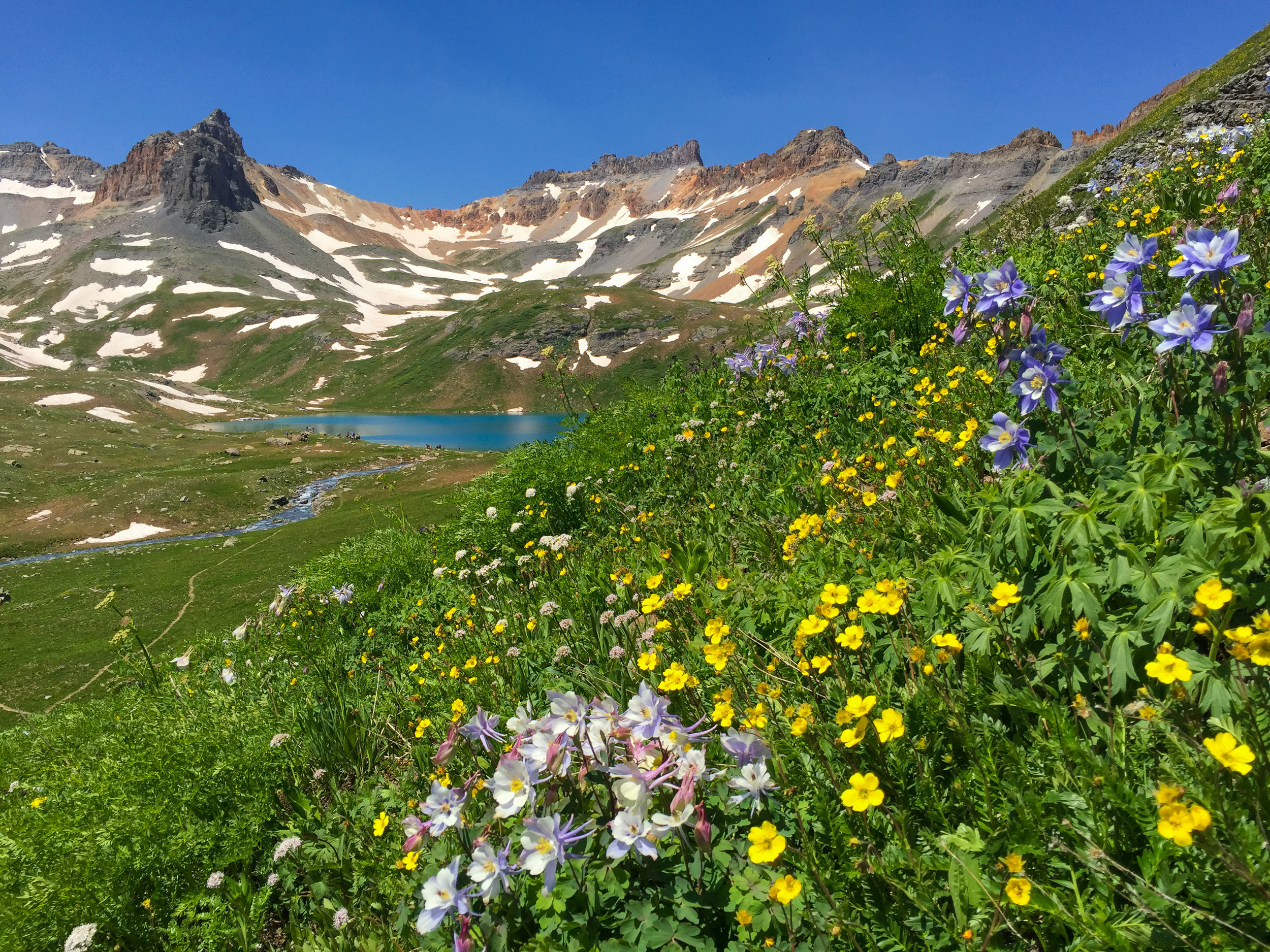
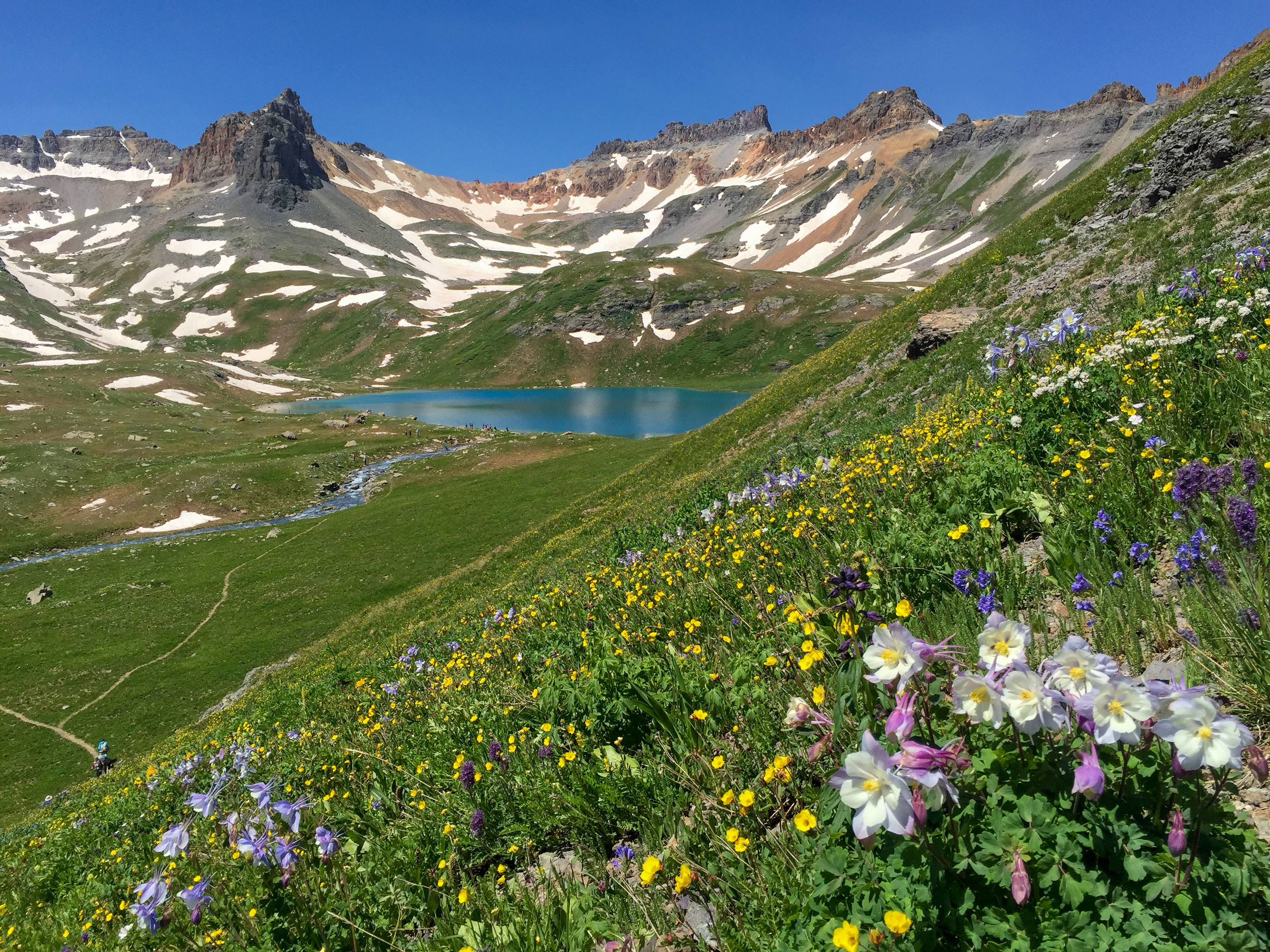
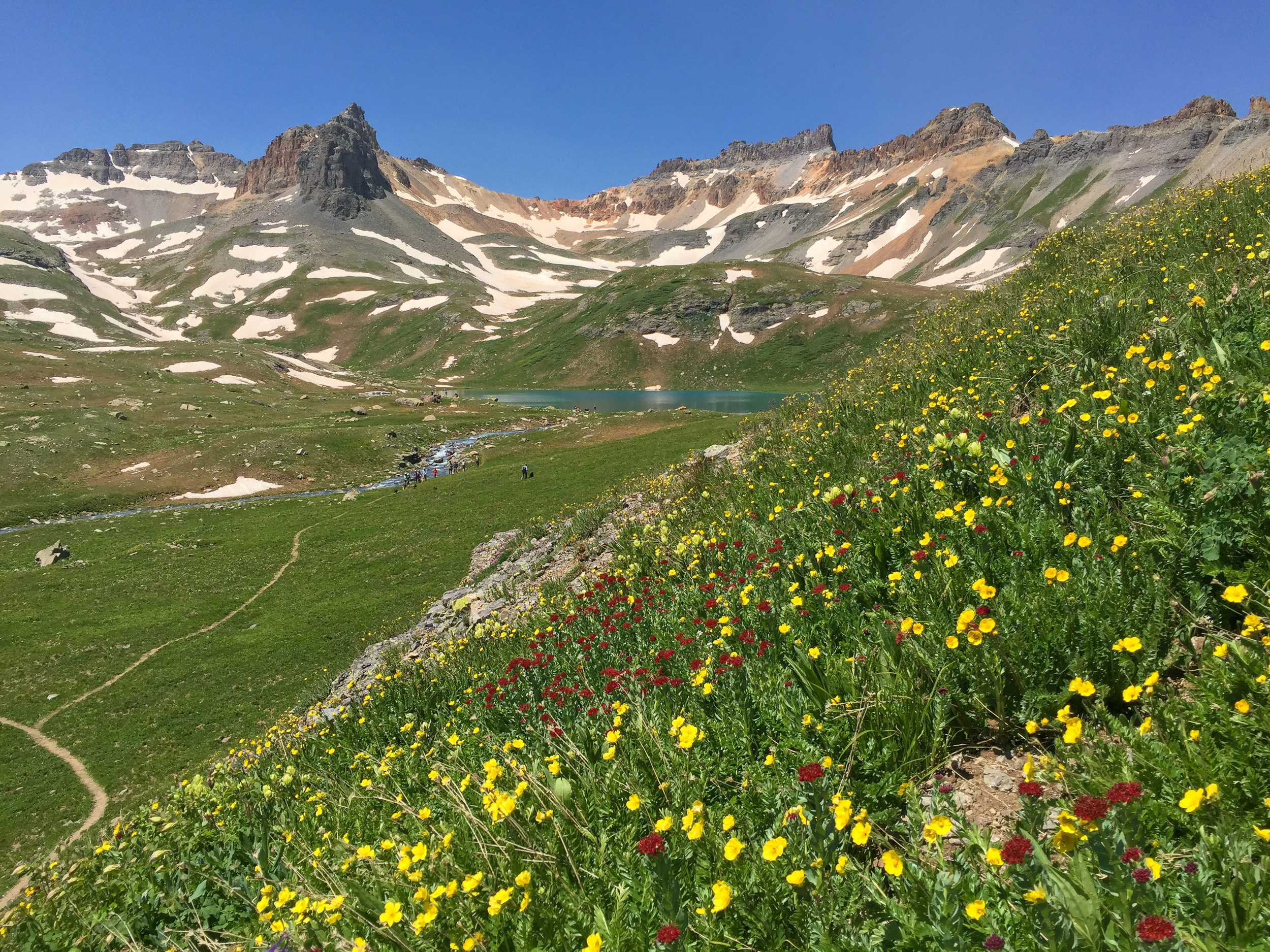
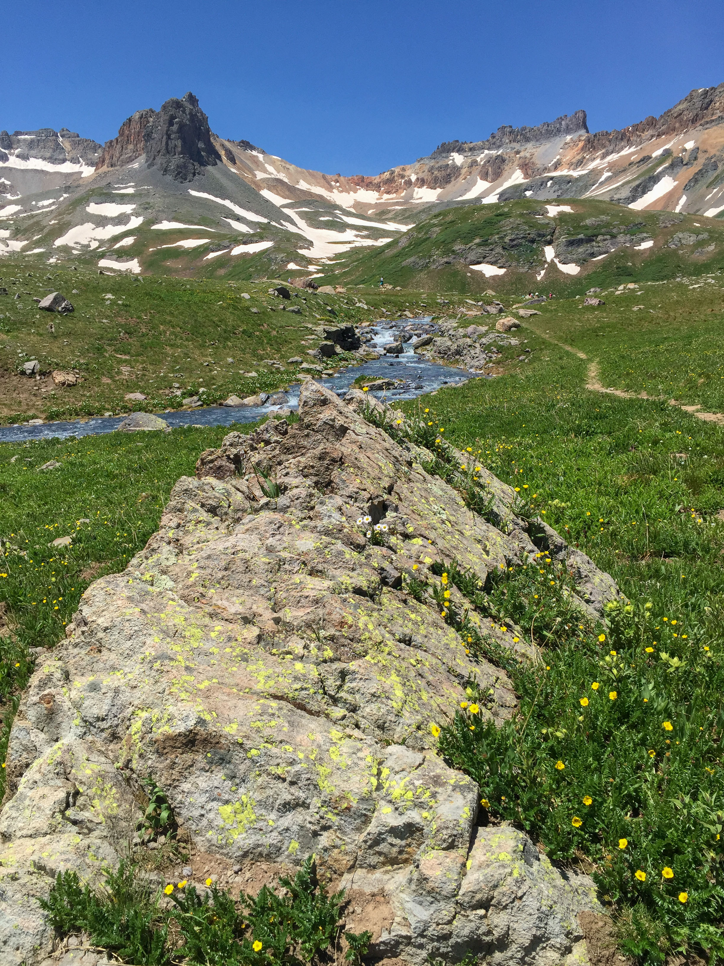
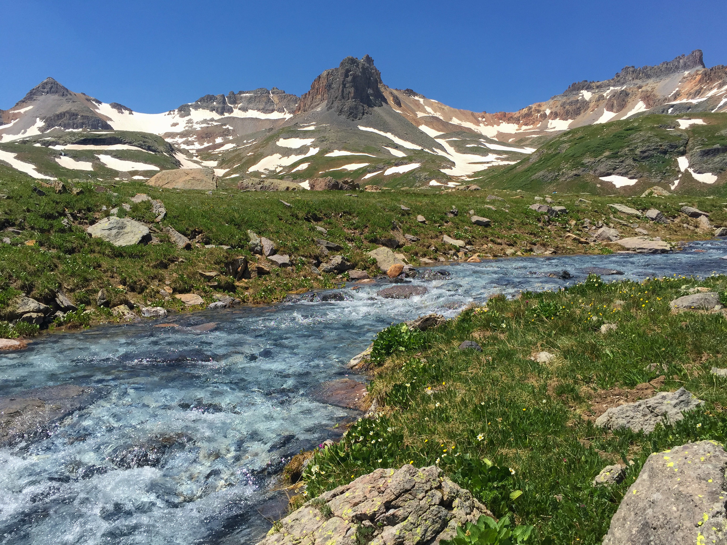
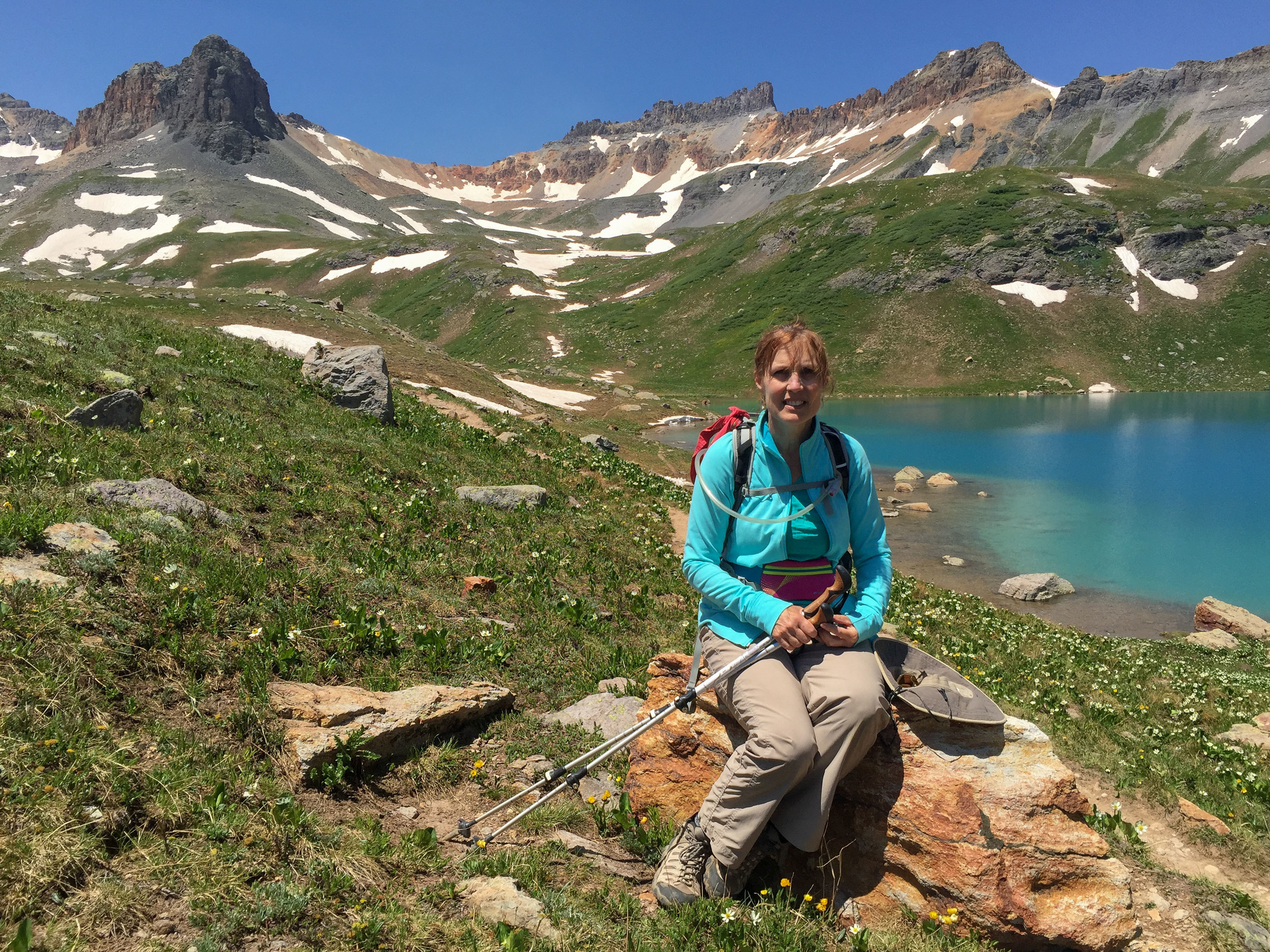
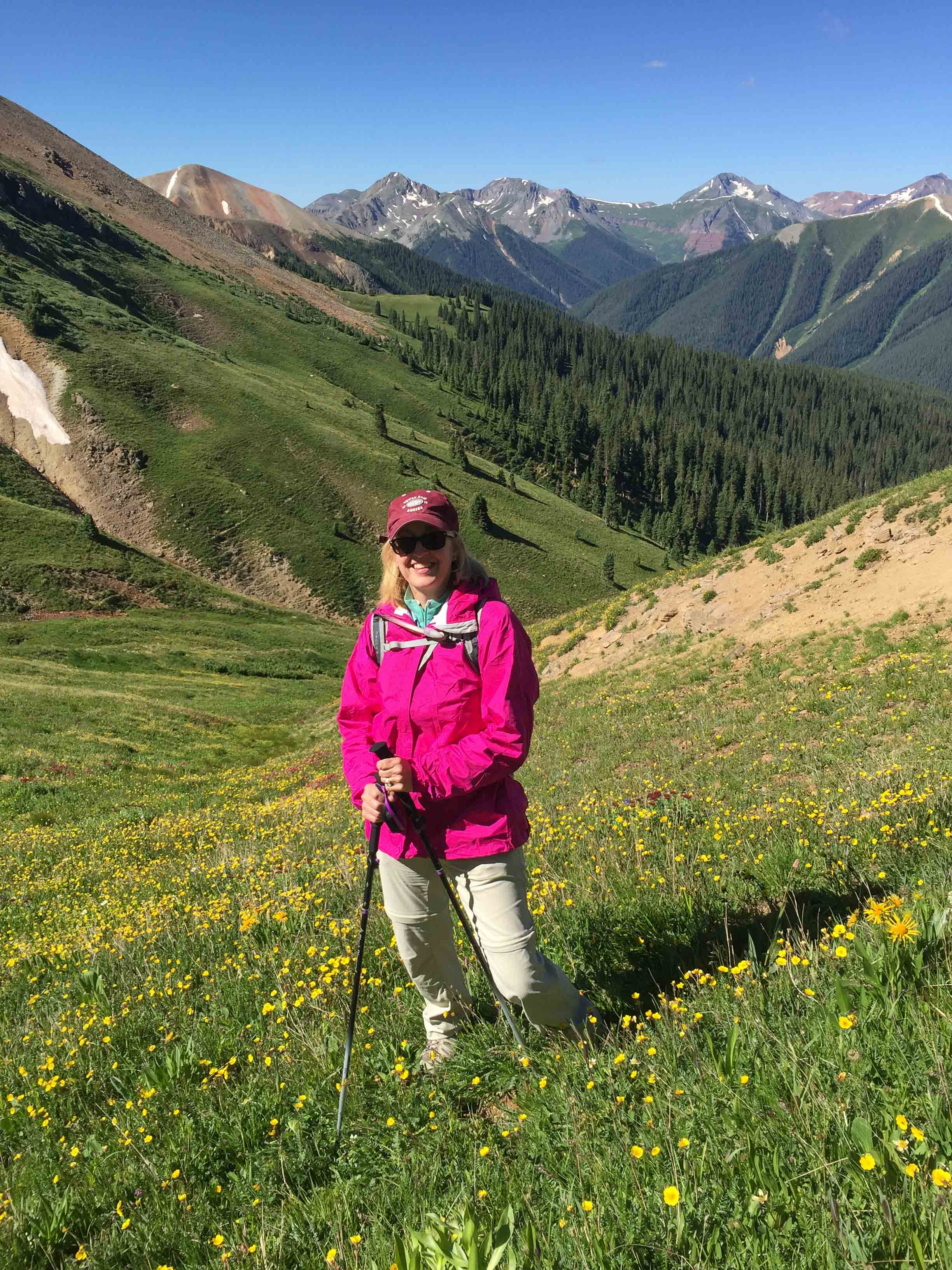
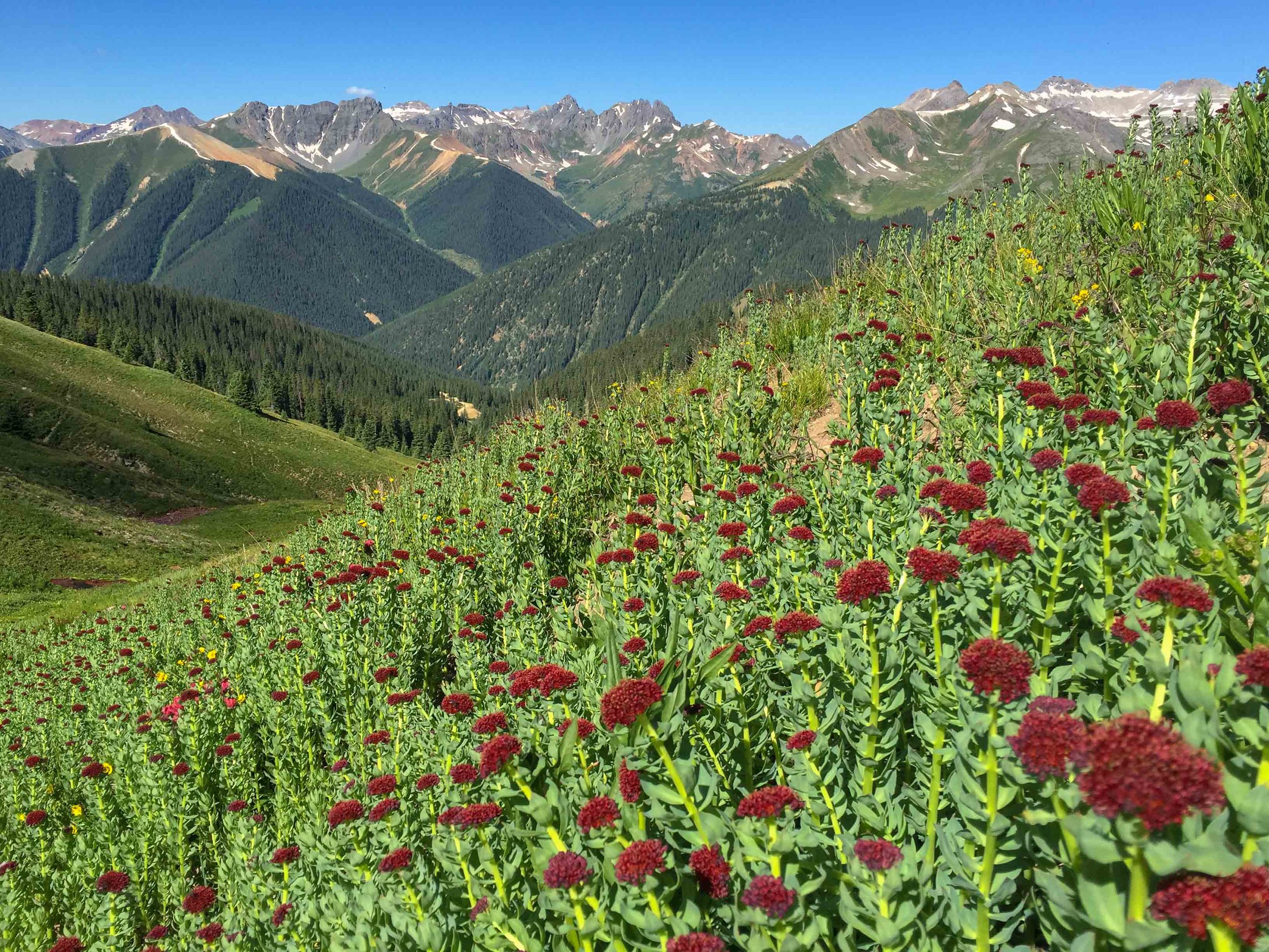
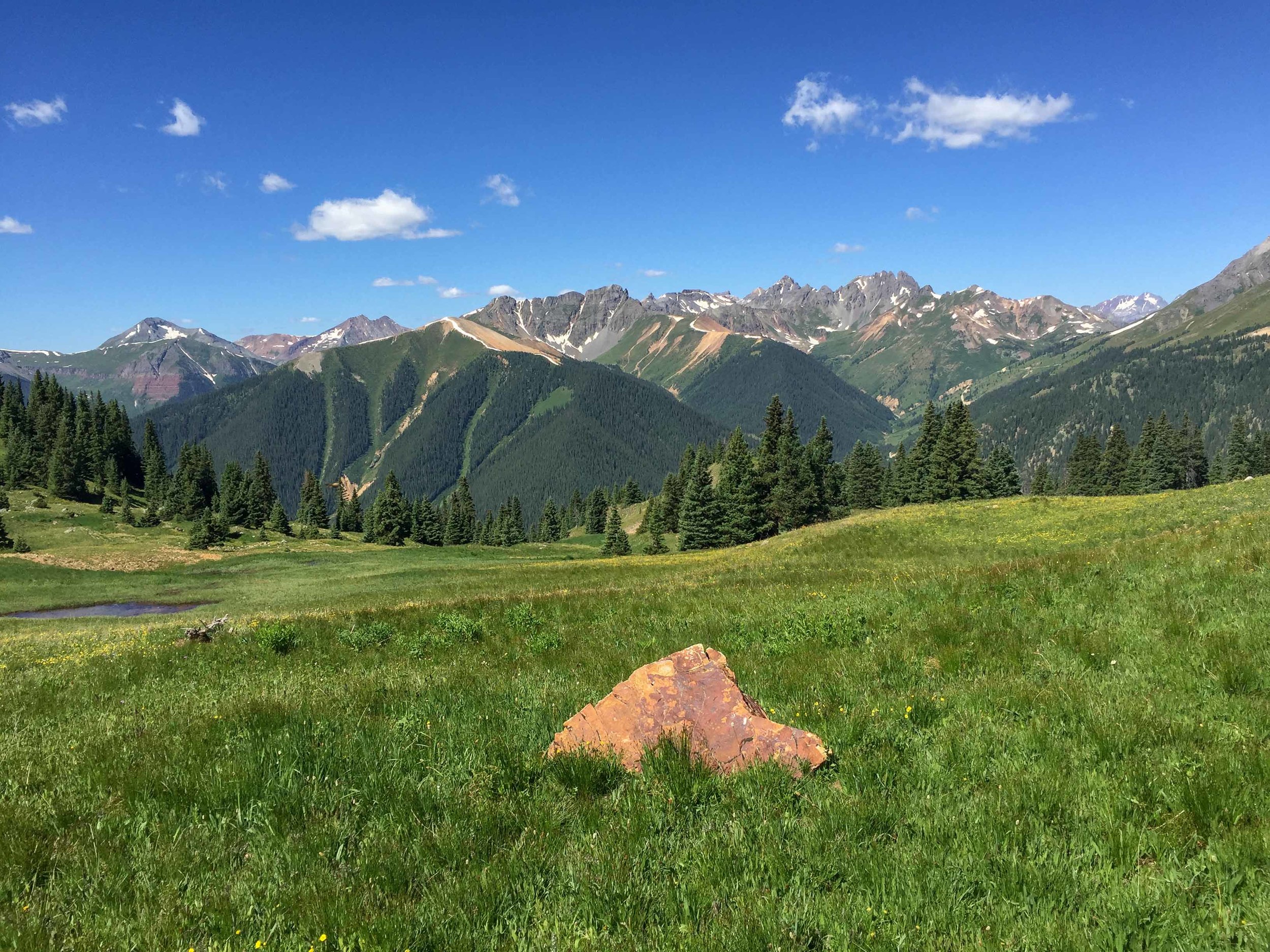
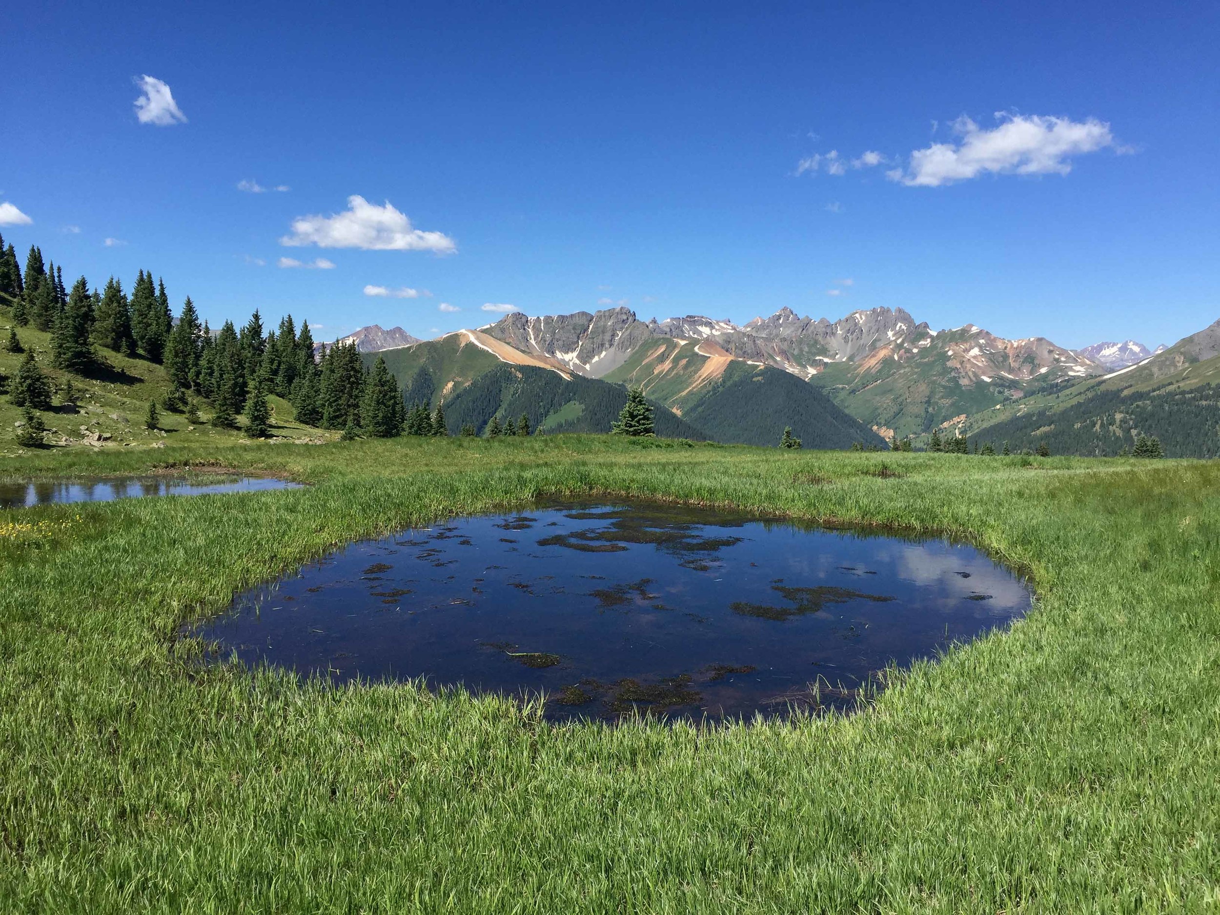
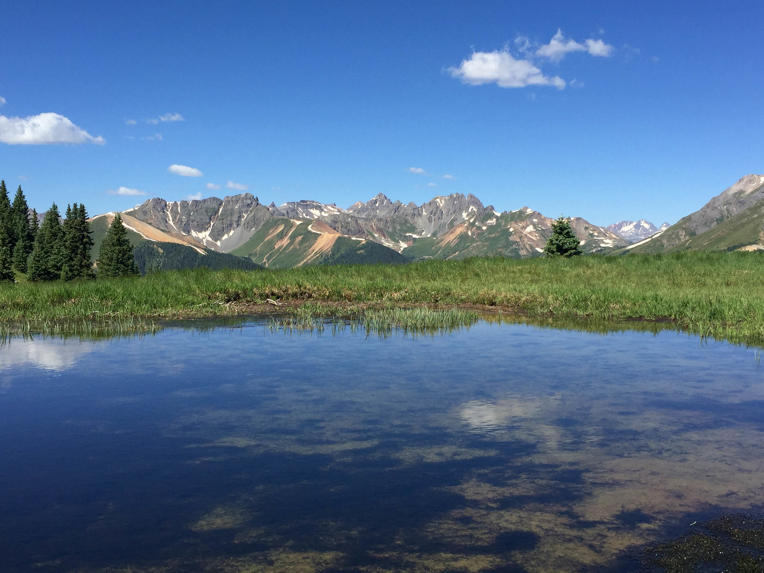
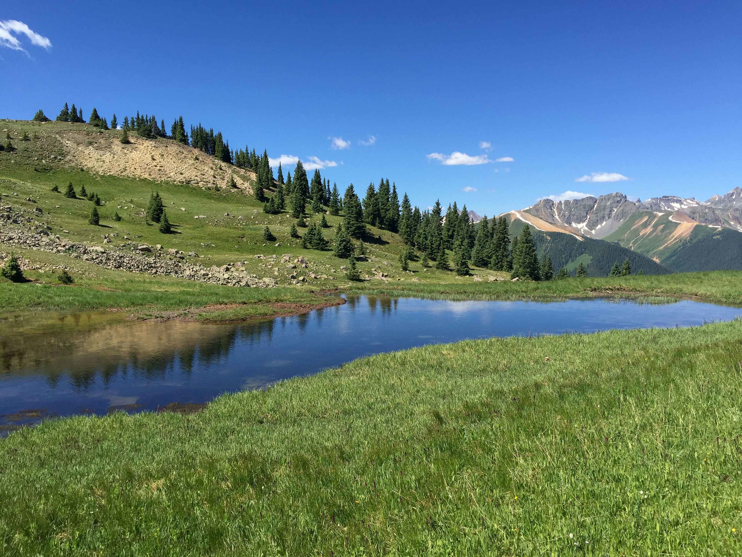
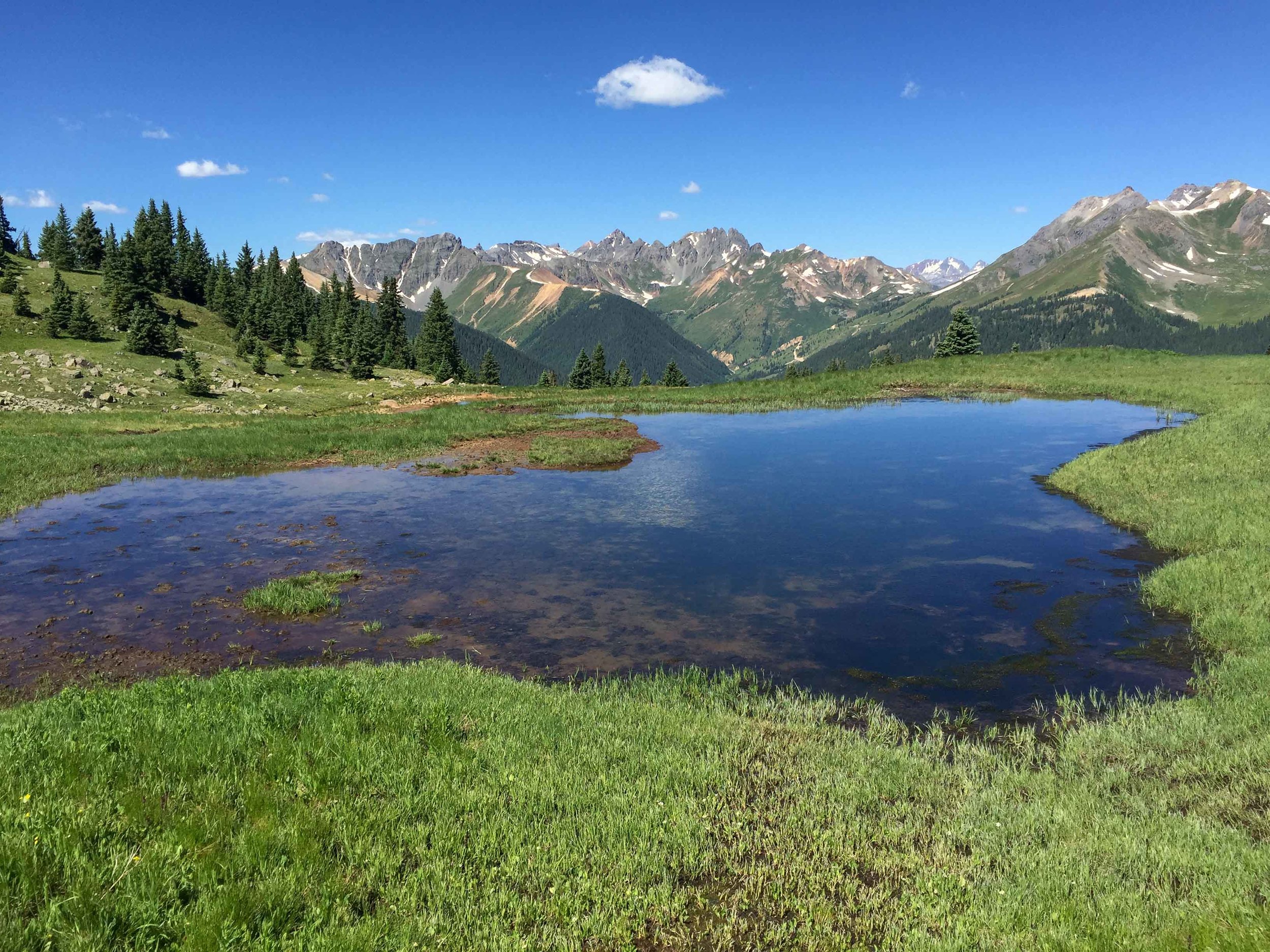
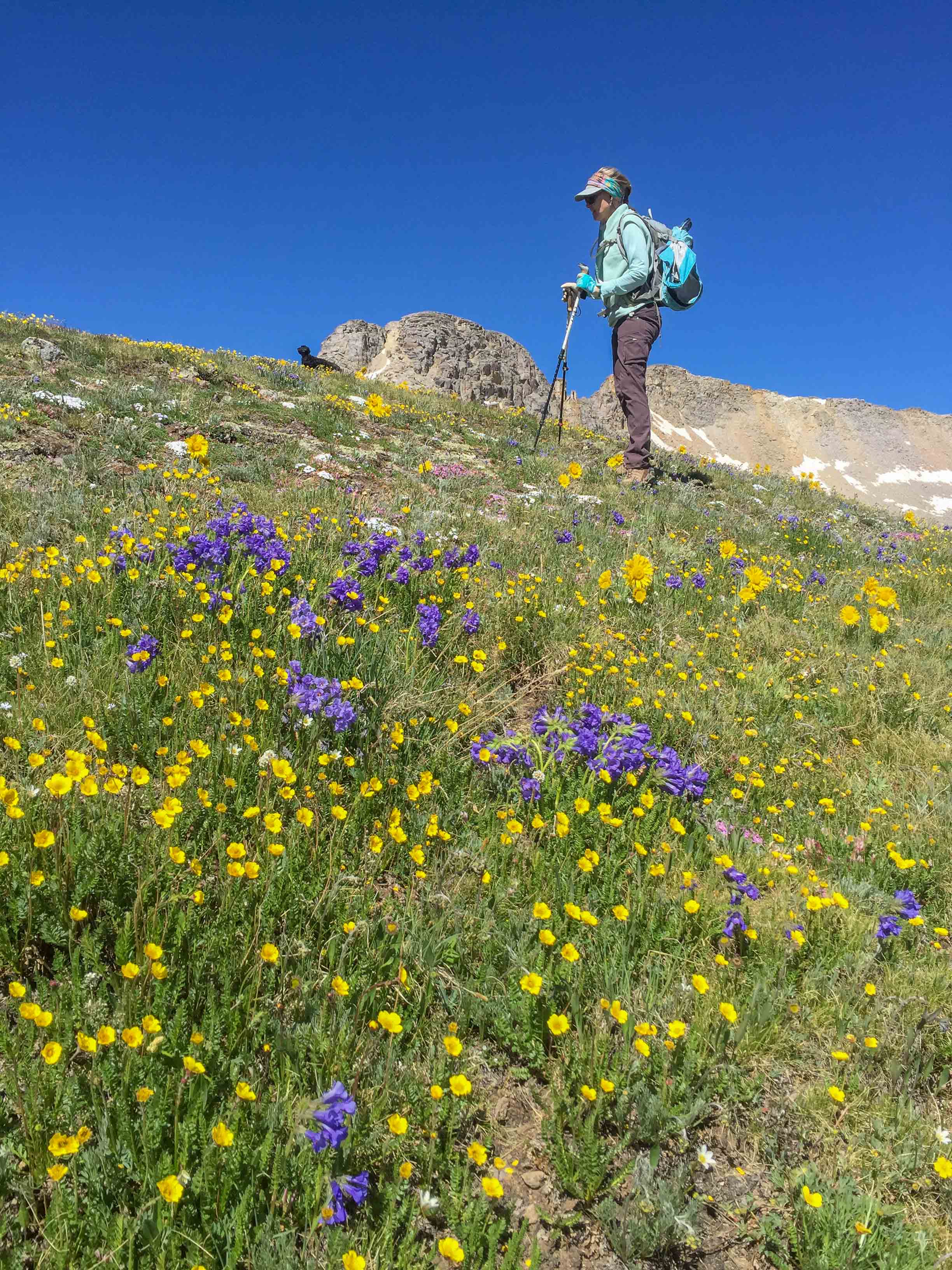
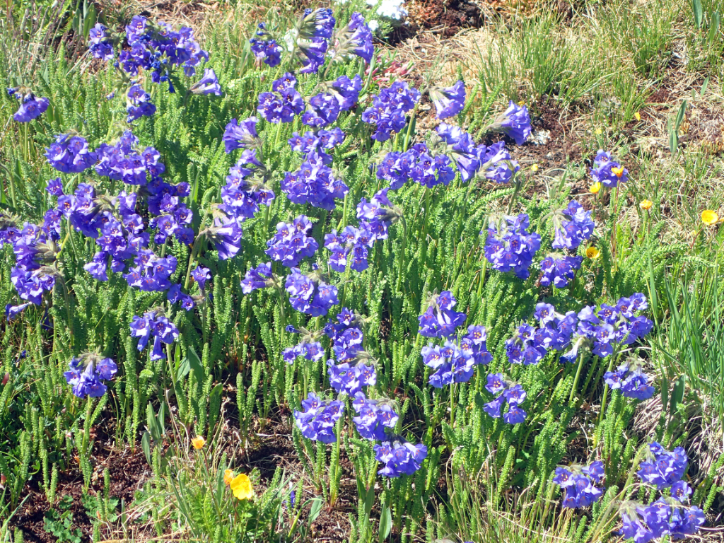
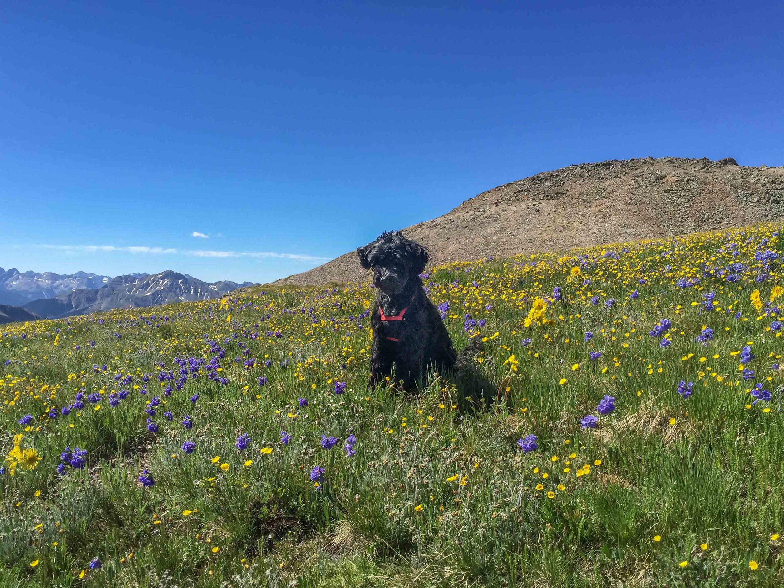
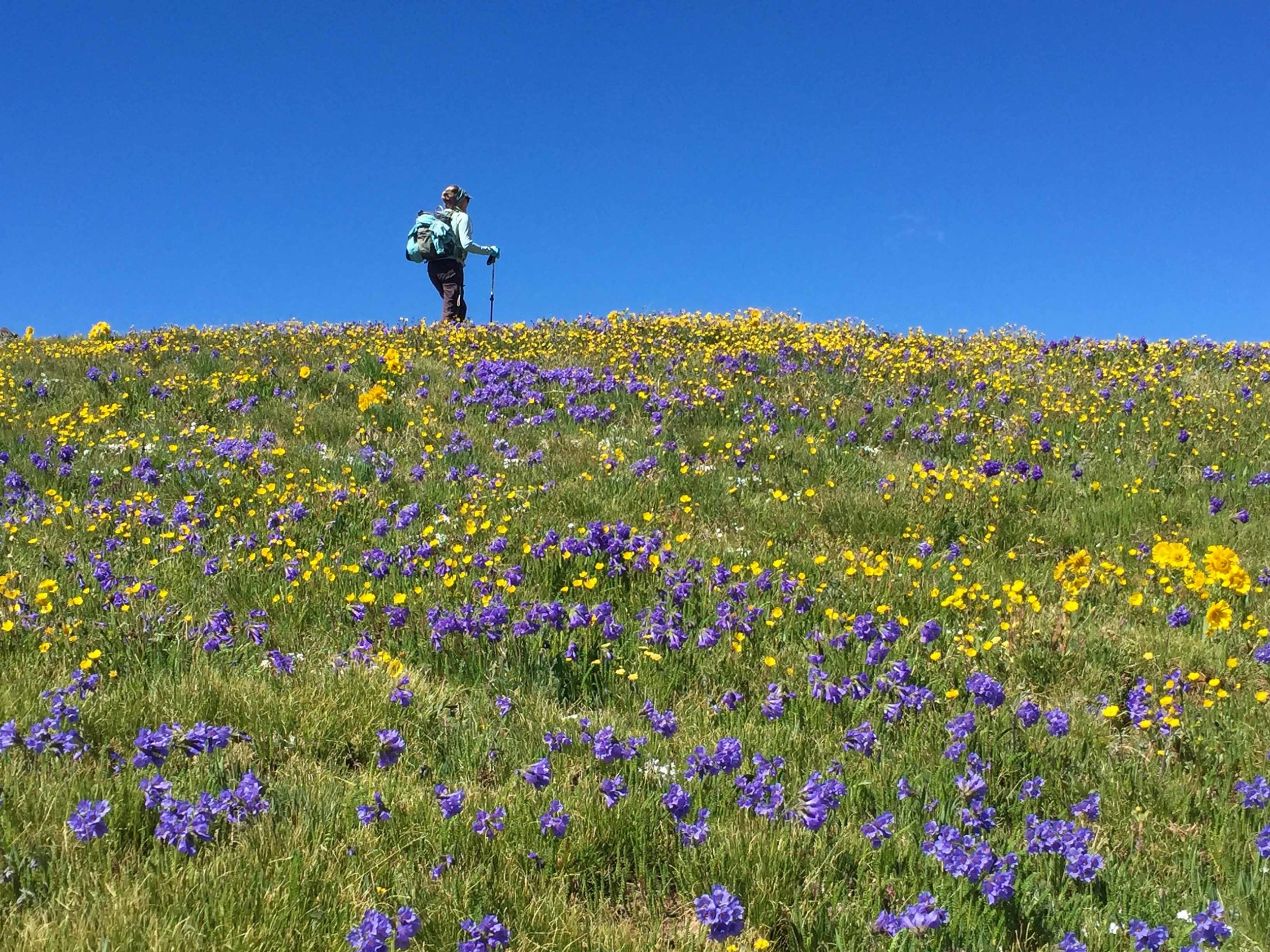
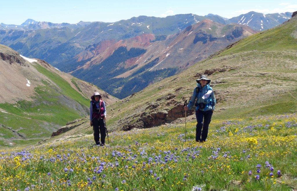
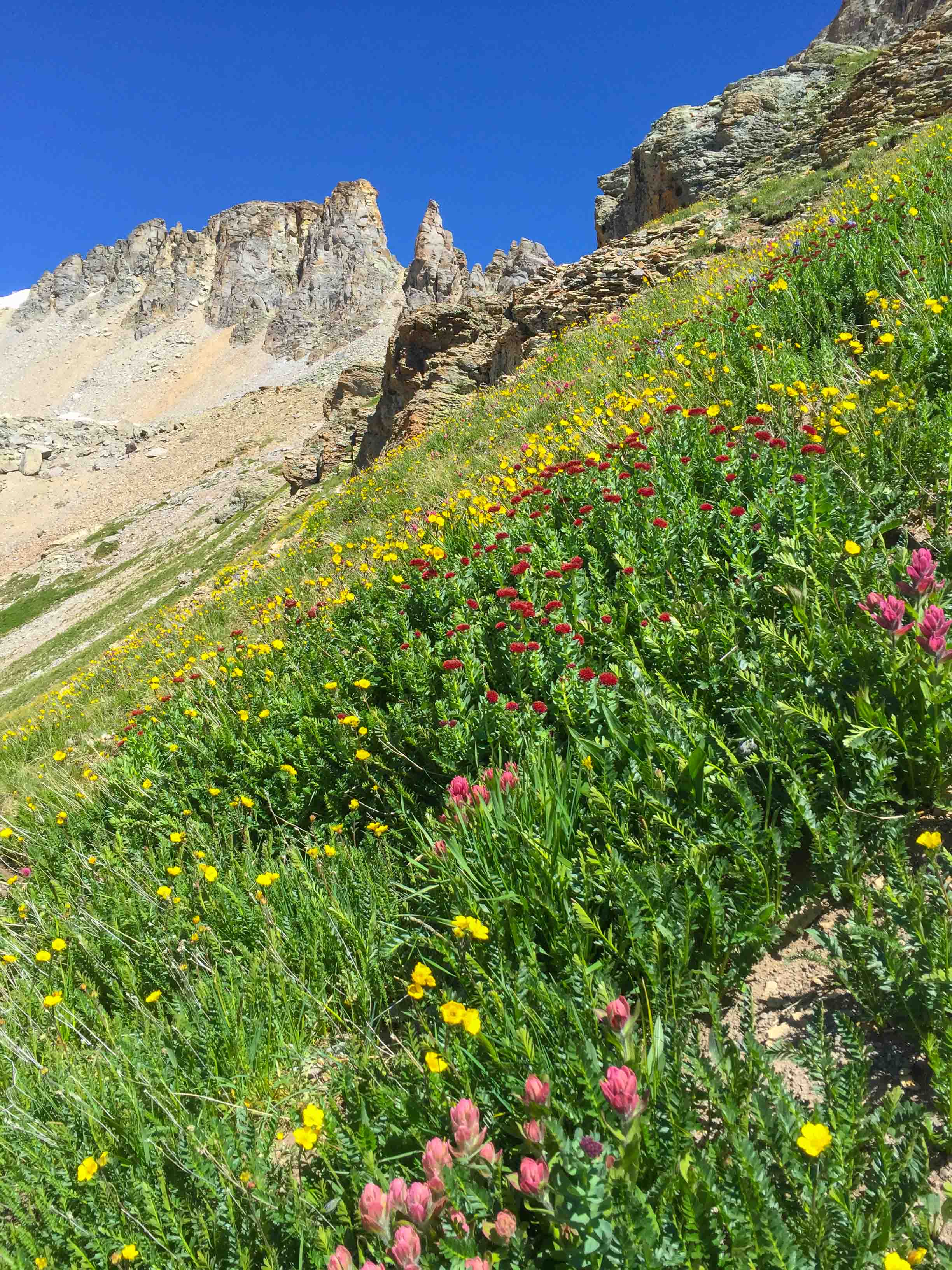
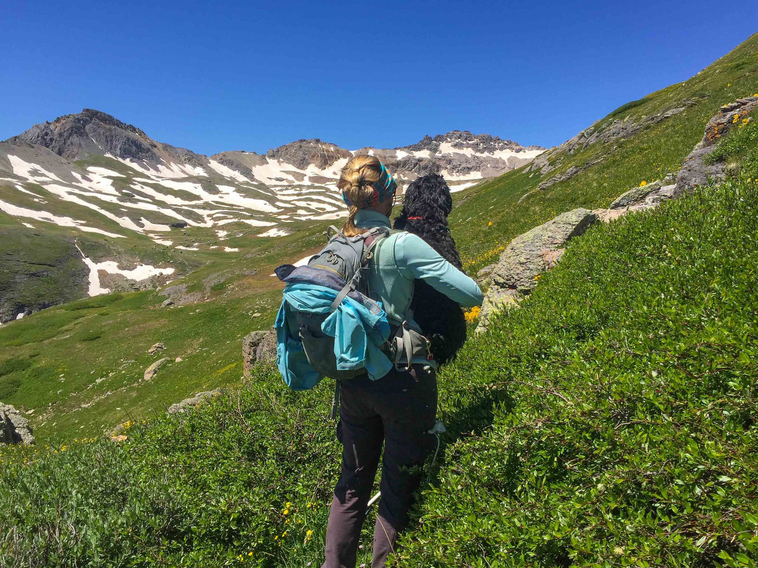
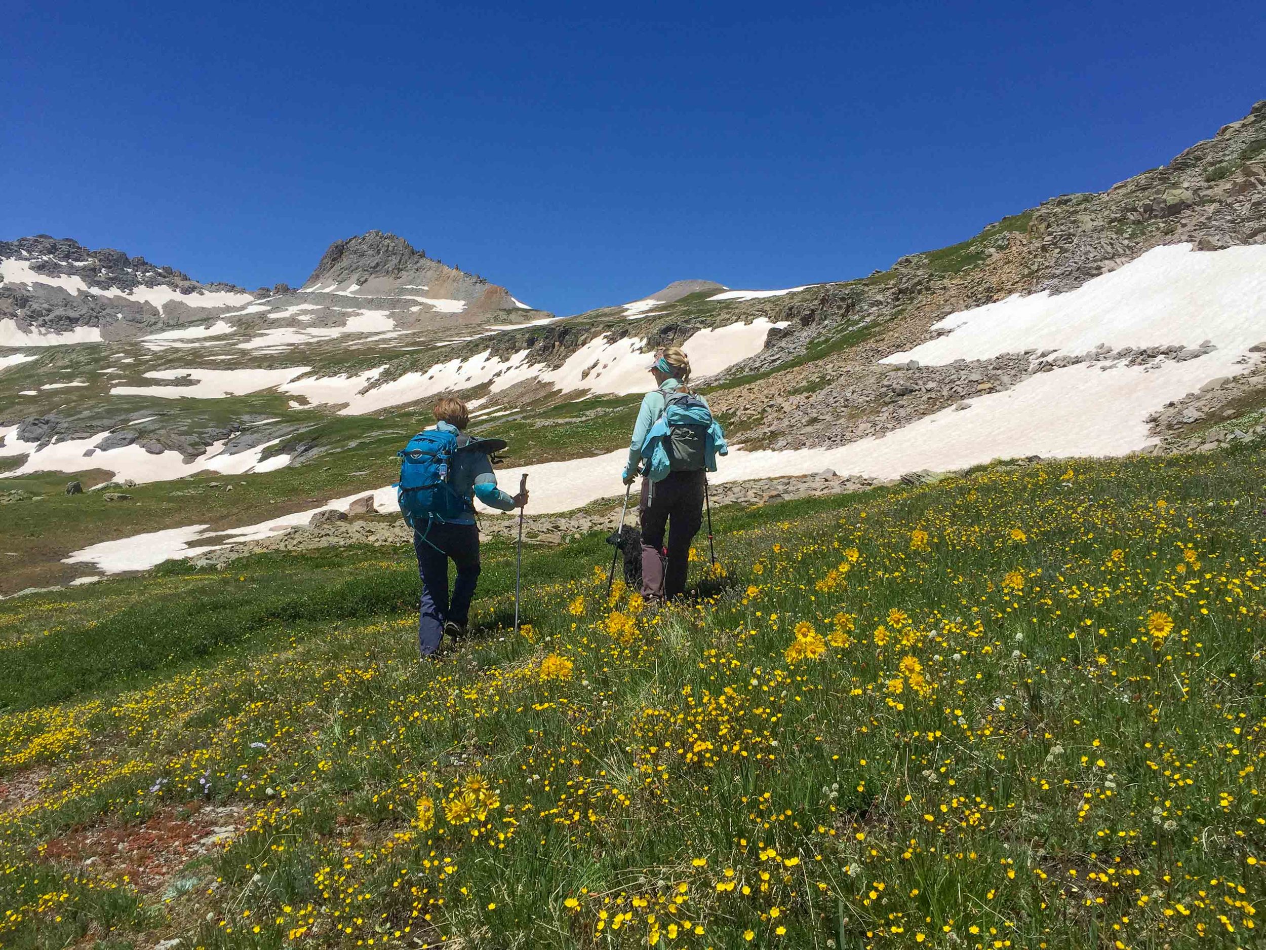
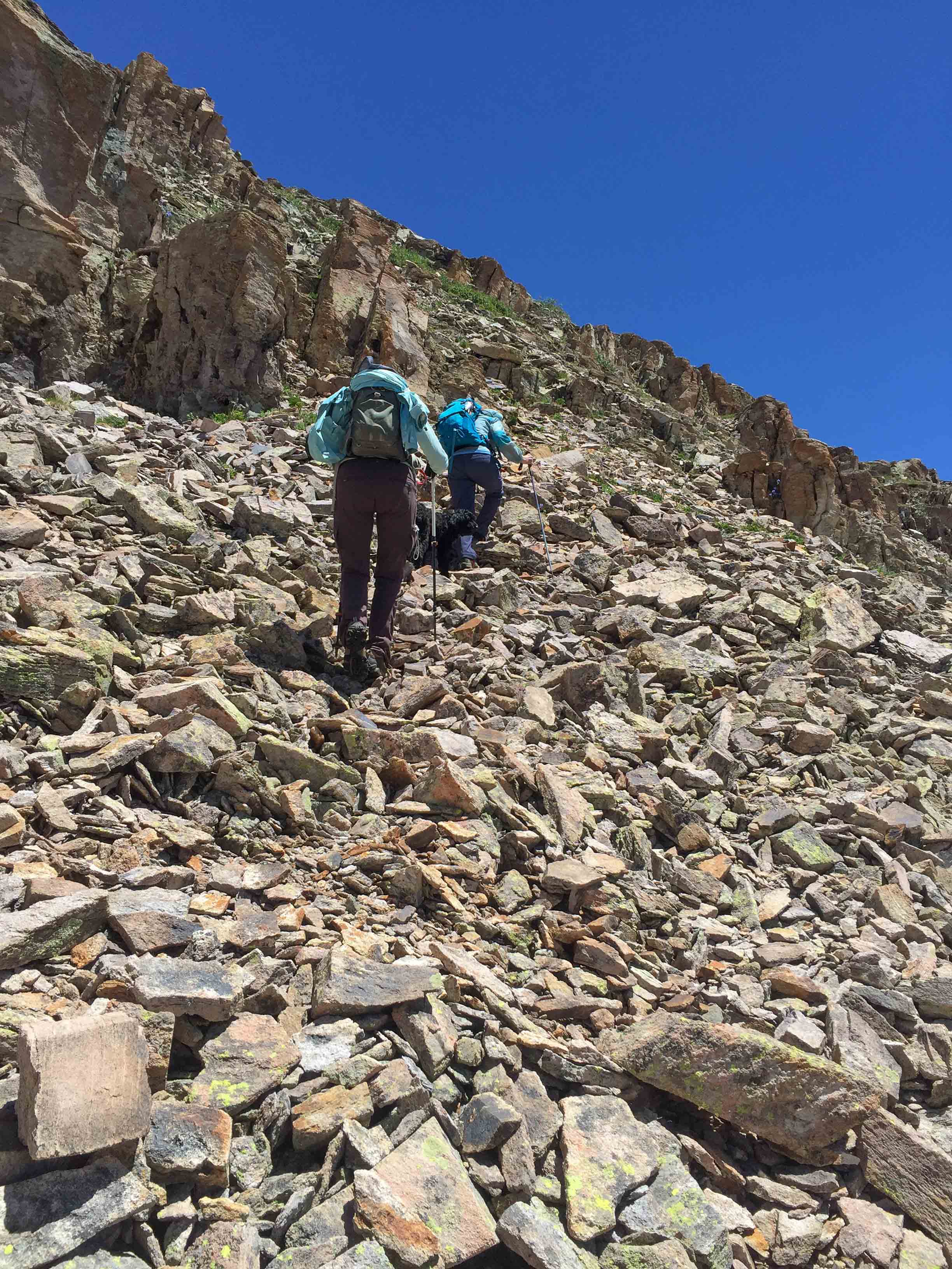
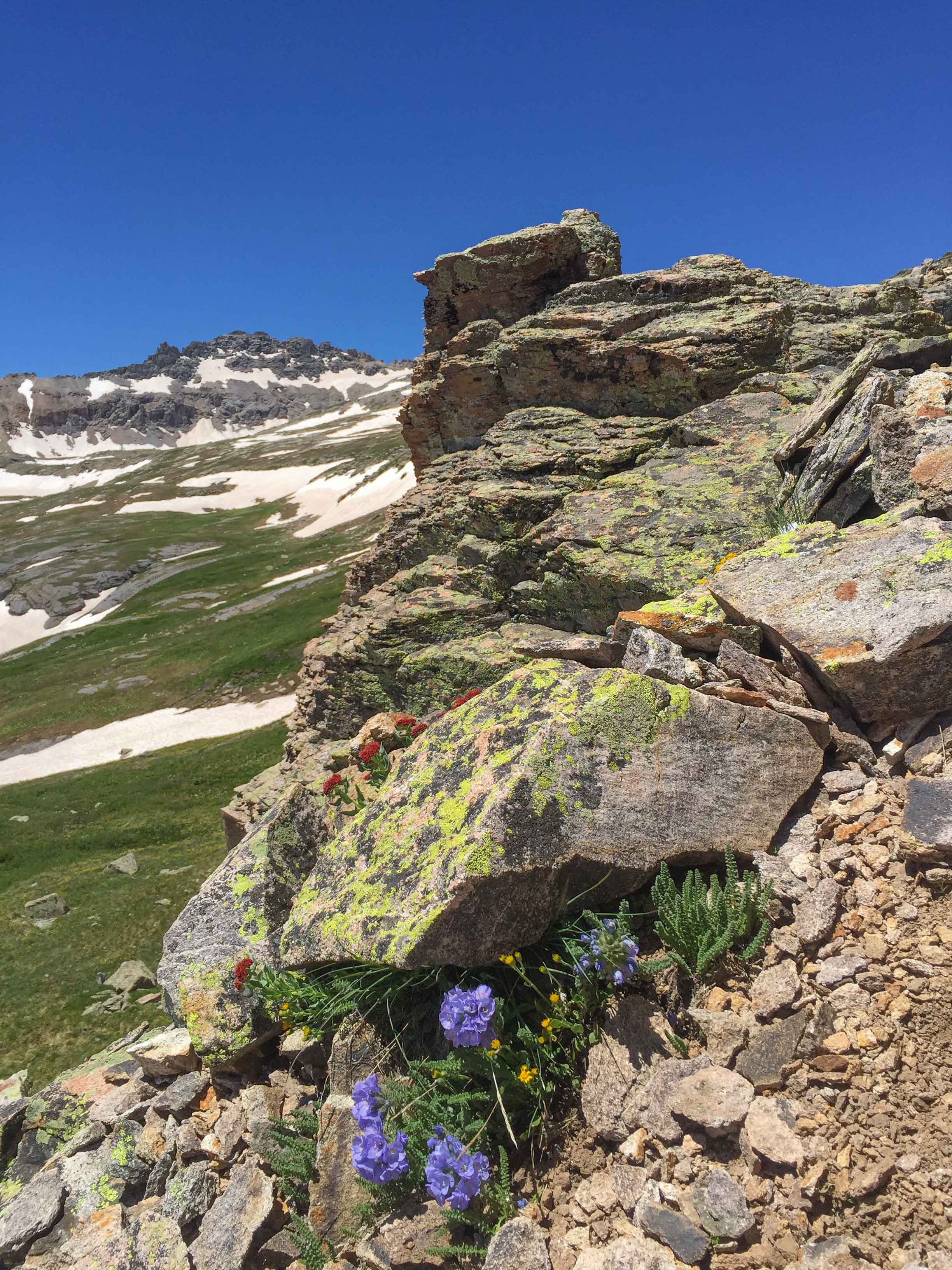
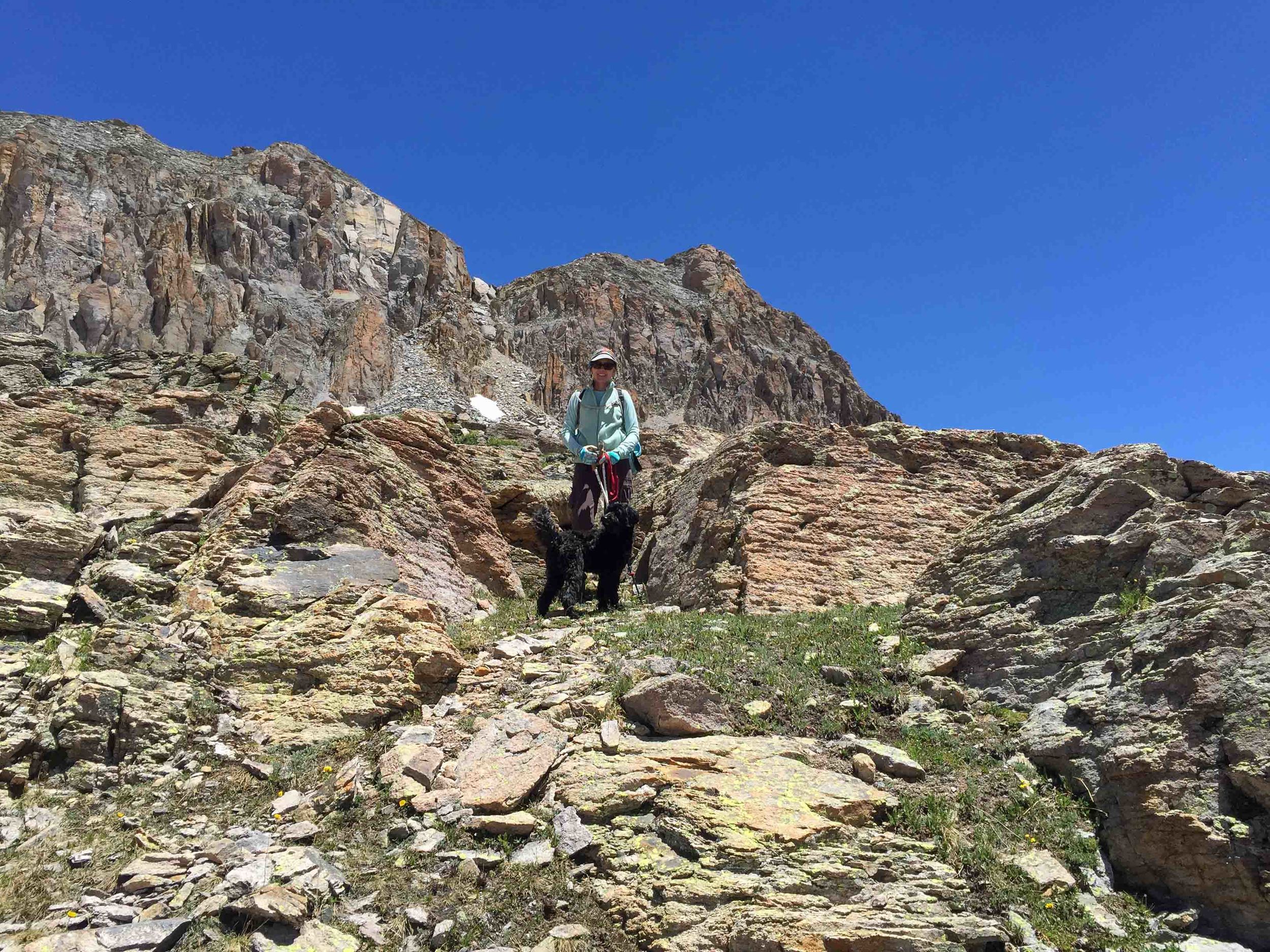
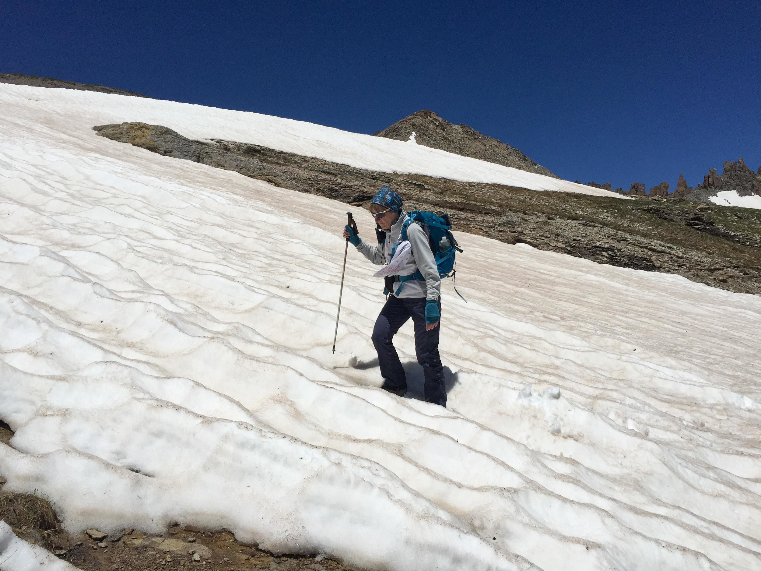
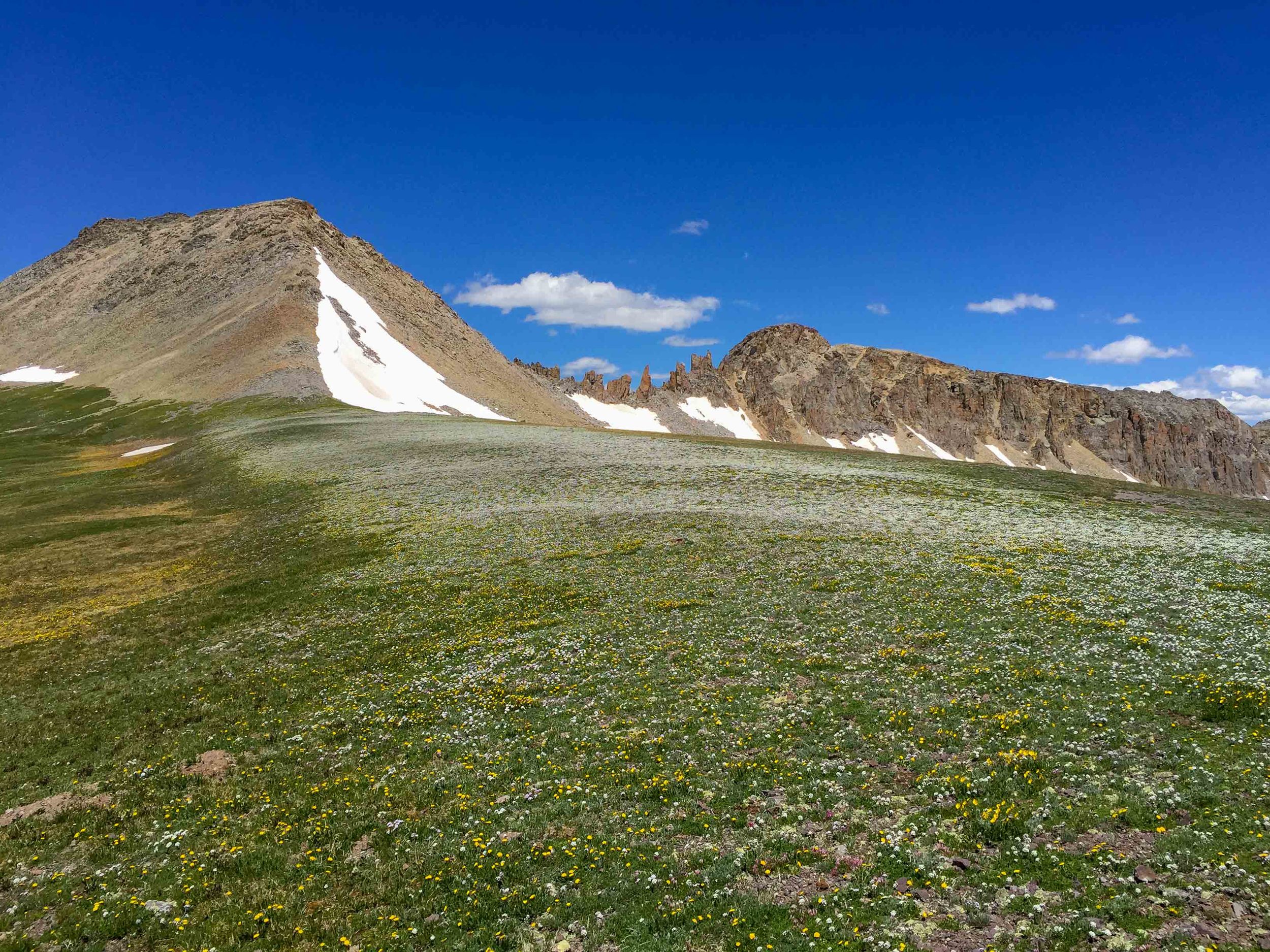
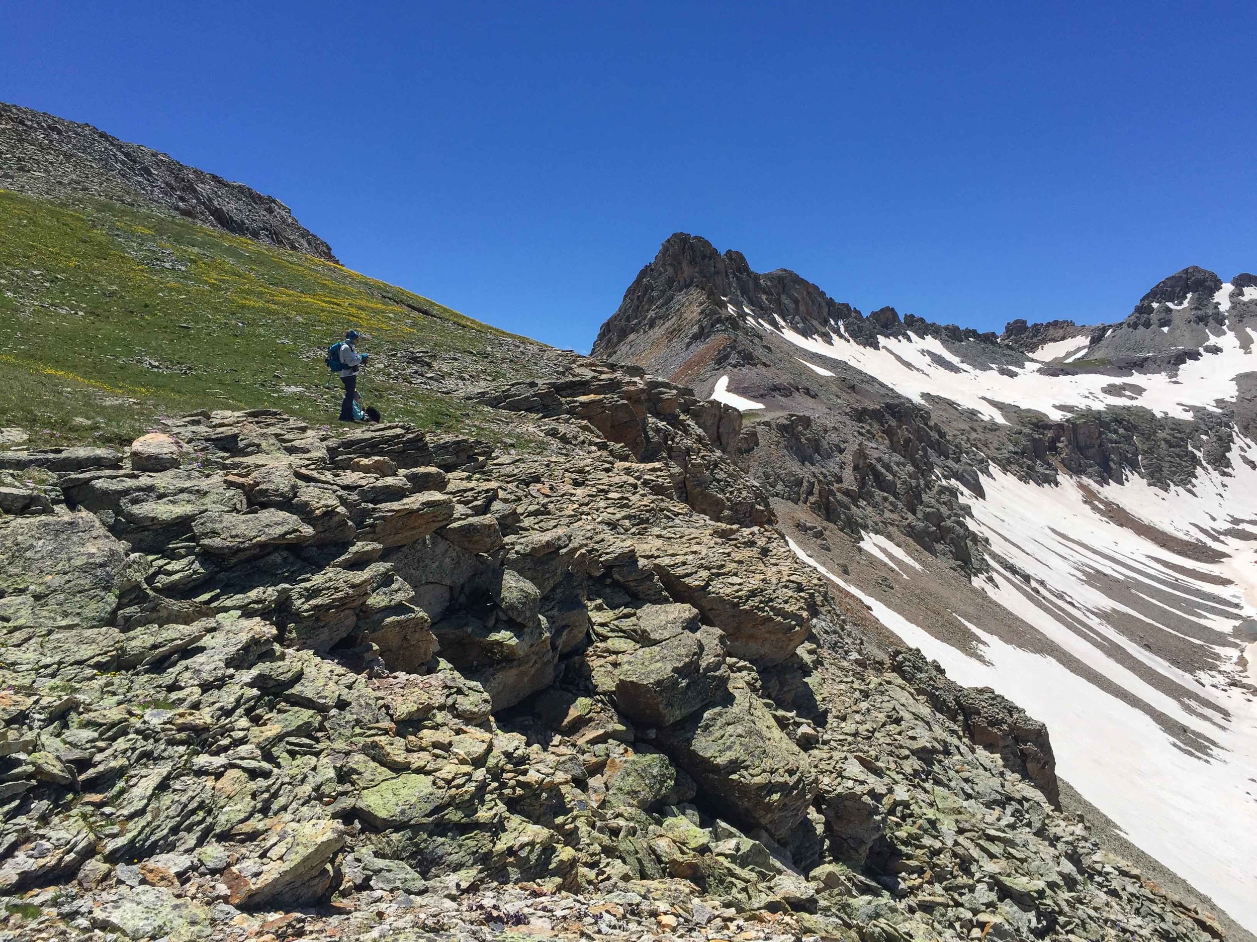
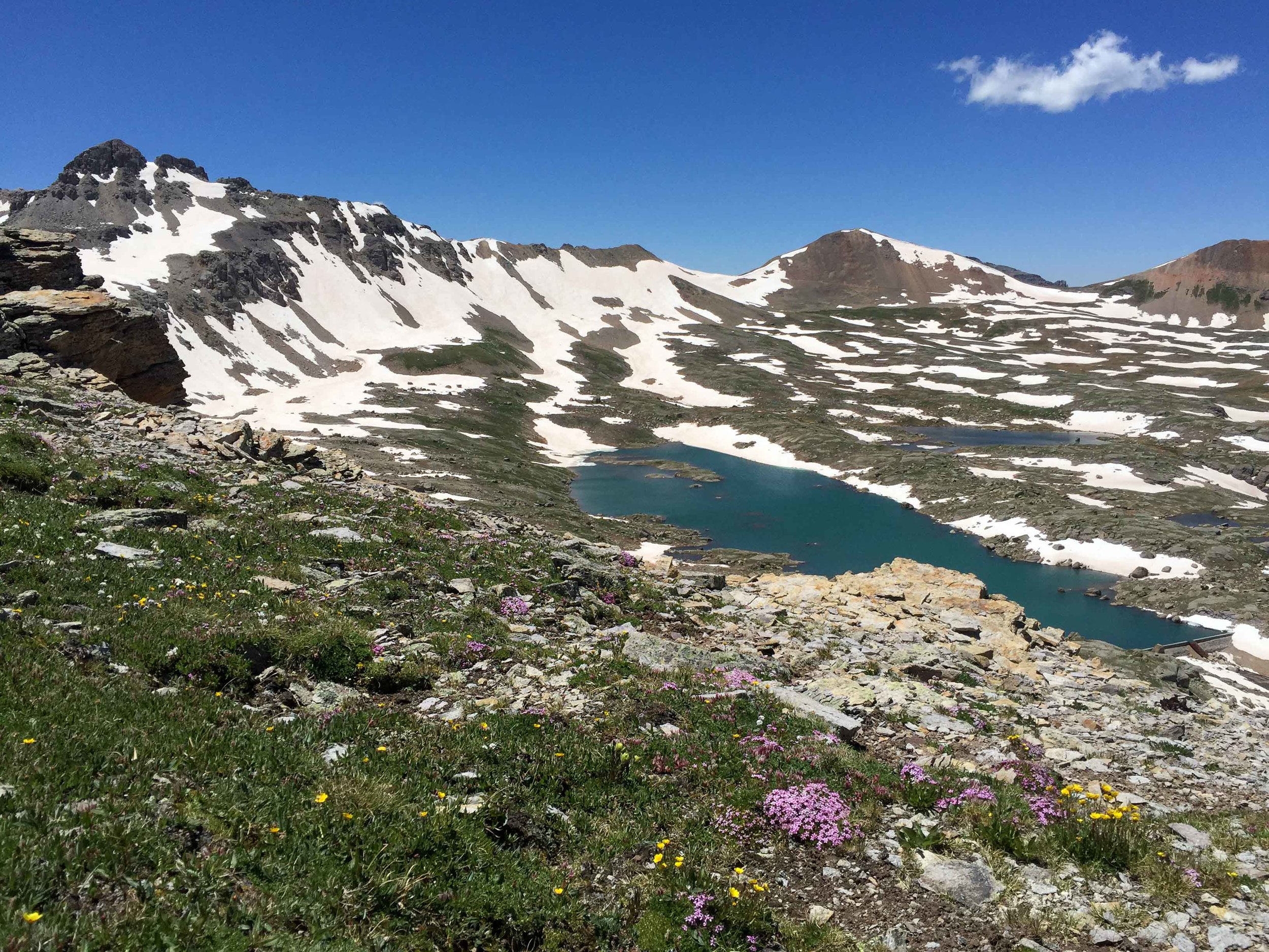
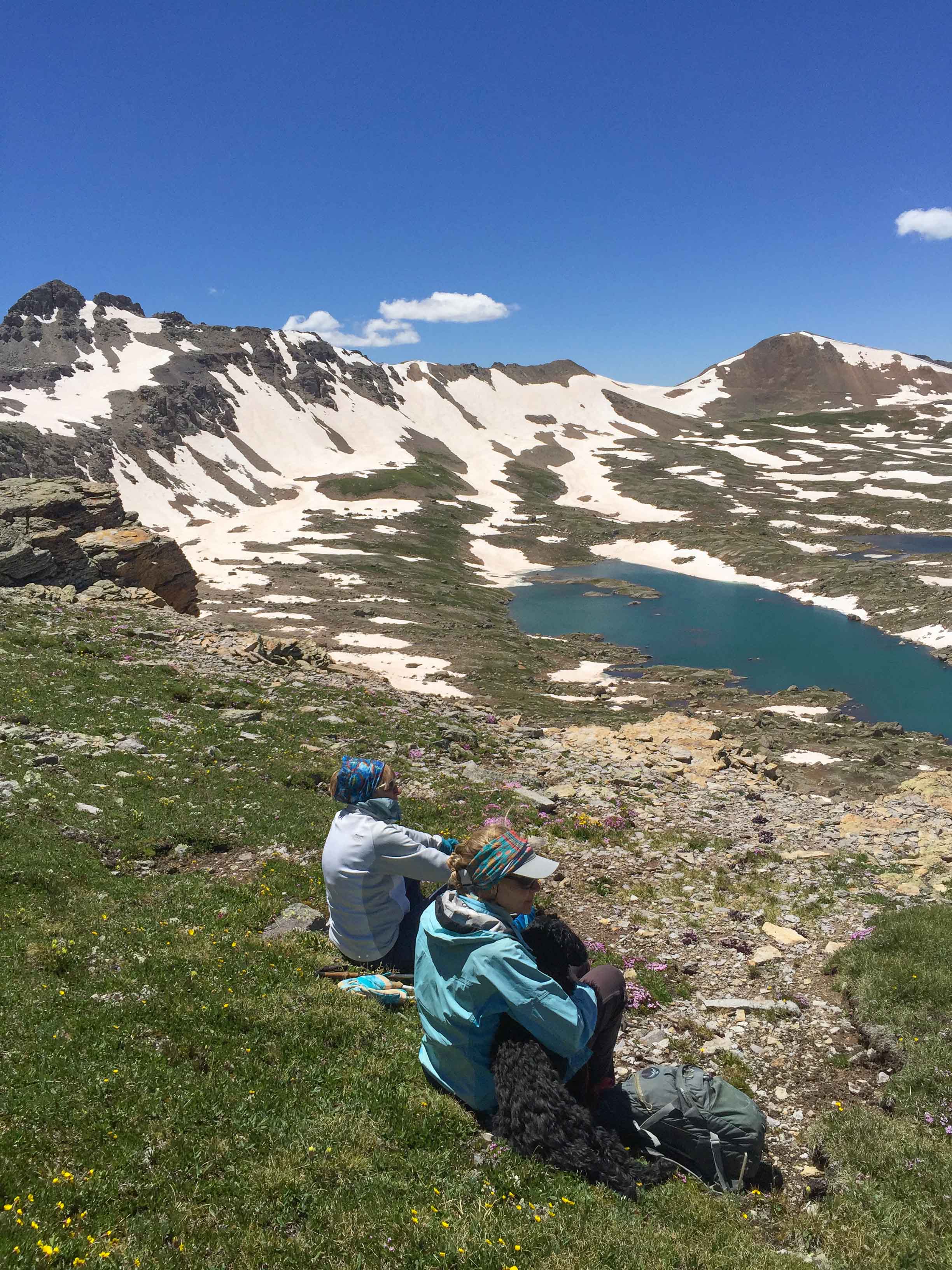
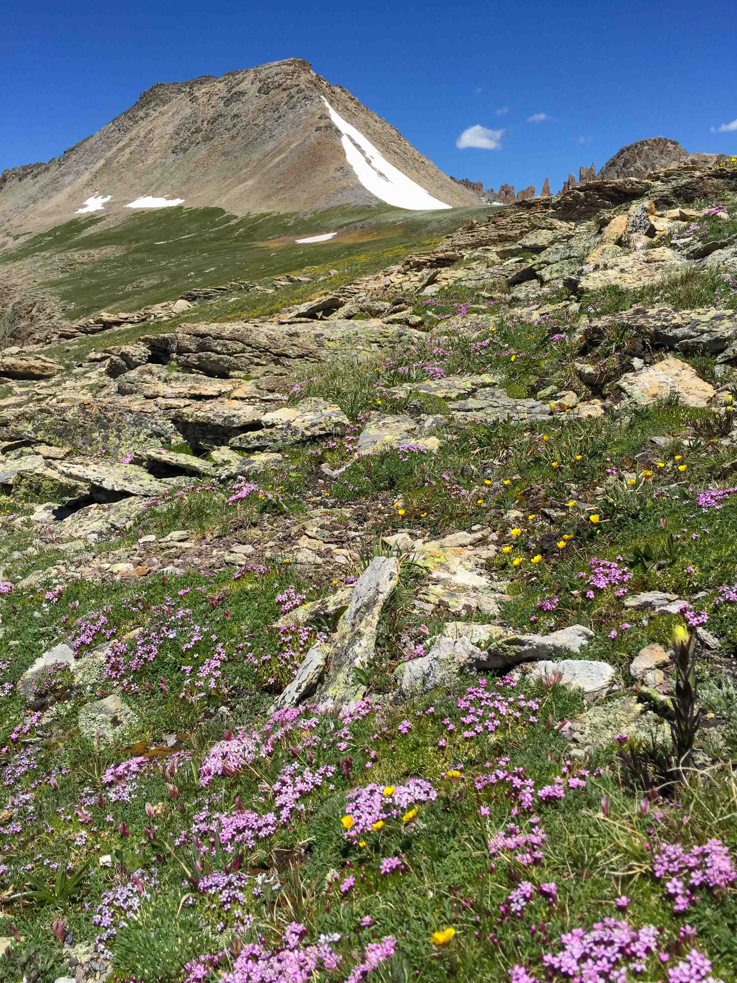
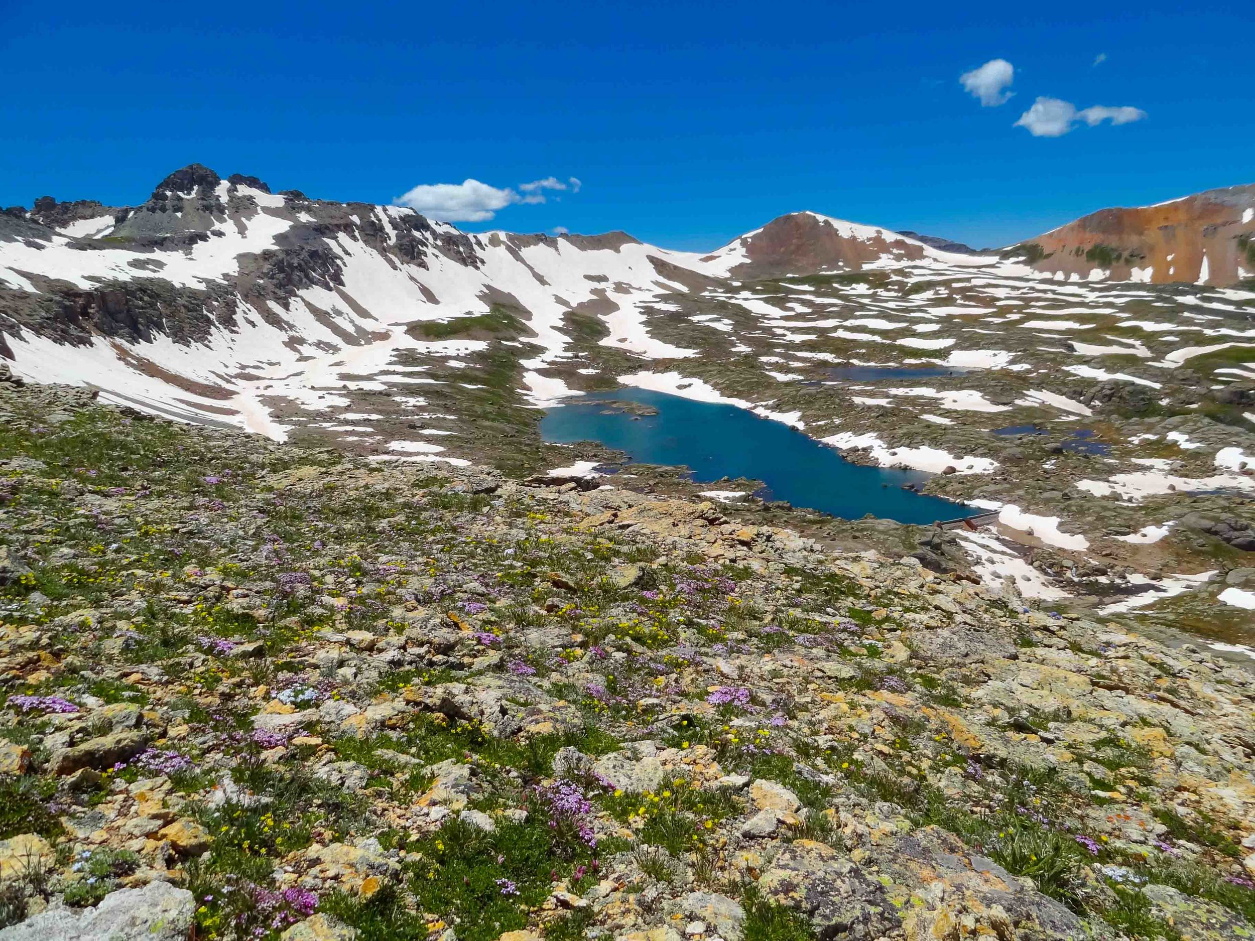
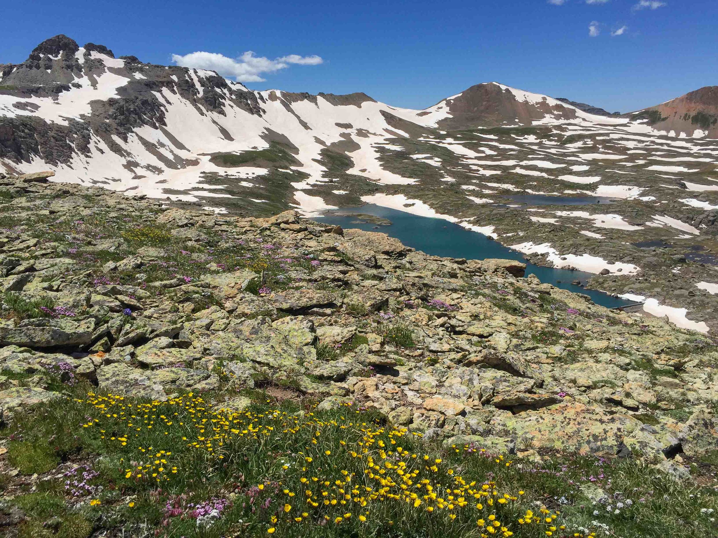
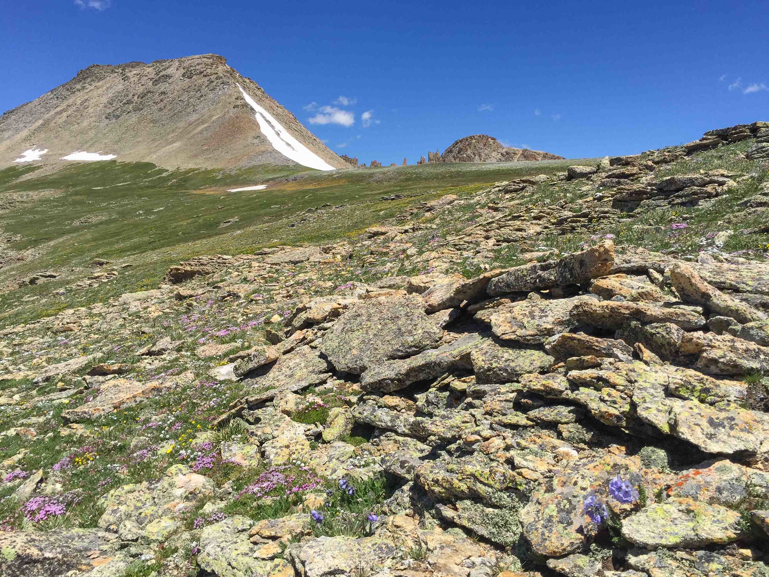
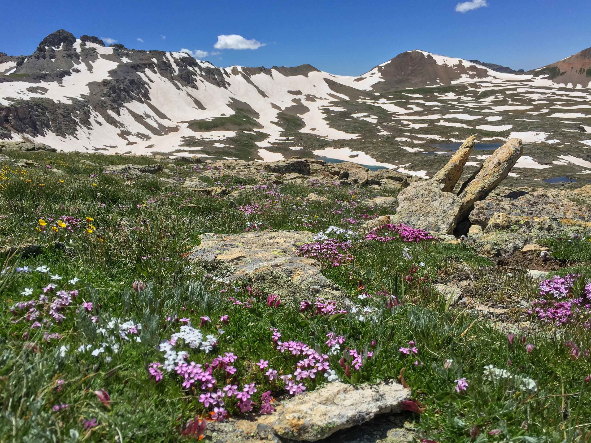
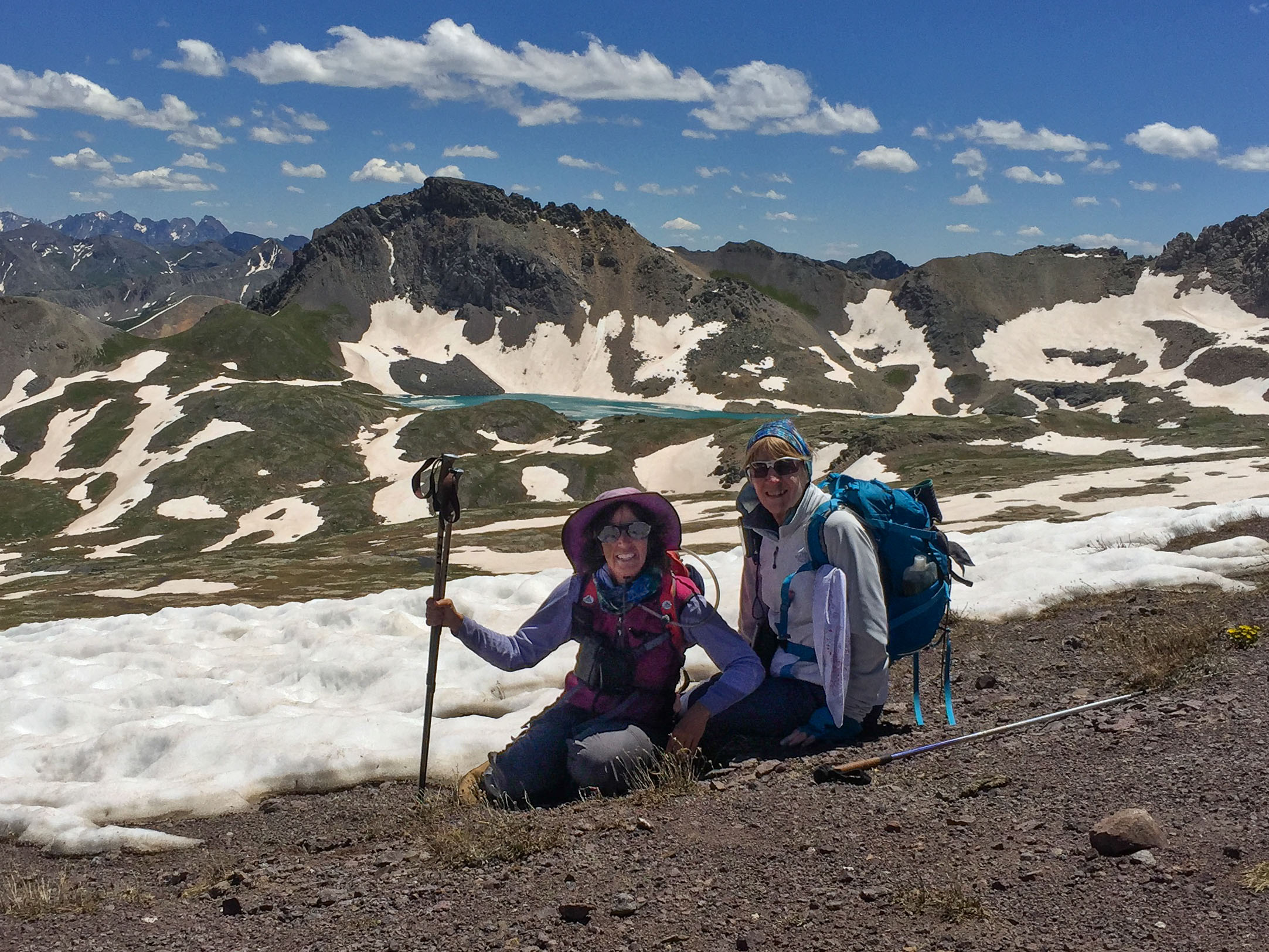
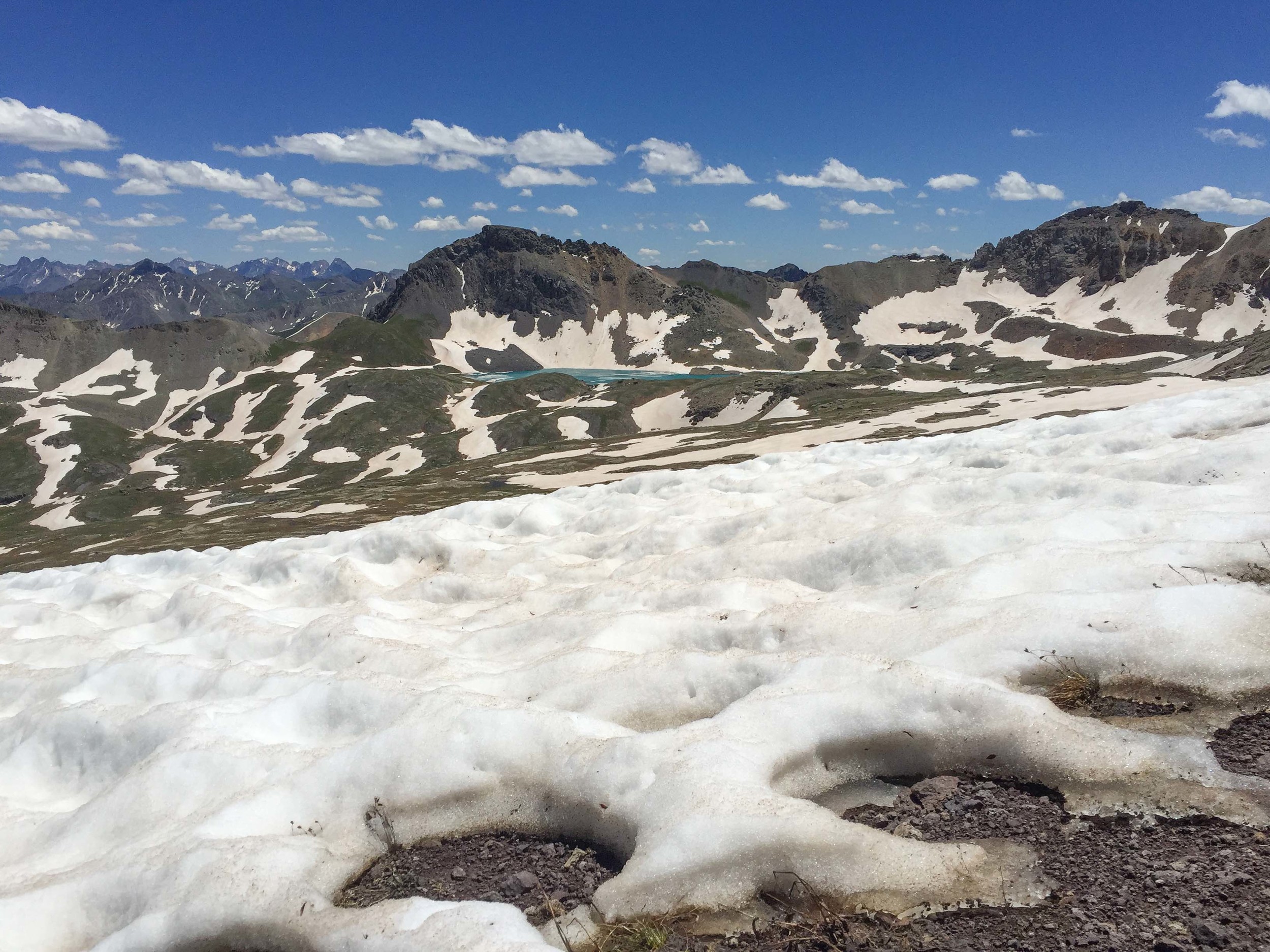
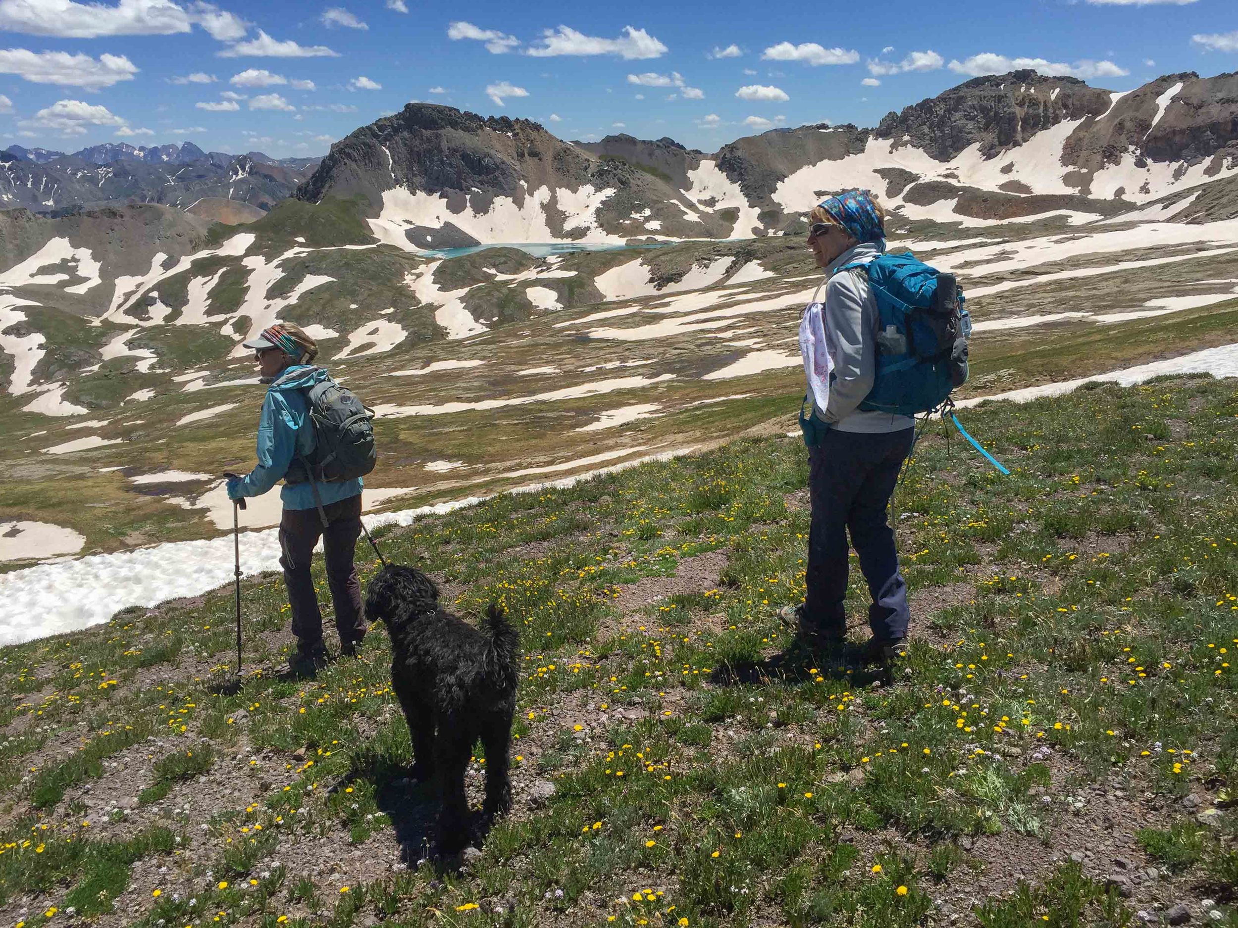
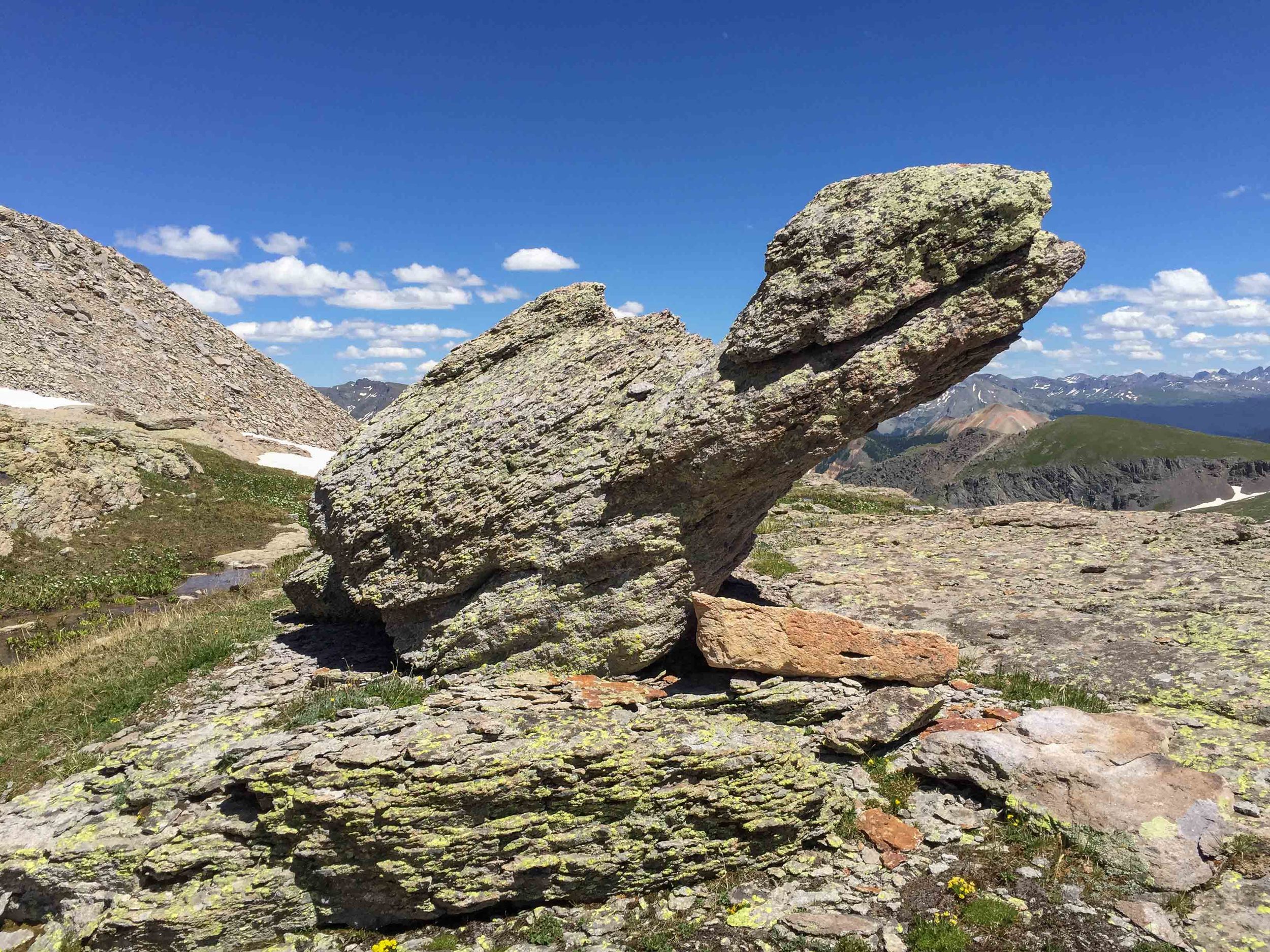
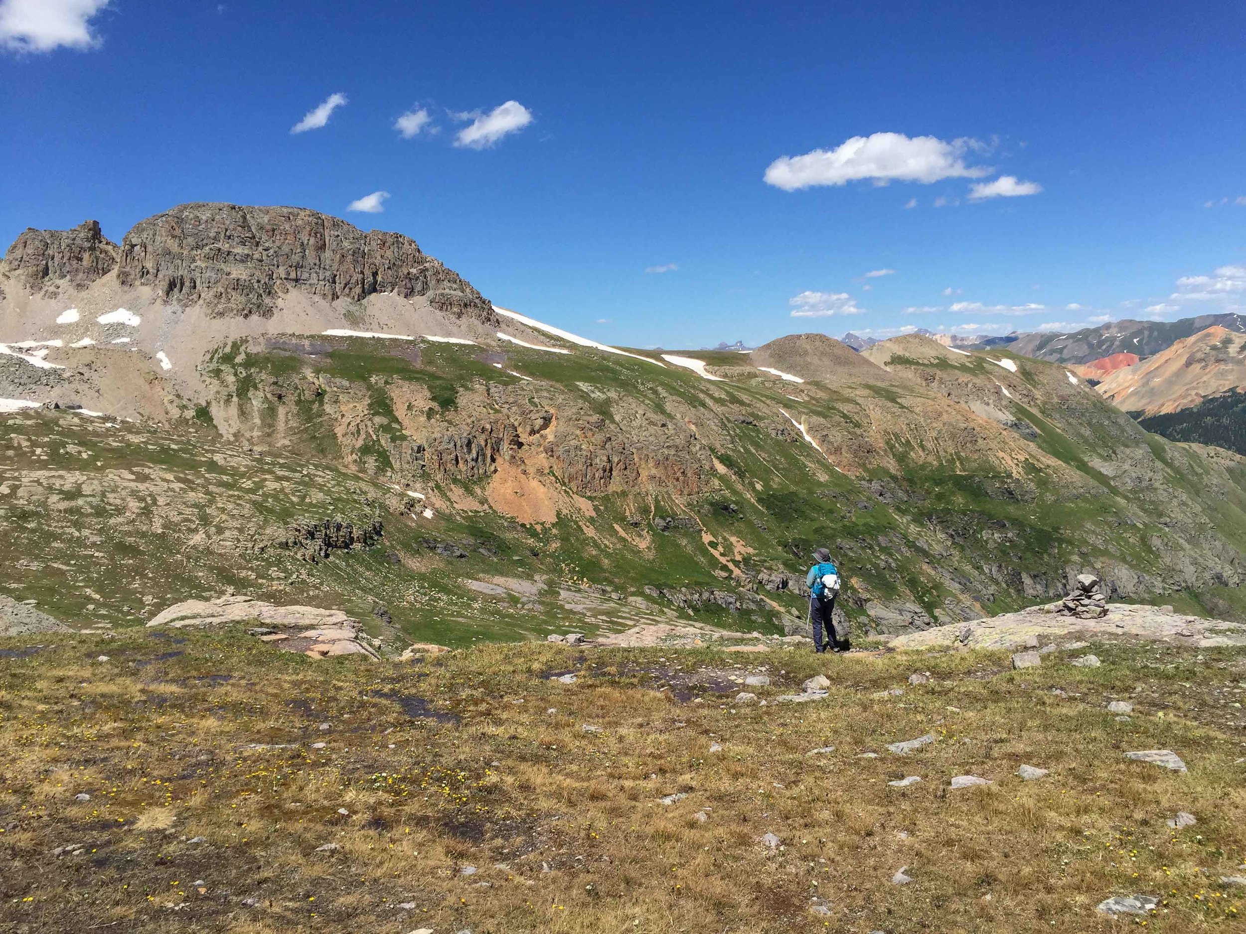
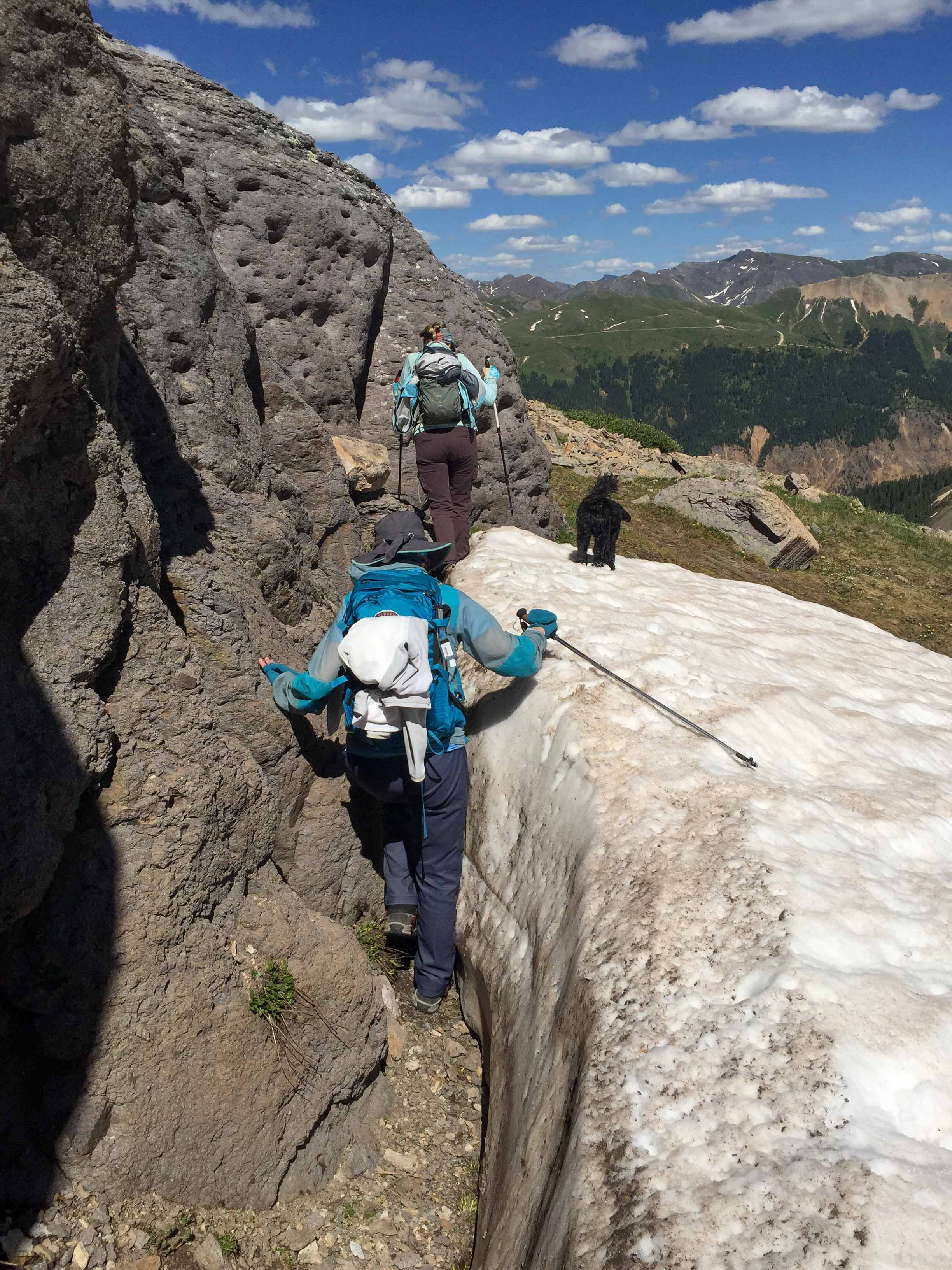
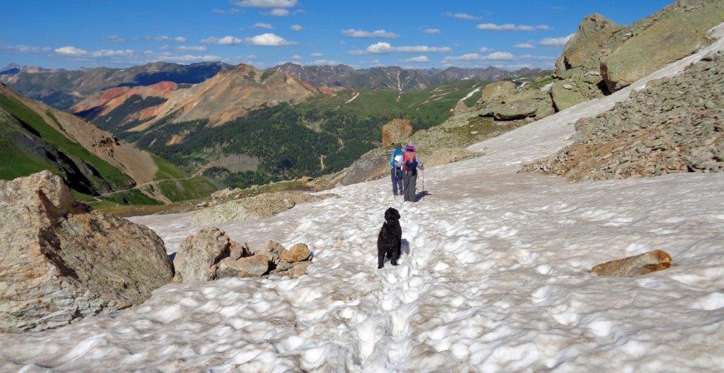
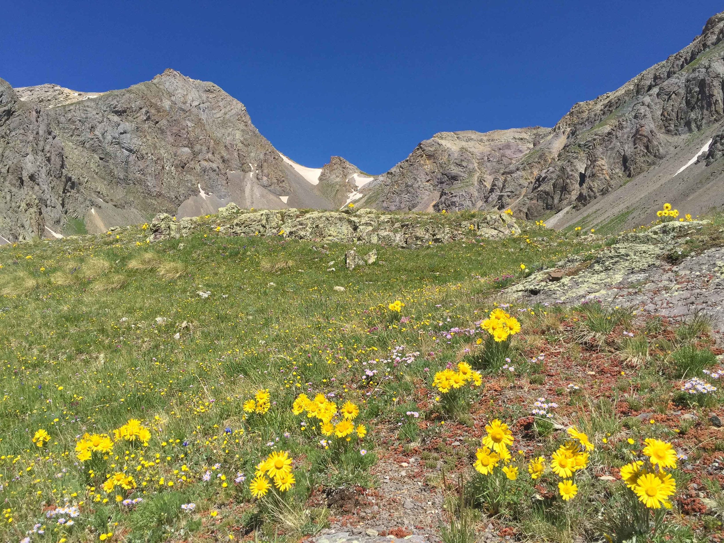
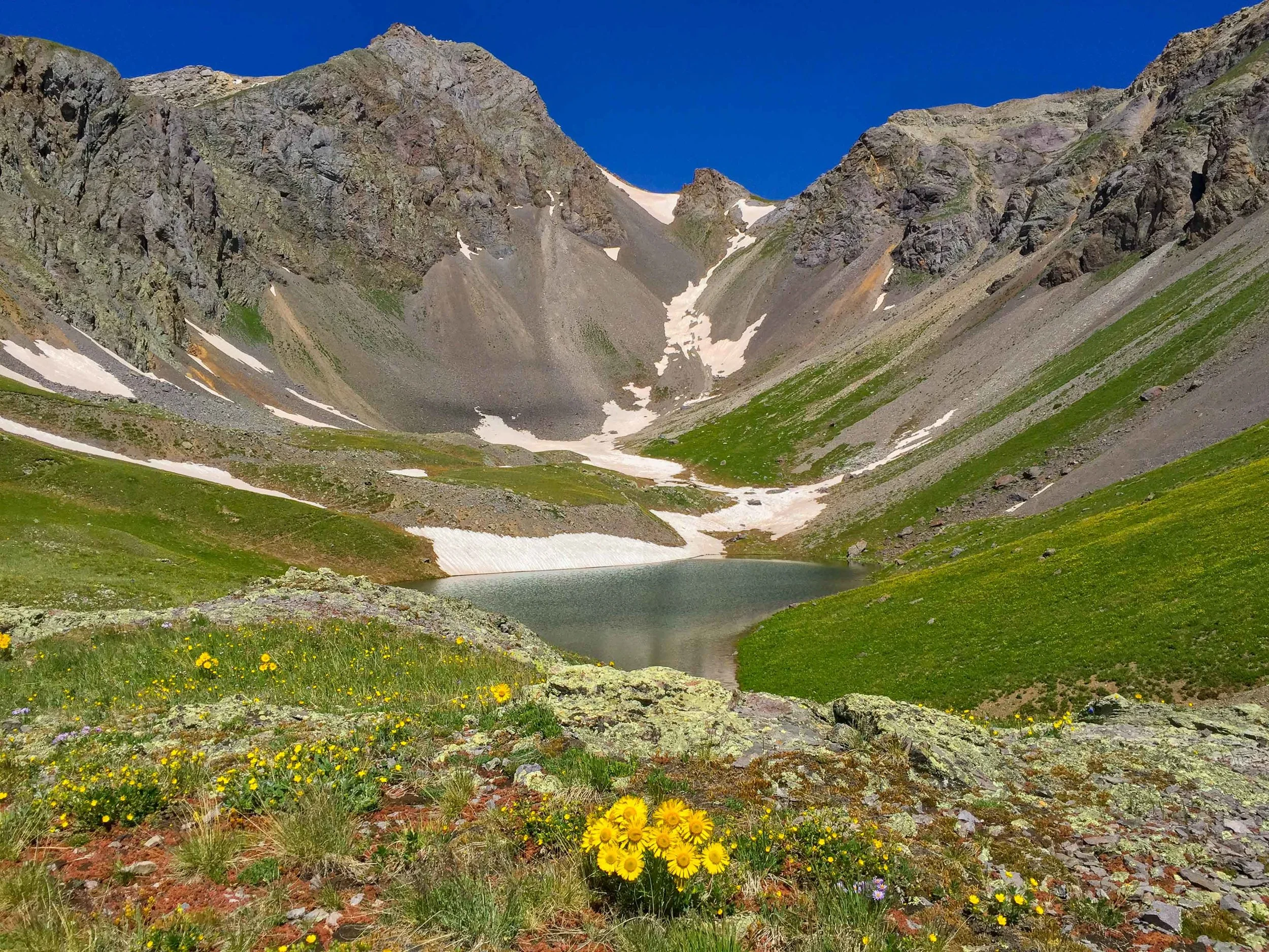
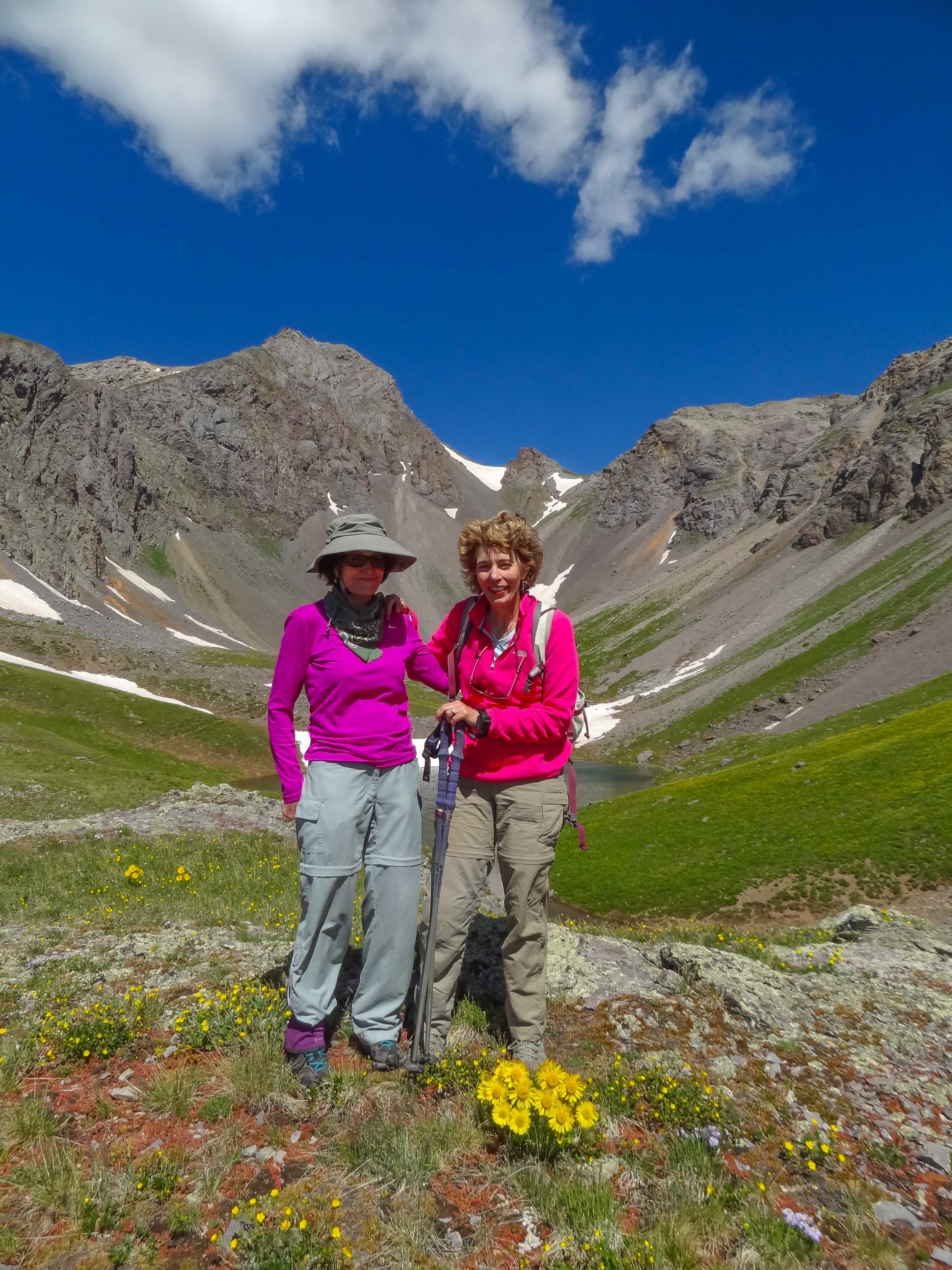
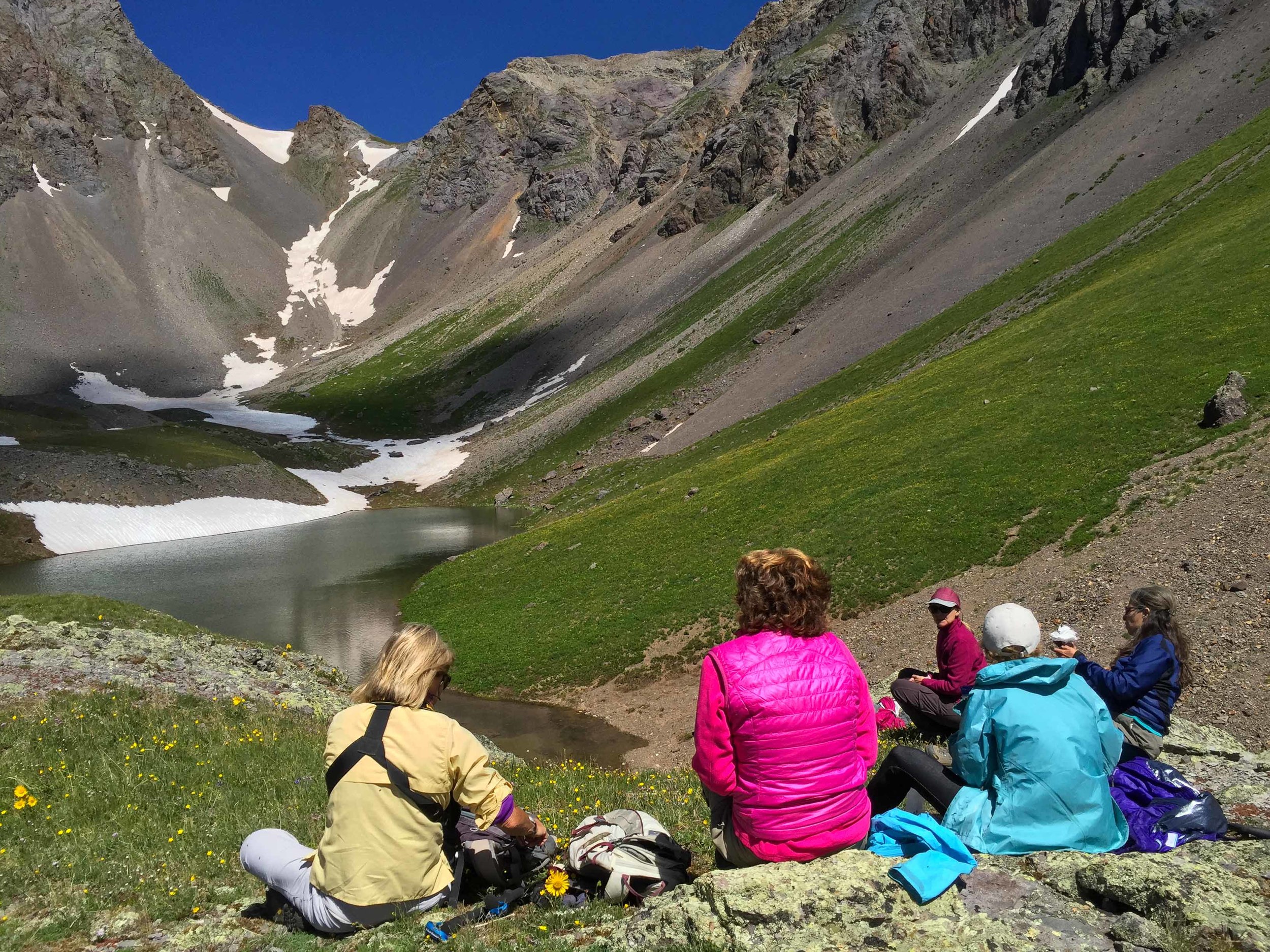
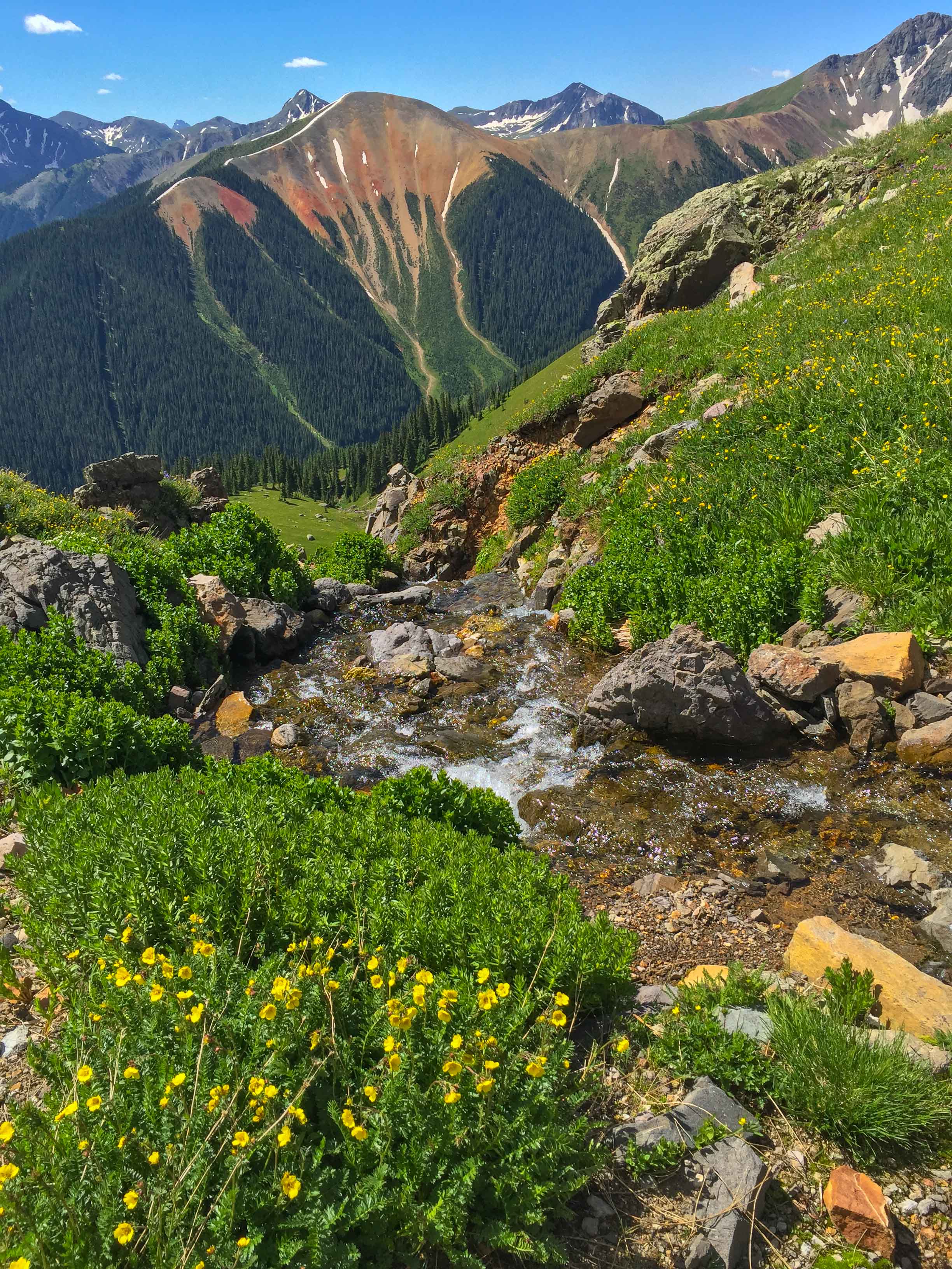
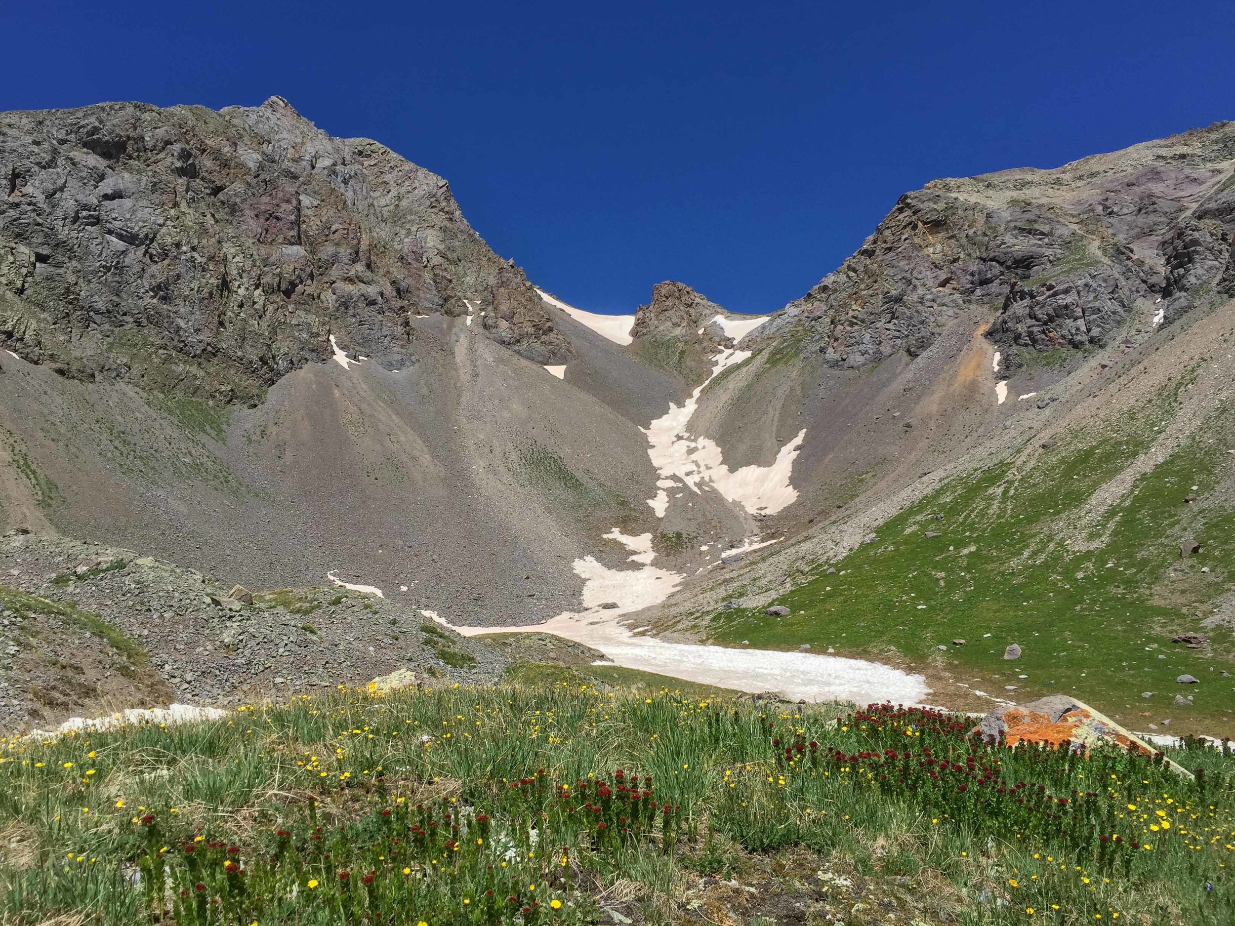
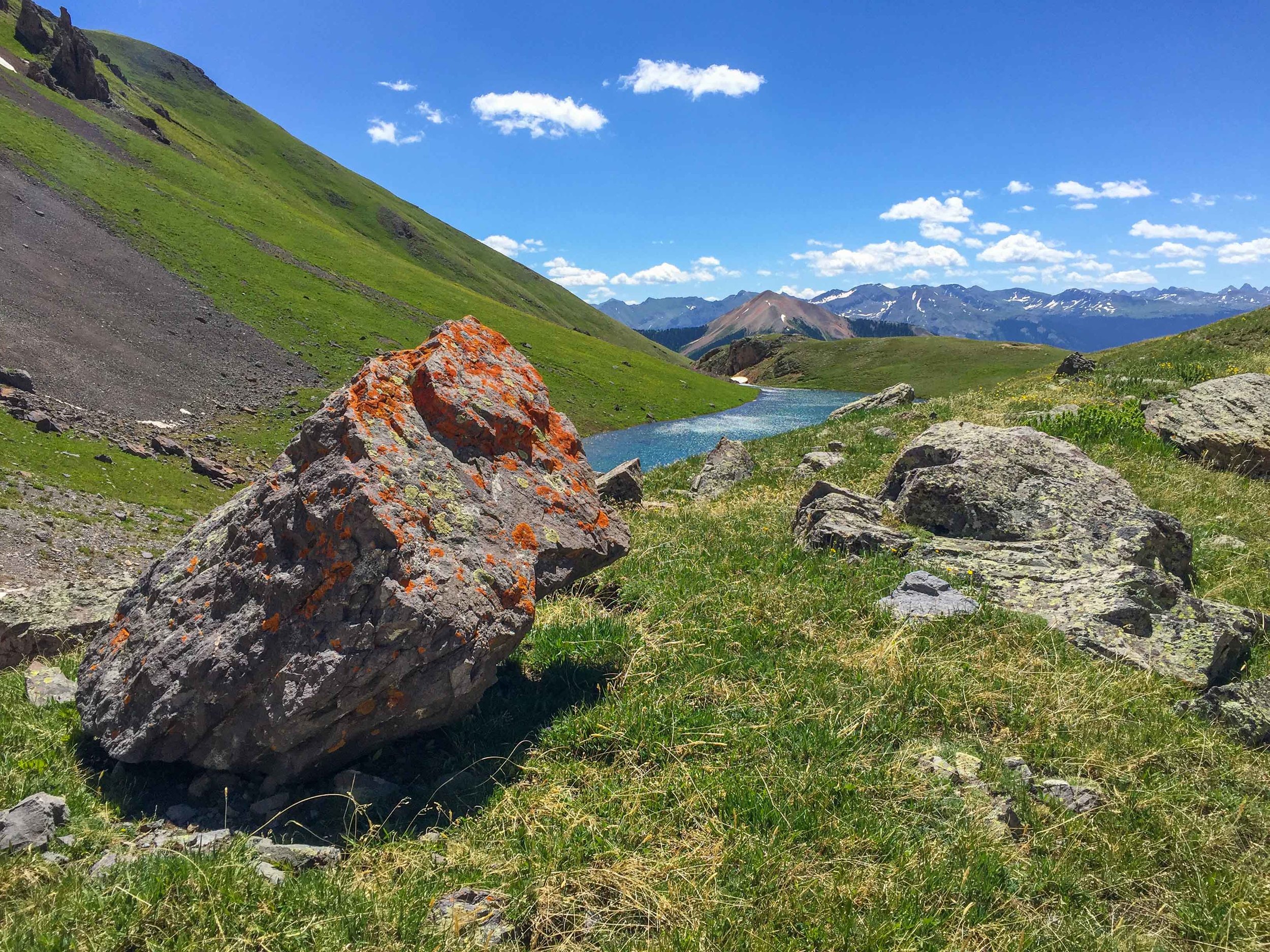
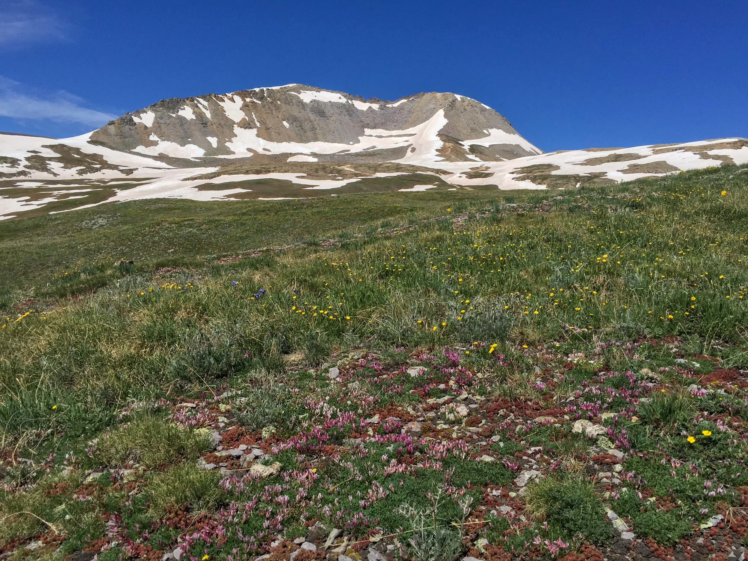
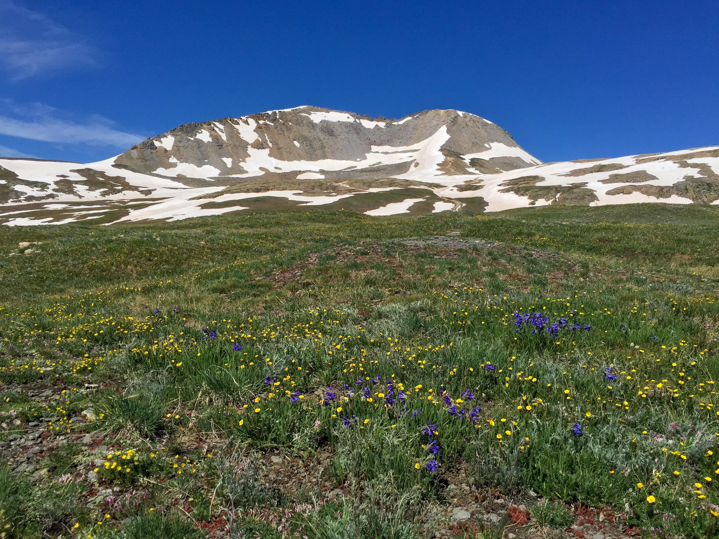
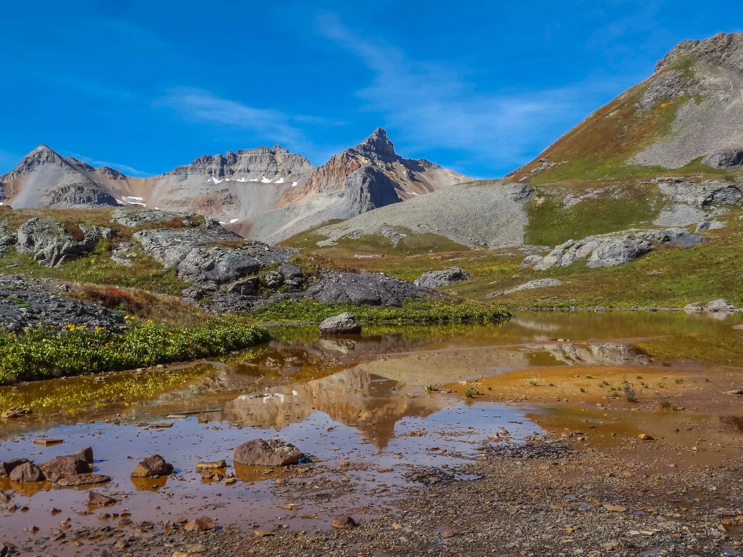
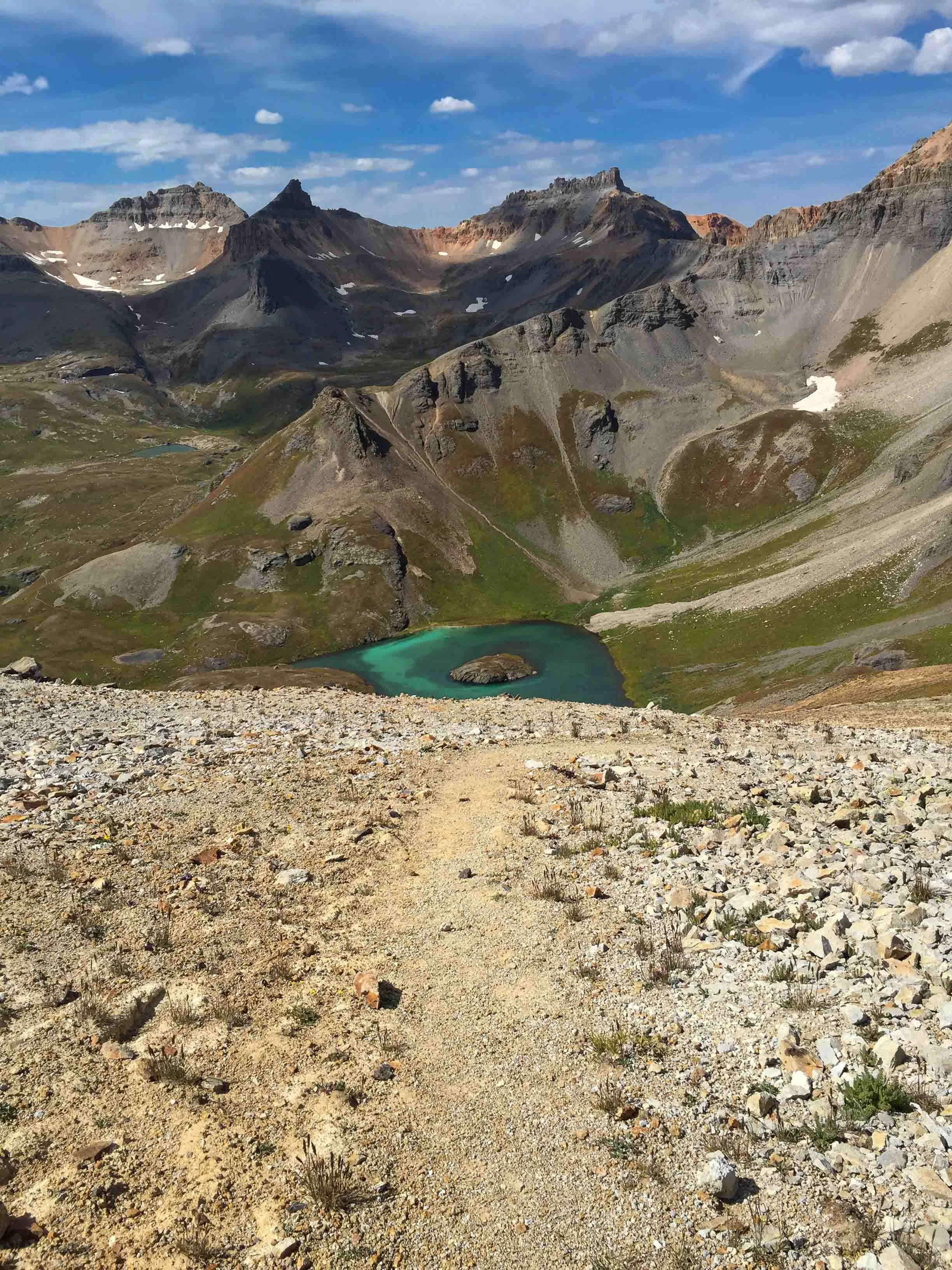
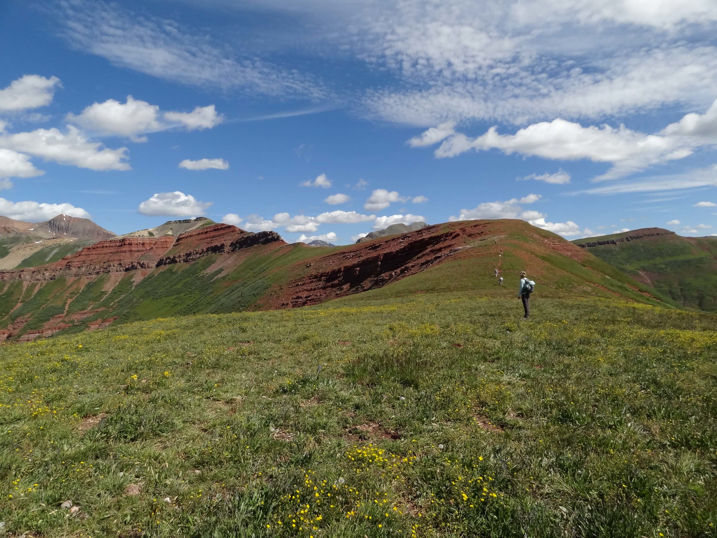
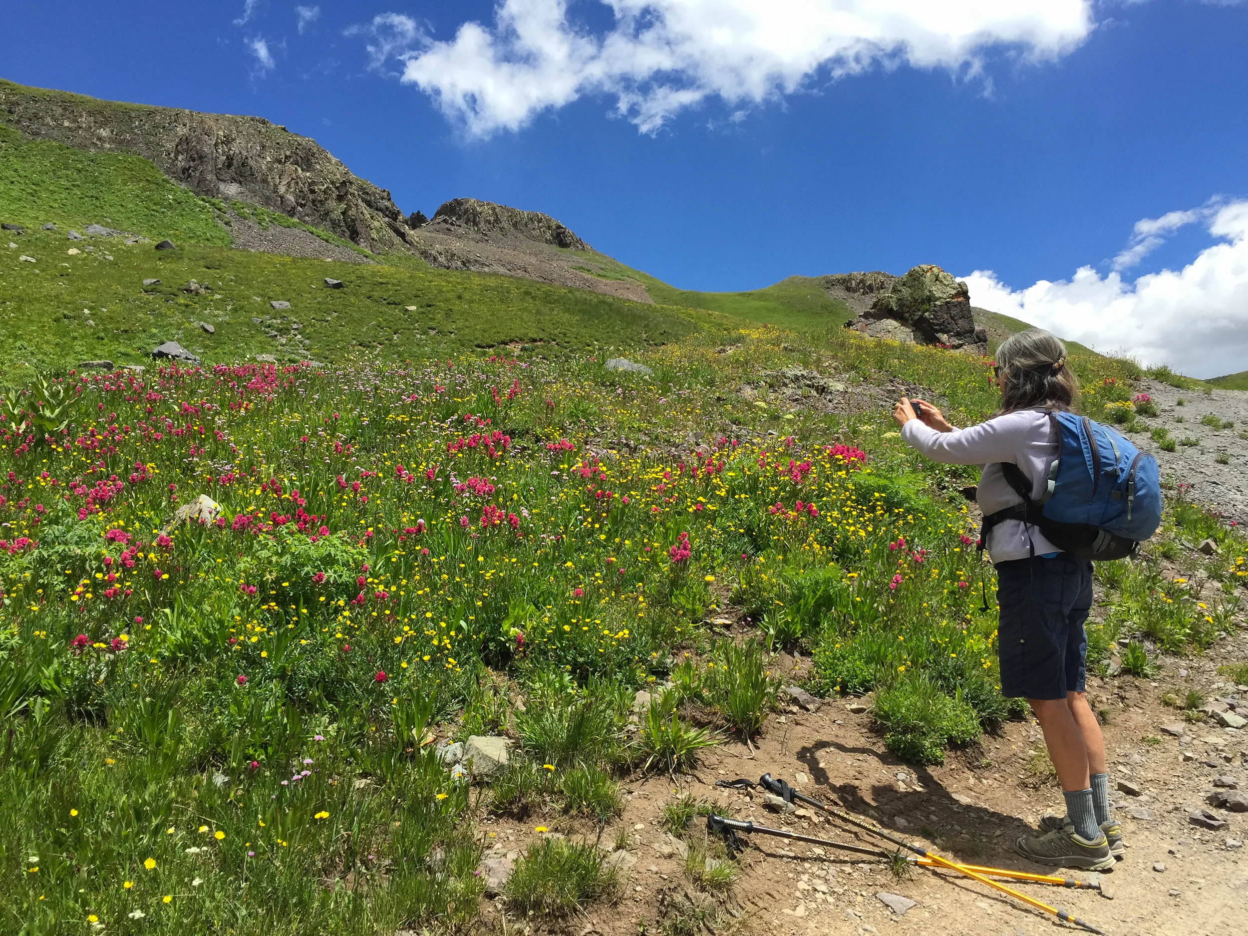
After surviving the first hike from Porphyry to Columbine Pass that I did with Jane Marie and Penny on July 10th, (see post), I decided to return with Zarita with the hopes of less snow and not getting lost. It was a beautiful sunny day and the wildflowers were Amazing near Columbine Pass. This hike is view filled across open tundra and is now my favorite approach to Columbine Lake. Since the weather was great and there weren't any storms brewing we had plenty of time to hike the additional mile from Columbine Pass over to Columbine lake where we did some exploring and photographing before retracing our steps. We met up for a short visit with Tim and Angela on our return.


PASS CREEK TRAIL
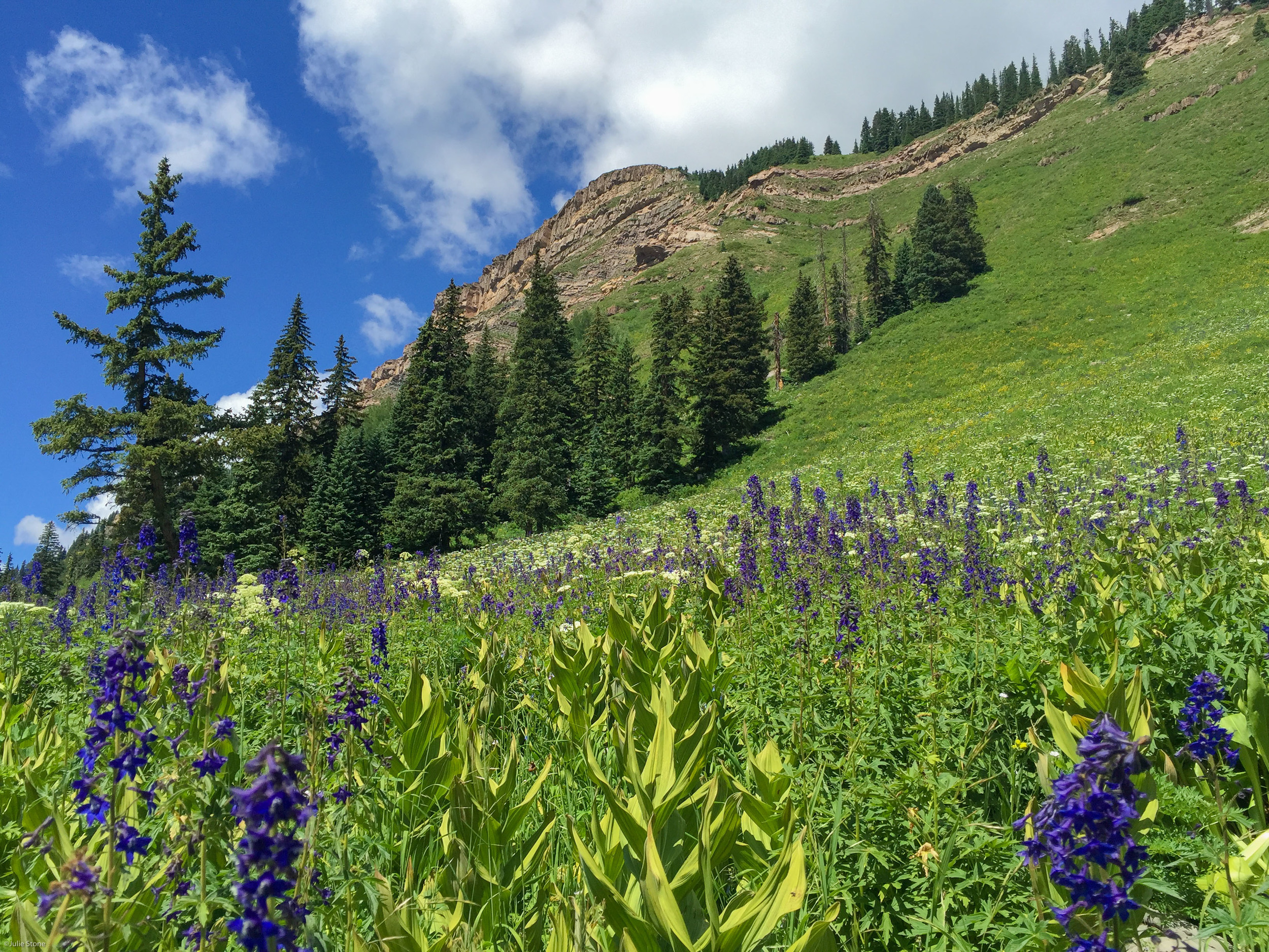
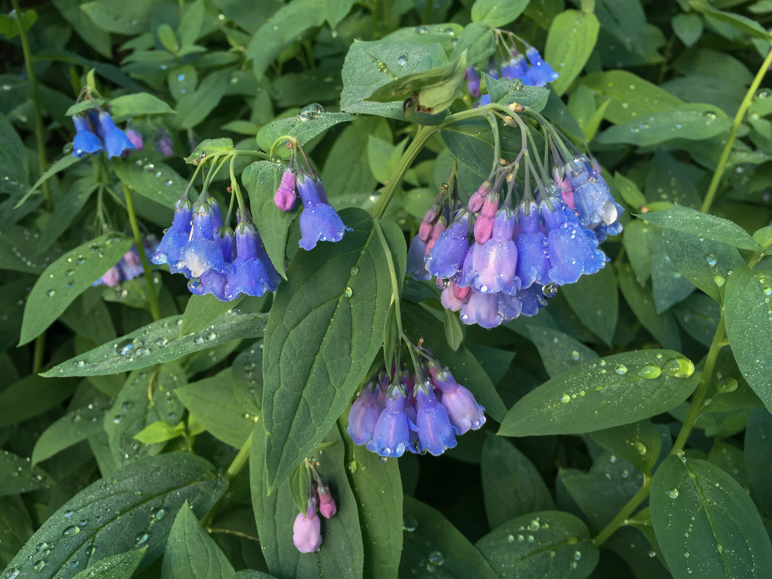
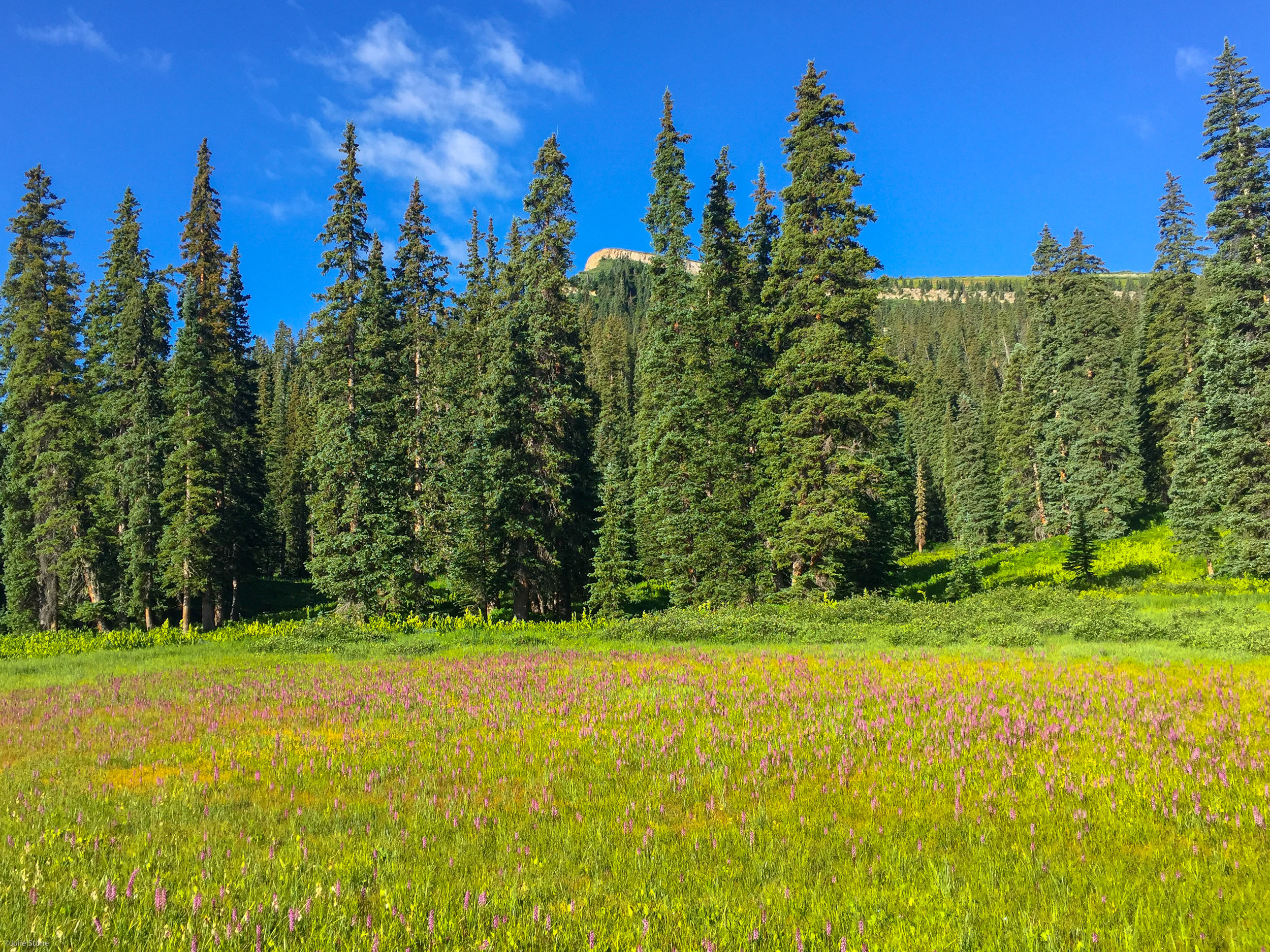
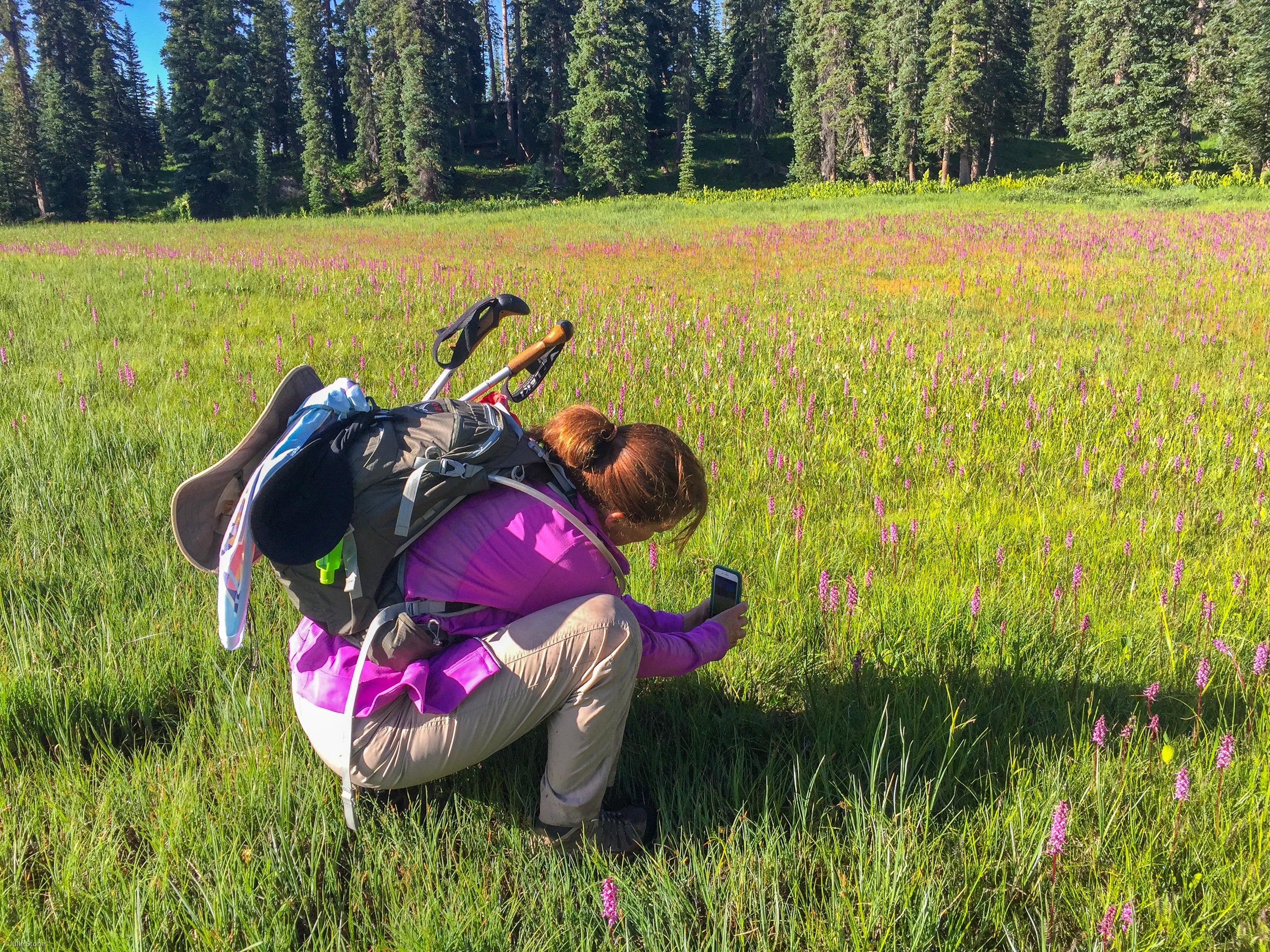
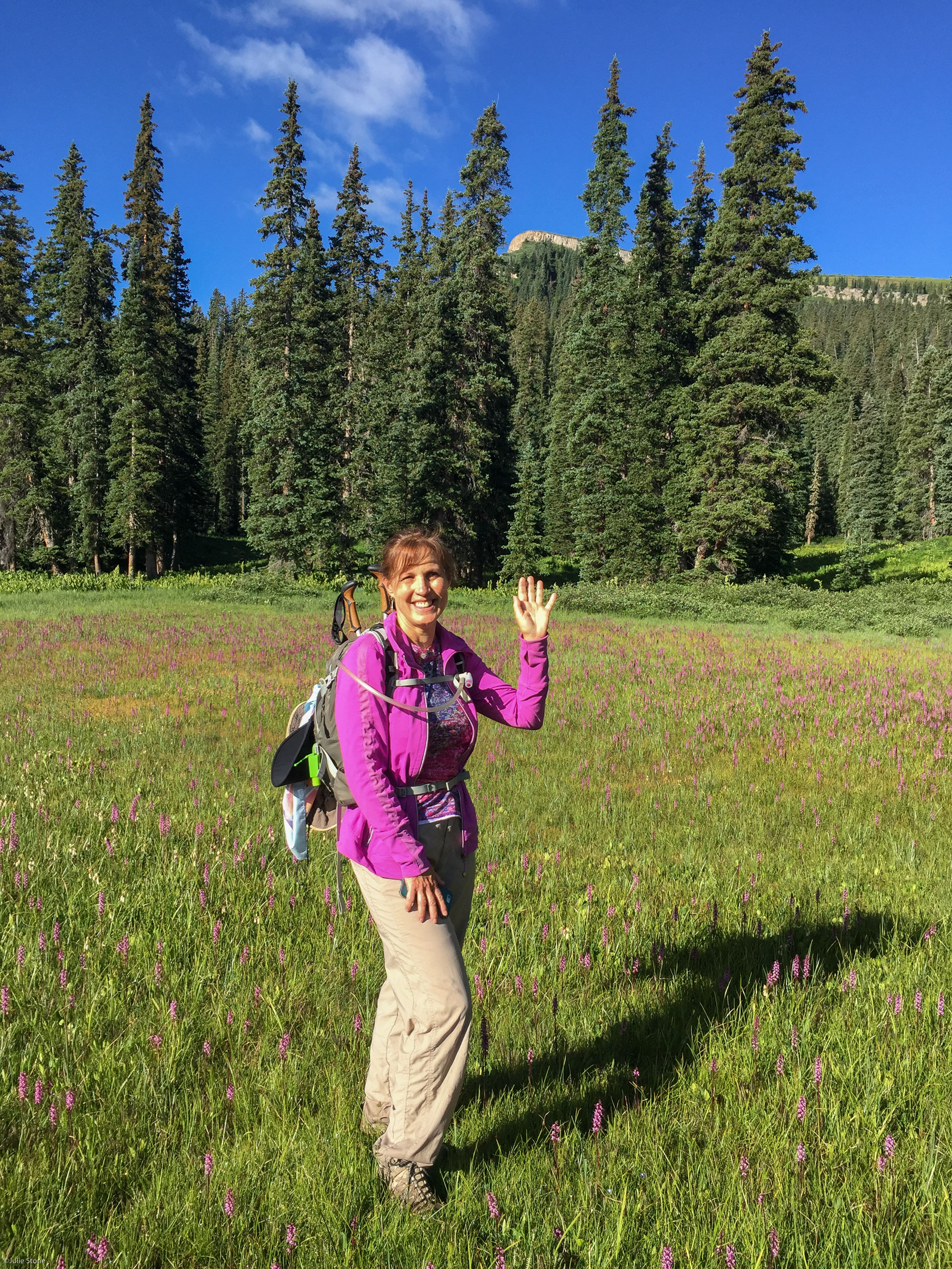
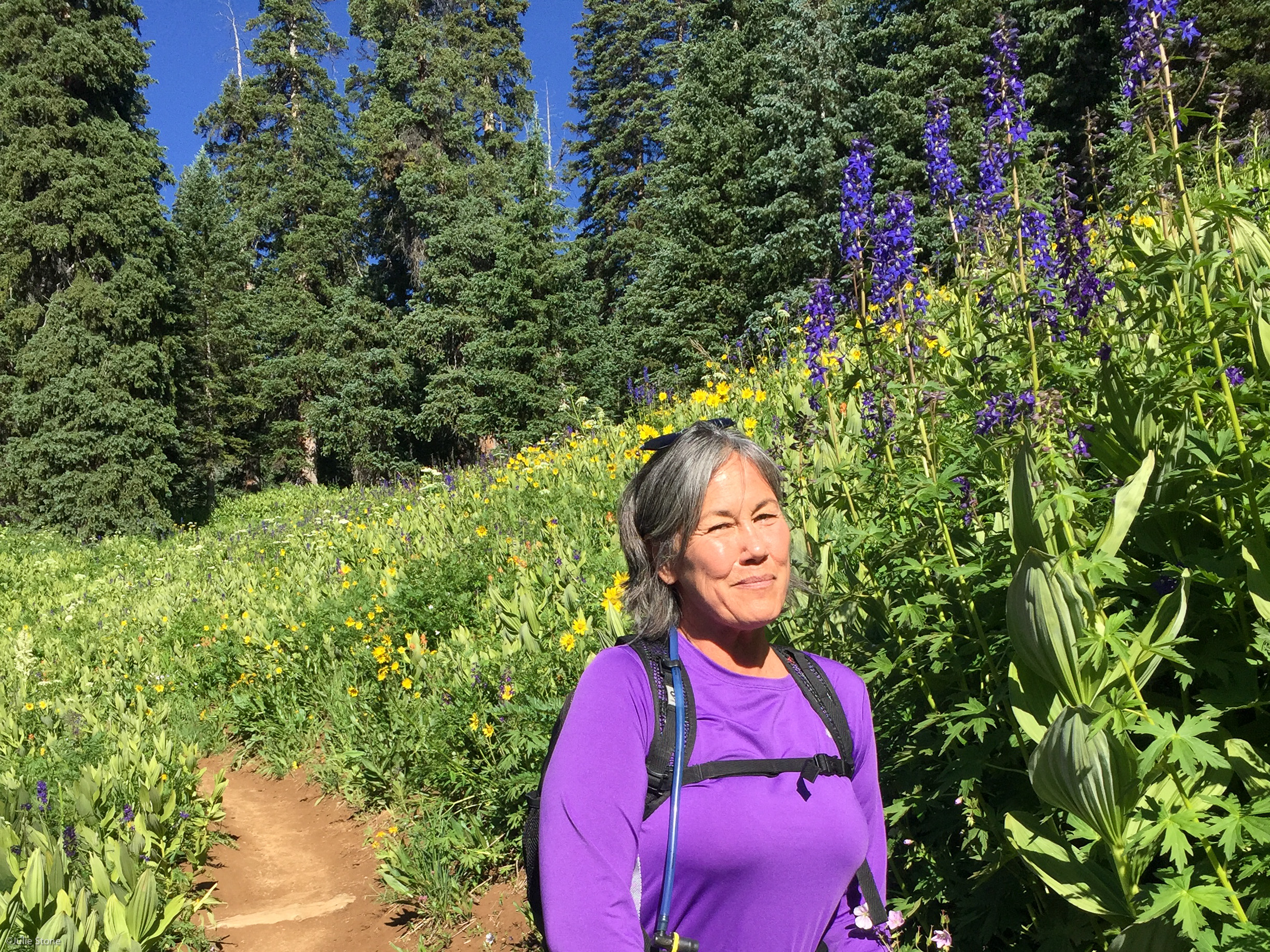
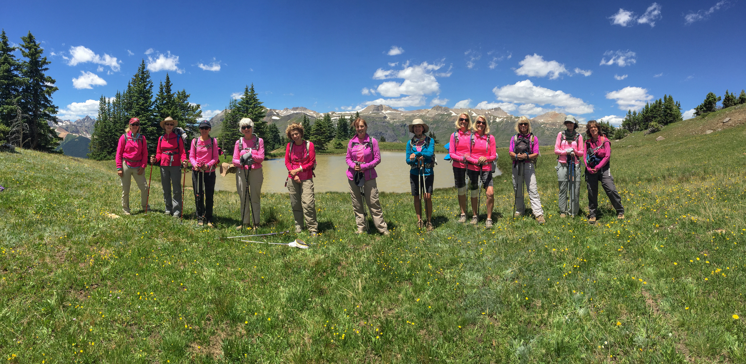
The Moxies enjoyed a wonderful hike up the Pass Creek Trail to the flower filled meadow of Engineer Mountain. The wildflowers were incredible. The Larkspur at the trailhead were 5-6' tall, the bluebells were chiming, the pink elephant flowers were splattered along the small pond and the Old Man of the Mountain was overseeing them all. The only thing missing was our friend Marcie who told me she absolutely loves this trail during wildflower season and was sorry she couldn't join us. So Marcie, we dedicated this hike and ALL the beautiful flowers to you. Angela even found a song for you: Marcie - by Joni Mitchell. You can listen to it on youtube. I hope this post inspires you to get out to smell the wildflowers and start hiking again.

ICE LAKES
Mary Peil was the Moxie leader of the hike to Ice Lake. There were two options available: a loop hike from Island to Ice Lake and an out and back to Fuller Lake with a stop at Ice Lake. The group started out together approaching from cheater falls. There were several water crossings and narrow trails with some exposure depending the on the route. The group met at Ice Lake for a quick snack stop before descending back down the trail. It was a beautiful blue bird day and the wildflowers were abundant on the hillsides.
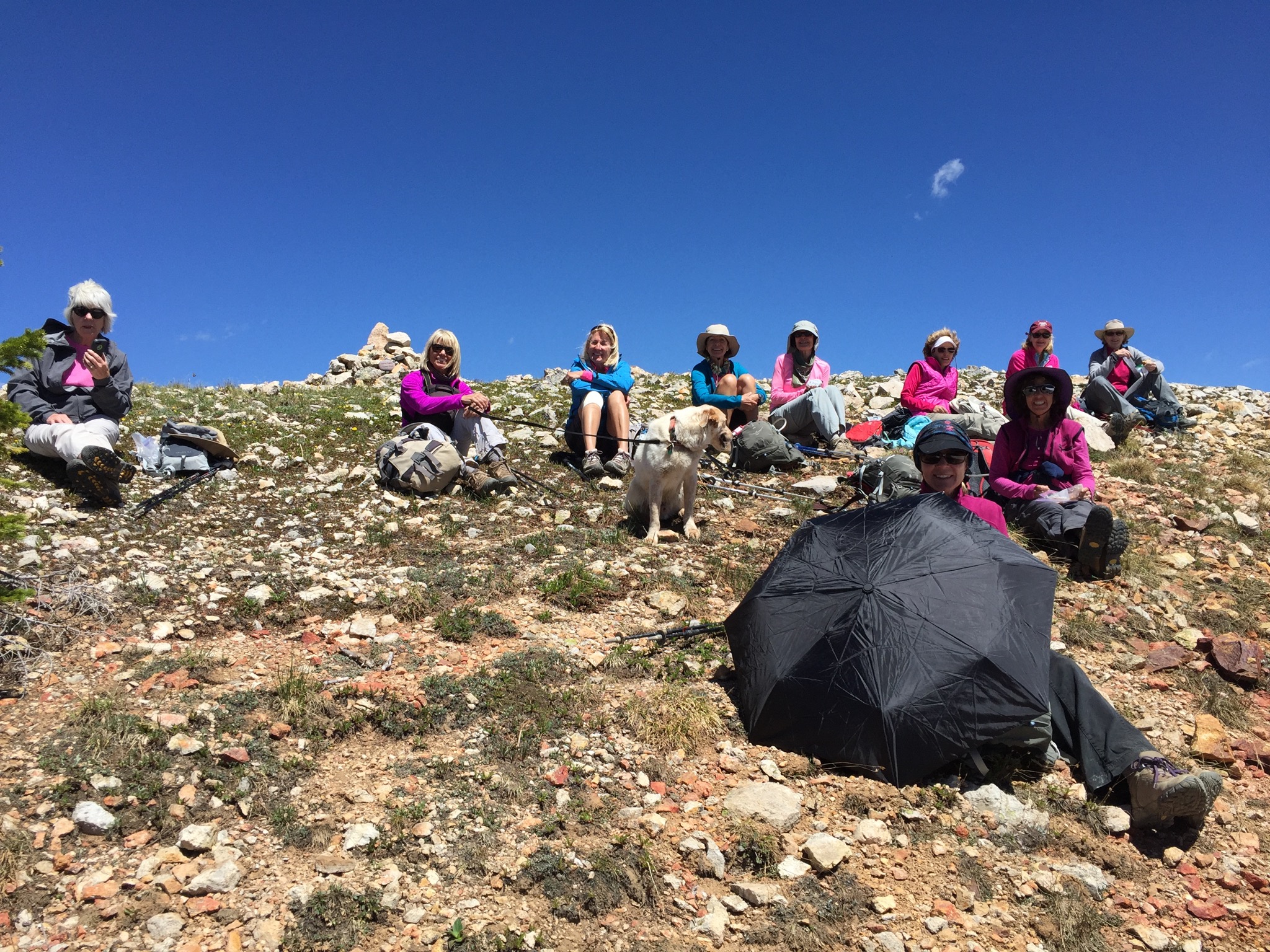
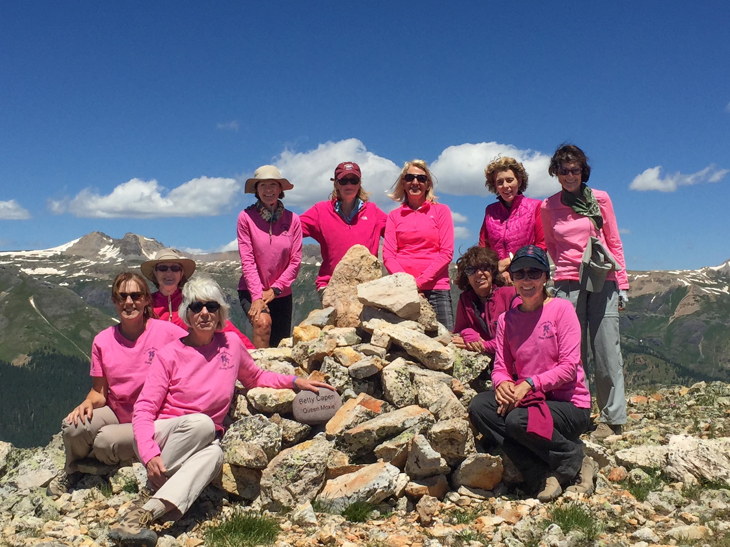
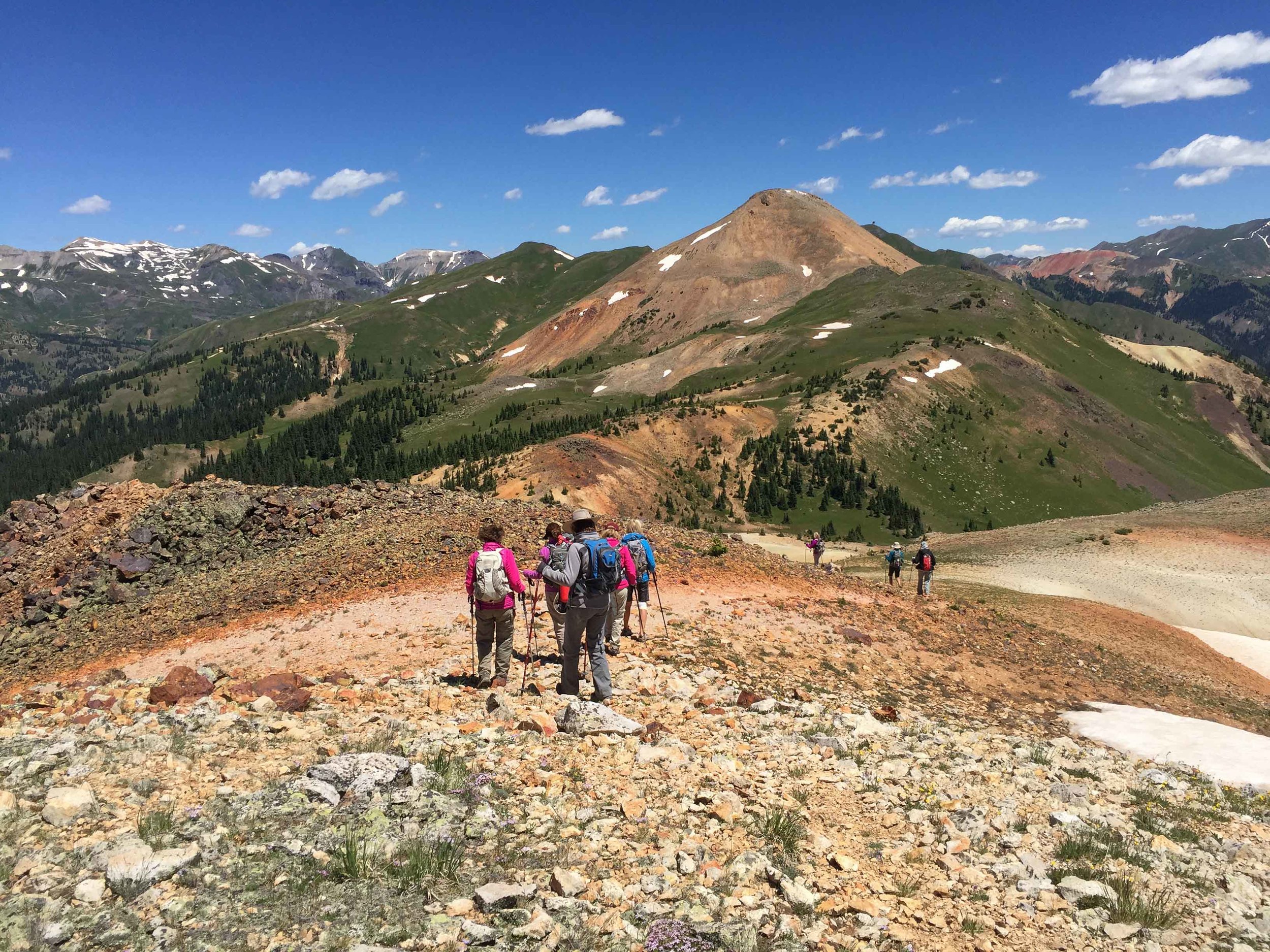
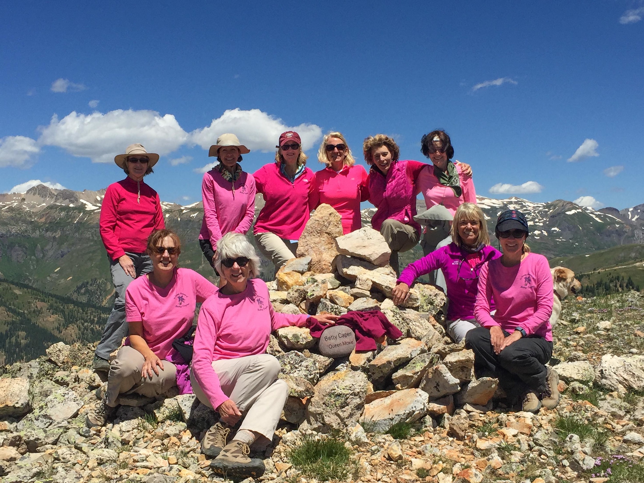
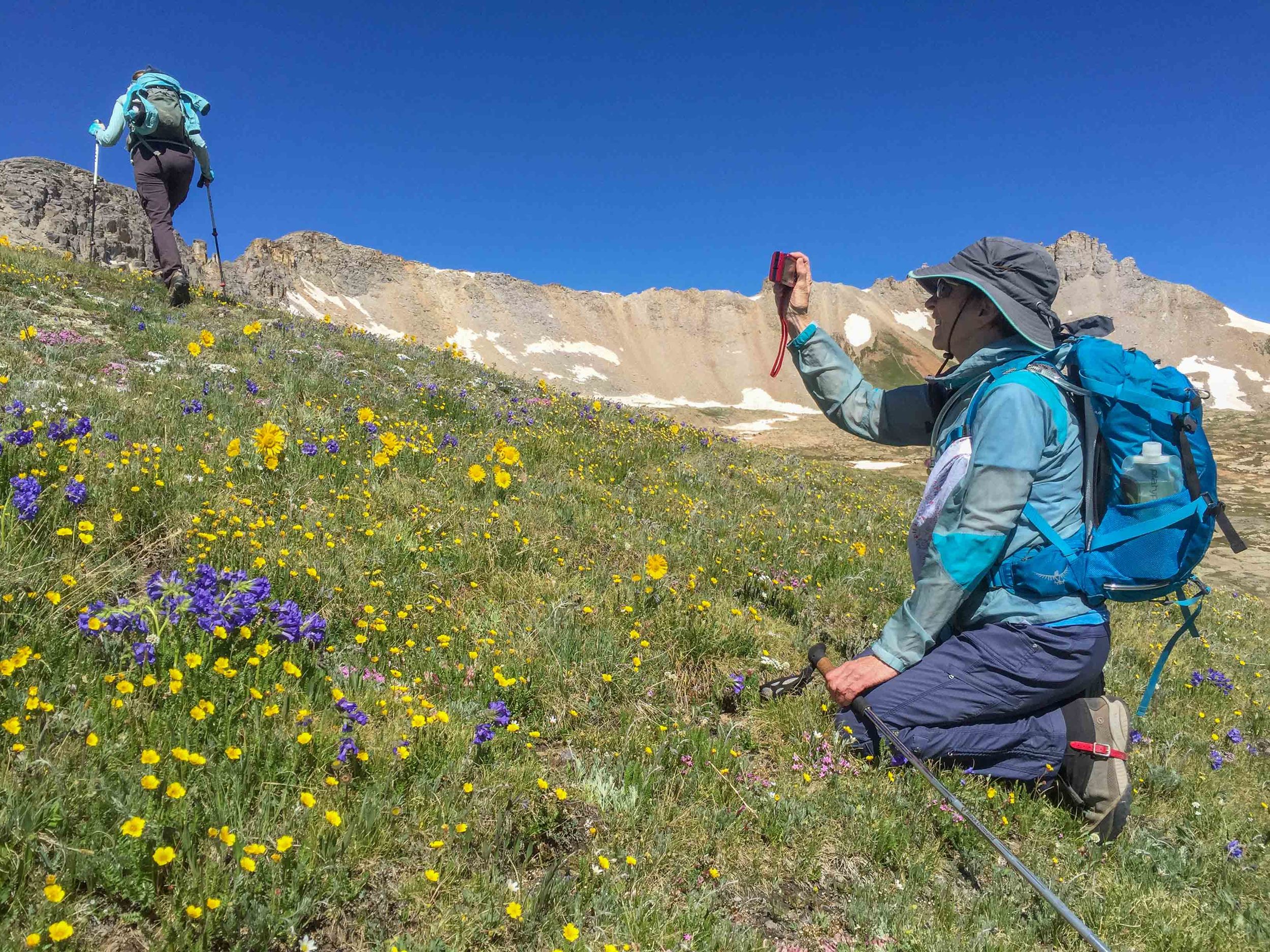
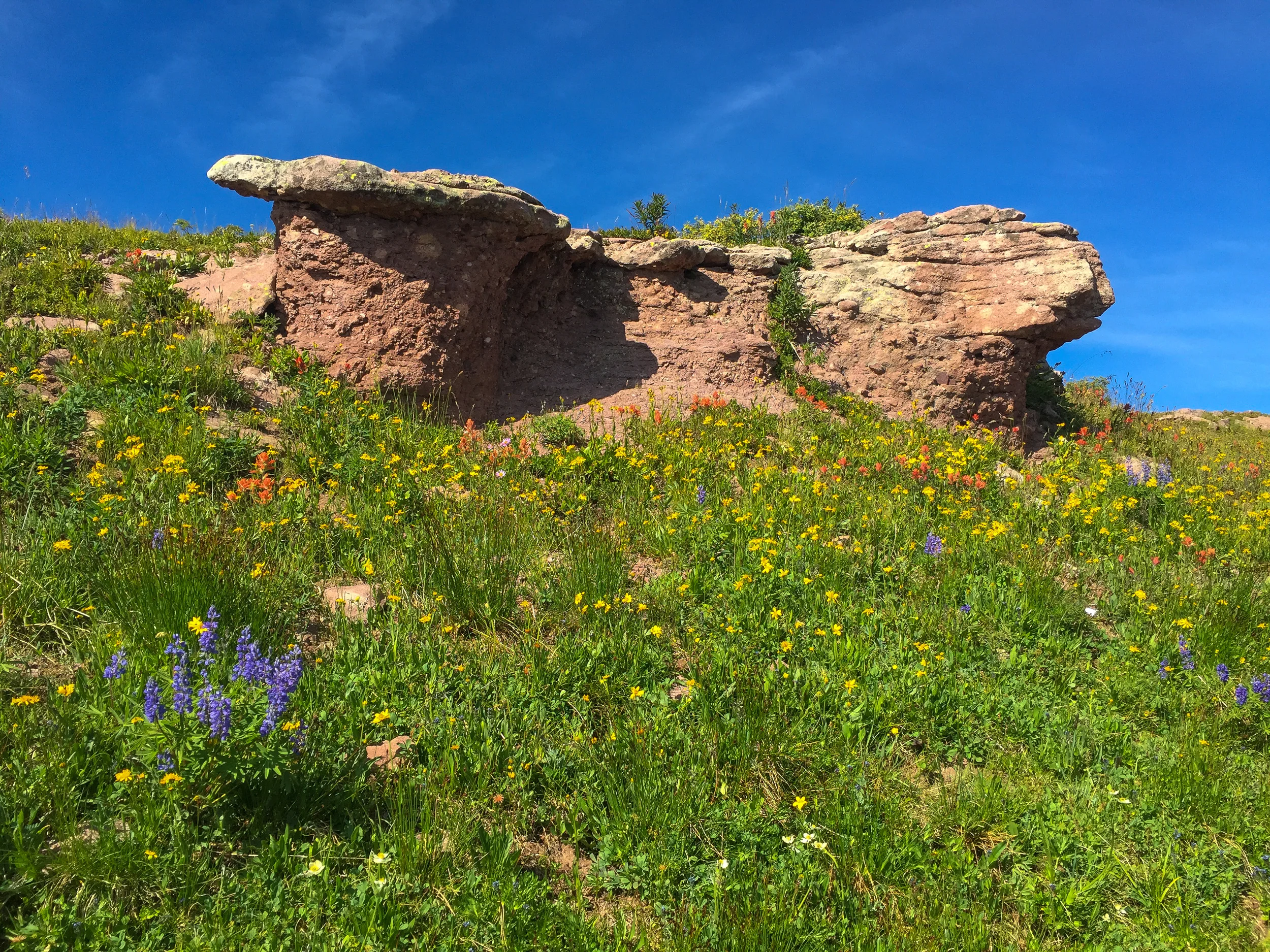
MELANIE HIGHLINE AKA NANCY'S GRASSY PEAK
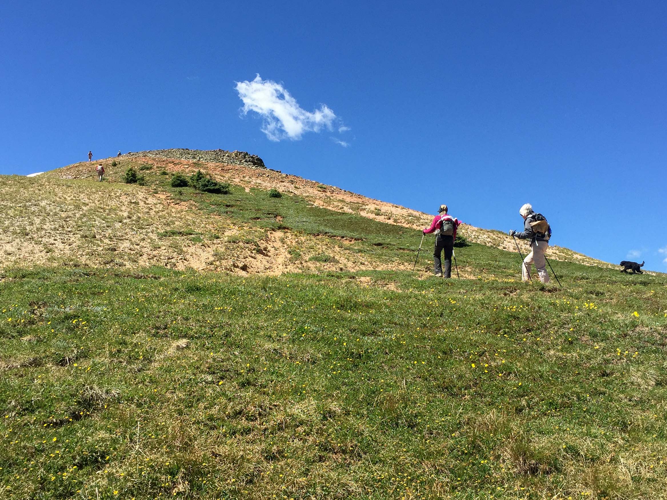
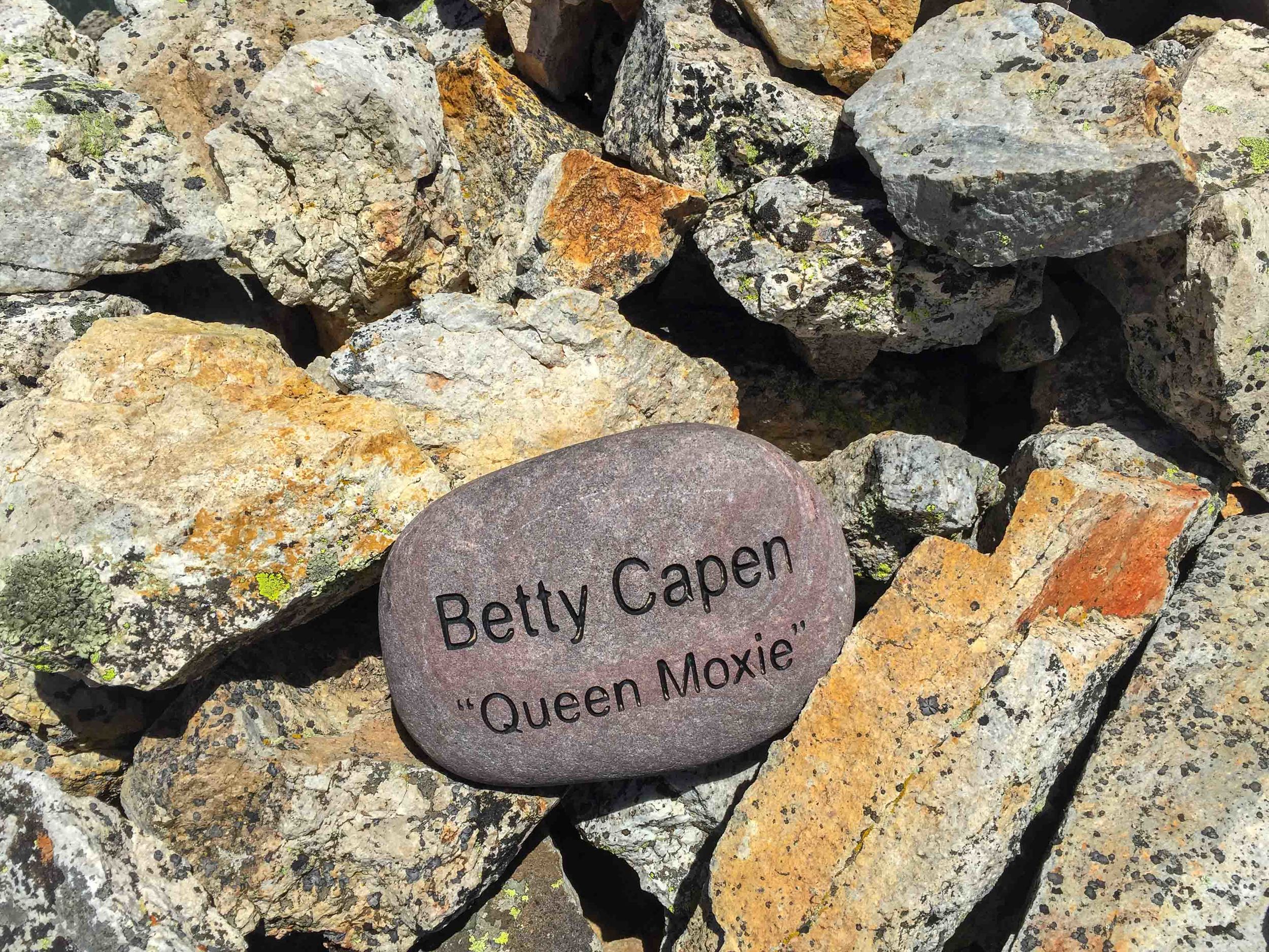
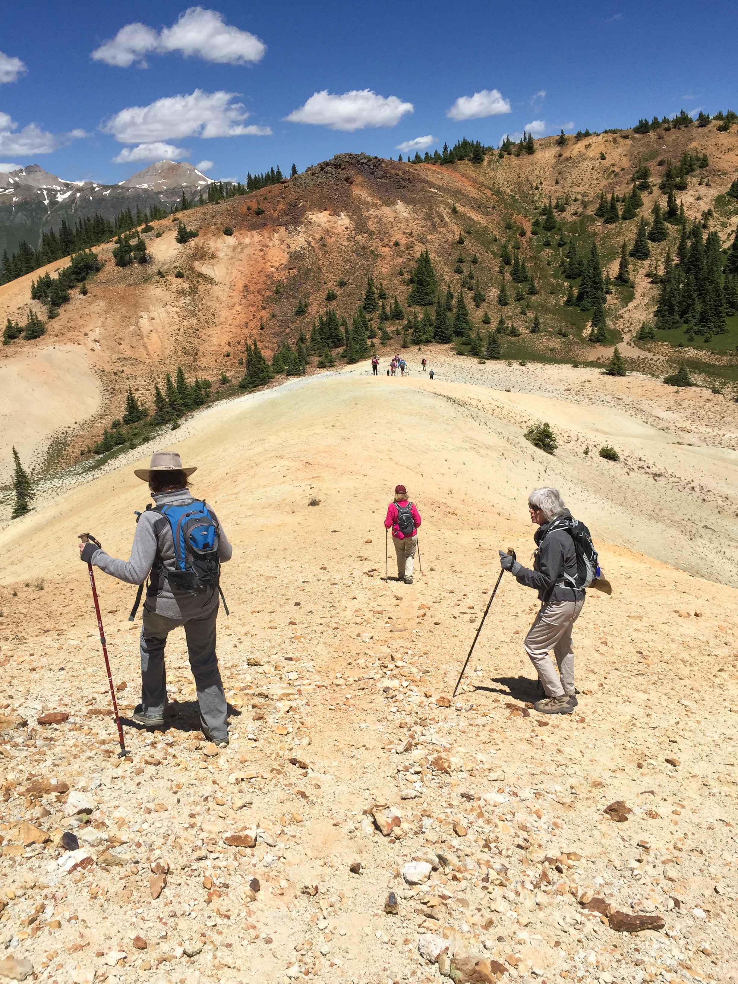
This is the annual Moxie Betty Capan memorial hike. A rock cairn with her name is located at the 12,296' summit. This hike was dedicated to her because it was one of her favorites due to the abundant wildflowers. The 4 mile round trip trail is difficult, all above treelike and offers interesting terrain including grassy animal trails, gullies, hills and basins. Expansive Views of the surrounding peaks are seen during the entire hike.
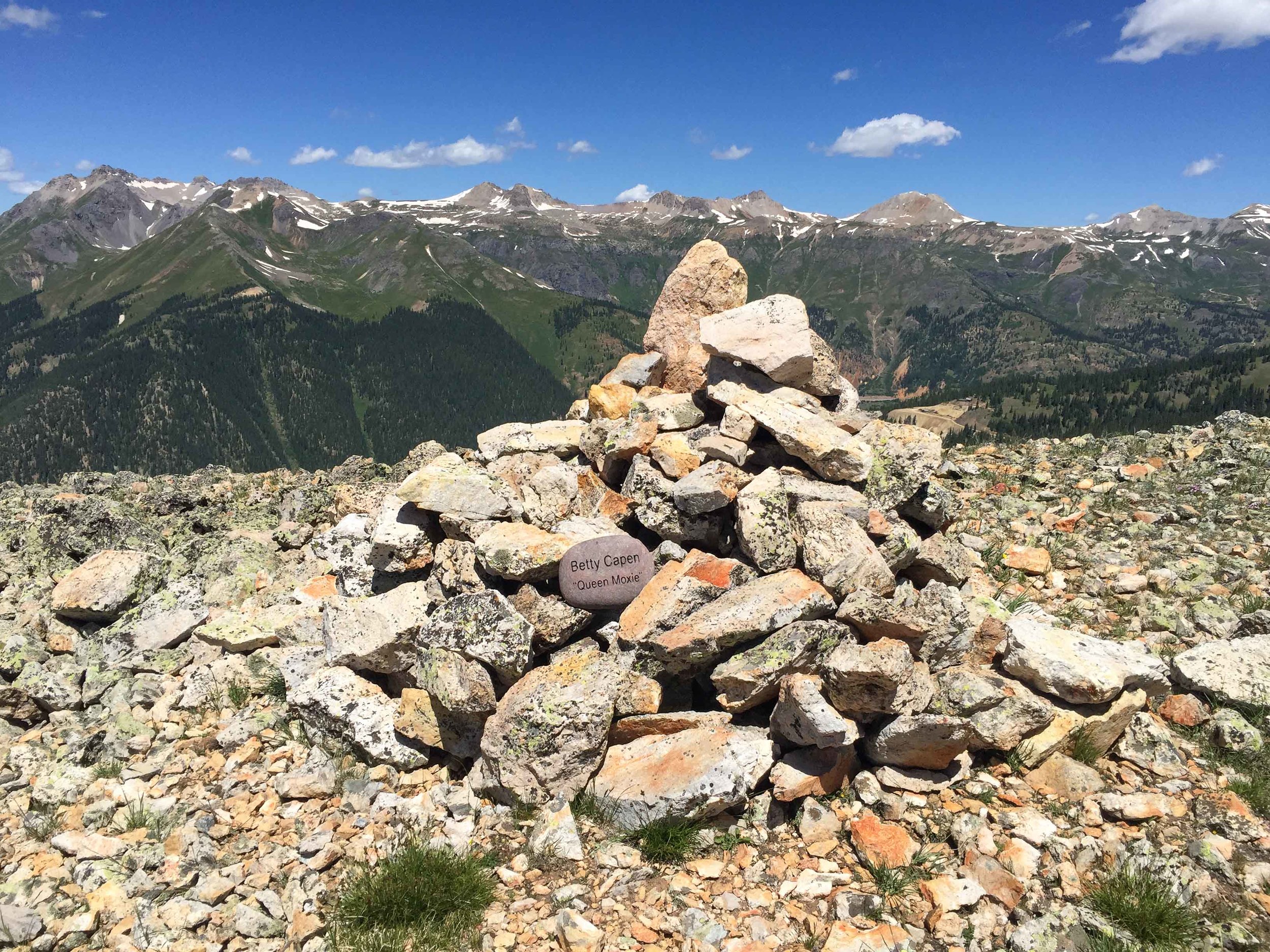
Betty Capen Memorial Cairn on Nancy's Grassy Peak
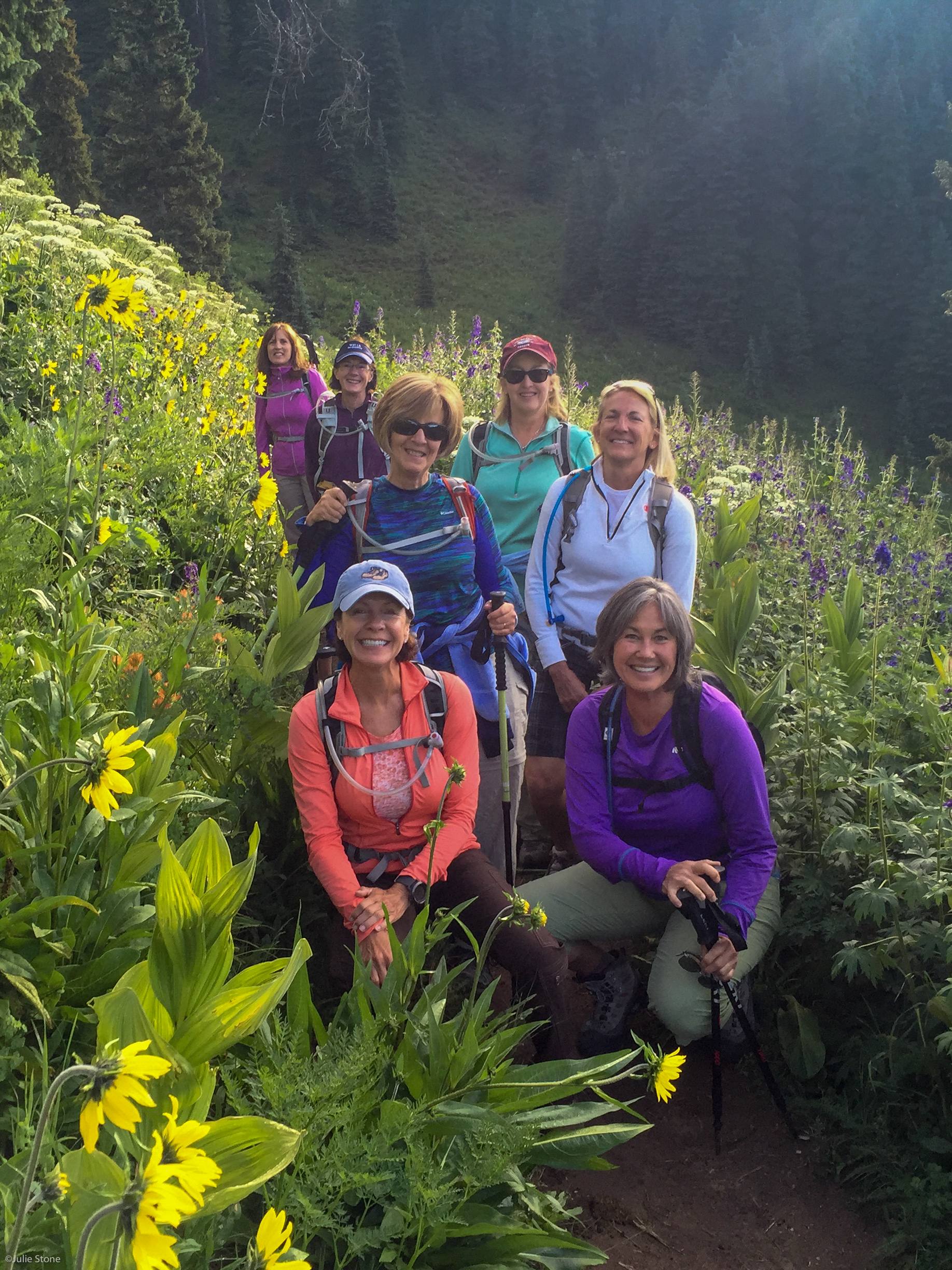
TODAY MARY PEIL'S TWIN SISTER, CARRIE, MADE AN APPEARANCE DURING THE HIKE. MARY IS THE TALLER OF THE TWO AND VERY NICE. HER TWIN IS THE SHORTER ONE AND VERY WICKED. WE WERE GLAD THAT CARRIE DID NOT TO HIKE THE ENTIRE DAY WITH US. (OKAY YOU ALL SHOULD KNOW BY NOW THIS IS A TALL TAIL. KYLA INTRODUCED US TO PANO PHOTOGRAPHY THAT ALLOWED ALL OF US TO BE IN THE PHOTO. THANKS FOR THE PHOTO TIP KYLA!!!
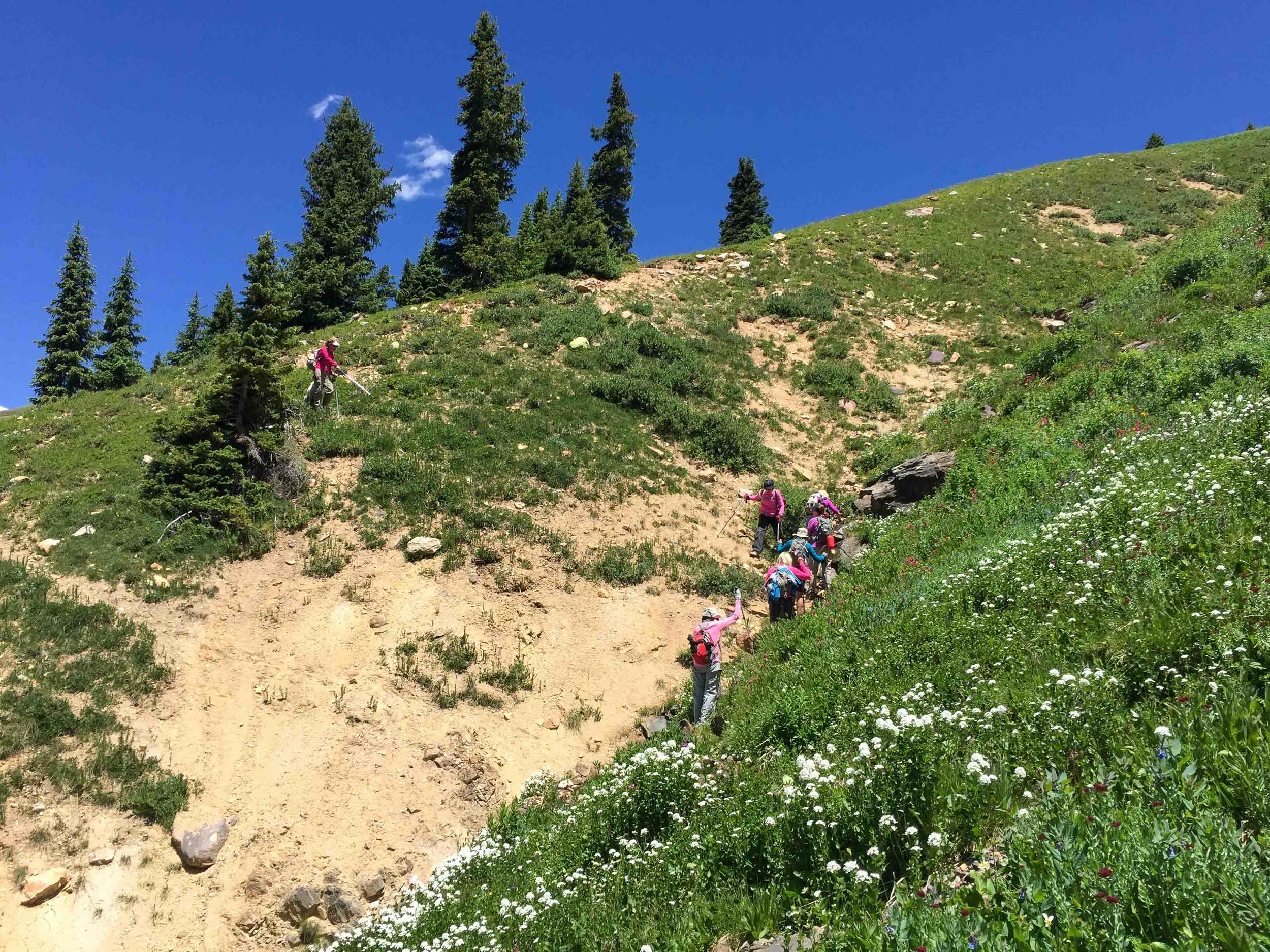
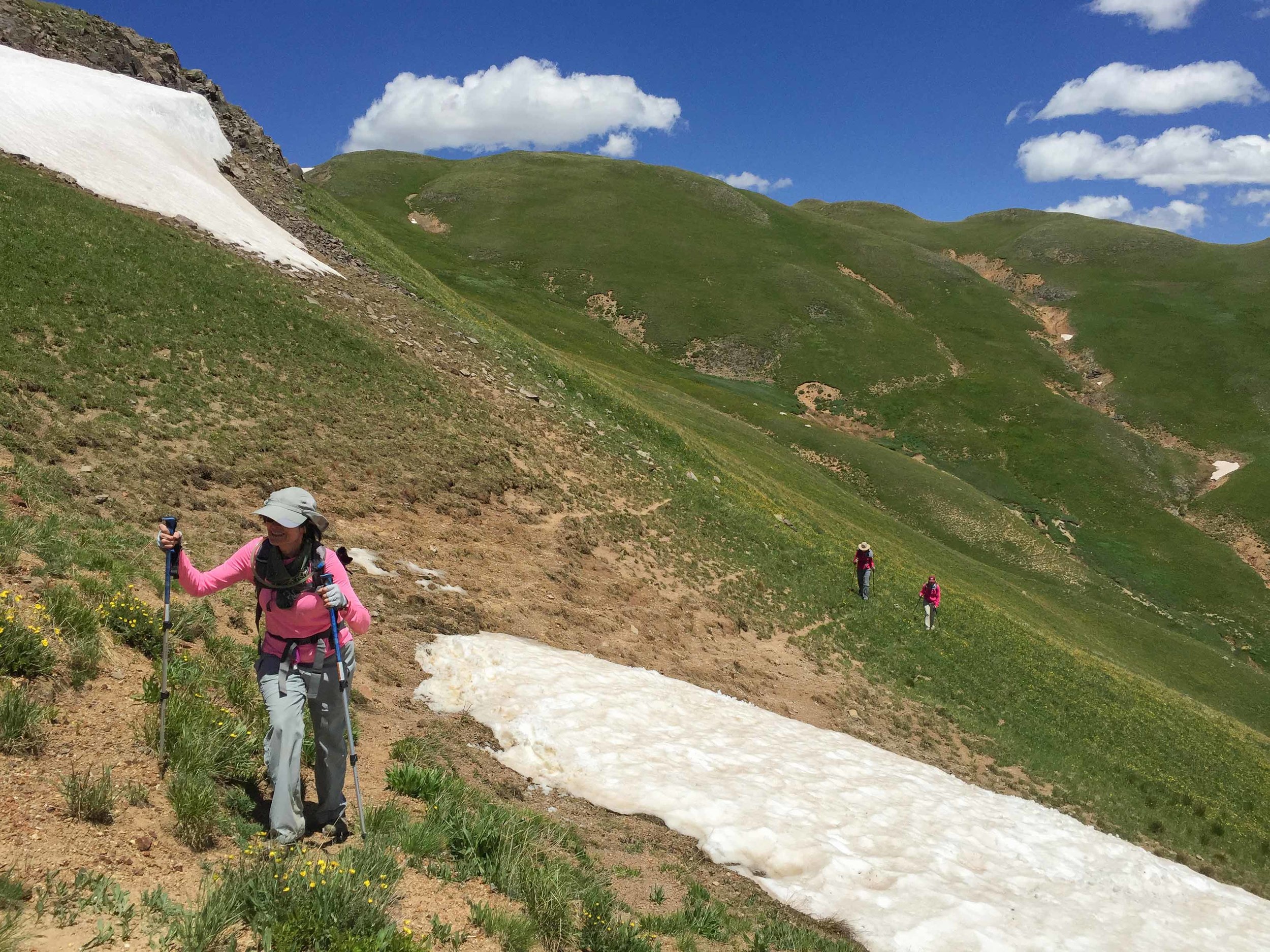

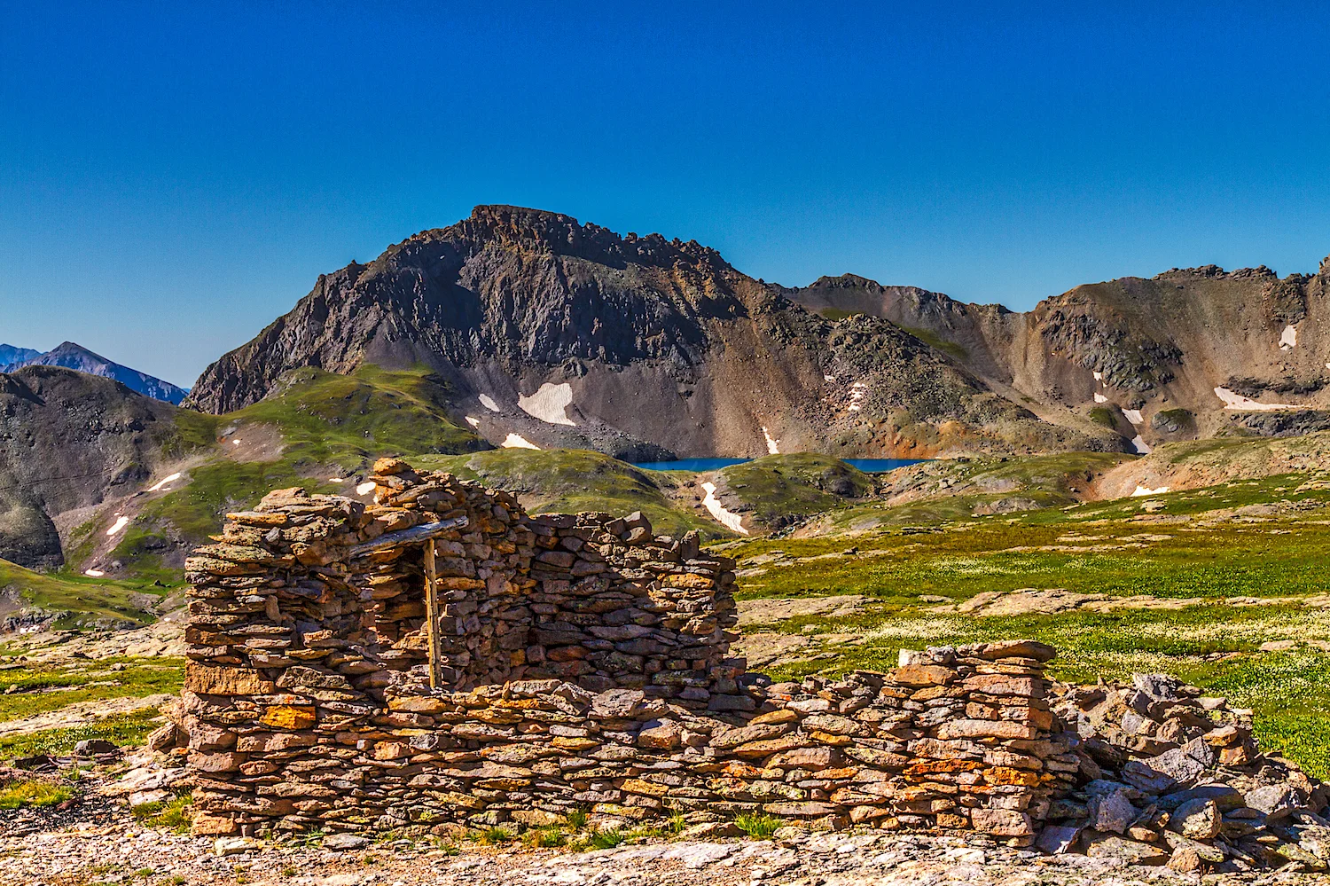
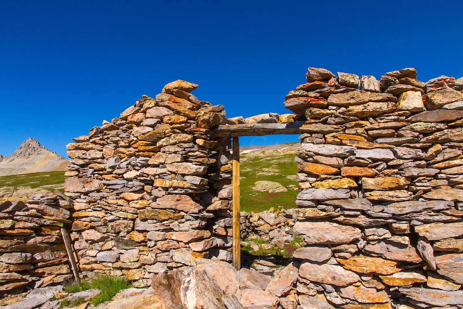
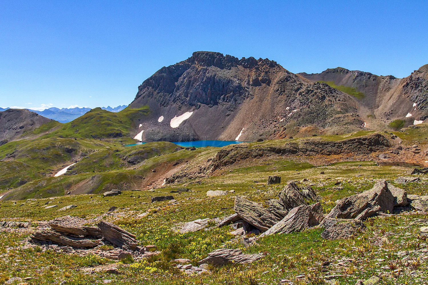
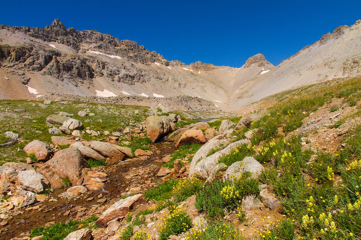
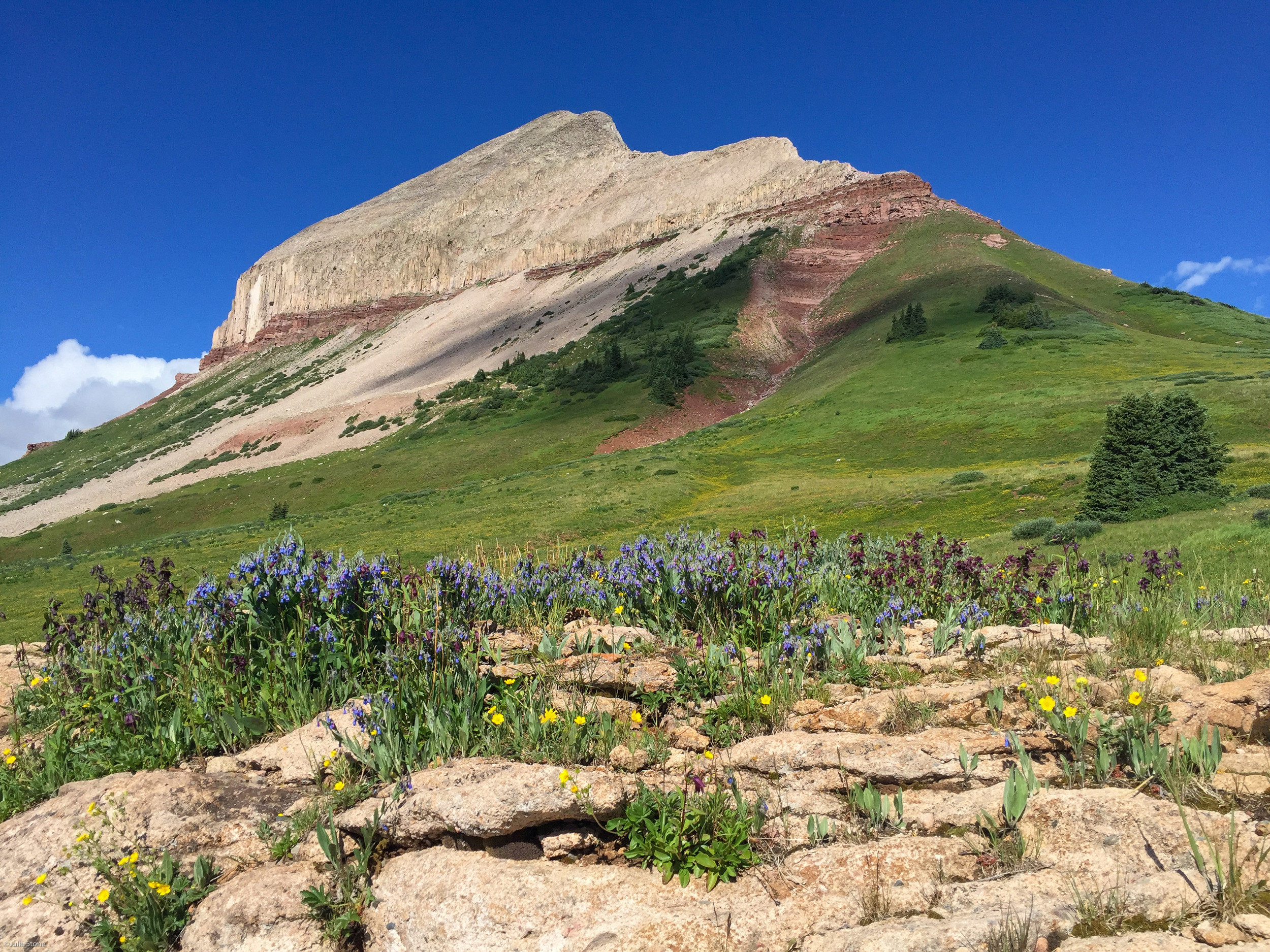
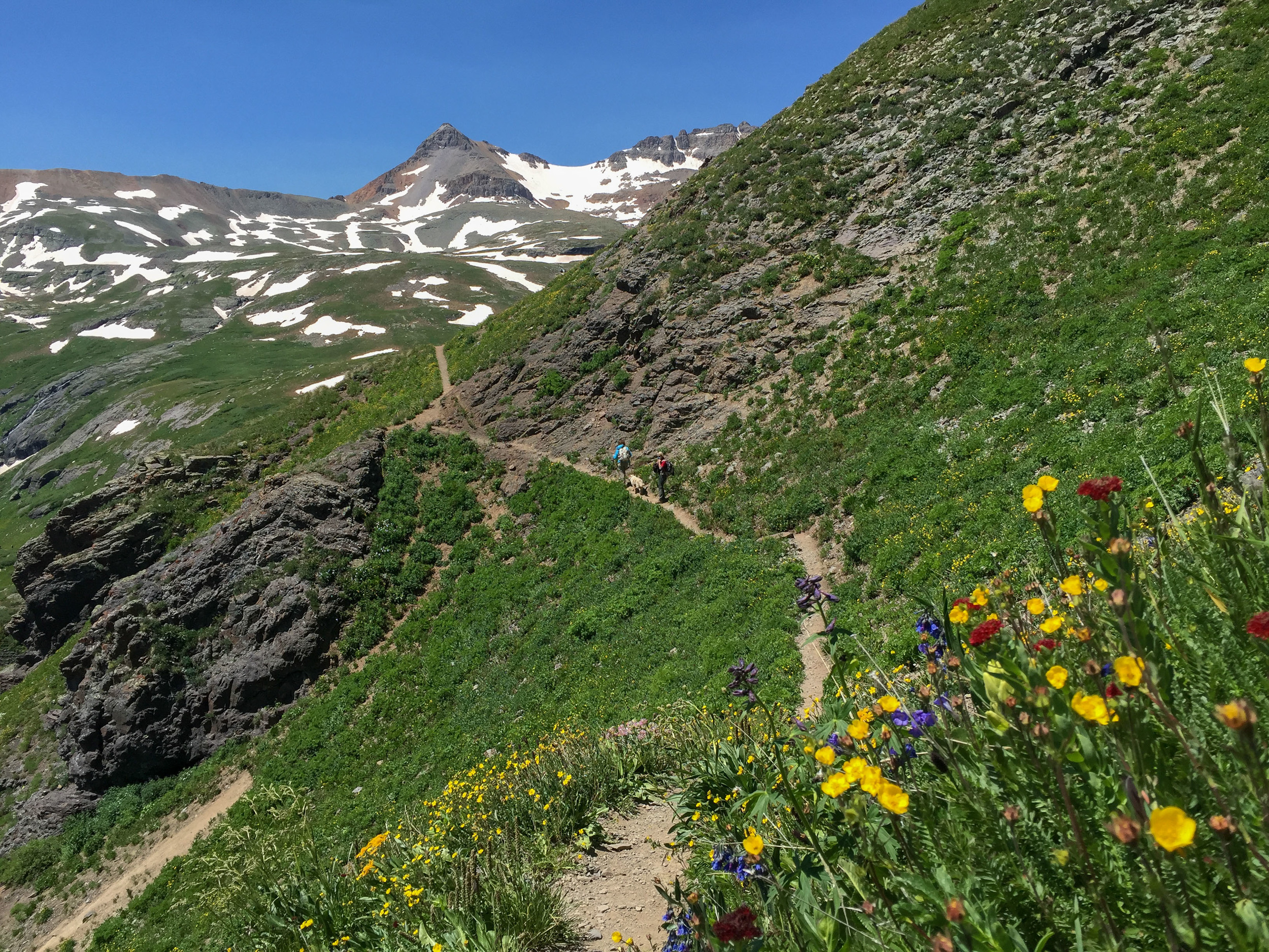
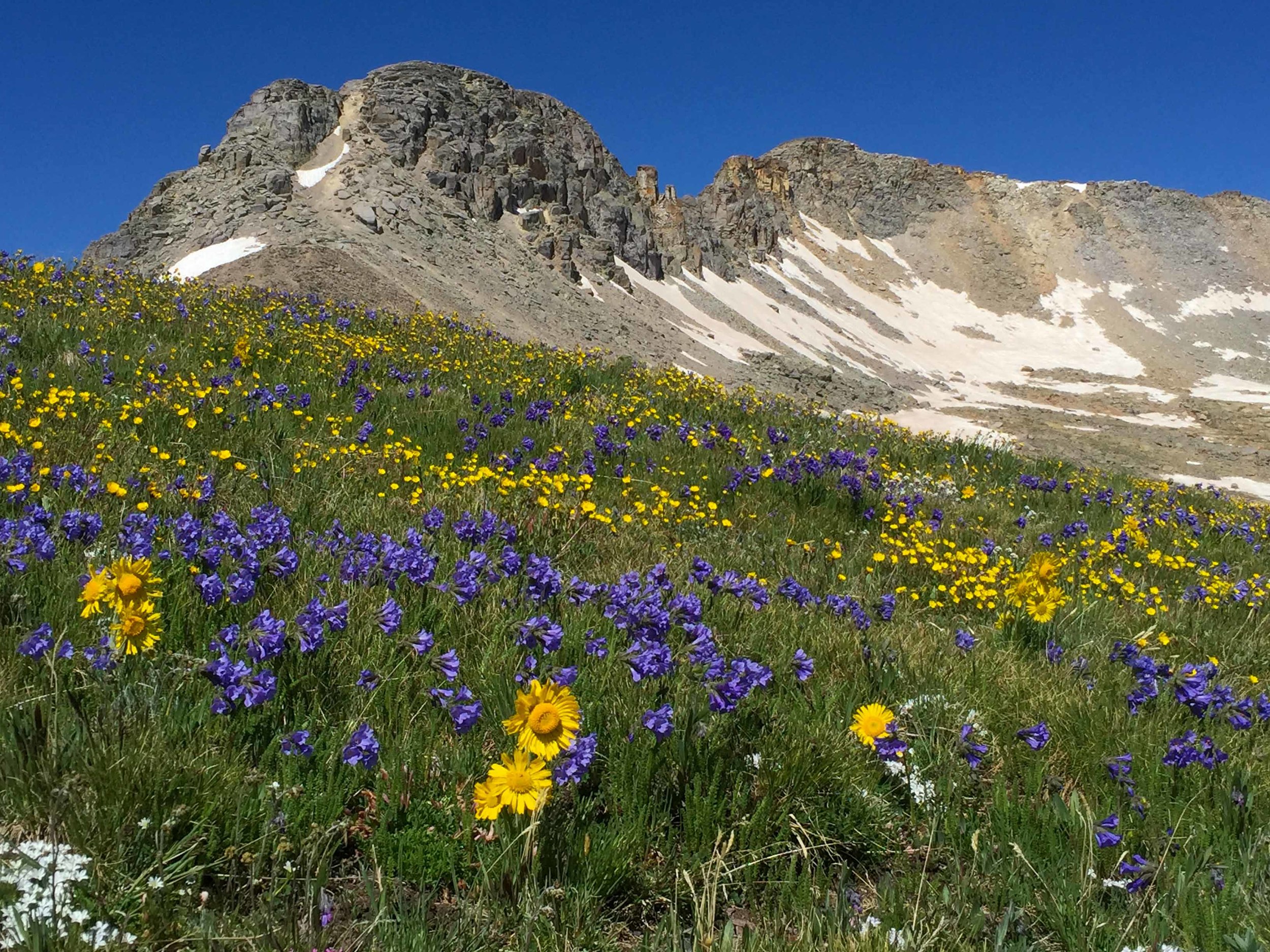
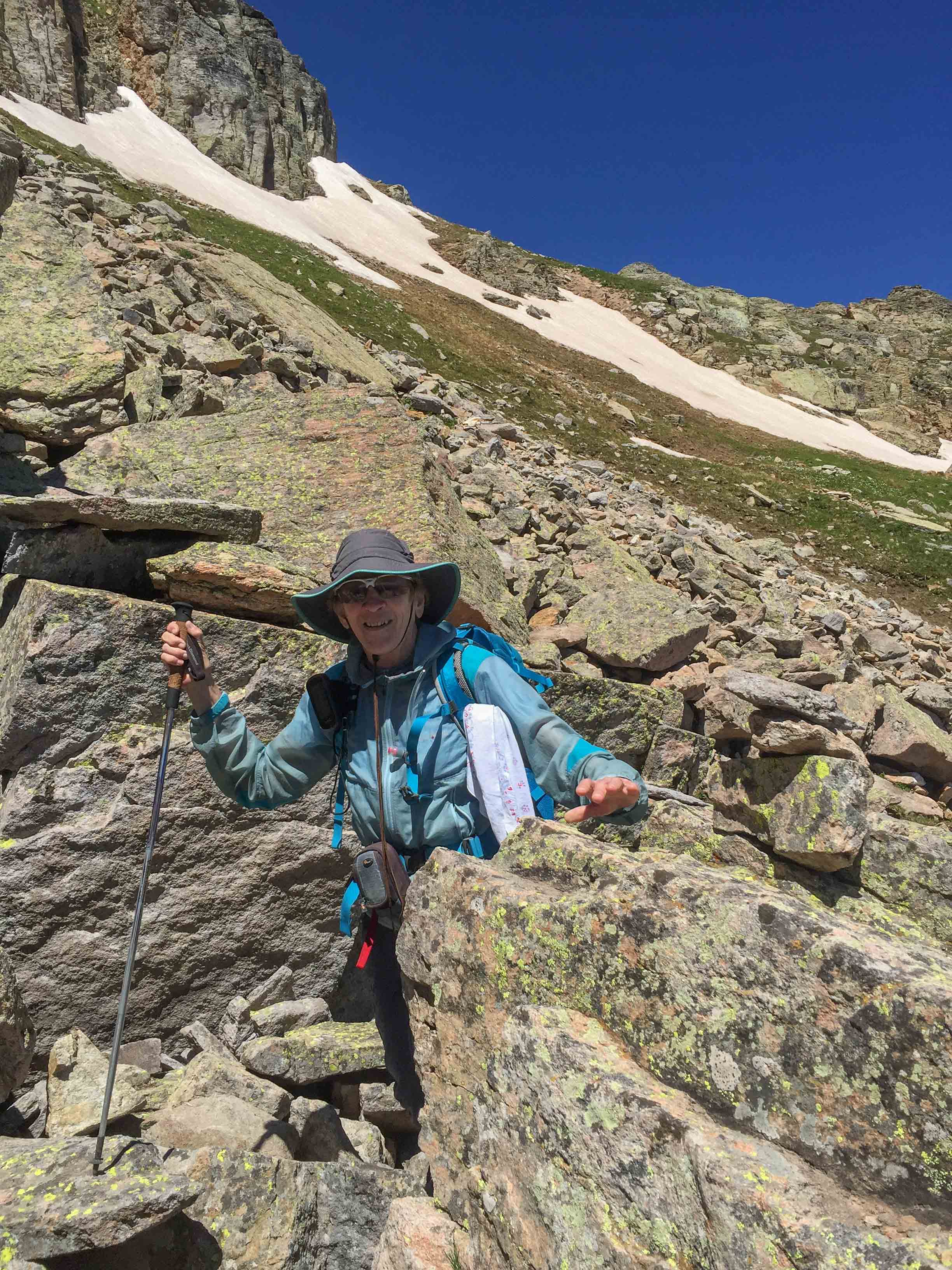
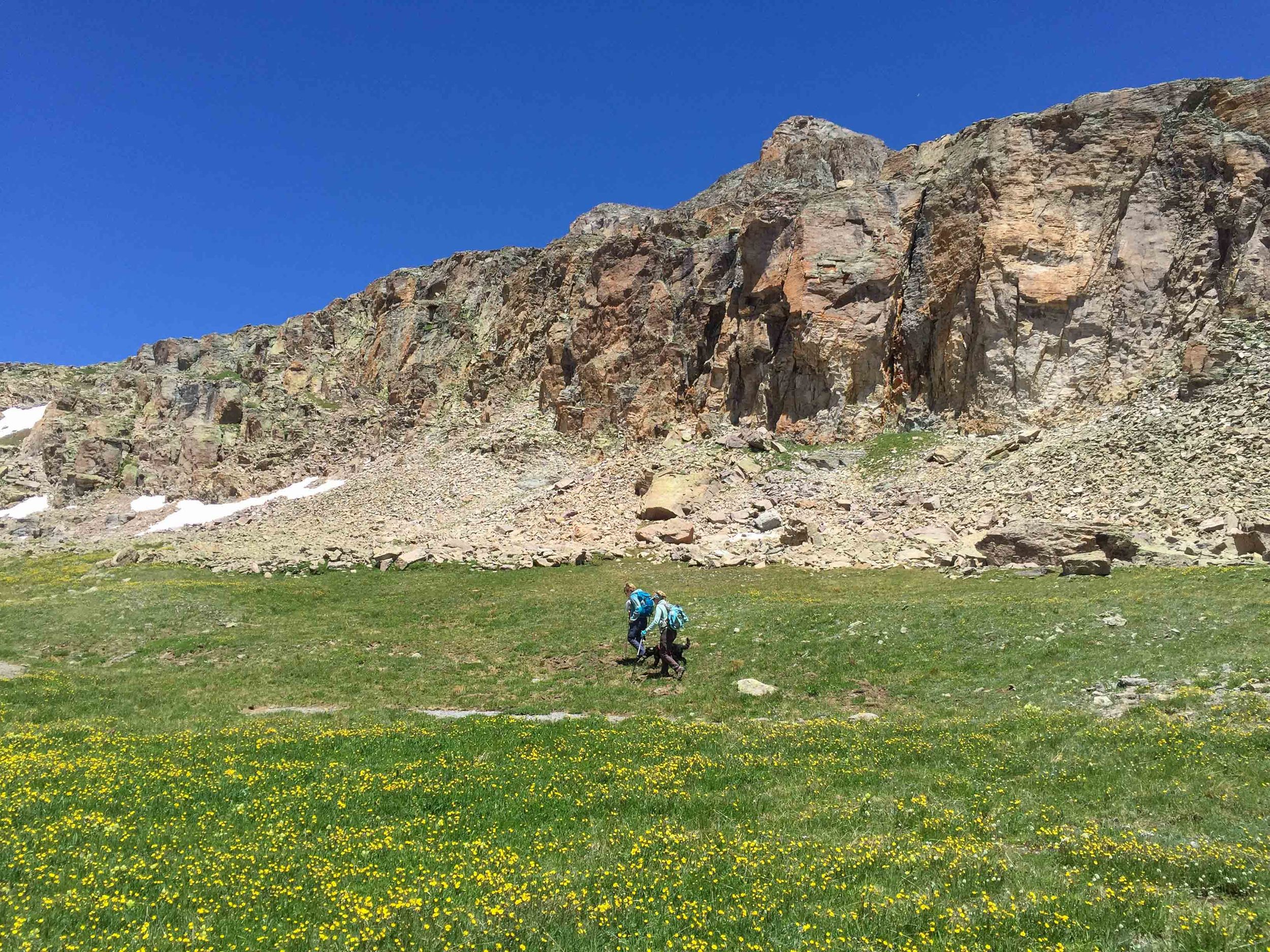
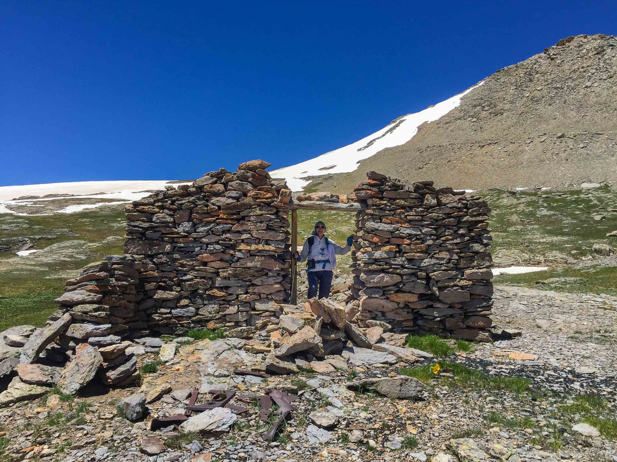
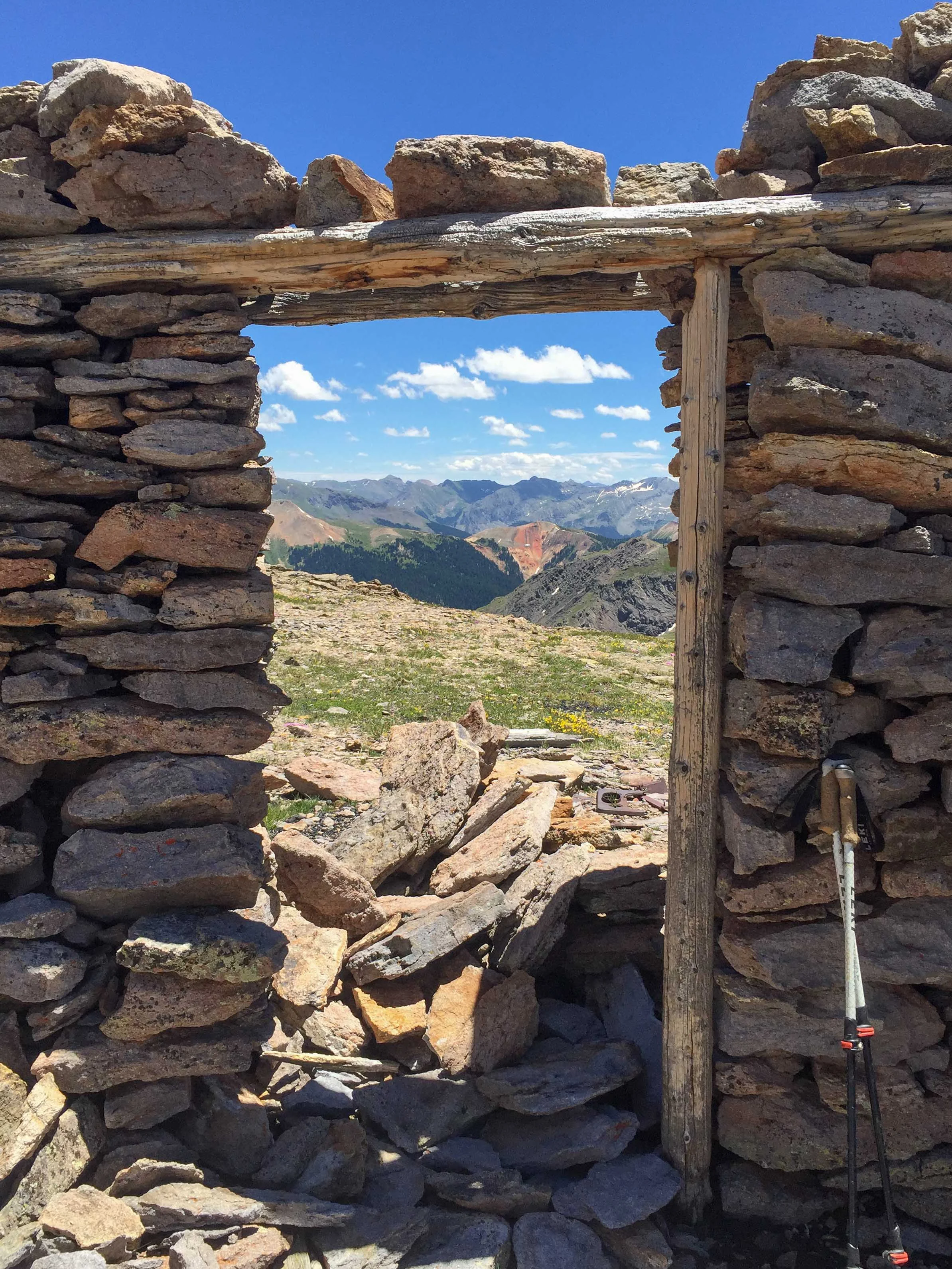
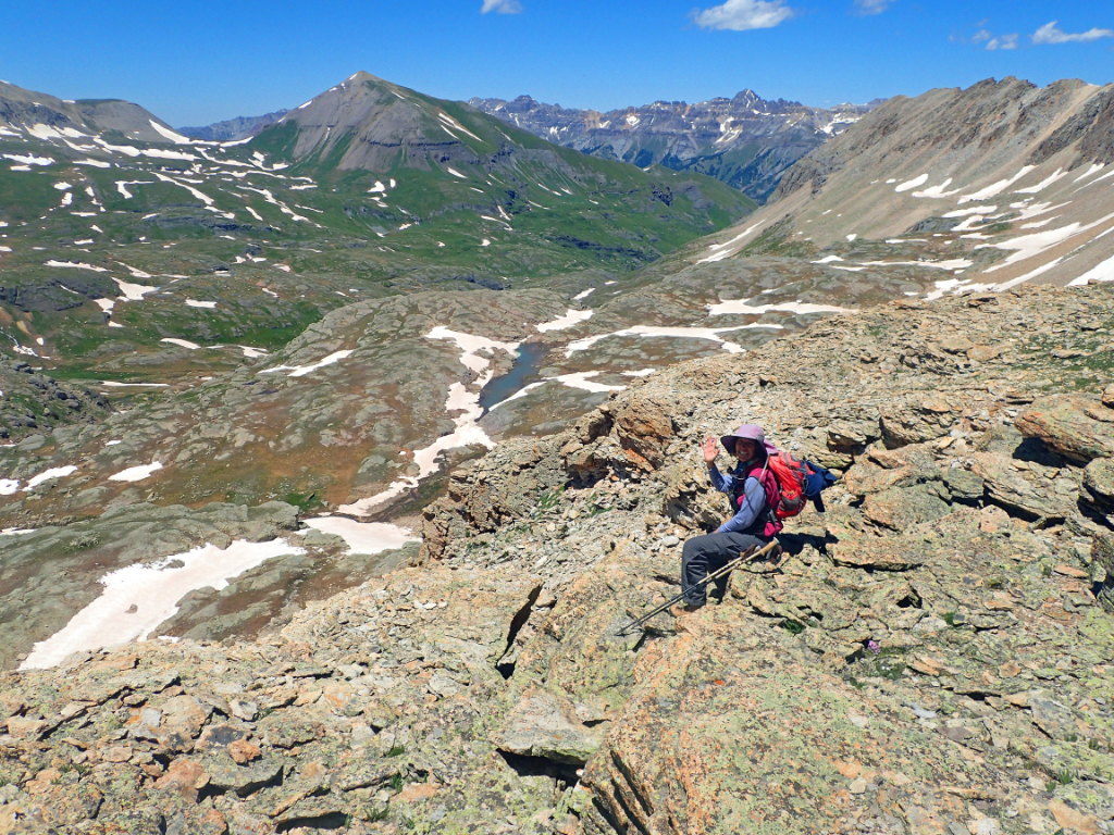
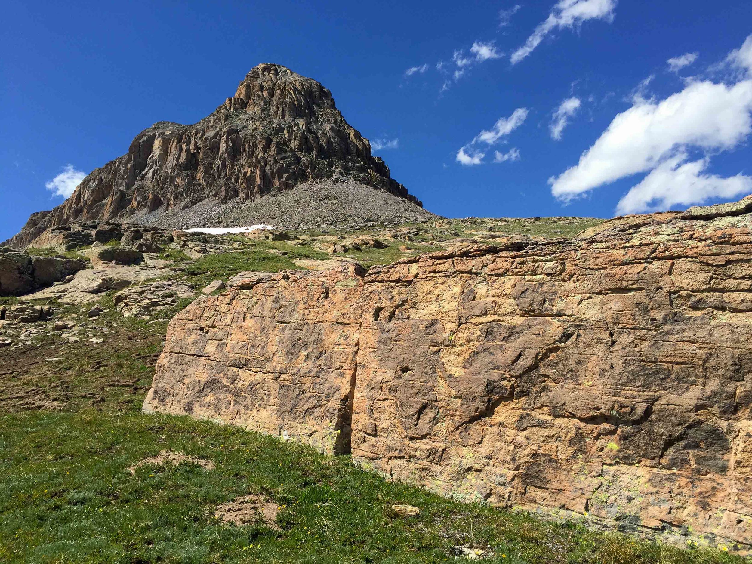
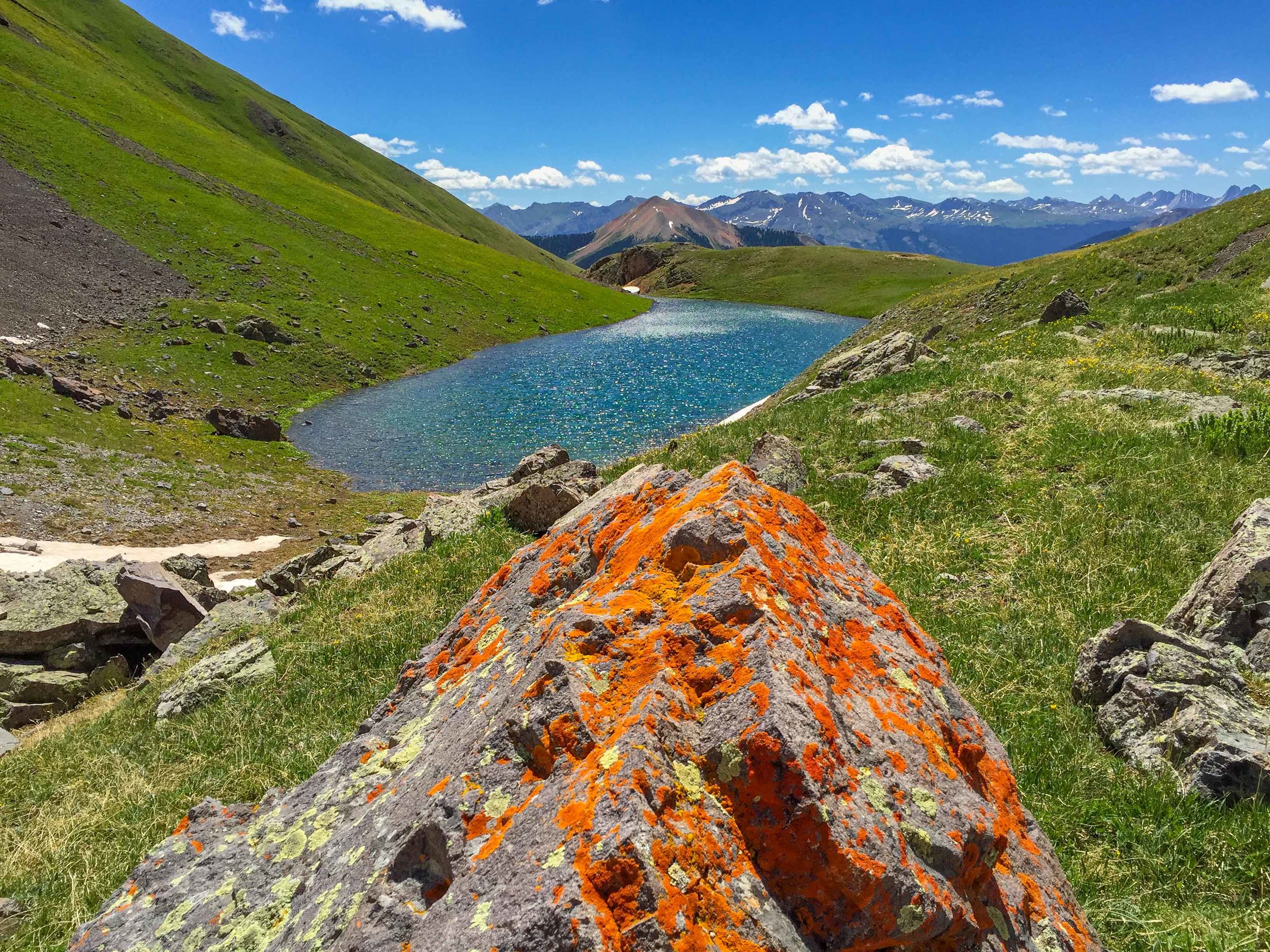
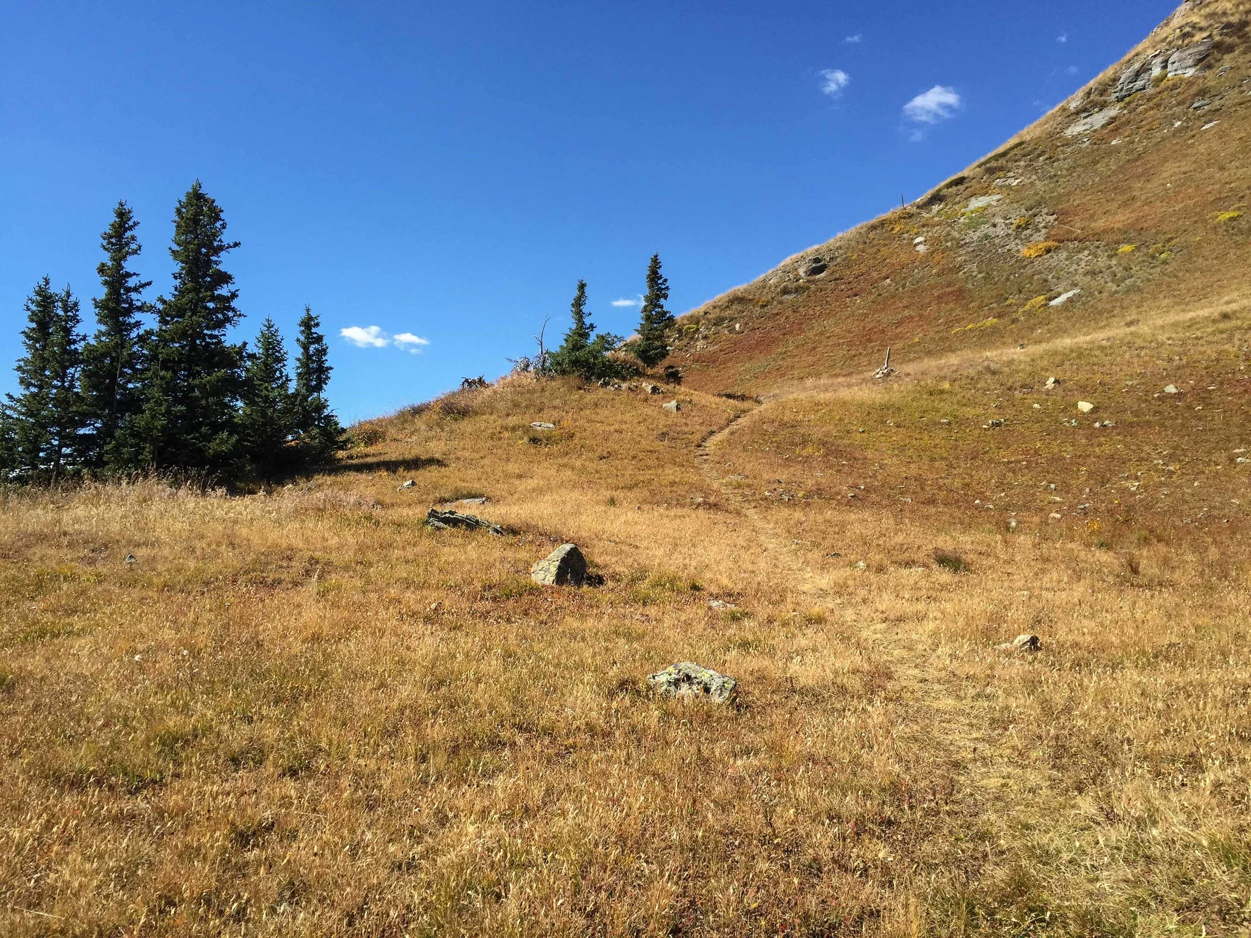
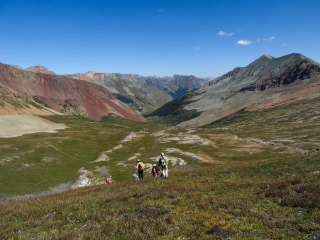
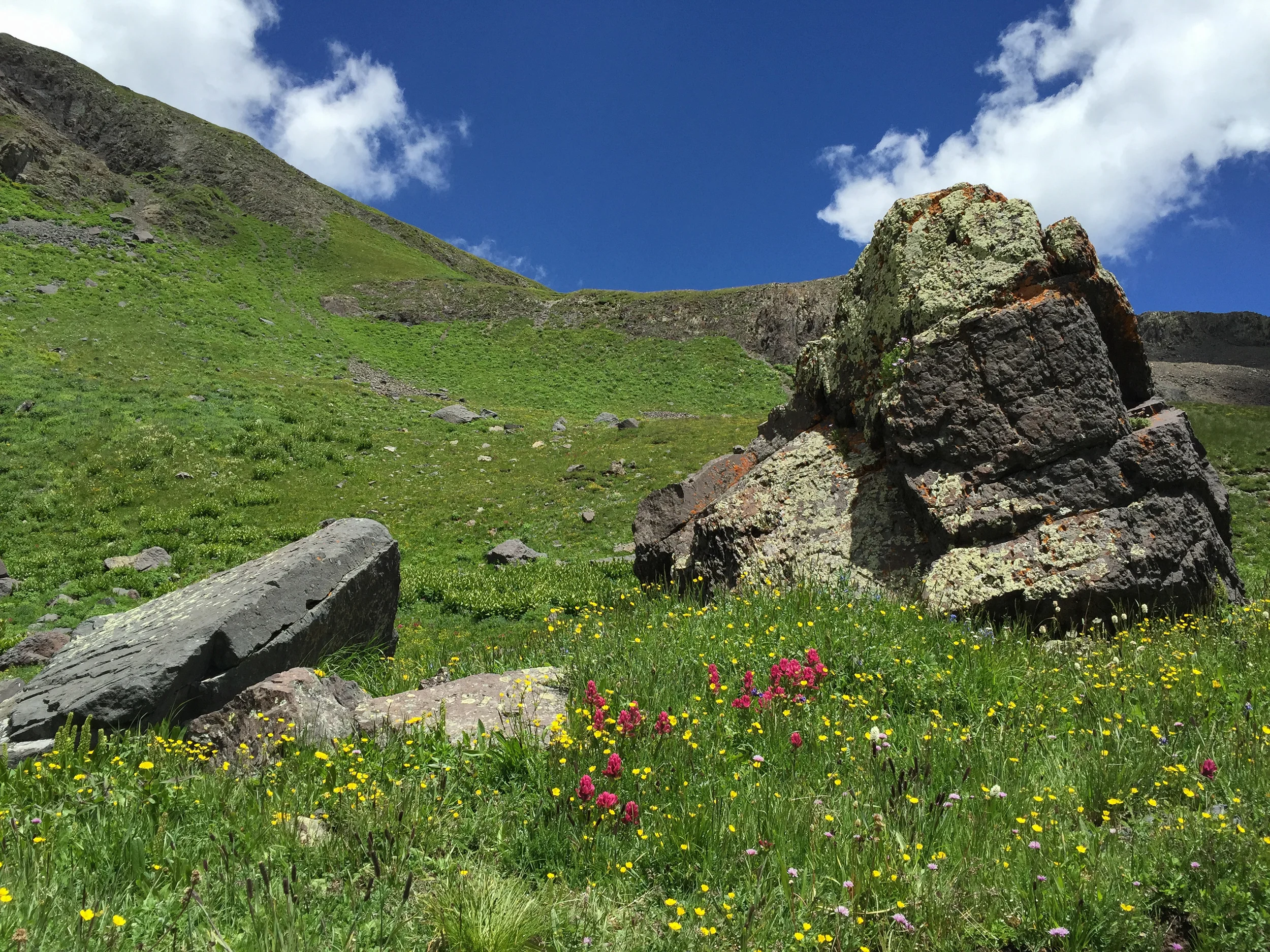
PORPHYRY BASIN TO COLUMBINE PASS
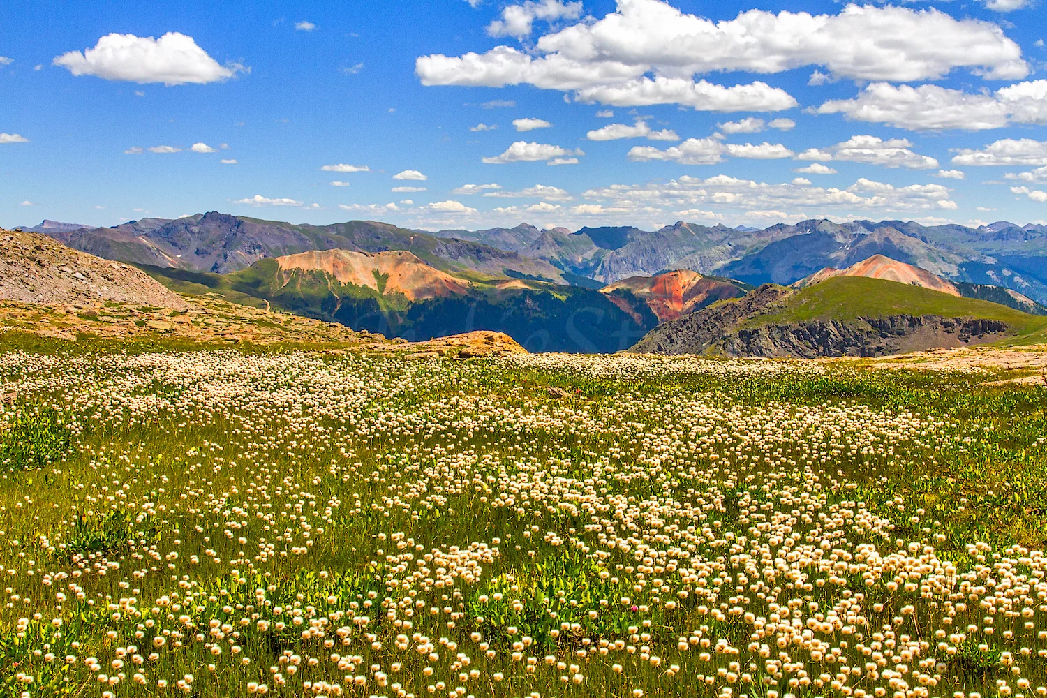
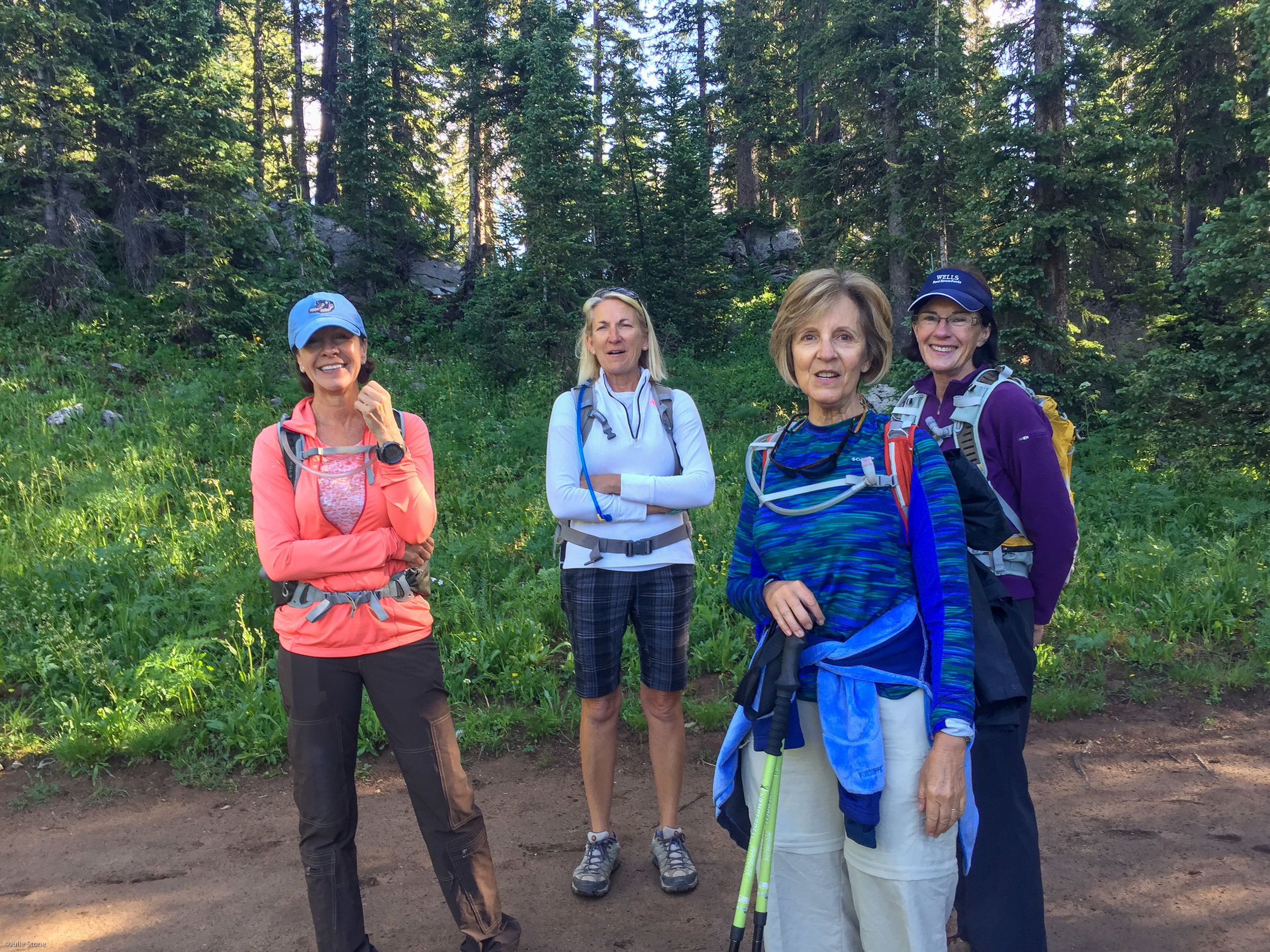
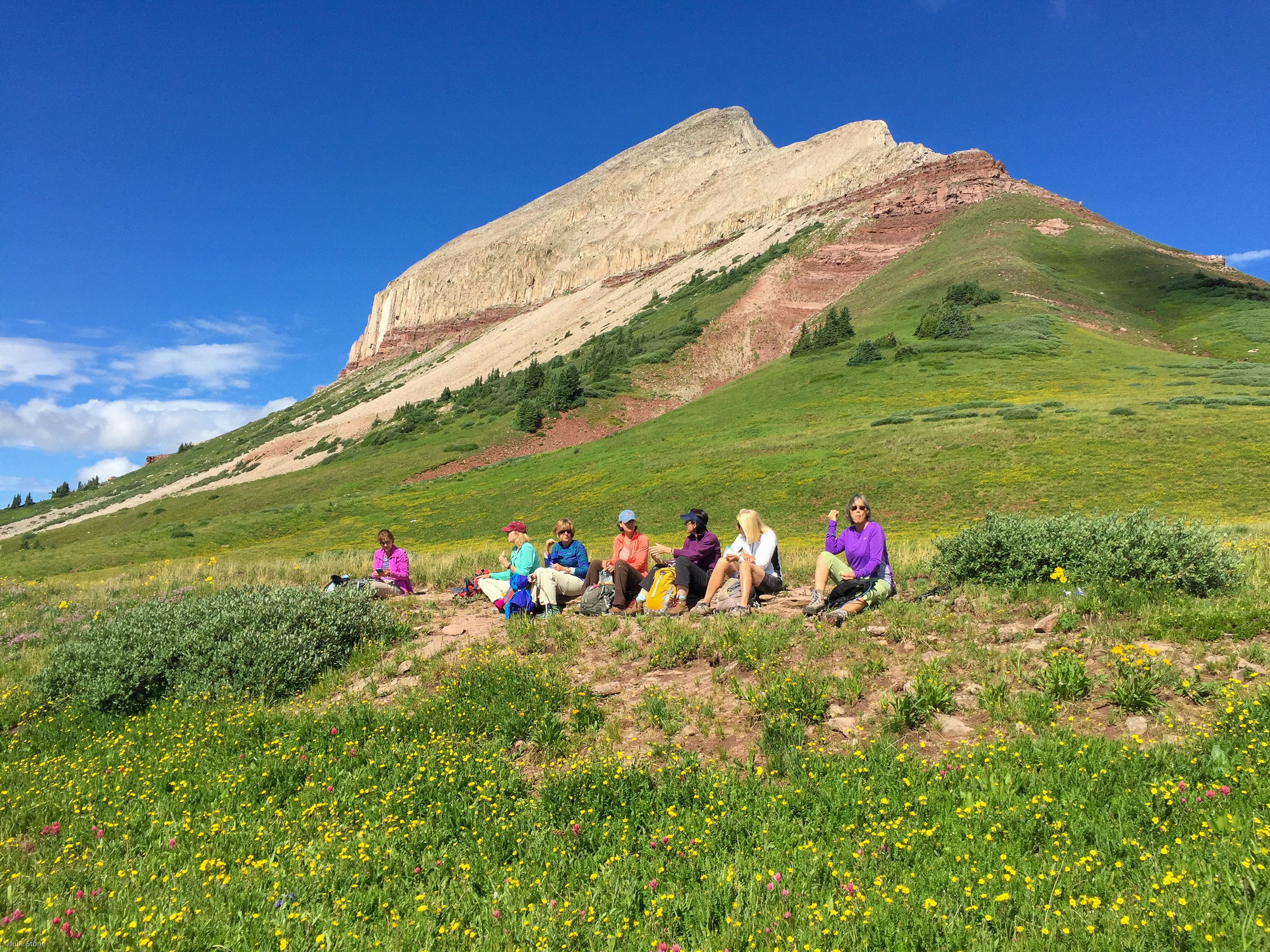
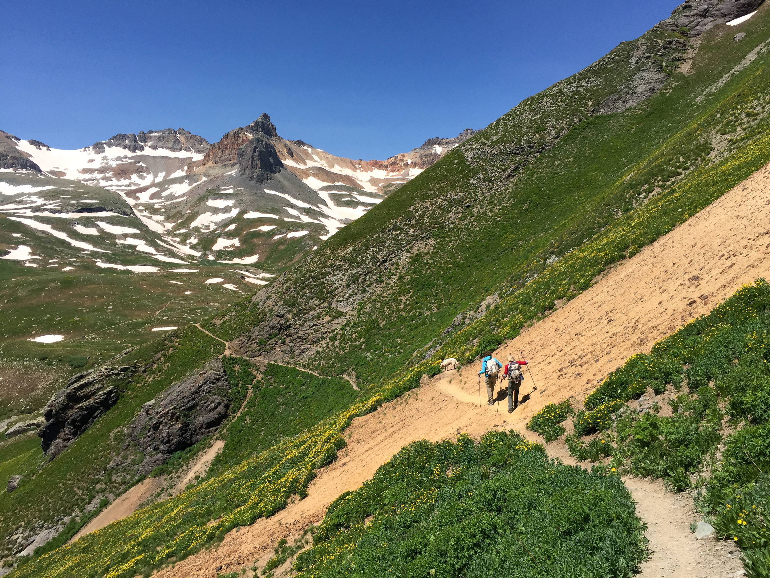
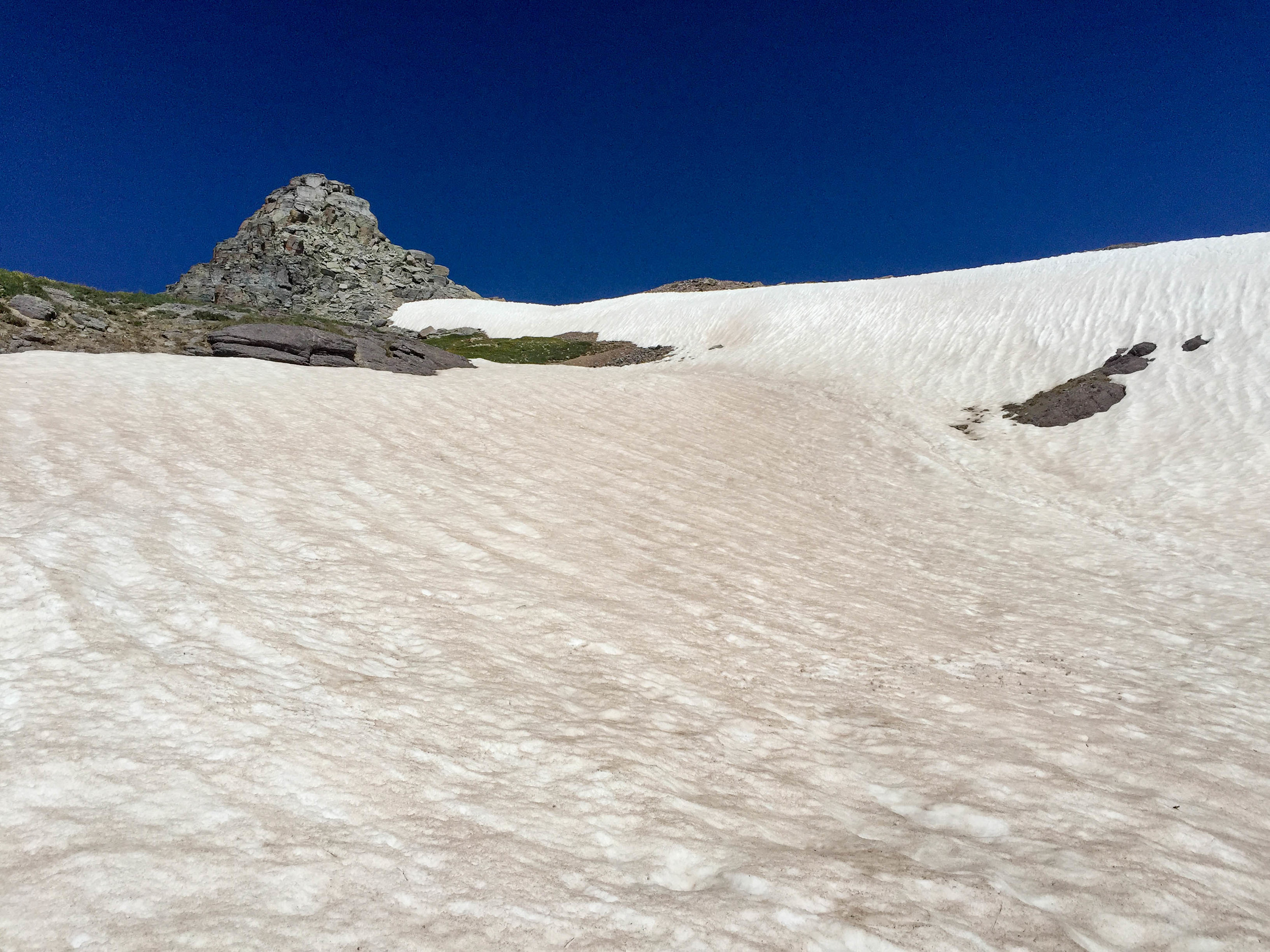
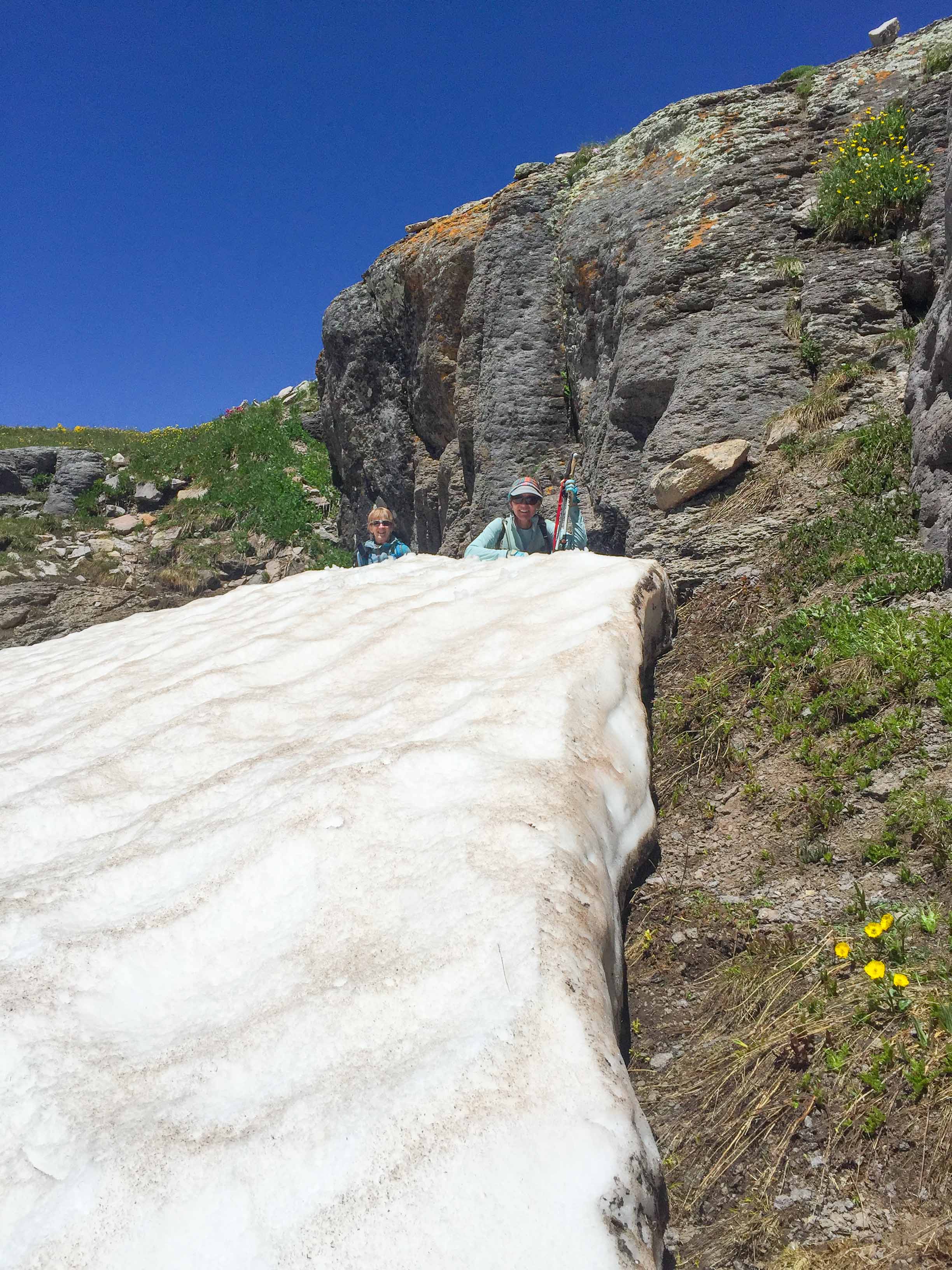
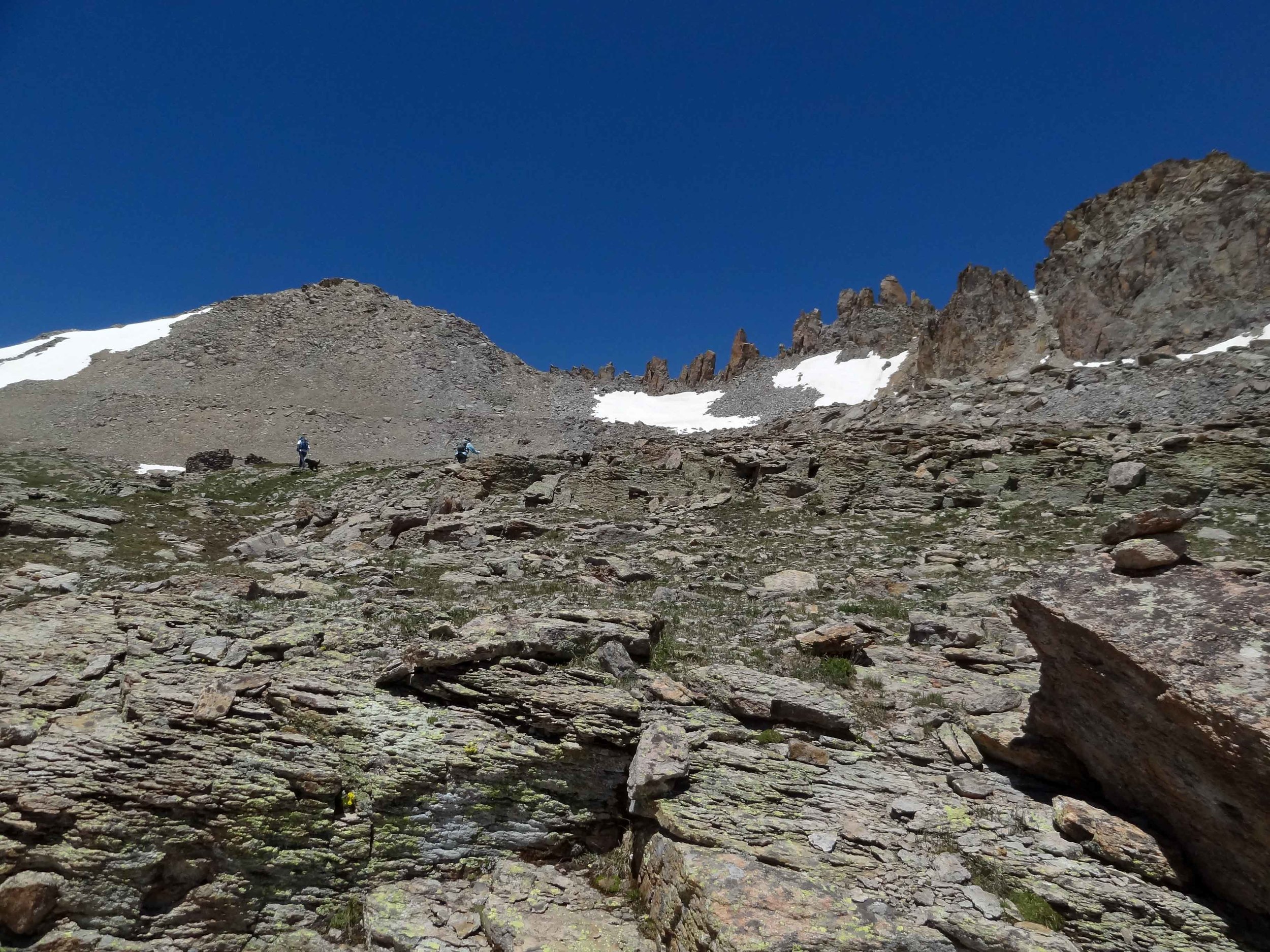
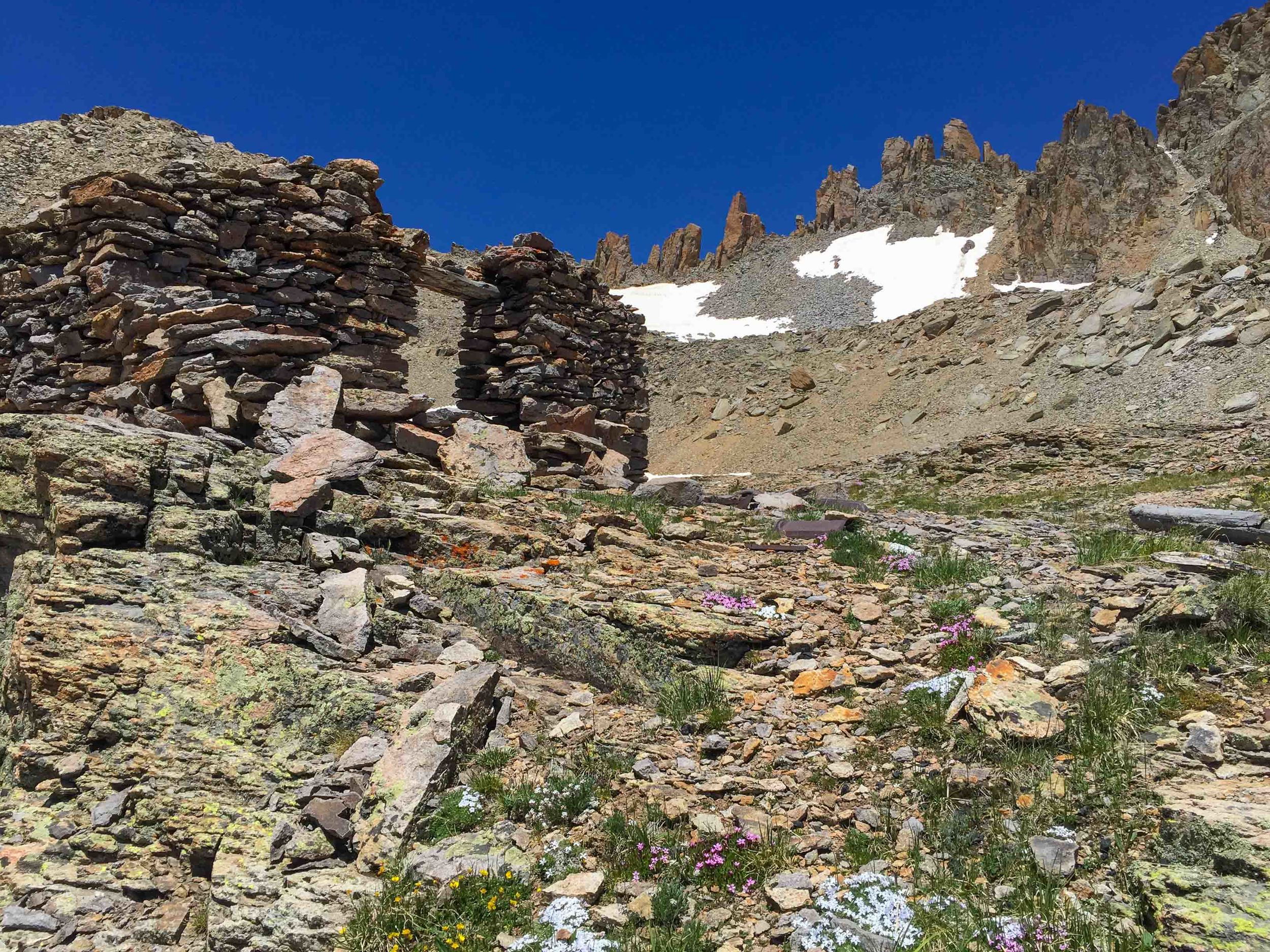
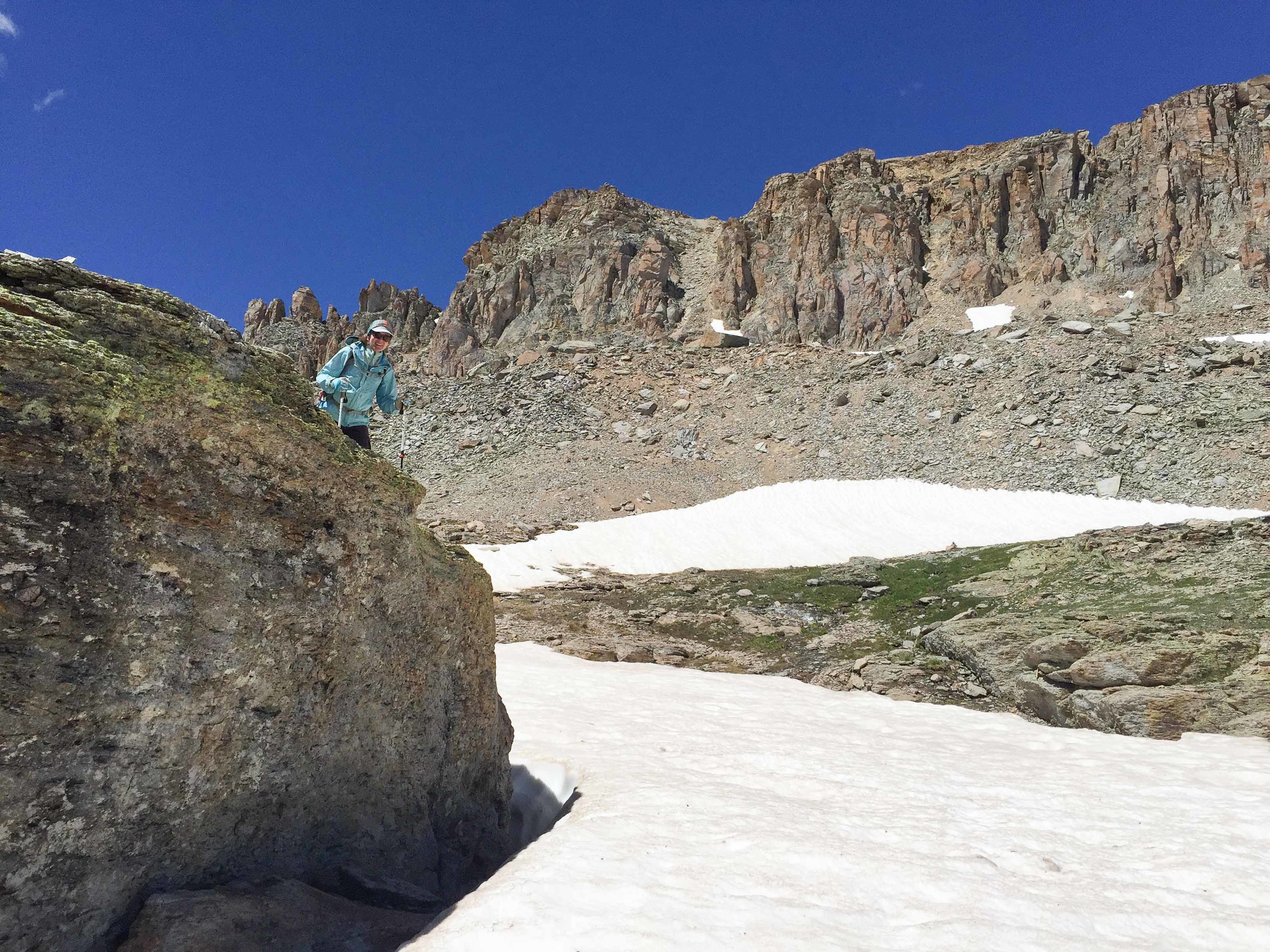
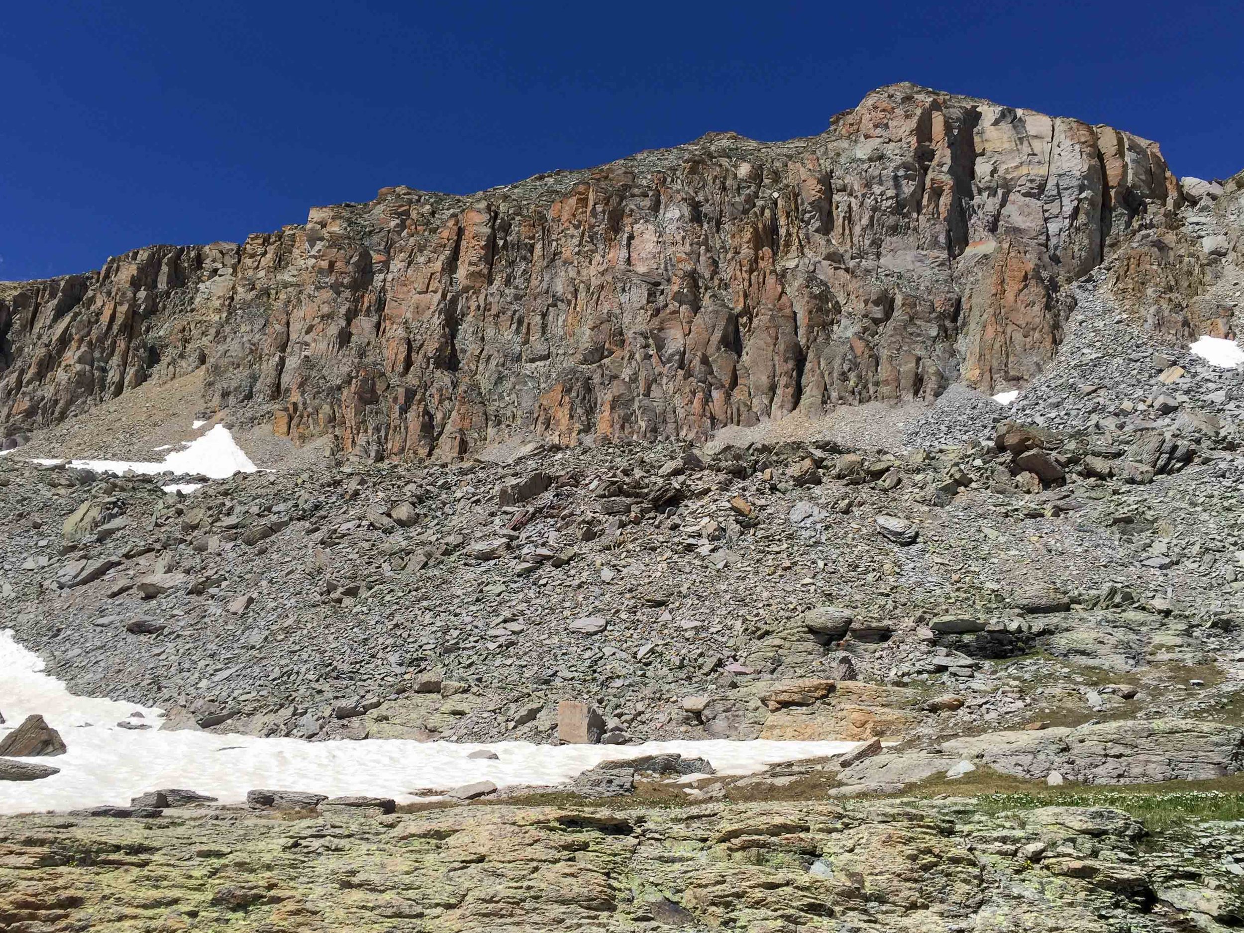
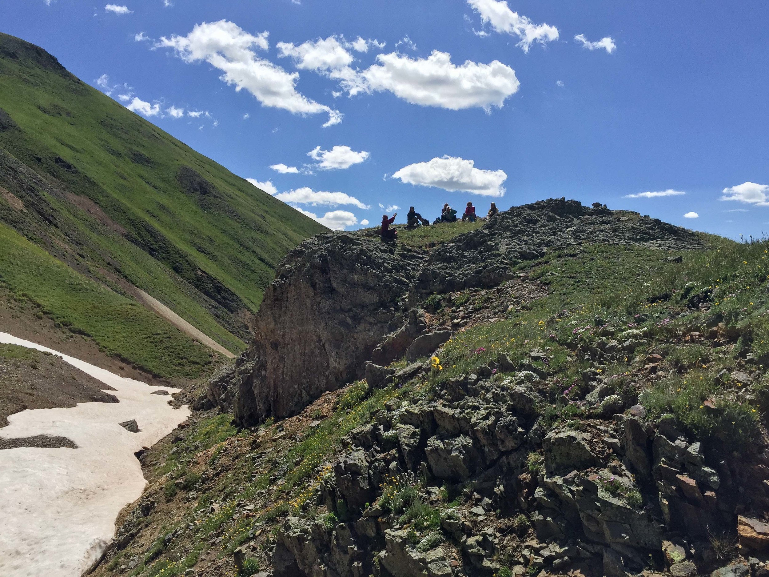
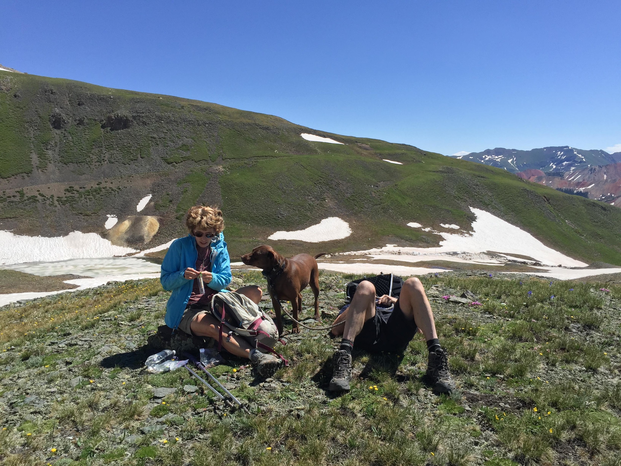
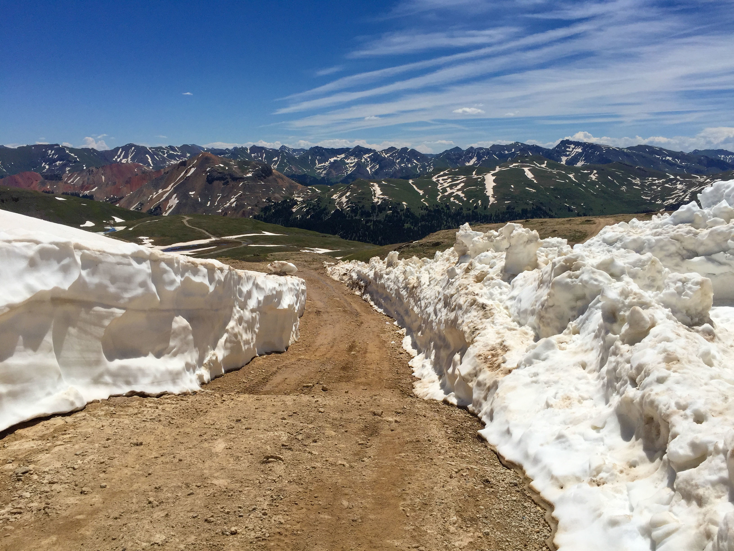
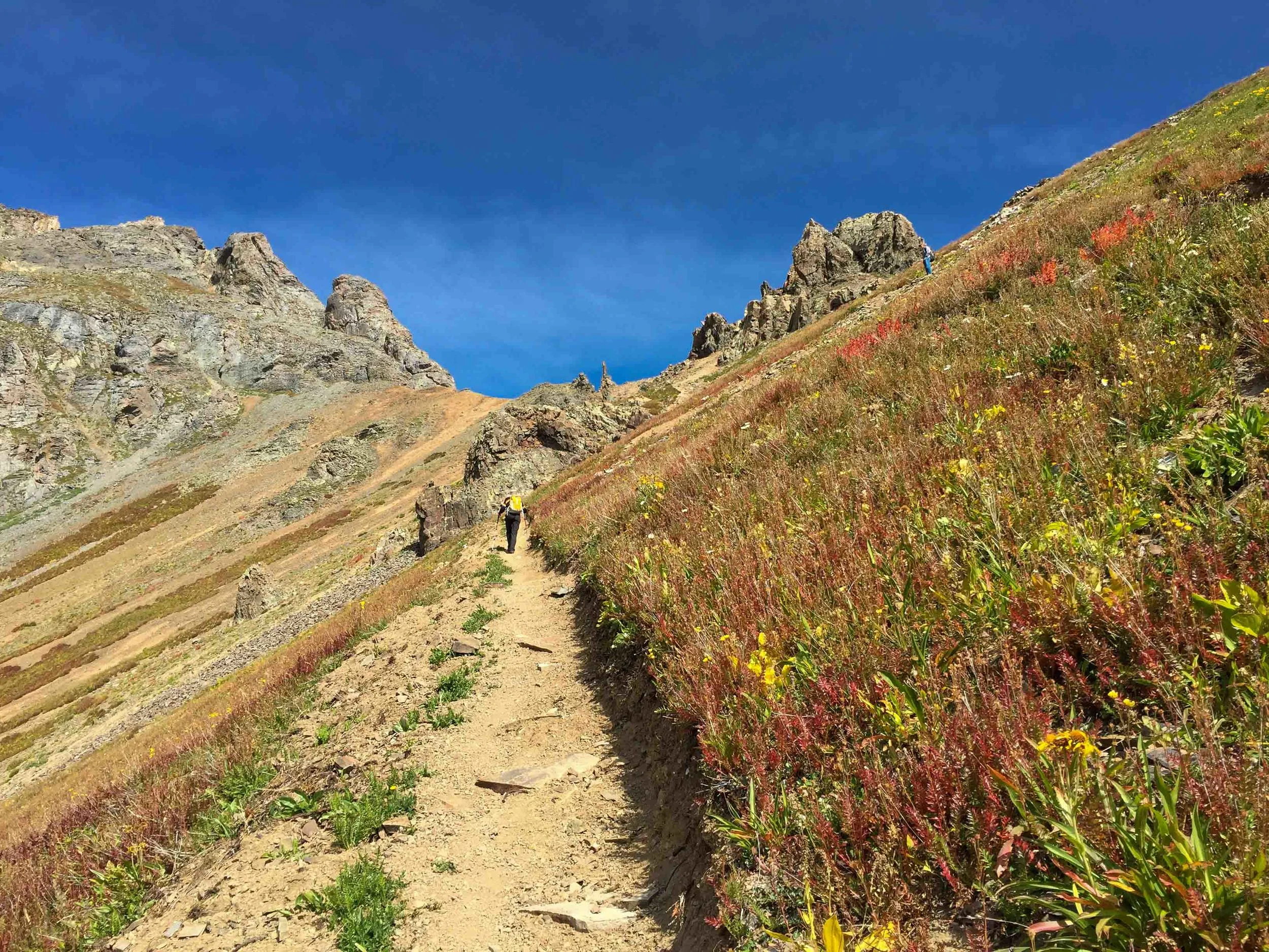
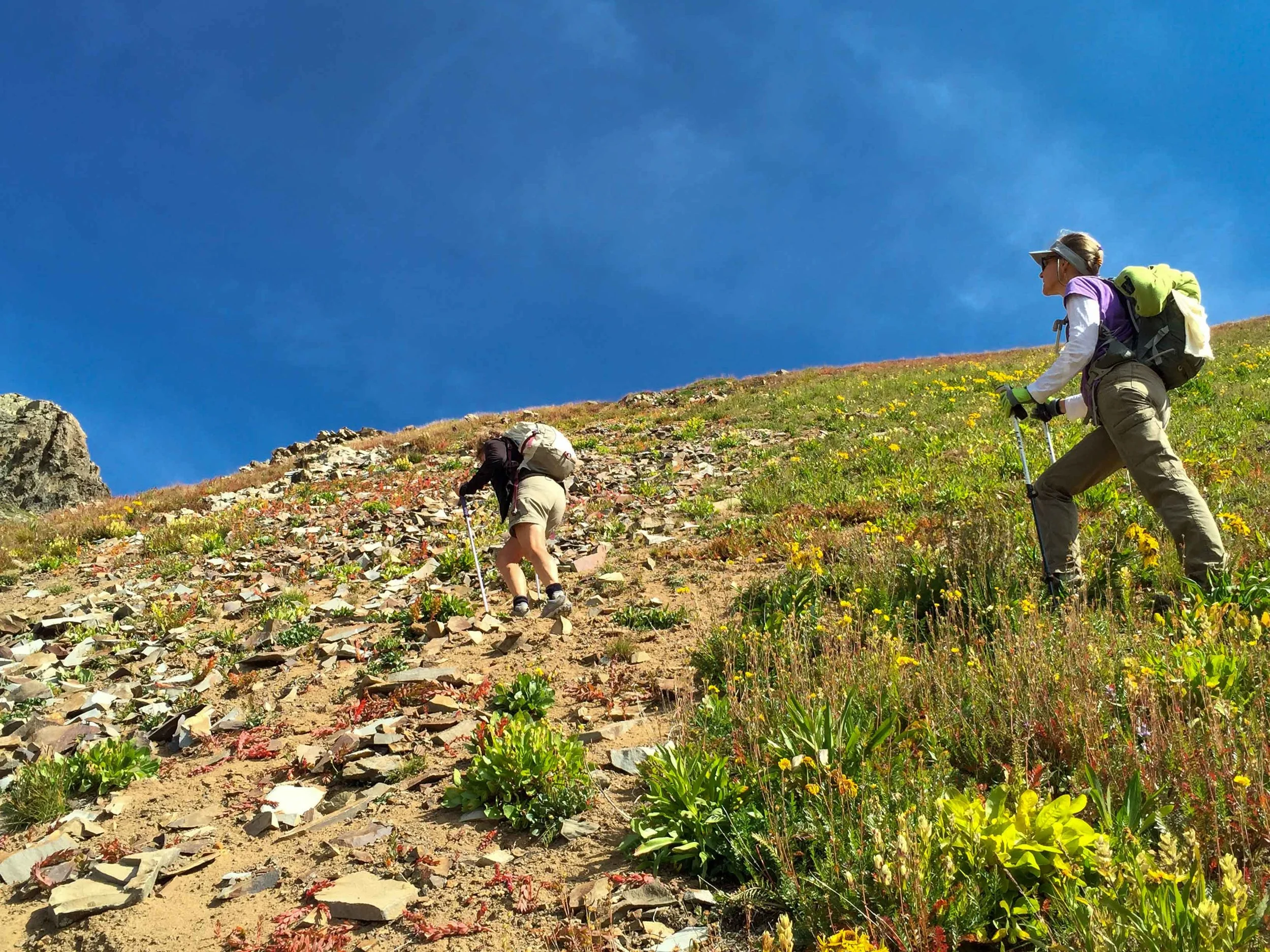
Once upon a time there was a Moxie named Jane Marie who loved to gather her friends and enemies for exploratory hikes. This date, she asked me and Penny to accompany her on a “short” hike to explore the trail from Porphyry Basin to Columbine Pass. She also wanted to find out if she would be able to drive her jeep up to the end of the road to start the hike as she plans to do this hike with another group next week. This hike started out as many others in the past: laughing, taking photos, taking in the views, discussing routes, ect. After Approx 10.5-11 miles and 8 hours later, we found we had climbed 2984’ and lost an elevation of 3546’ and reached a high point at Columbine Pass of 13,140’. Additionally, we were almost out of water, our food was being rationed and our cell phone batteries were dead. The moral of this story is don't ever leave on a hike with Jane Marie unless you have your sleeping bag, ice axe, crampons, headlamp and helmet. Always keep a car charger with you and never tell your spouse you are going on a short hike or you'll worry them to death. With that being said, It was a long but incredible day with wildflowers, waterfalls, lakes and expansive mountain views. We just didn't anticipate the large snowfields that still covered the main upper route. We hiked the lower route around the ledge to the pass but decided to try to find the route back on the upper trail. That was a mistake as there was just too much snow and too may cliffs. Luckily, Penny had her GPS to keep us on track as Jane Marie wanted us to hike "higher" and I thought we should be hiking down "lower". In a few weeks after all the snow has melted, I highly recommend attempting this hike as it is Colorado at it's finest.
OPUS HUT TO RUBY LAKE
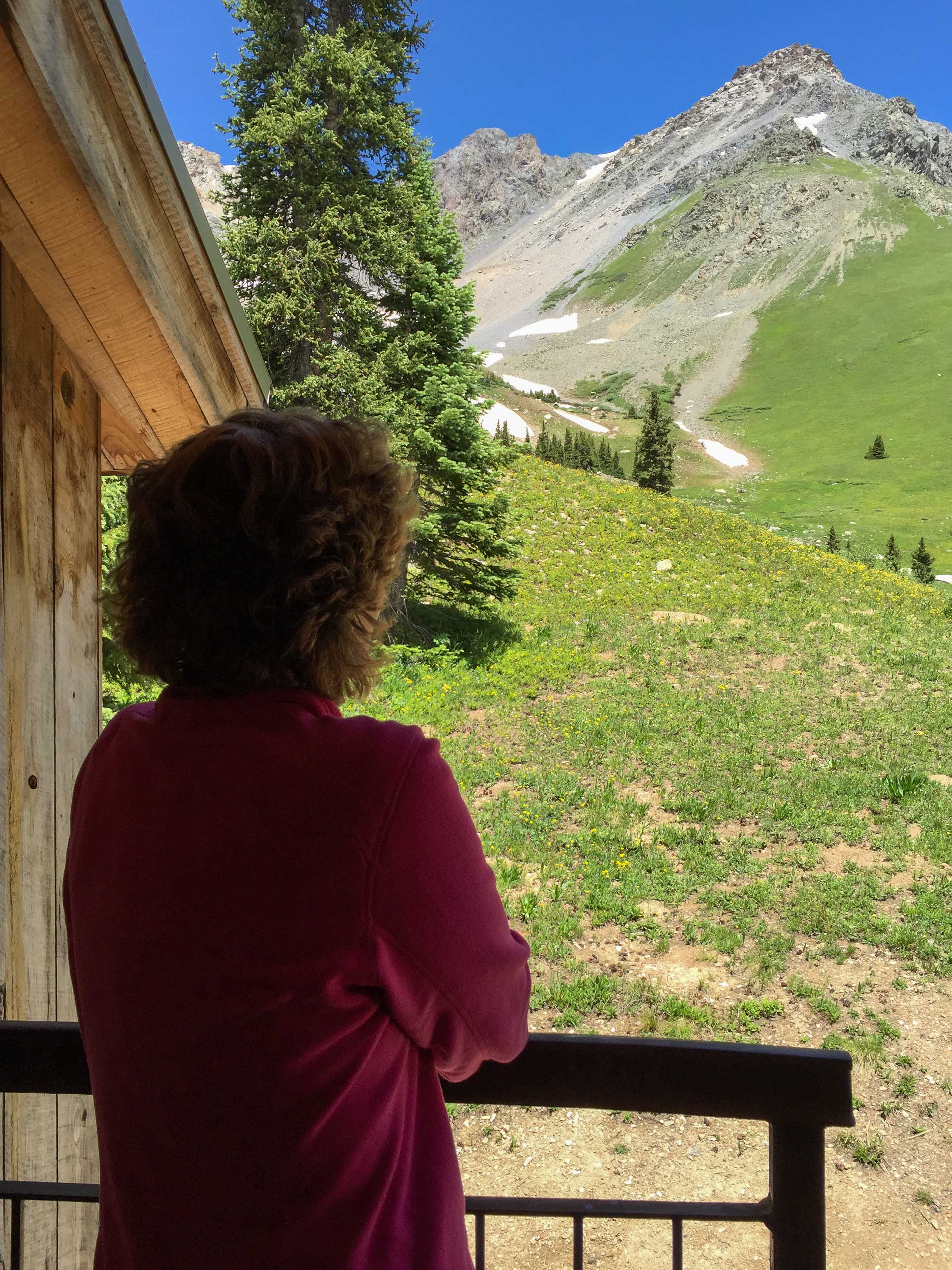
Today's hike, located off Ophir Pass, was a short but intoxicating ramble that lead the Moxies from Opus Hut (11,600") to the beautiful, pristine Ruby Lake at approximately 12,000'+. The total mileage was about 3.5 miles round-trip including exploring around the lake. The trail is narrow, goes through talus and has "coming around the mountain" type ledges. The entire hike provided panoramic views, wildflowers and even a tour of the Opus Hut. The weather was beautiful although a bit windy. A big Thank-you is due to our leader, Margaret and our drivers: Margaret and Michelle. Poor Michelle had two backseat drivers in her jeep who demanded she hug the yellow line driving along highway 550 into Silverton and wouldn't let her drive faster than 25 mph all day long. This was Michelle's first time driving up to Ophir Pass and she did a wonderful job. The ride down Ophir Road did get much smoother after she remembered to take her emergency brake off. (We love you Michelle!!) Another wonderful day in the mountains with a great group of friends.
(Click on Images below to open in Lightbox-hover bottom of photo for caption)


BLACK BEAR ROAD TO BLACK BEAR PASS
Today the Moxies hiked Black Bear Road for a total of 6.4 miles RT. The hike started at Red Mountain Pass at an elevation of 11,018' and ascended to Black Bear Pass at 12,840'. The weather was absolutely perfect with sunny skies and light winds. It was a great day in the mountains with a great group of friends.


GROUSE GULCH
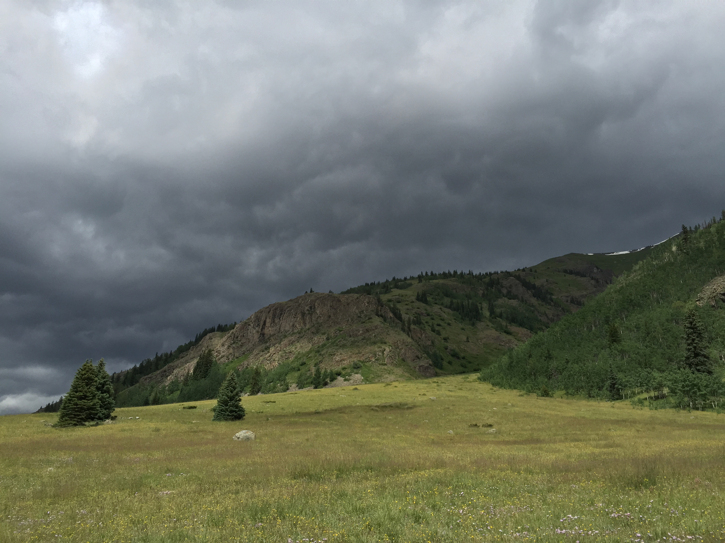
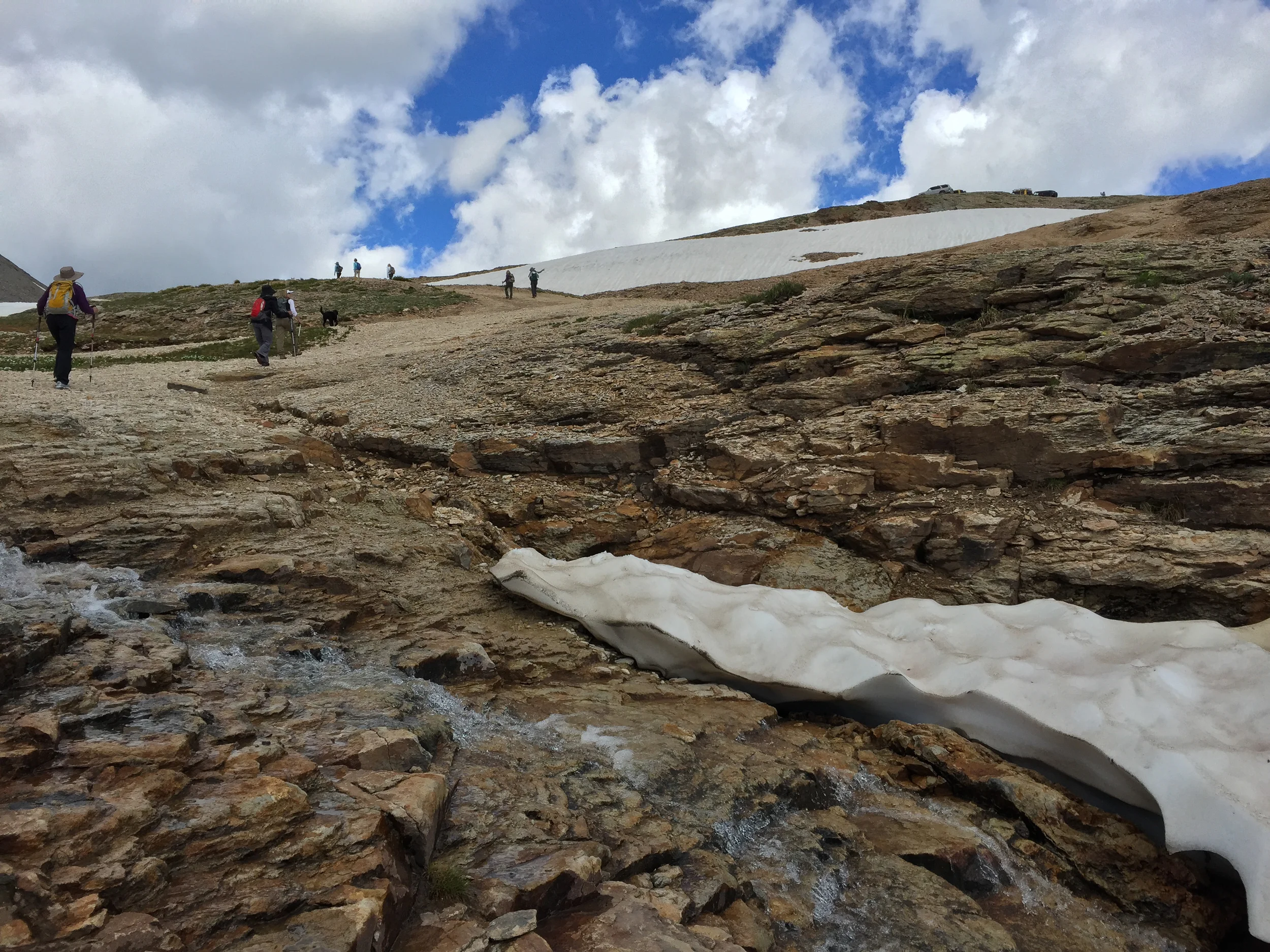
The Grouse Gulch trailhead is located NE of Silverton, Co. The Hike starts at 10,800' and is 1.9 miles to the lake which is at an elevation of 12,480' and 2.4 miles to the saddle at 13,040' It was a steep demanding hike and there were a few snowfields left that we had to circumvent. The Moxies headed up the trail around 10:00 am. The views were incredible, the lake still snowy and icy and the wildflowers were starting to bloom above the lake near the saddle. Unfortunately, storm clouds, lightening and nearby rain cut the day short. We made it down in less than half the time it took for us to go up.


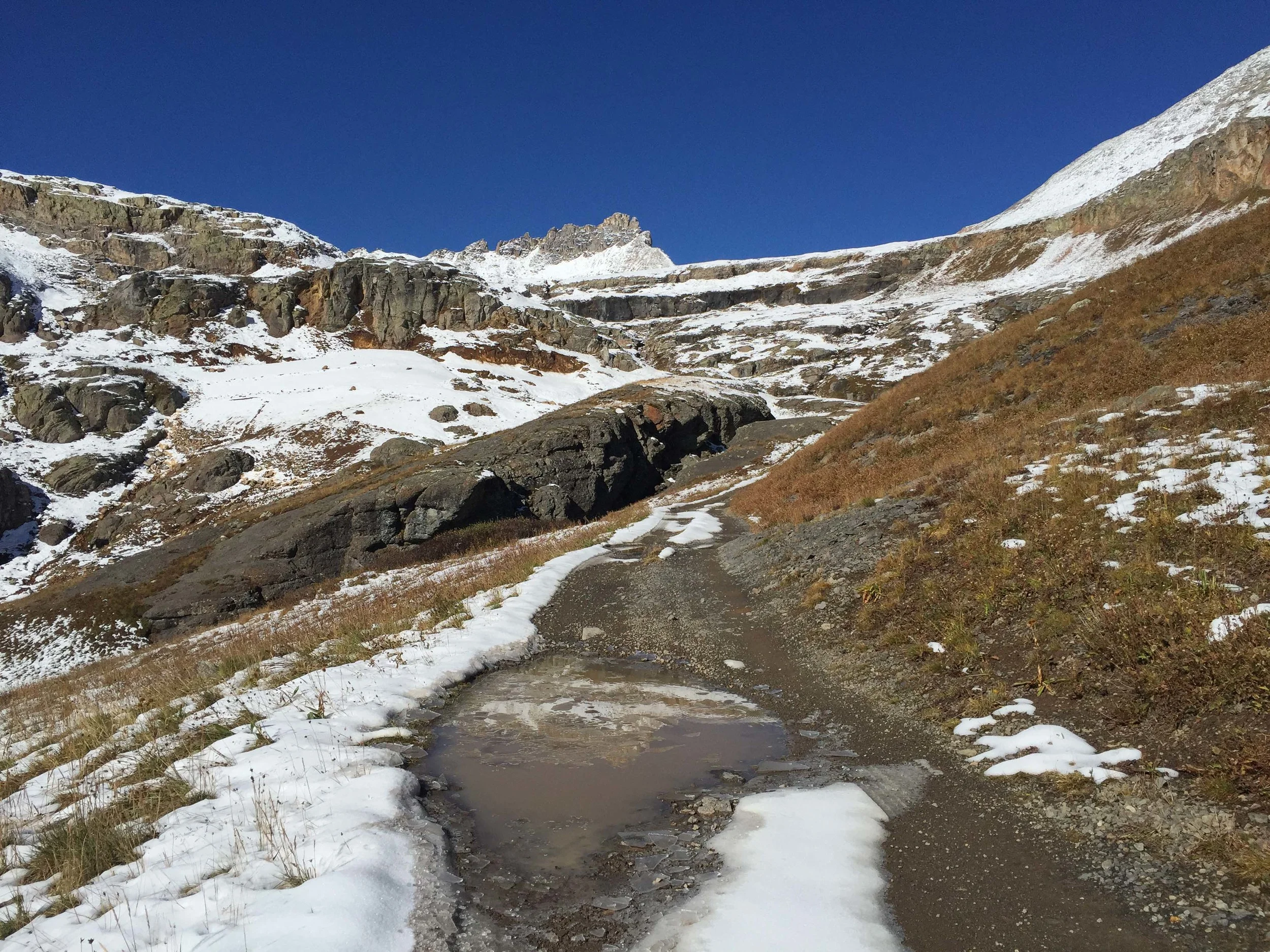
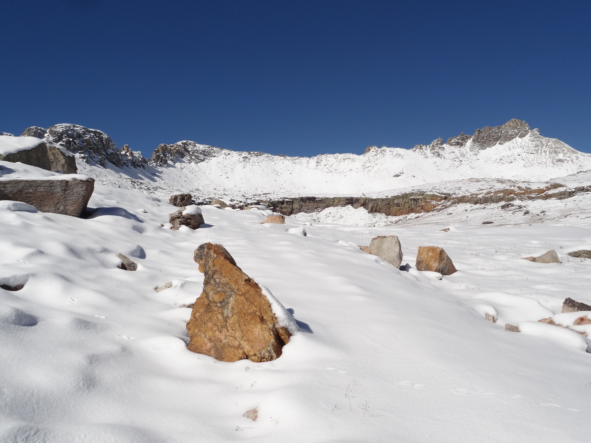
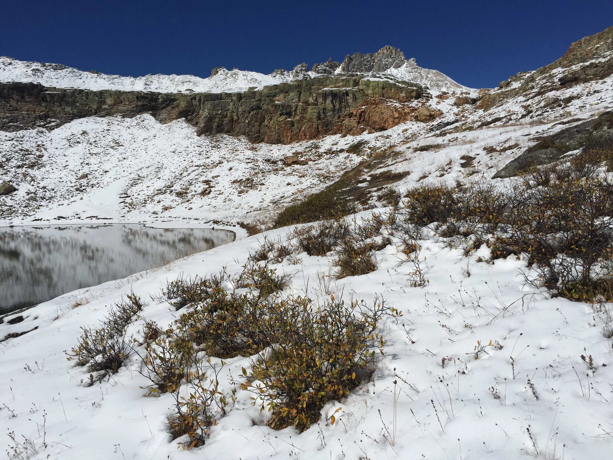
PORPHYRY BASIN-October 8, 2015
After a couple days of rain and wanting to get in one last "high" hike before heading back to Phoenix, Zarita and I decided to hike up to one of our favorite alpine lakes: Bullion King. I only brought my iPhone as ultimately we were hoping to look for rocks instead of take photos. Our hike started out like many others but we were shocked to find the road/trail completely covered with approximately 4-5 inches of snow. Obviously, we didn't look for rocks but we did get an early adventure into the snow. I sure wish we would have brought our snow shoes.


JUD WIEBE MEMORIAL TRAIL #432-September 28, 2015
The Jud Wiebe trail is one of my favorite fall hikes that is accessed right out of Telluride. It is a 3 mile loop that is rated Moderate-strenuous and gains 1300 feet of elevation. The trail leads through aspen trees and wide open meadows and provides panoramic views of Telluride and the surrounding area. At the 10,000’ highpoint an overlook bench awaits where you can sit and take in these views. The trail was named in memory of Jud Wiebe, a Forest Service recreation manager who planned the trail but passed away of cancer in 1986 before the trail was complete.


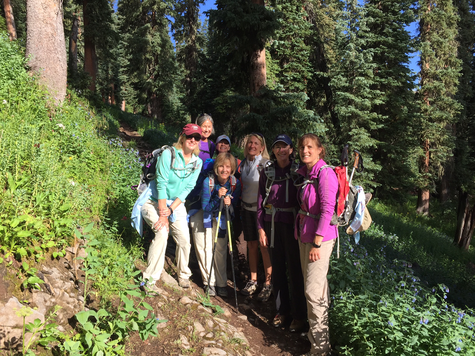
DEER CREEK TRAIL #678-September 27, 2015
Deer Creek can be hiked as an out and back trail or connected with other trails like Coal Creek and Engineer for loop hikes. The trail ascends steeply through a large aspen grove and then switchbacks up a gully right above a small limestone cliff band. The trail continues through some meadows and provides some great stopping points with views of the West Needles Mountains and Hwy 550 winding up toward Molas Pass. This is a favorite fall hike.


RICHMOND PASS TRAIL-September 25, 2015
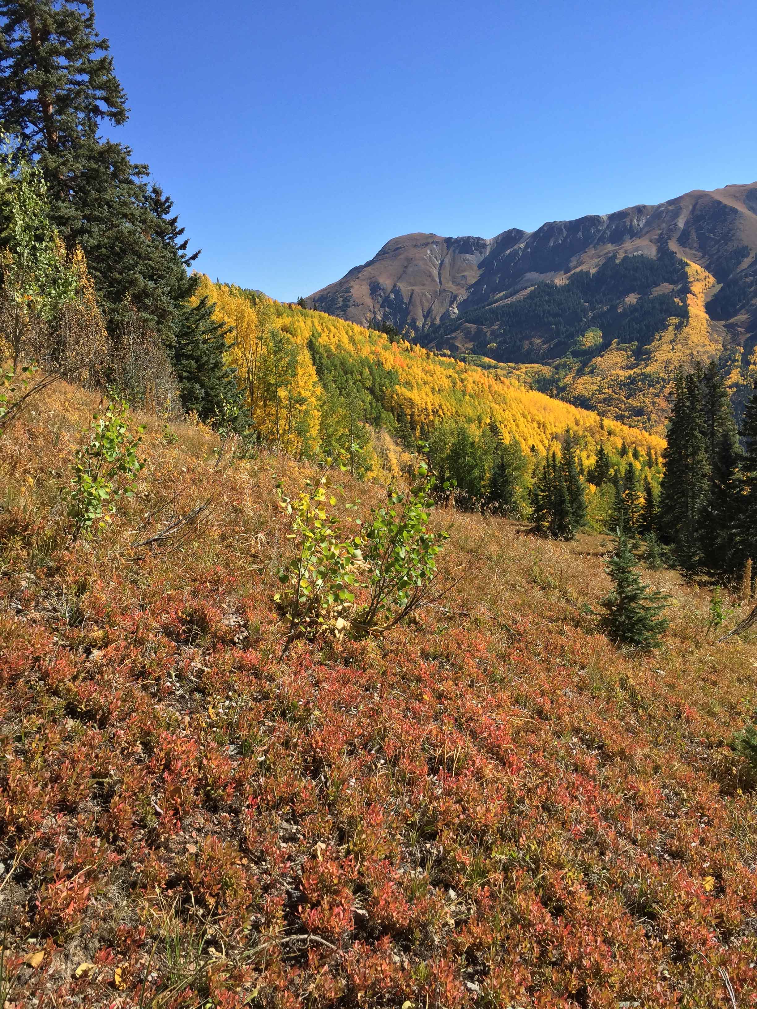
The Richmond Pass trail has it all: alpine access, peak access, aspens that turn golden yellow in the fall and wildflowers bursting with color in the summer. The distance is 2.4 miles one way with an elevation gain of 2807’. The trail starts up a series of relentless steep switchbacks through an aspen covered slope. Eventually after continuous steep climbing the aspens thin out and spruce trees prevail before entering the meadow and alpine area. The views of Red Mountain and the Ironton region are amazing from the meadow and pass. From the pass, you can scramble up to Hayden Peak another .6 mile and 600+ feet of additional elevation gain. This is one of my favorite fall hikes.


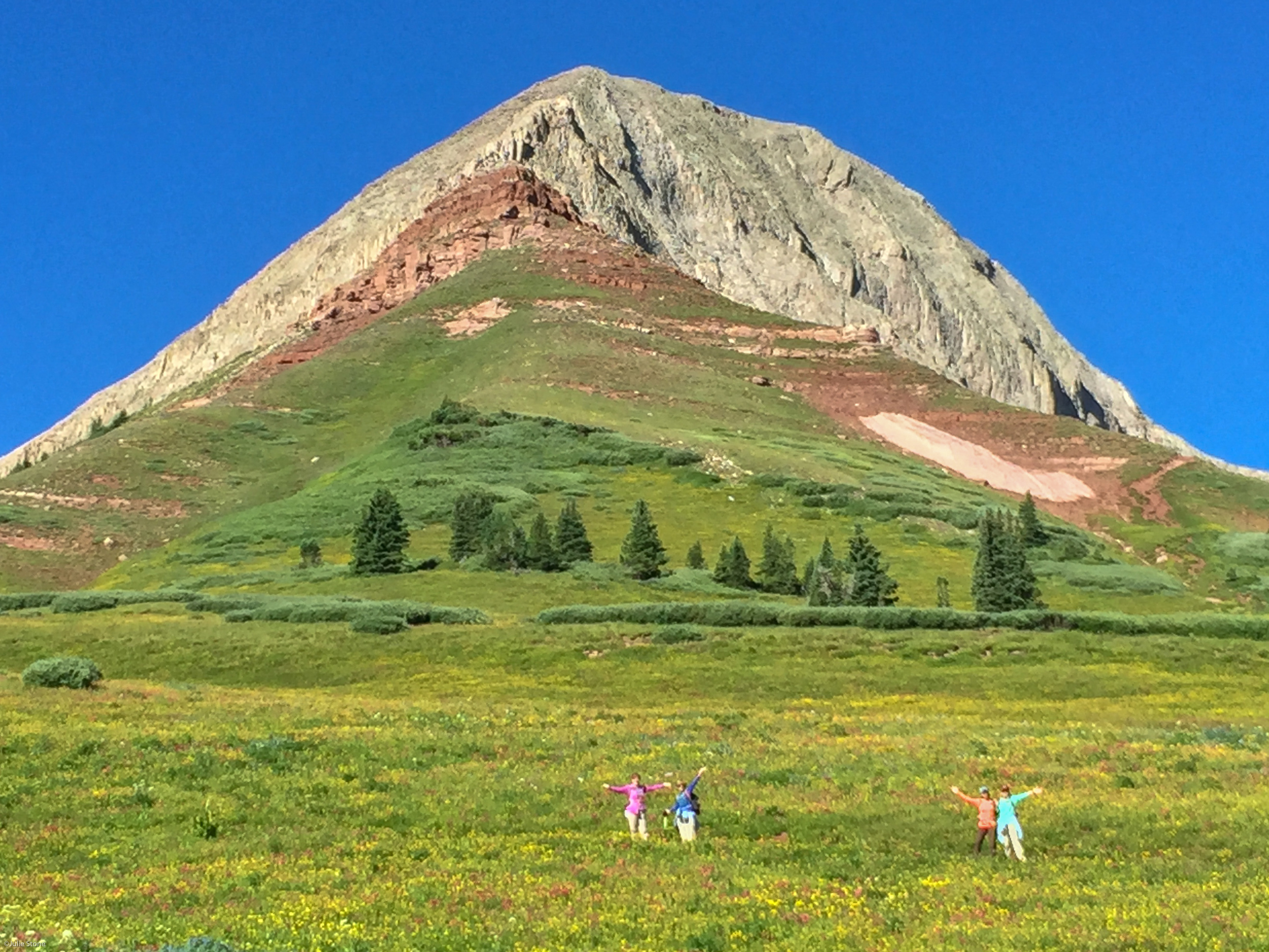
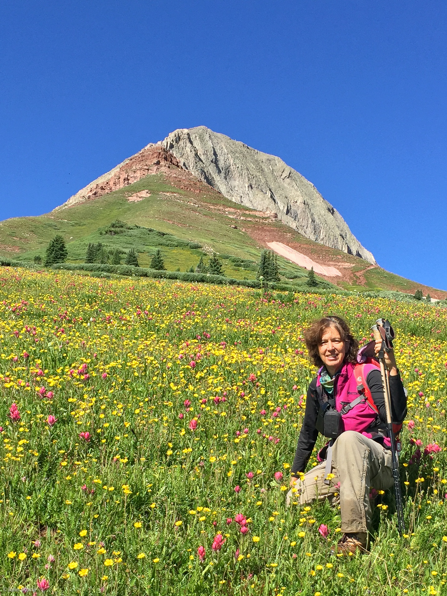
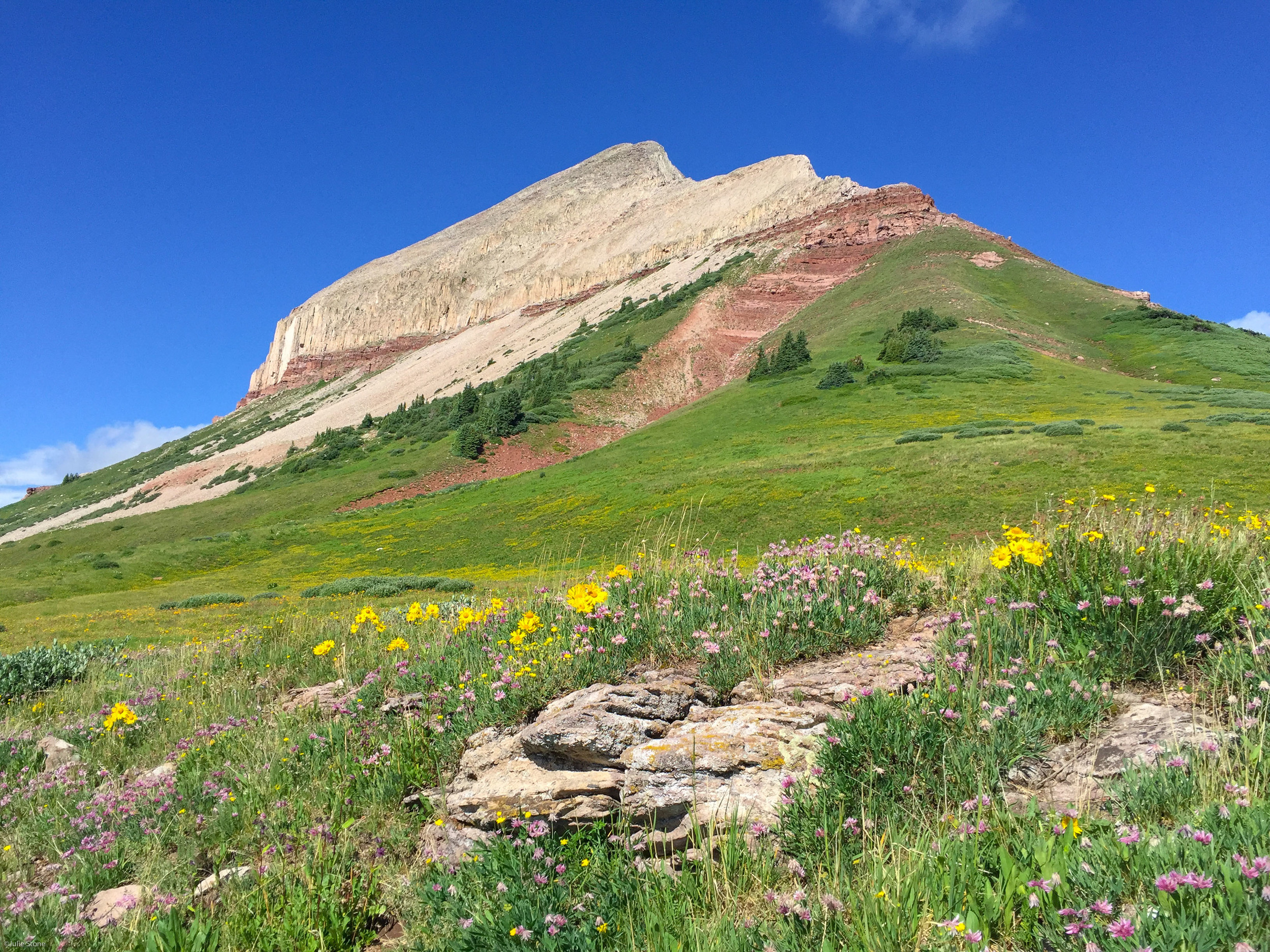
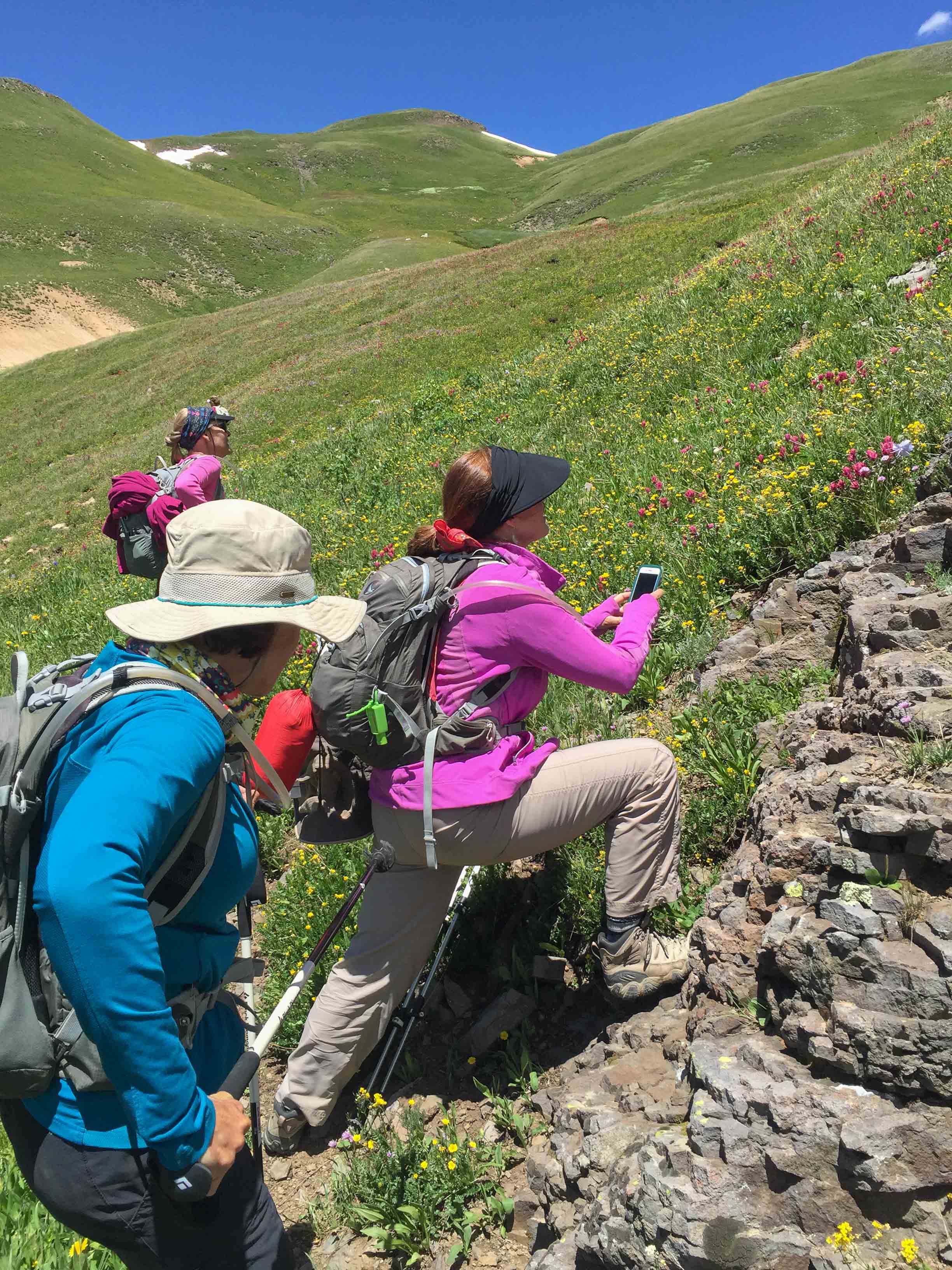
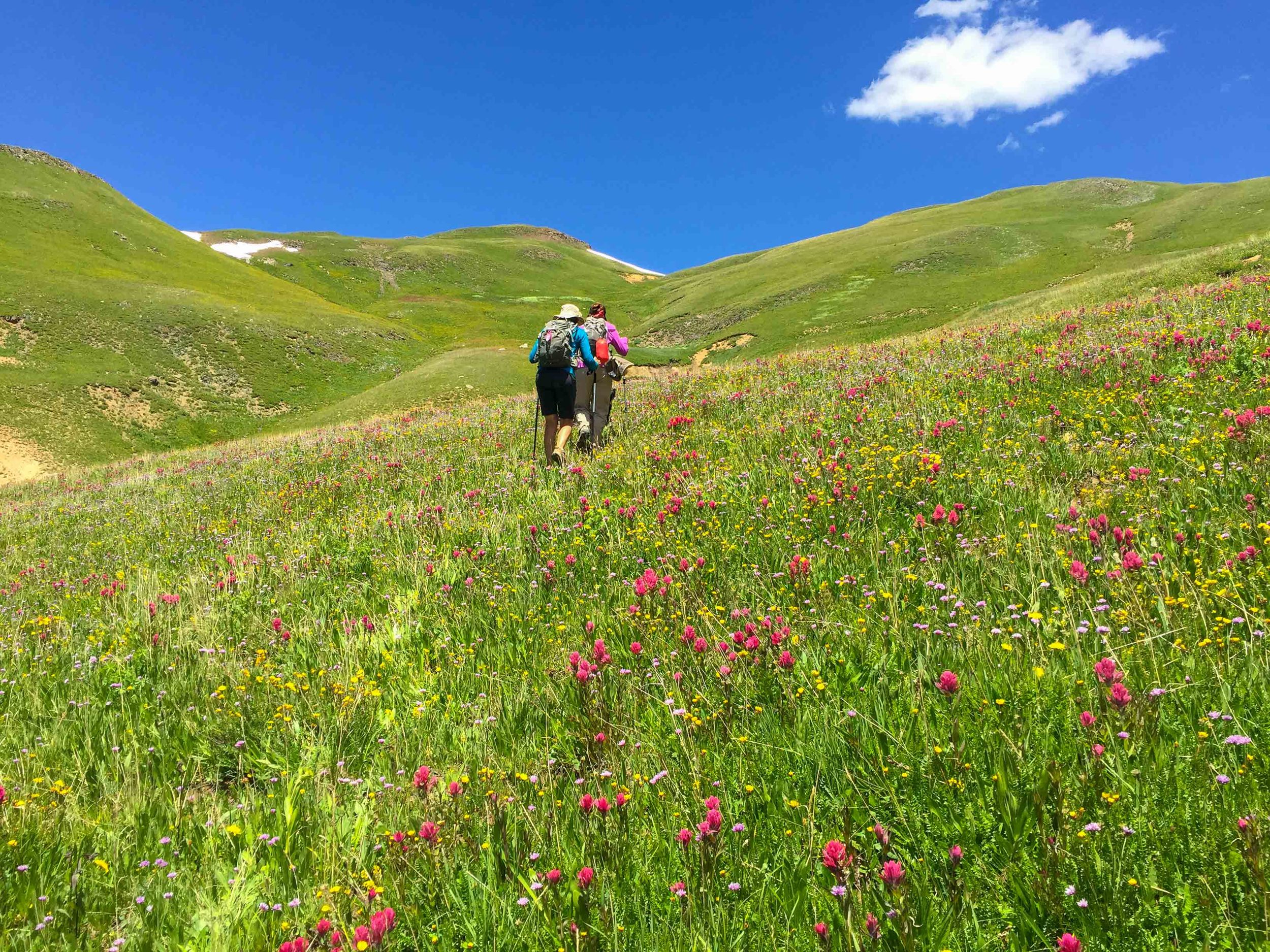
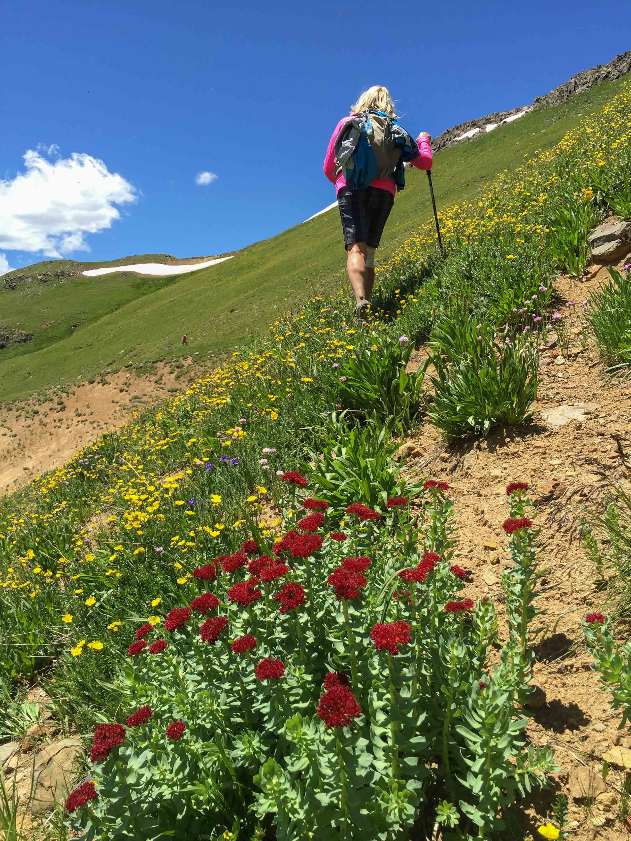
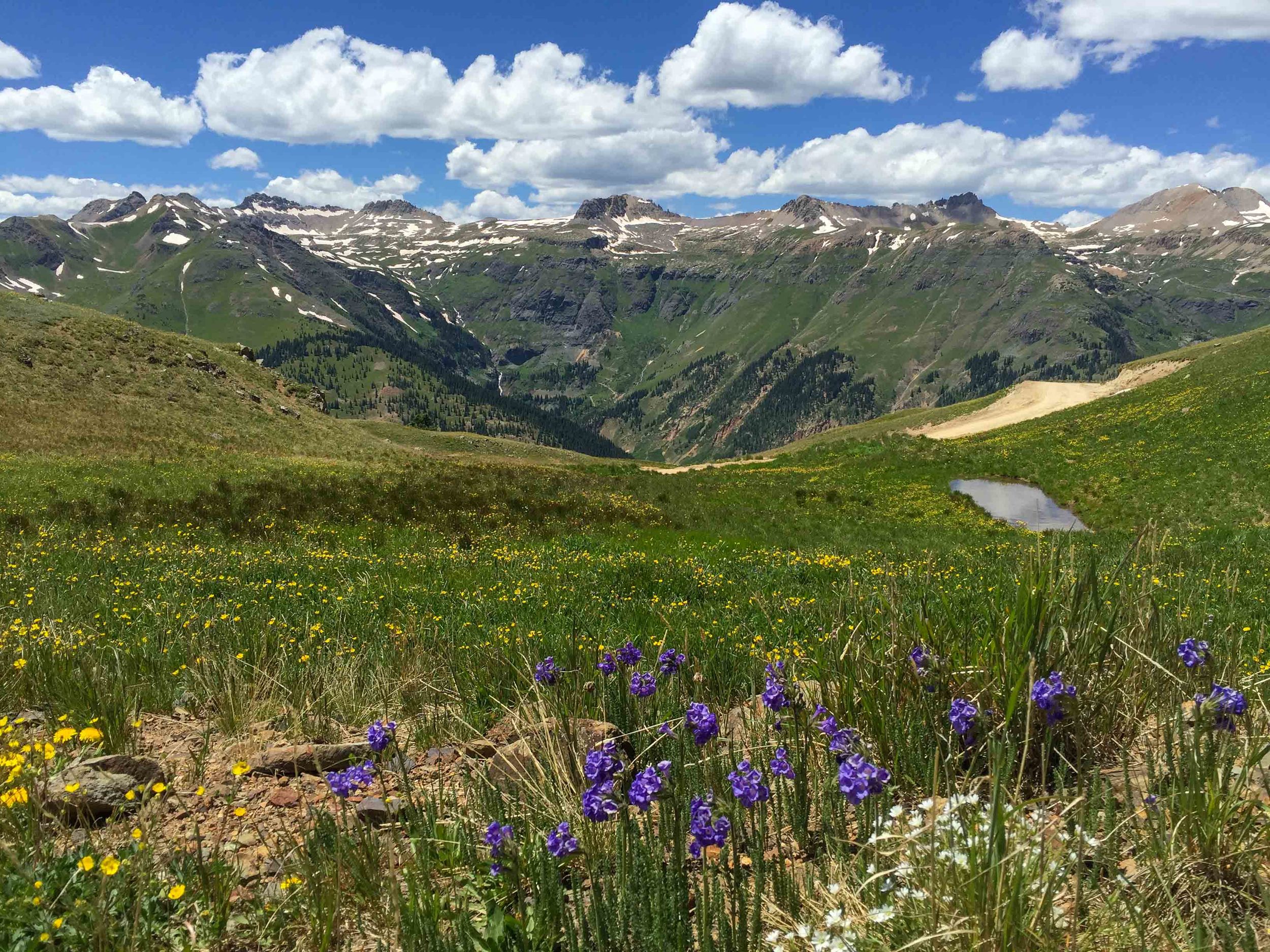
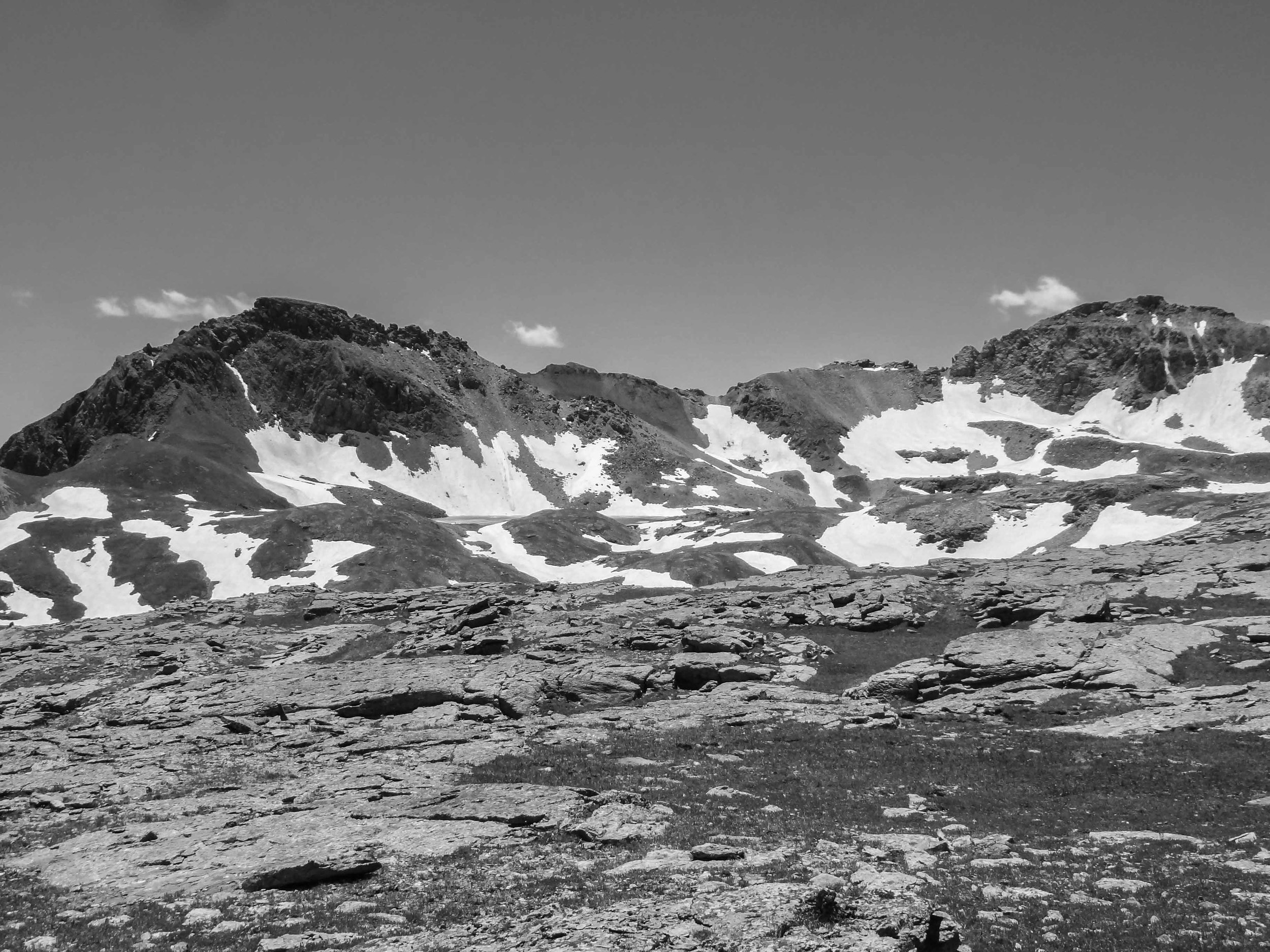
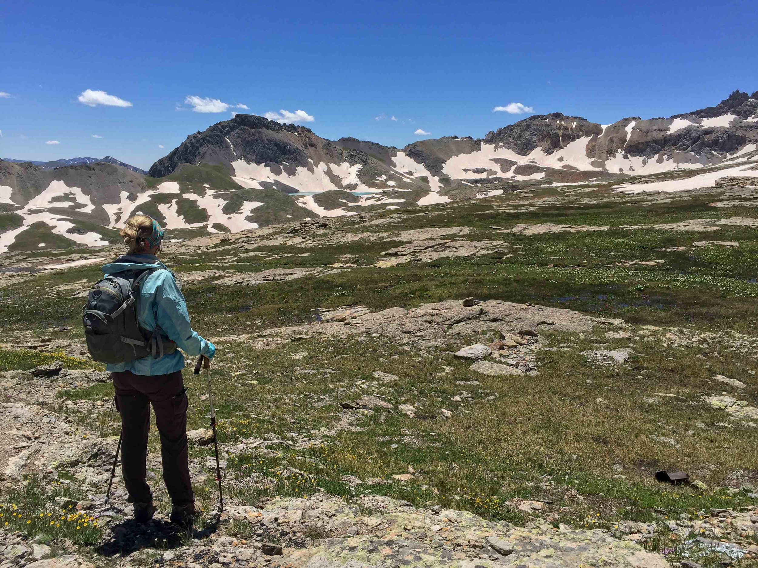
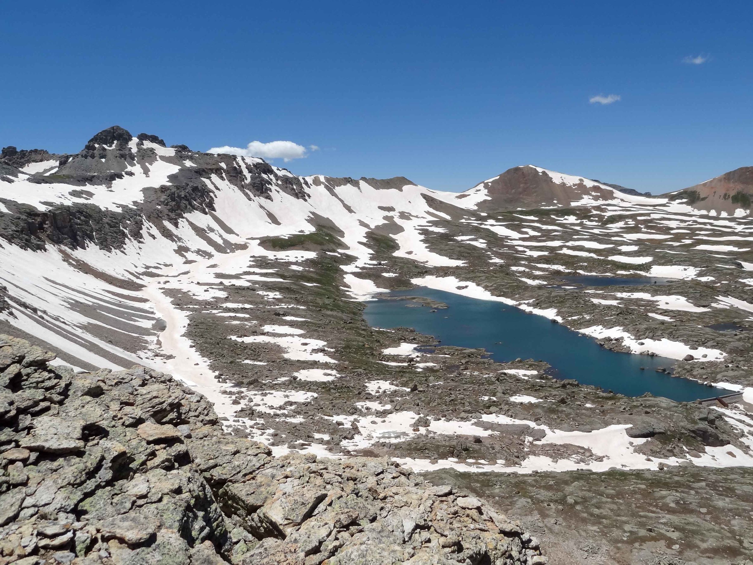
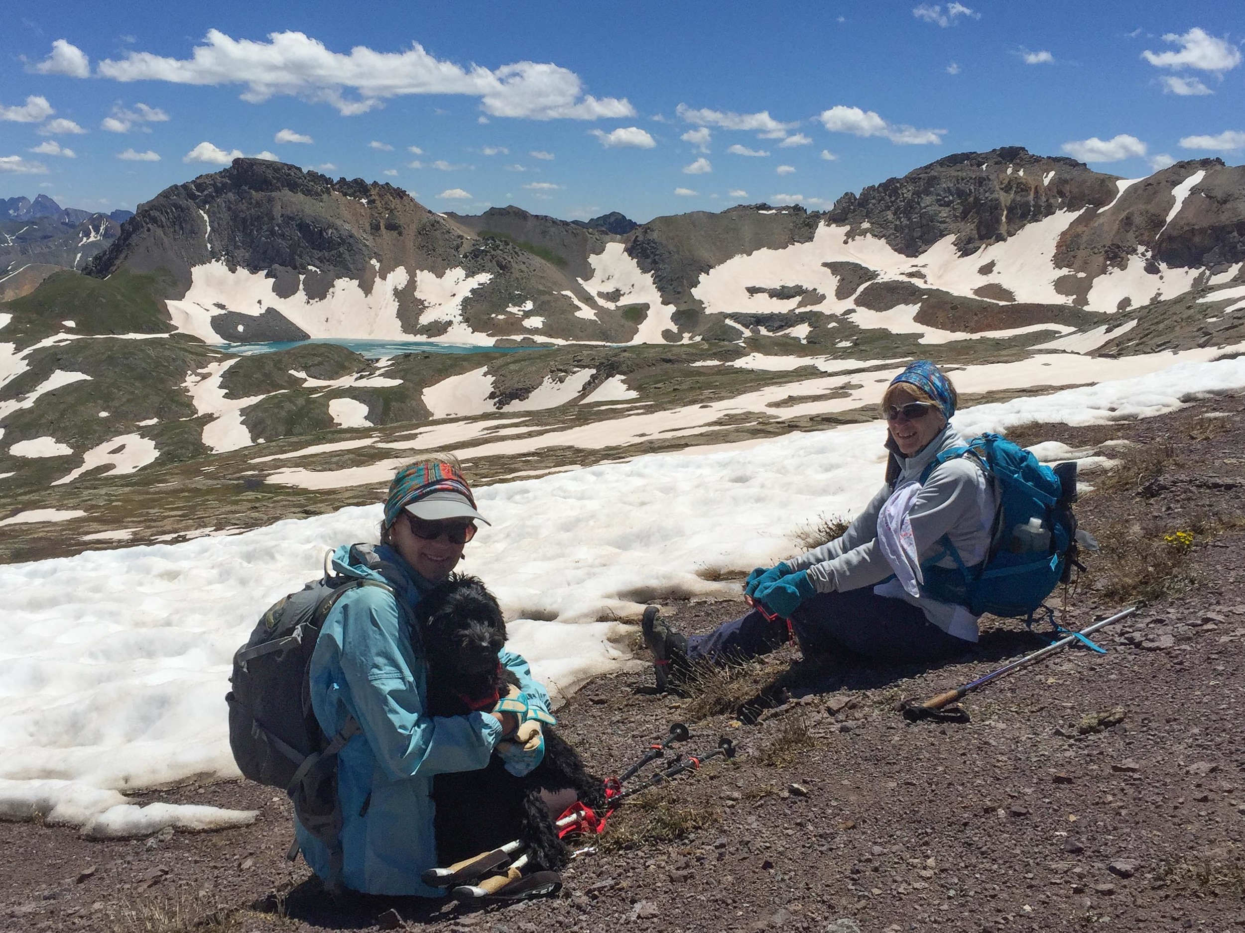
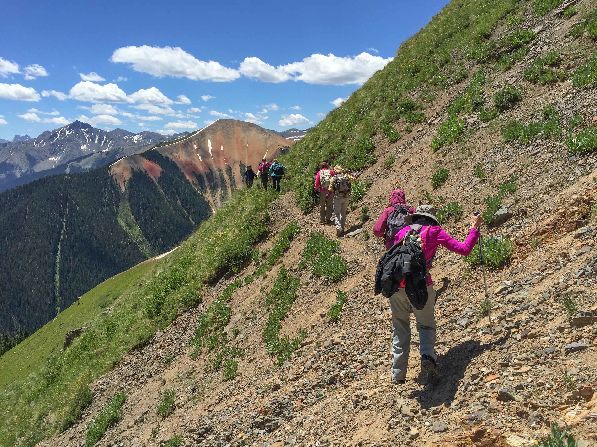
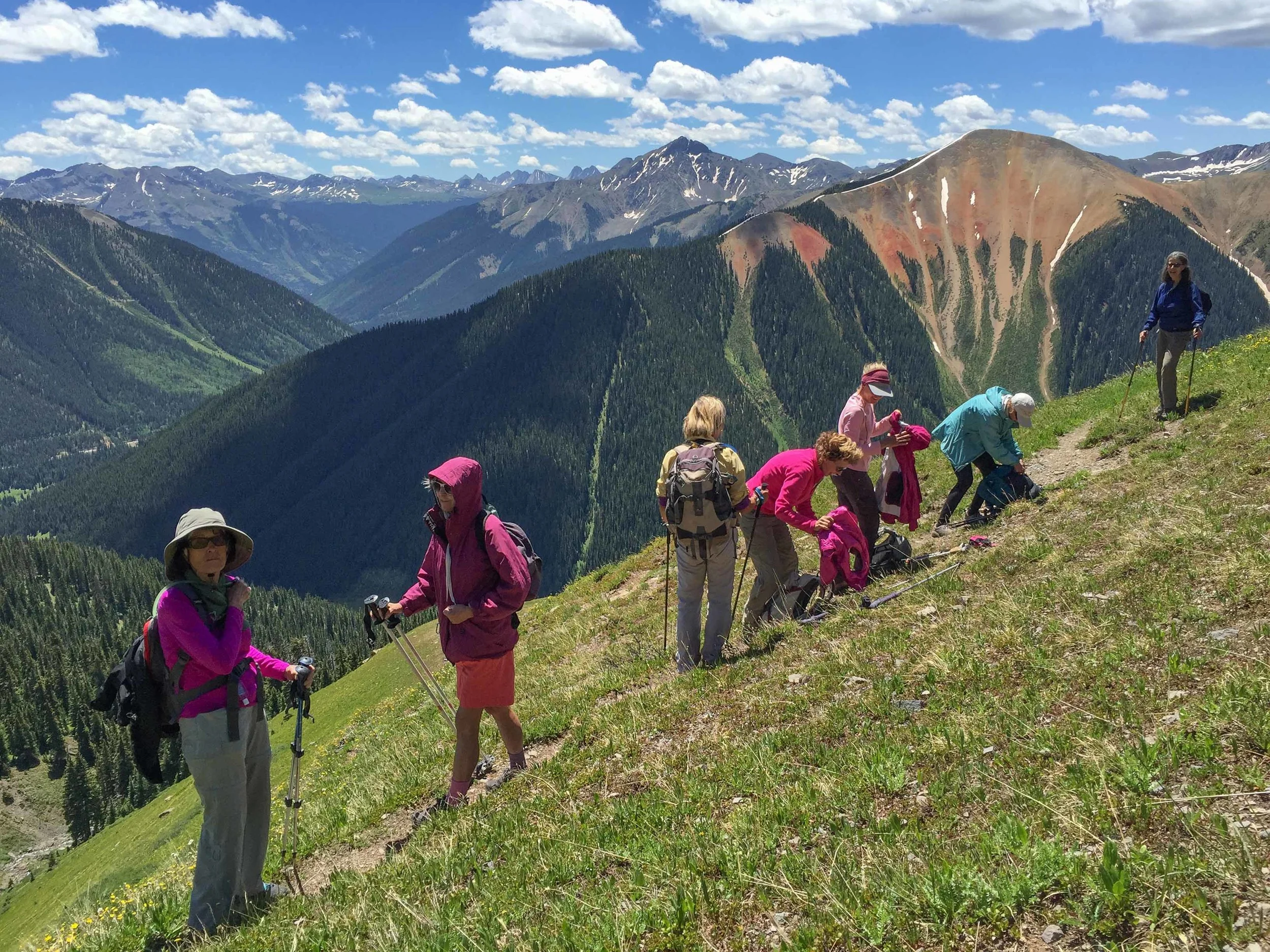
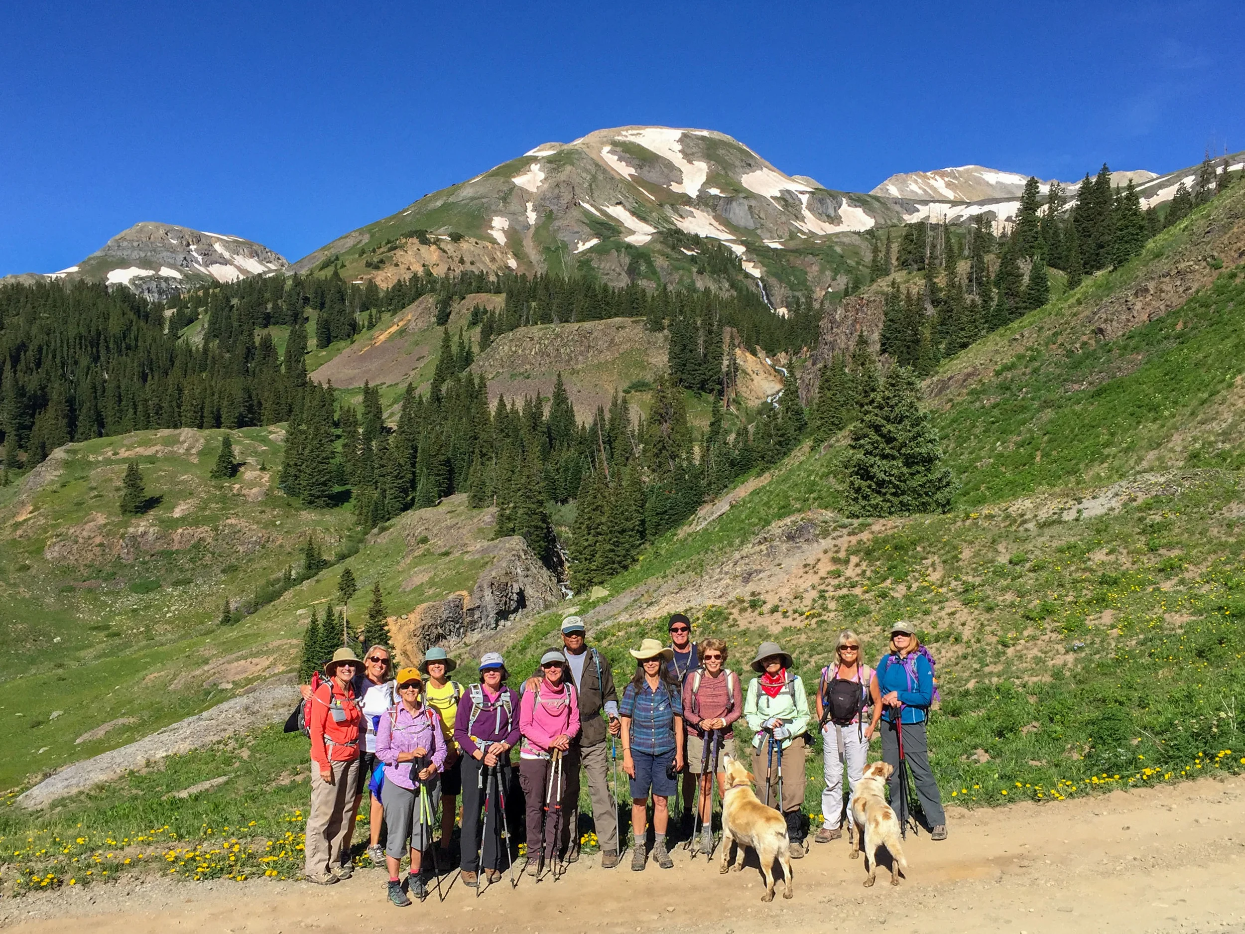
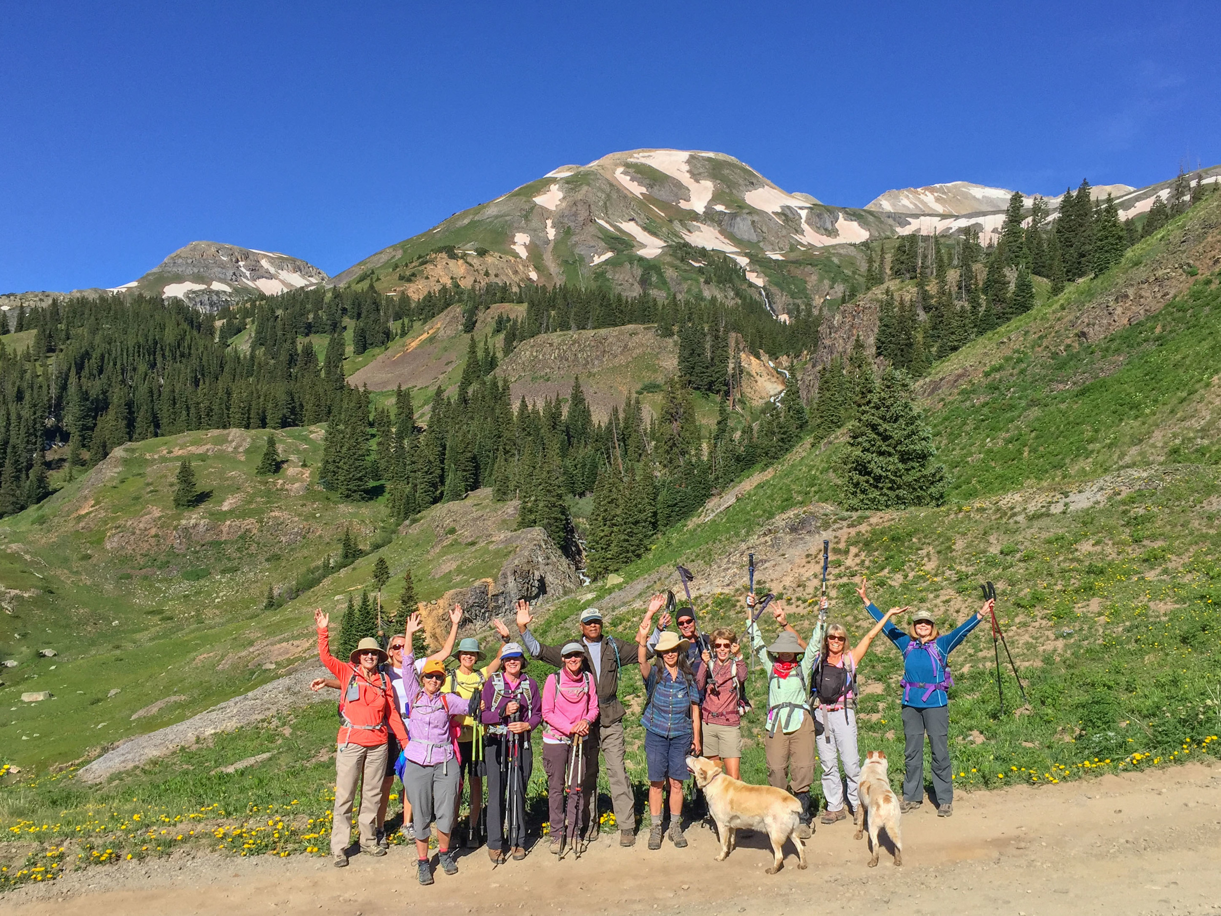
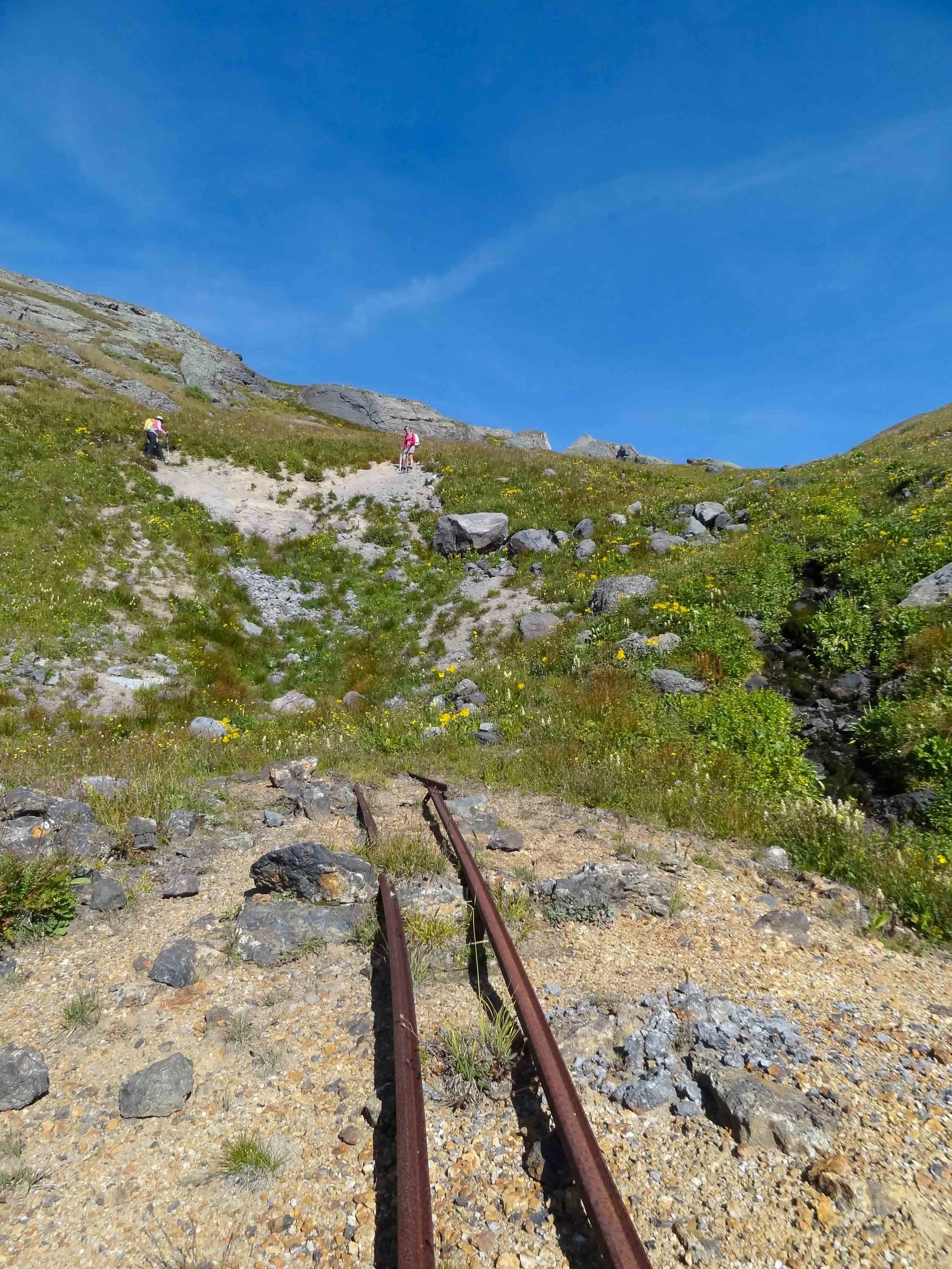
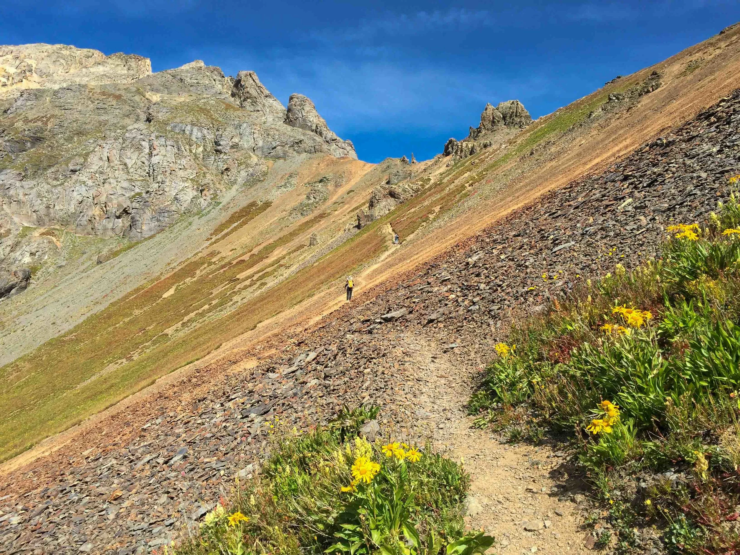
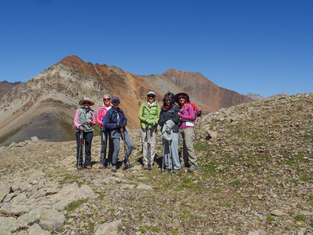
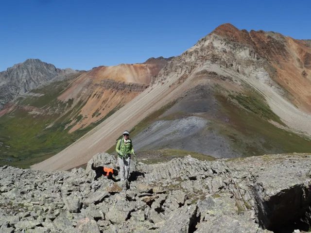
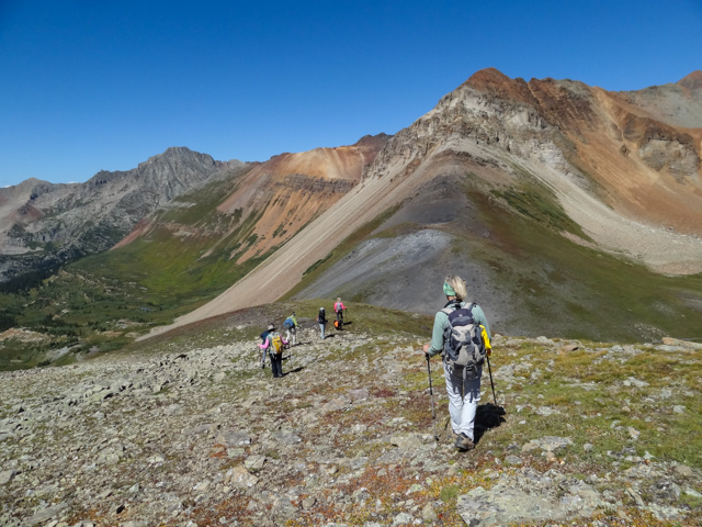
ISLAND LAKE TO V2 TO CLEAR LAKE LOOP September 13, 2015
Well here's to say that all the reports are true. If you are looking for a front seat in the parade of jagged peaks then this hike is for you! From V2, elevation 13,309', there are spectacular views of Fuller Peak, Vermillion Peak, Golden Horn, Pilot Knob and many others plus from V2 you get views of all the surrounding lakes including Ice Lakes, Fuller Lake, Island Lake and Clear Lake. Jane Marie, Barbara, Dave, Candy and I hiked a loop from Clear Lake Road to Island Lake to Swamp Pass to V2 and down the steep relentless scree to Clear Lake and then back down Clear Lake Road to our cars. The exact mileage and elevation is unclear but we figure that we hiked approximately 8.5 miles and climbed about 3000'. Luckily, we had great weather to make the summit. The route we hiked is shown below:


RICO-SILVERTON TO ROLLING PASS September 9, 2015
The Rico Silverton Trailhead is located two and one-half miles beyond South Mineral Campground near Silverton Colorado at an elevation of 10,680'. The hike is highly rewarding in beauty with waterfalls, expansive wildflowers in the summer months and the scenery of the nearby peaks including Rolling Pass(13,693') and Twin Sisters (13,432' and 13,374') The Moxies including Jane Marie, Bella, MaryAnne, Barbara, Marianne "Spence", Mary P, Michelle and Julie headed up to Rolling Pass and the unnamed Peak above the pass. On route to the trailhead, we stopped at the gas station in Silverton and some of the Moxies bought new colorful neck scarfs that matched their hiking attire and sported them during the hike. It was a sunny, beautiful day that was much appreciated after all the cloudy and rainy days of the past week.


KANSAS CITY MINE September 7, 2015
The Kansas City Mine Trail is on a jeep track that goes up Georgia Gulch to an old mine. You can hike beyond the mine to the Ridgeline. The trailhead is at 10,328', the mine is at 11,768' and the top ridgeline is 12,400' It is approximately 4 miles RT. Moxies: Jane Marie, Margaret, MaryAnne, Angela & Julie hiked the route up to the Ridgeline and enjoyed the expansive views of the Red Mountains and surrounding Peaks. It was cloudy and windy. We got sprinkled on for a short time during our climb up to the ridge.


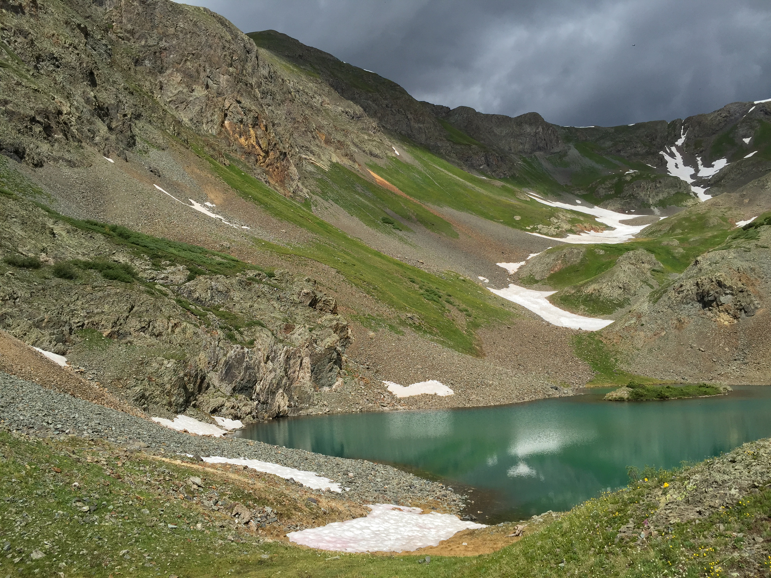
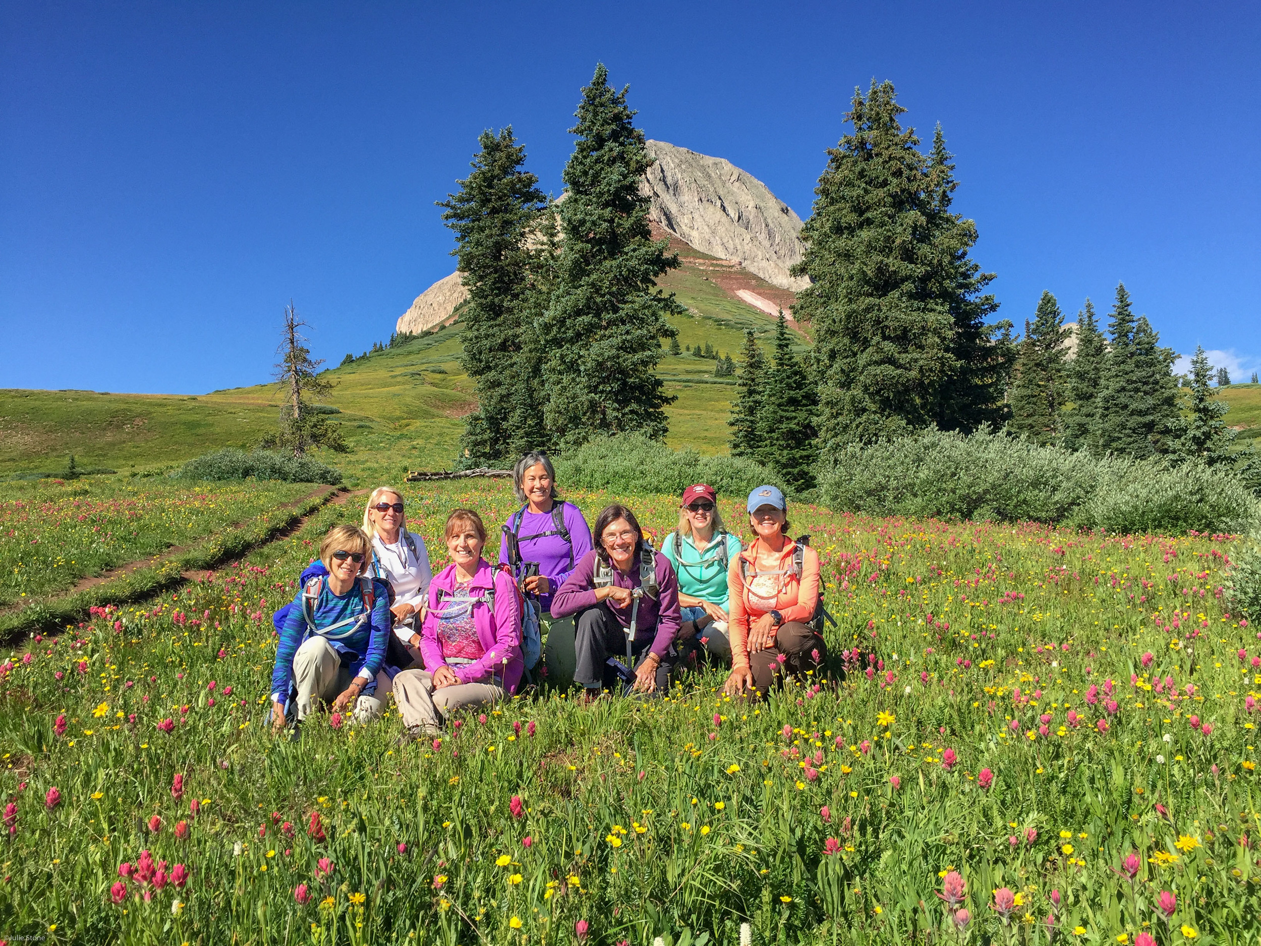
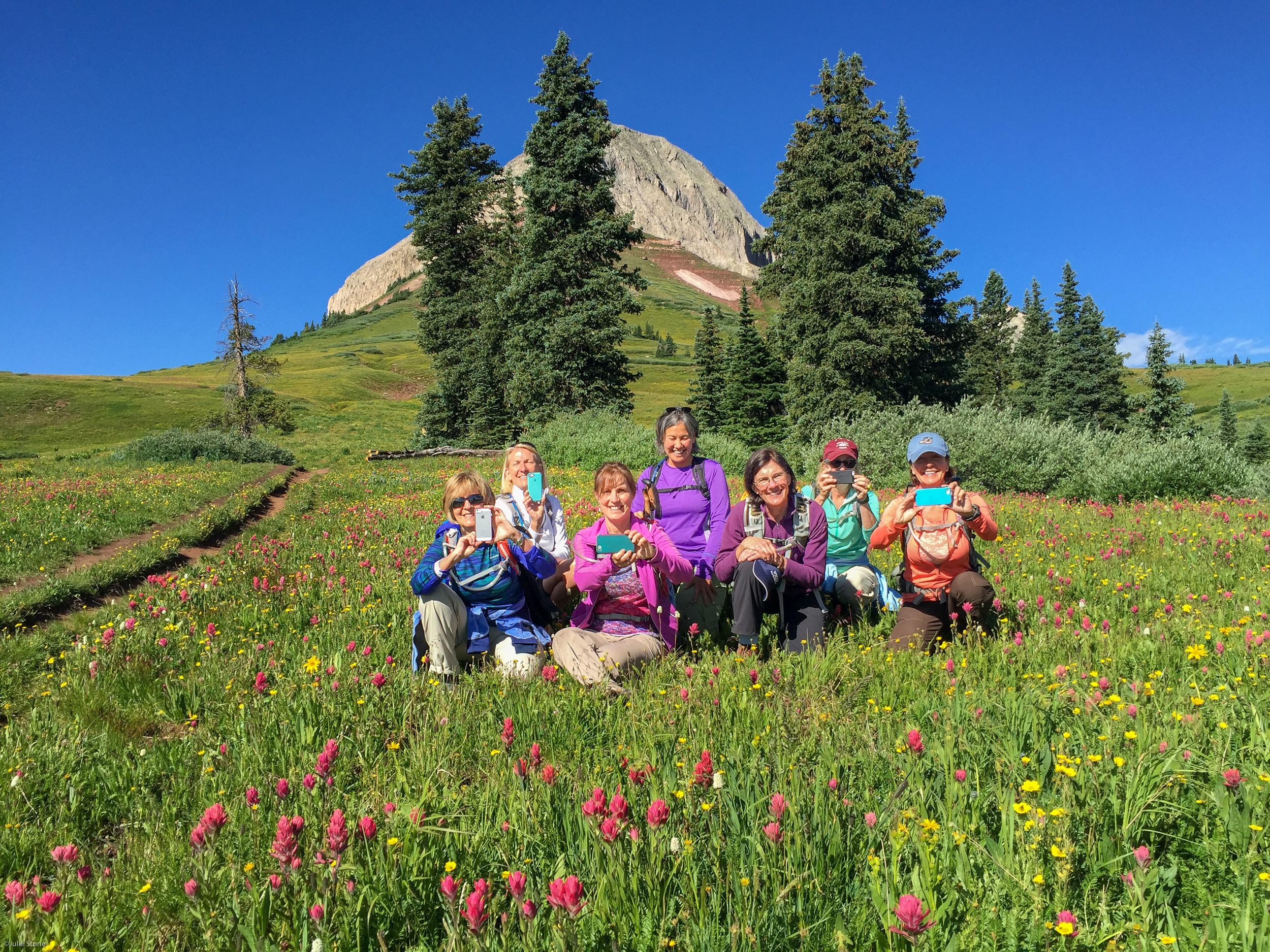
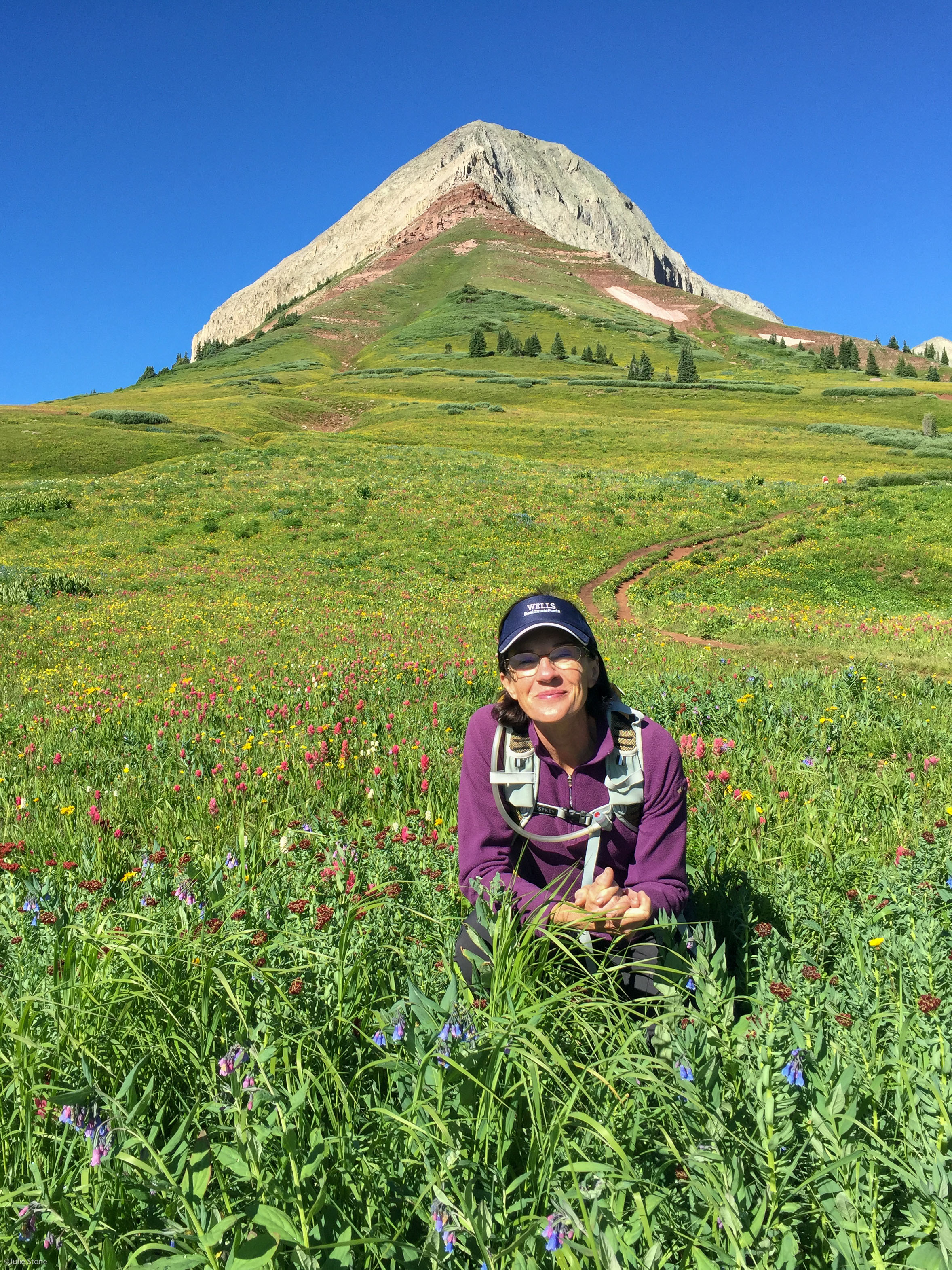
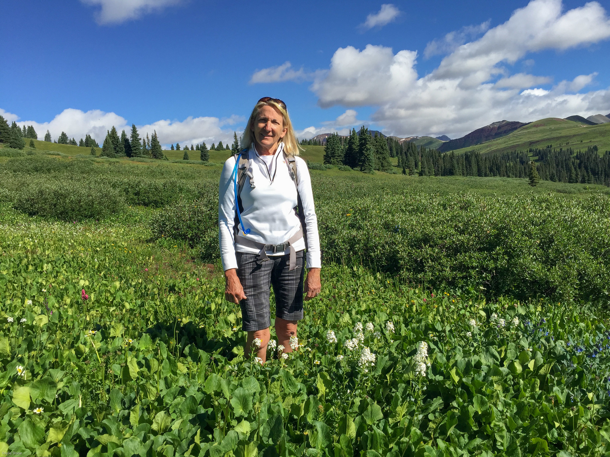
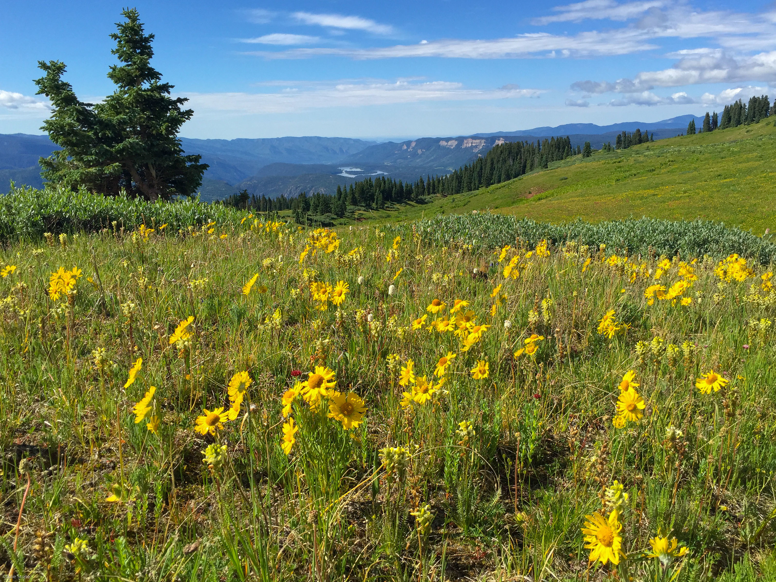
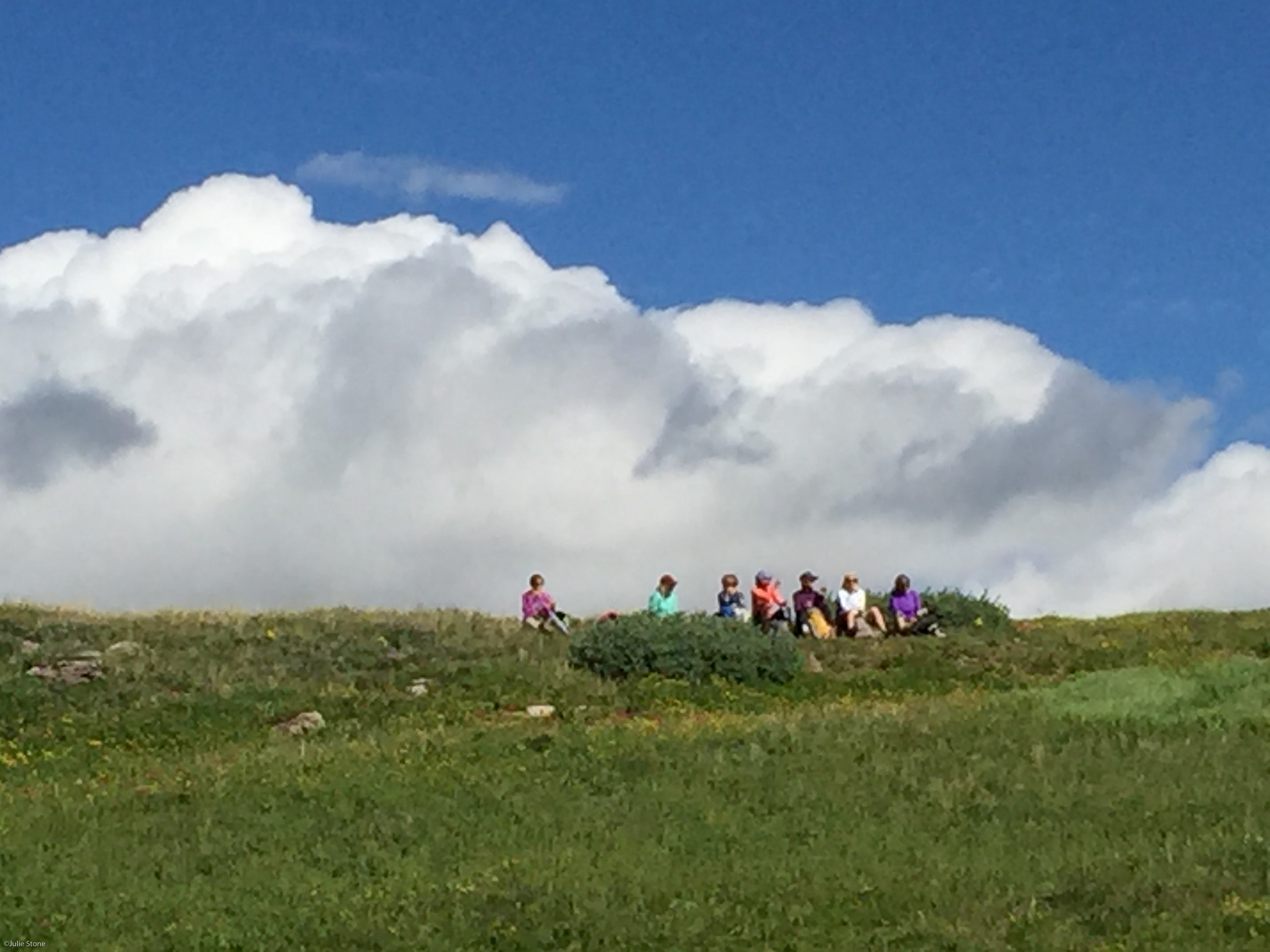
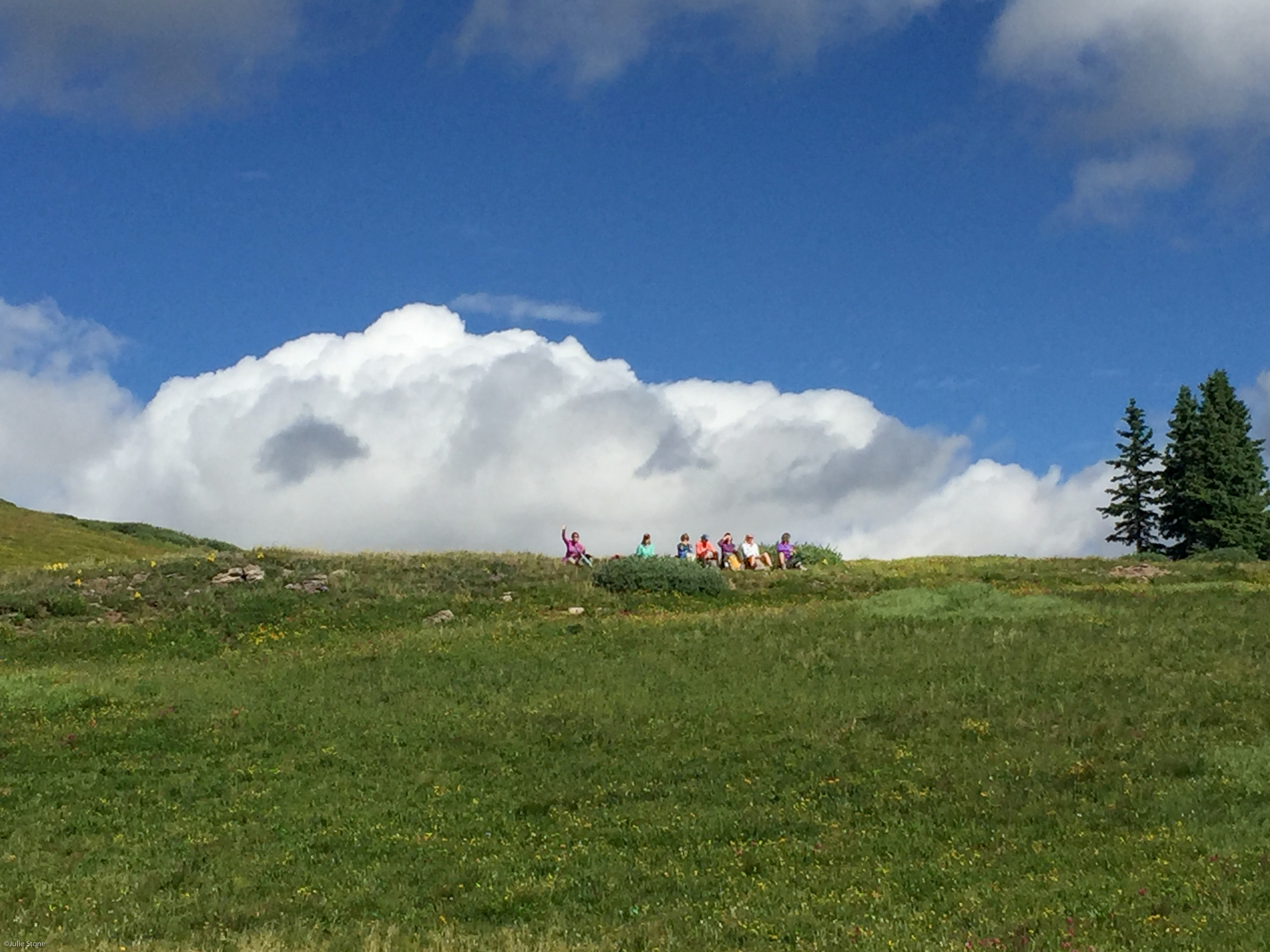
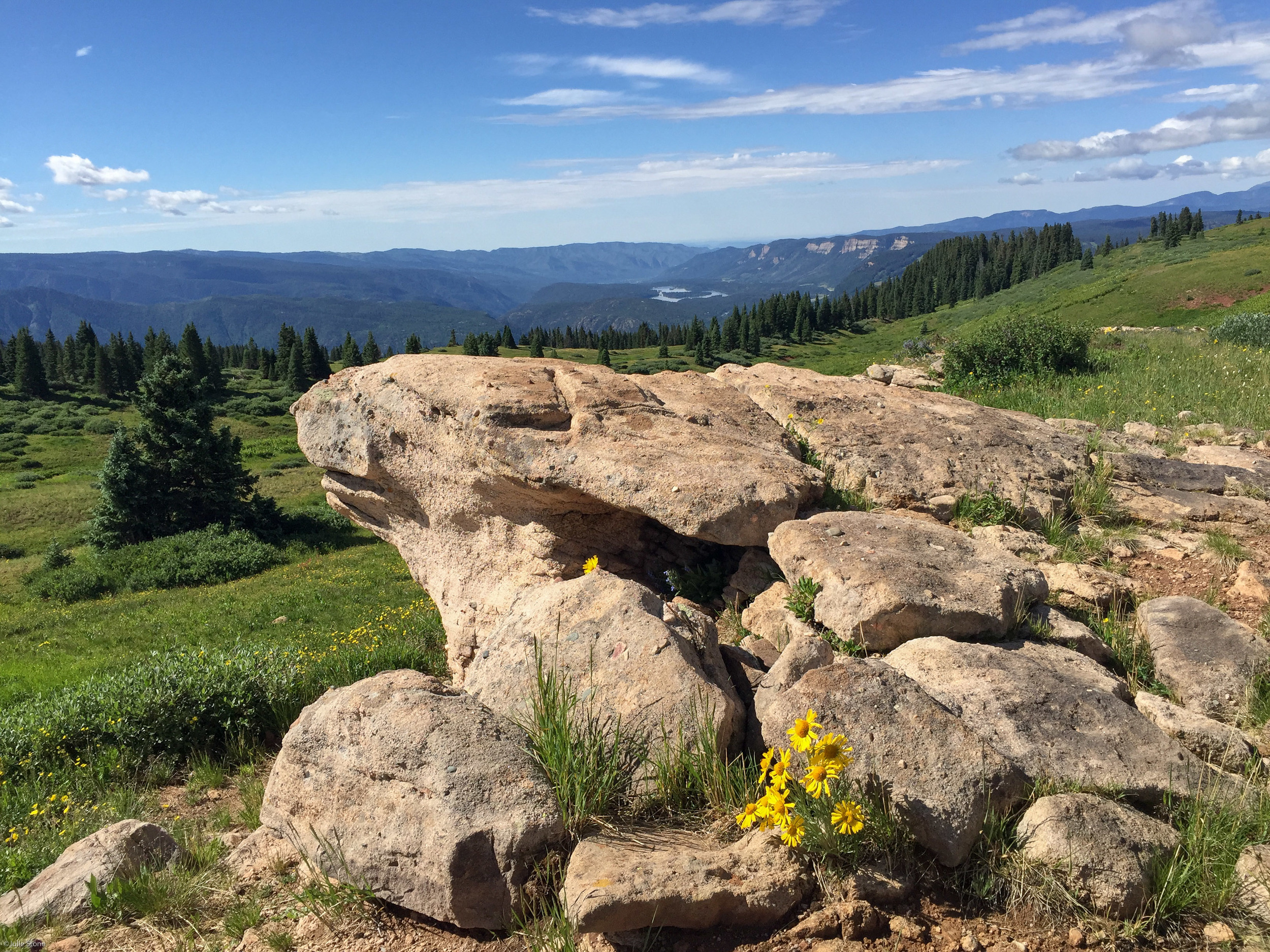
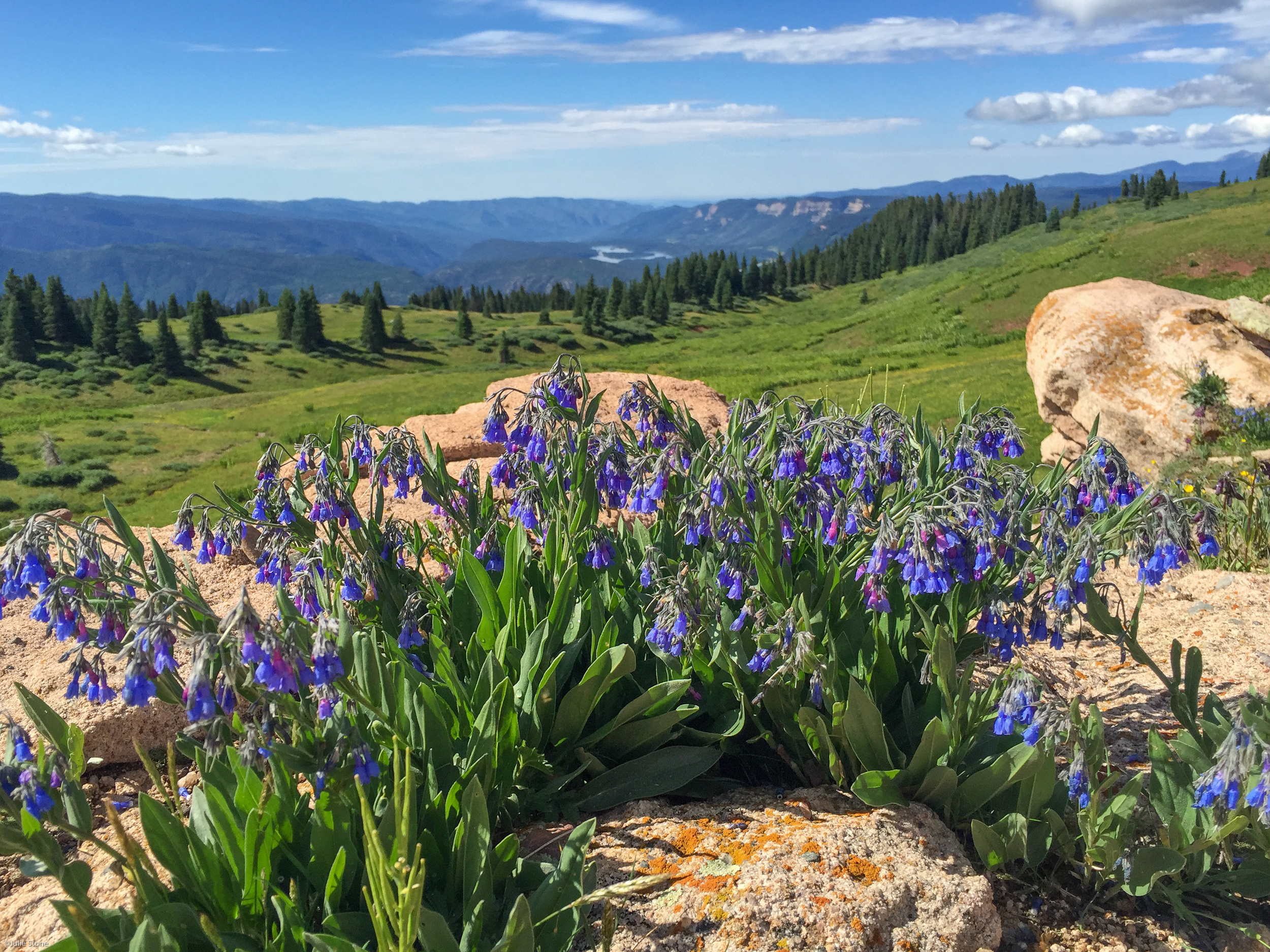
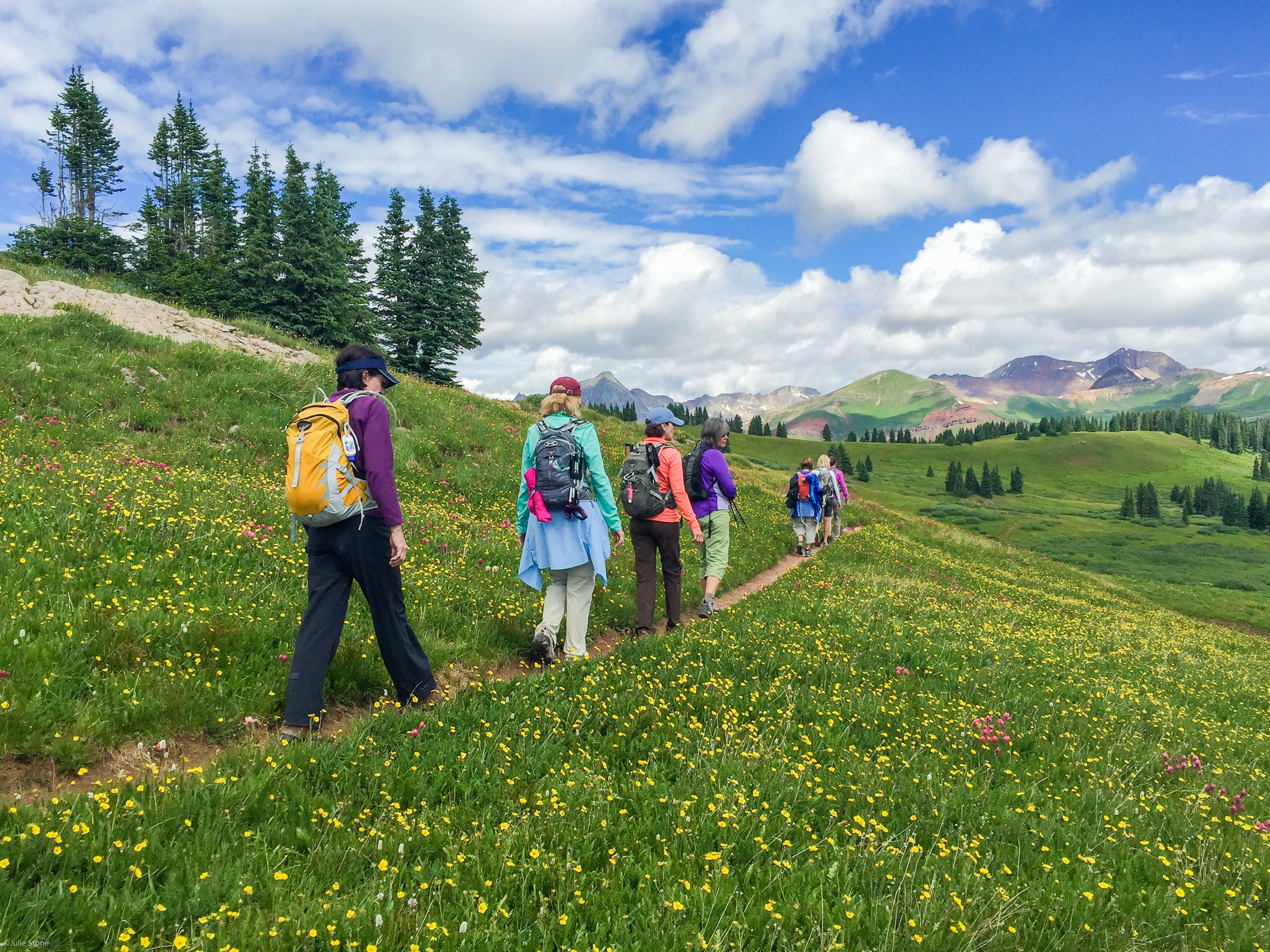
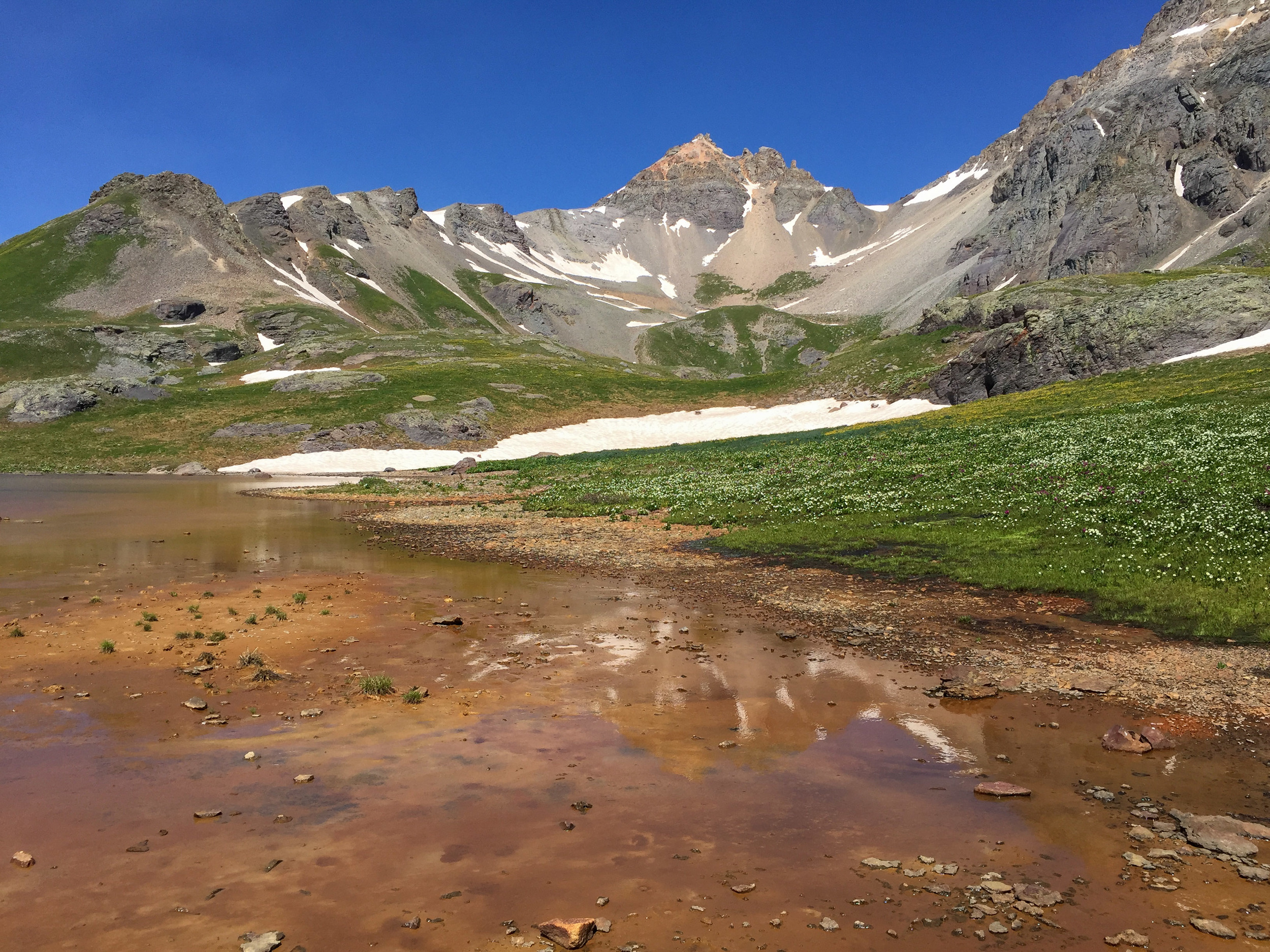
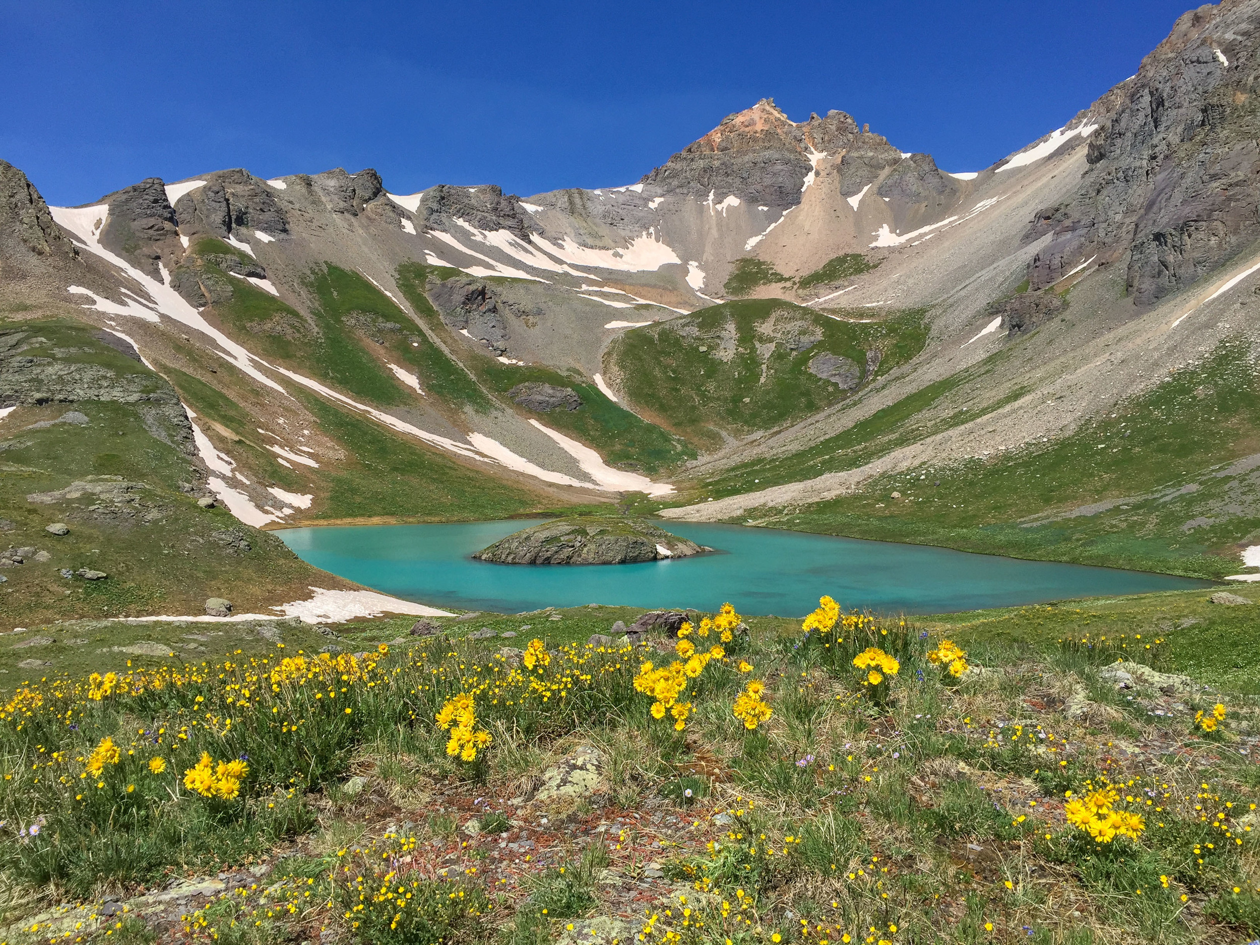
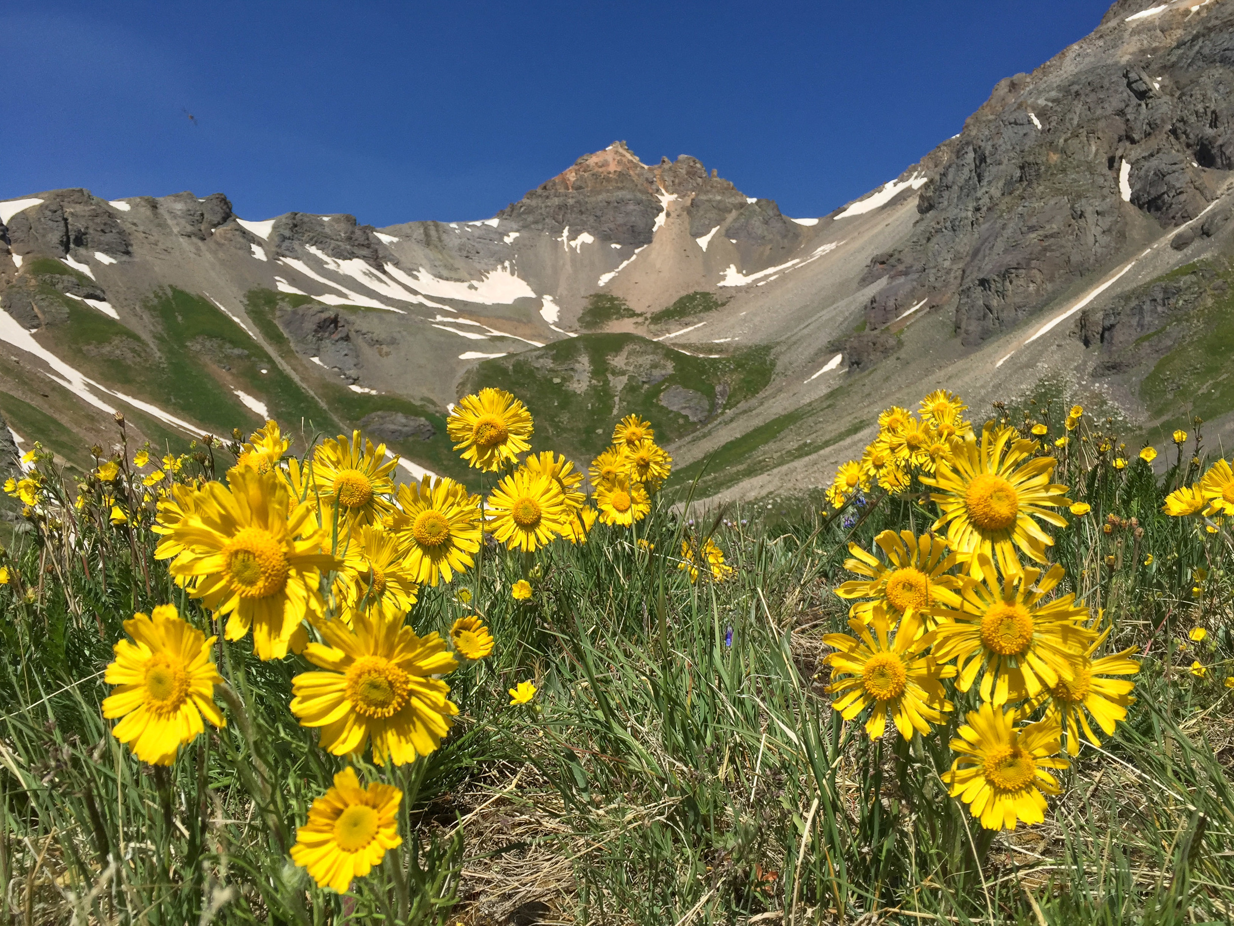
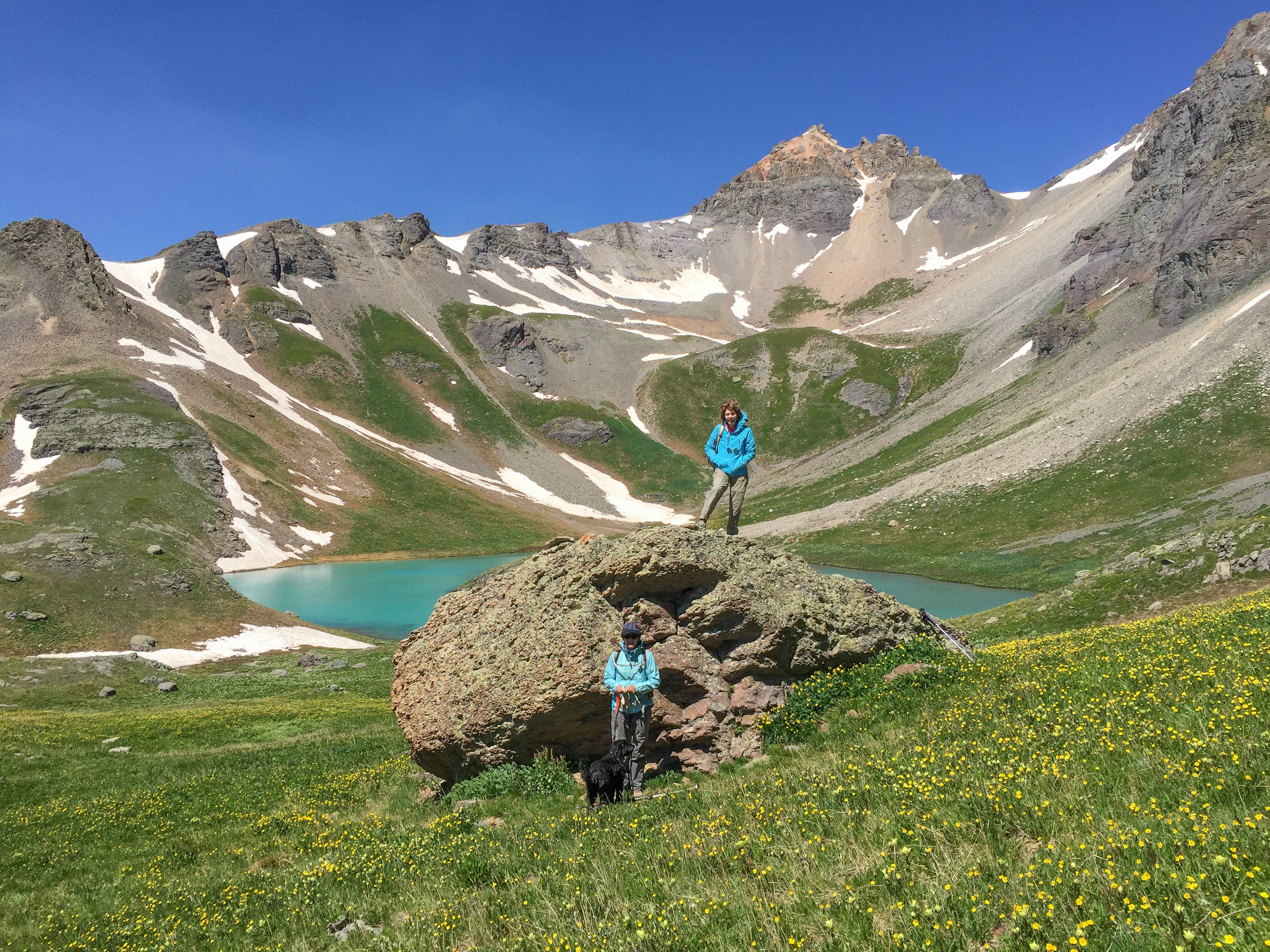
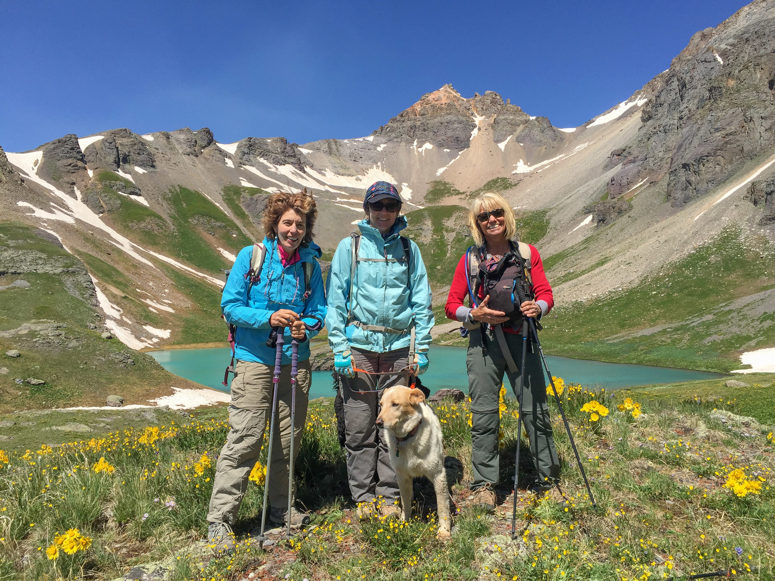
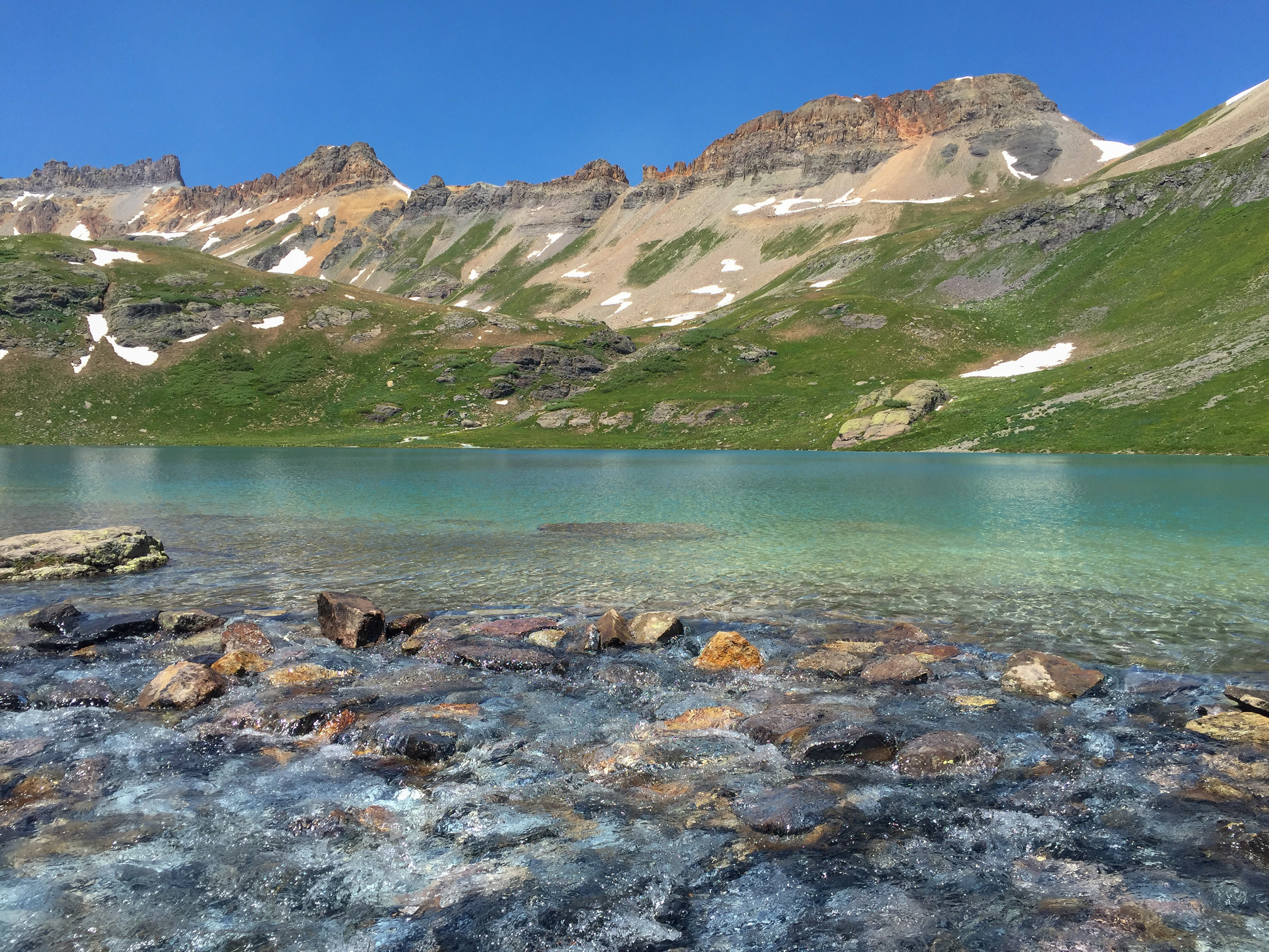
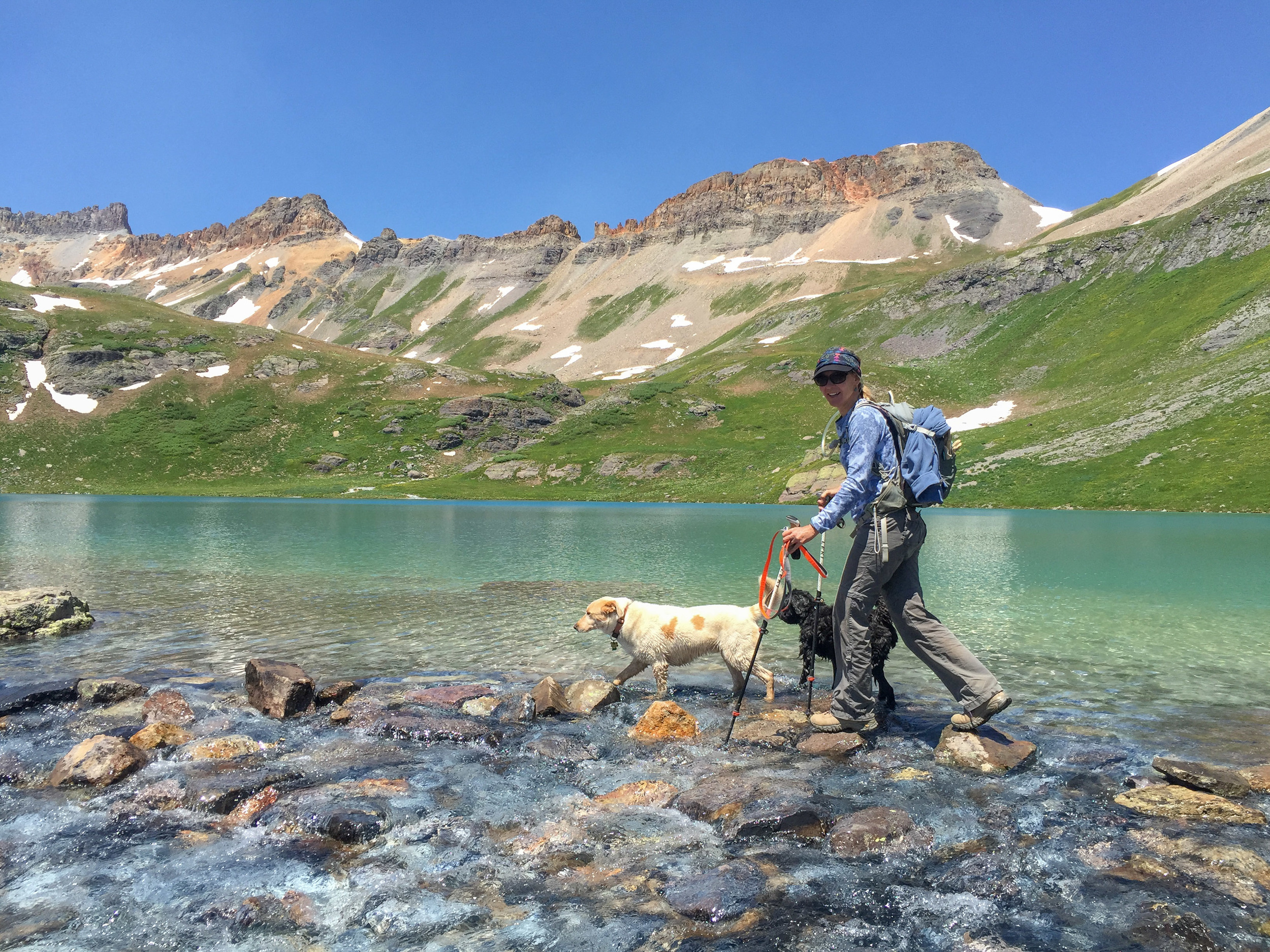
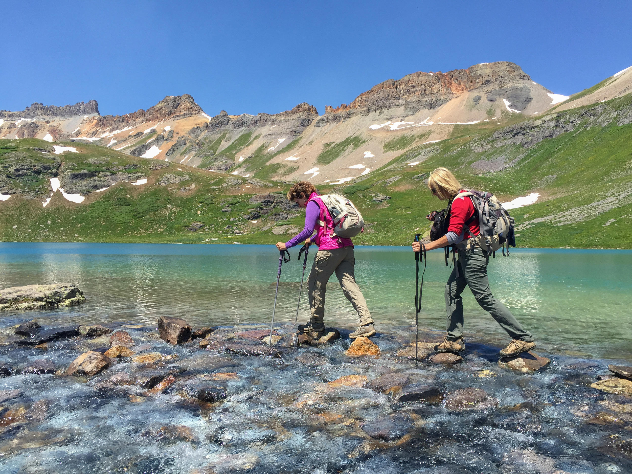
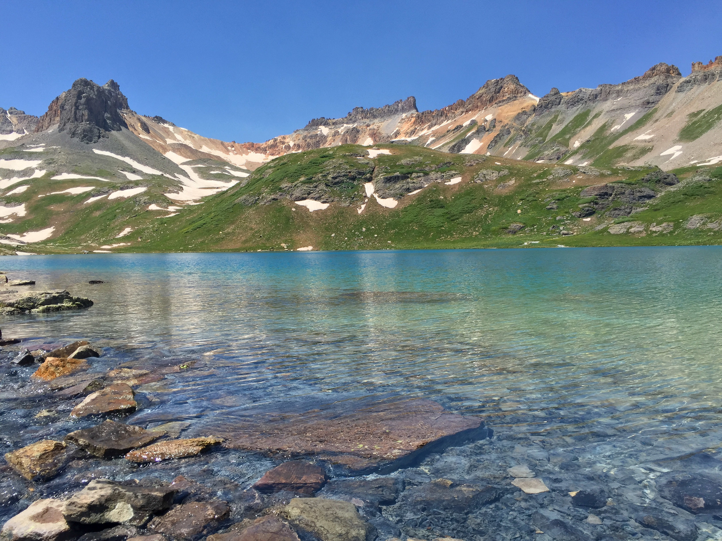
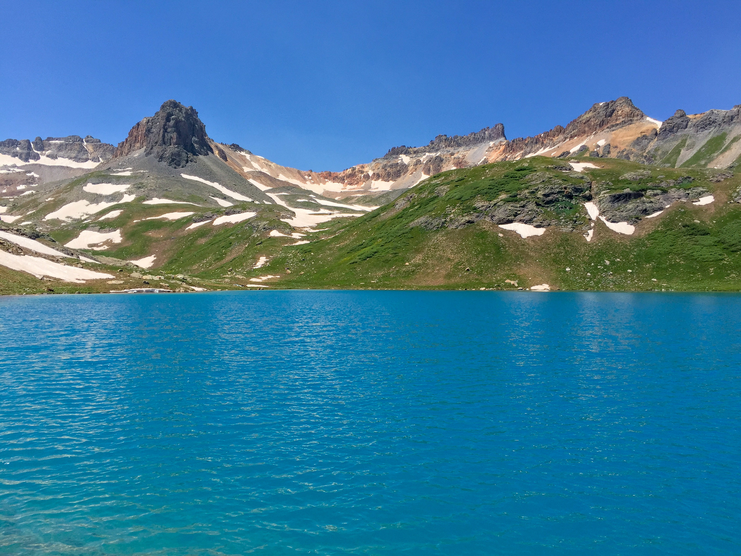
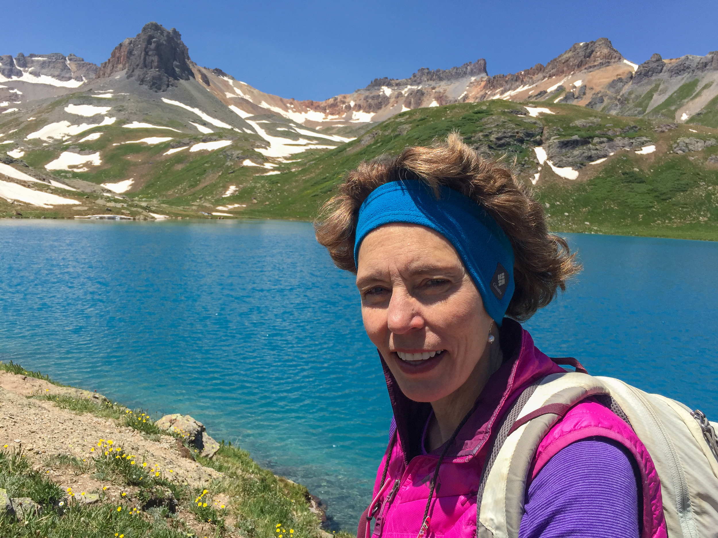
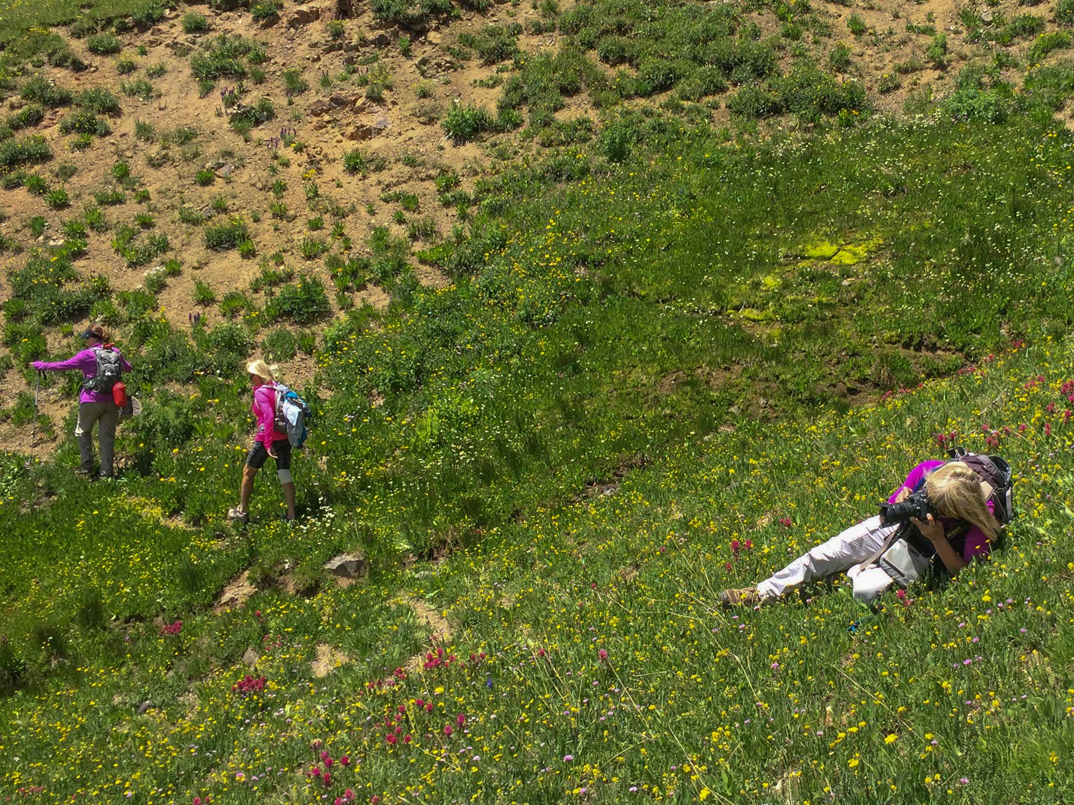
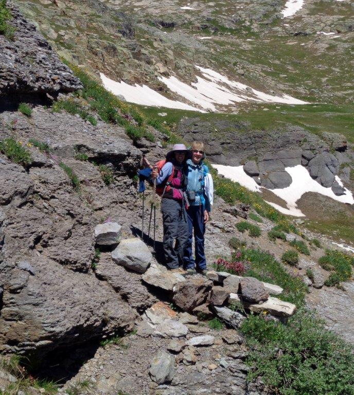
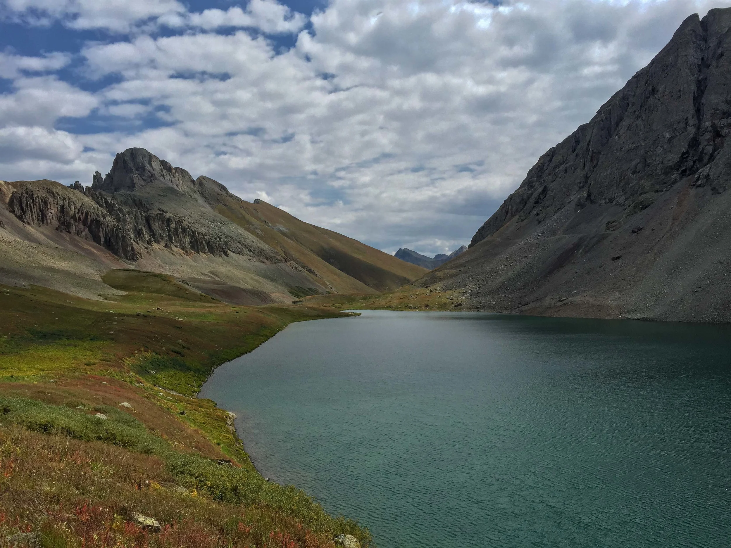
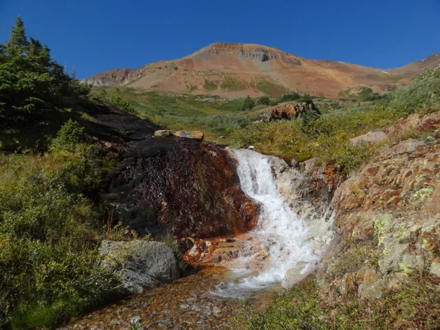
COLUMBINE LAKE HIKE-Sept 2, 2015
The Moxies (Angela, Mary, Jane Marie, Bella, Candy, Penny, Julie, MaryAnne and K) made the trek up to Columbine Lake. This is a 7 mile RT hike to a beautiful turquoise lake that sits inside a glacial bowl at 12,685' ringed by rugged ridges and 13,000' peaks. We enjoyed the hike up but the storm clouds started to build about the time we reached the lake so our lunch stop was a short one. It was a great day in the mountains.


SHRINE MOUNTAIN Trail #2016 August 18, 2015
The Shrine Mountain or Shrine Ridge Trailhead is located at an elevation of 11,089' off Shrine Pass Road near Vail Pass. The trail climbs 2.1 miles and 750' through pine-studded meadows to reach the ridge leading to Shrine Mountain. There Spectacular 360 degree views are awarded. The pass was originally an Ute Indian trail and was later used by Silver Miners and Settlers. During Zarita and I's hike we also enjoyed the wildflowers and noticed many wild mushrooms.


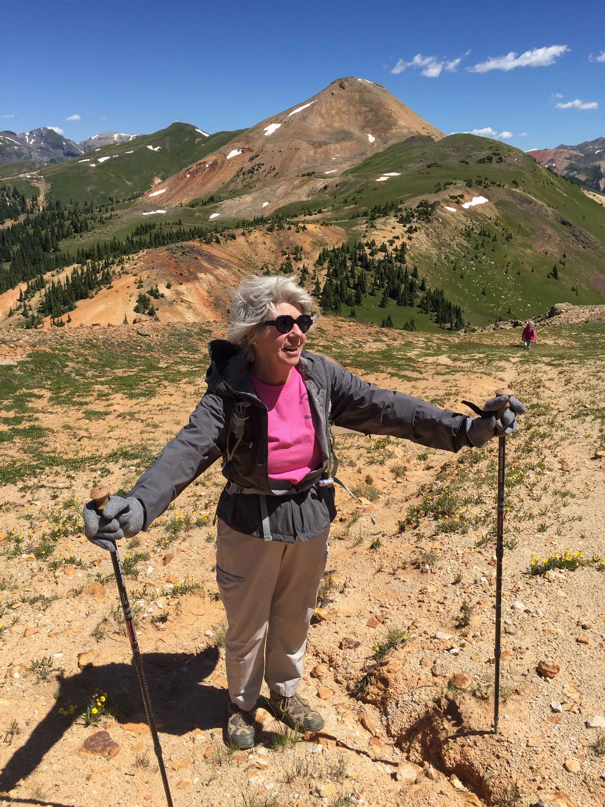
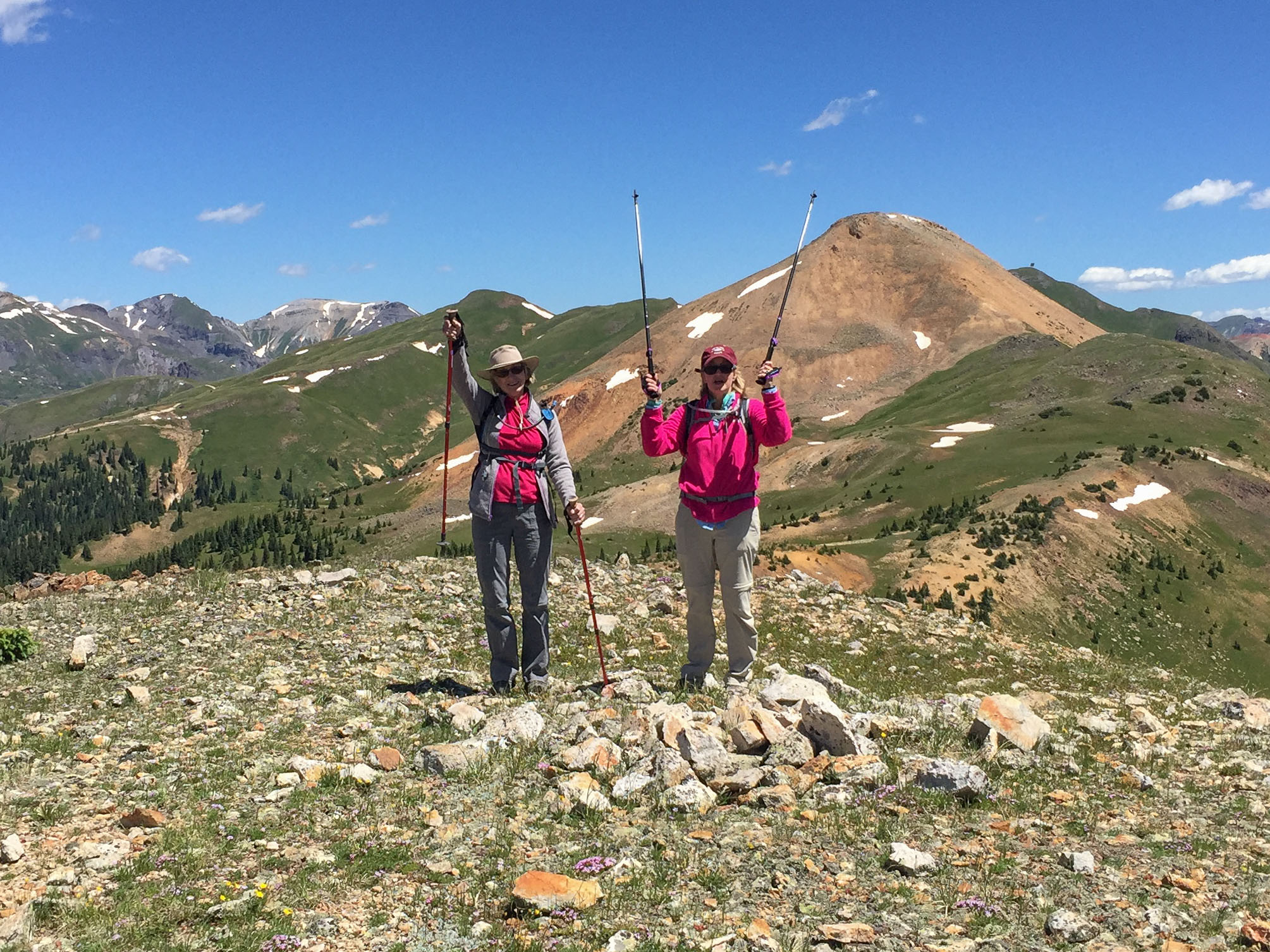
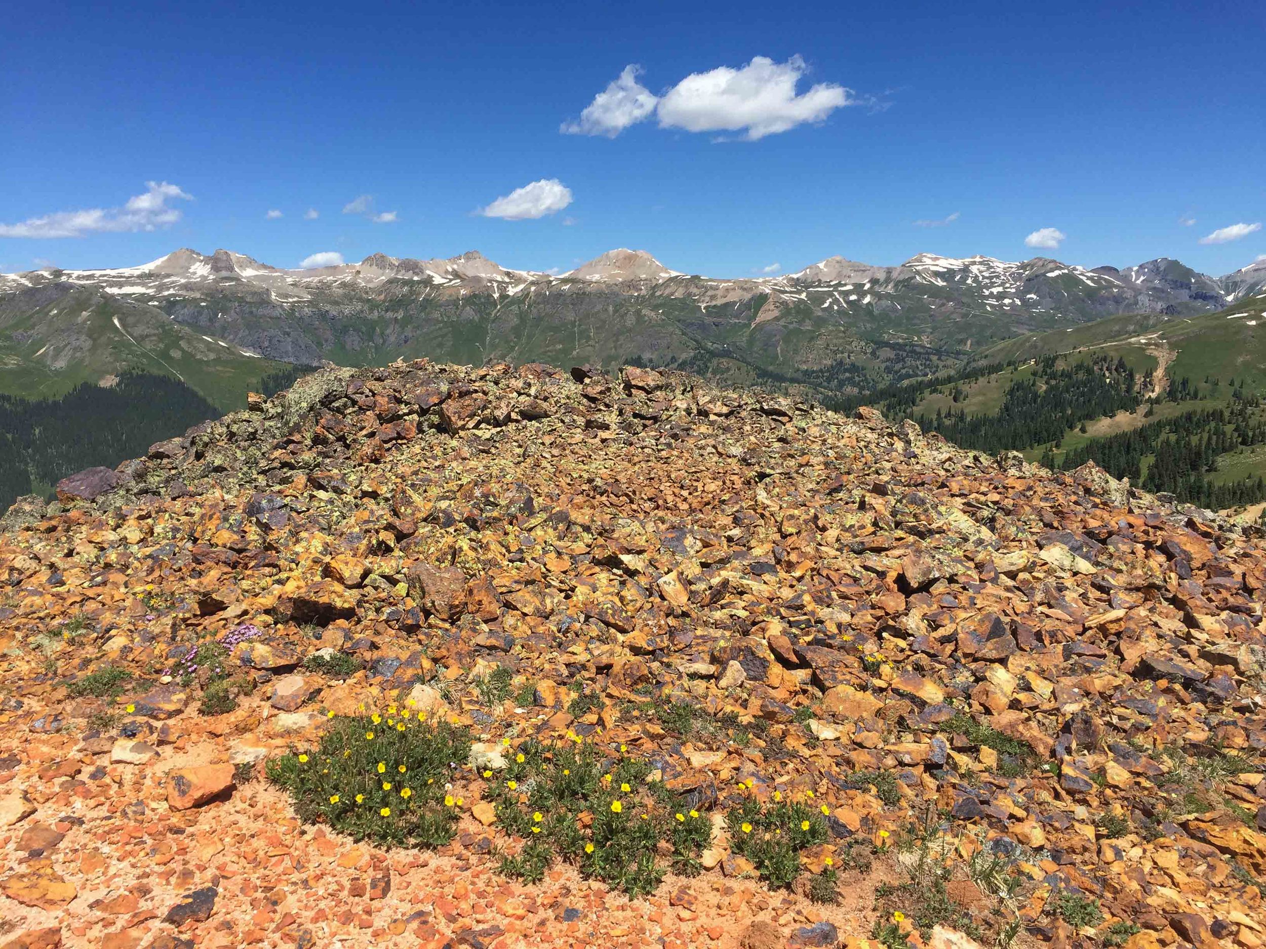
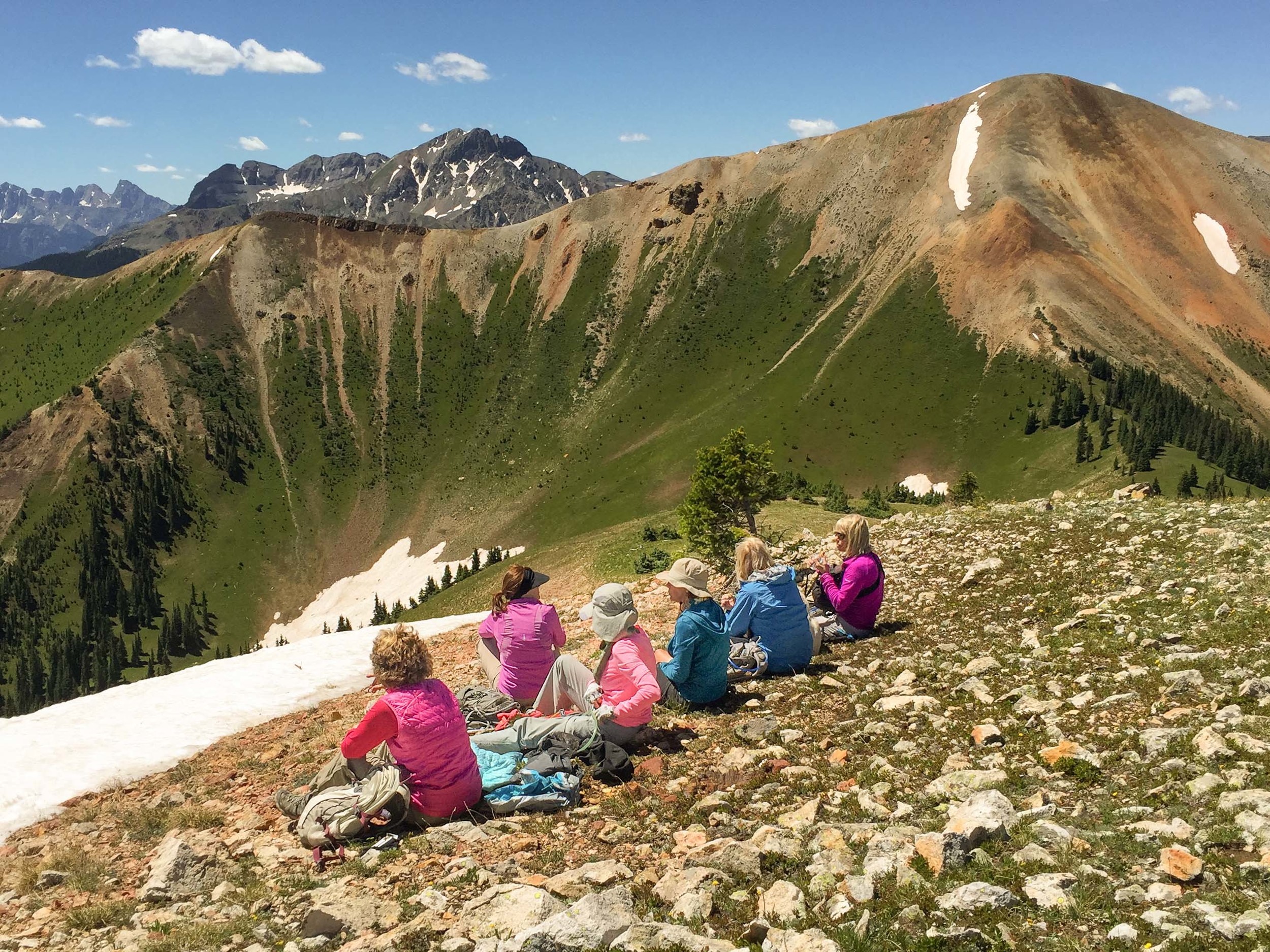
Coal Creek to Jura Knob
BLACK BEAR ROAD July 22, 2015
Black Bear Road starts just south of Red Mountain Pass off Highway 550 at an elevation of 11,018' and climbs 3.2 miles up to Black Bear Pass at an elevation of 12,840'. This road hike offers spectacular scenery and 360 degree views as it is entirely above tree line. There was a lot of picture taking going on and it was a beautiful day. We actually got to enjoy lunch at the summit. (Glenda you should know that you now have some competition in the sandwich department)! It was a great hike with a great group of friends. I hope you all enjoy the photos:


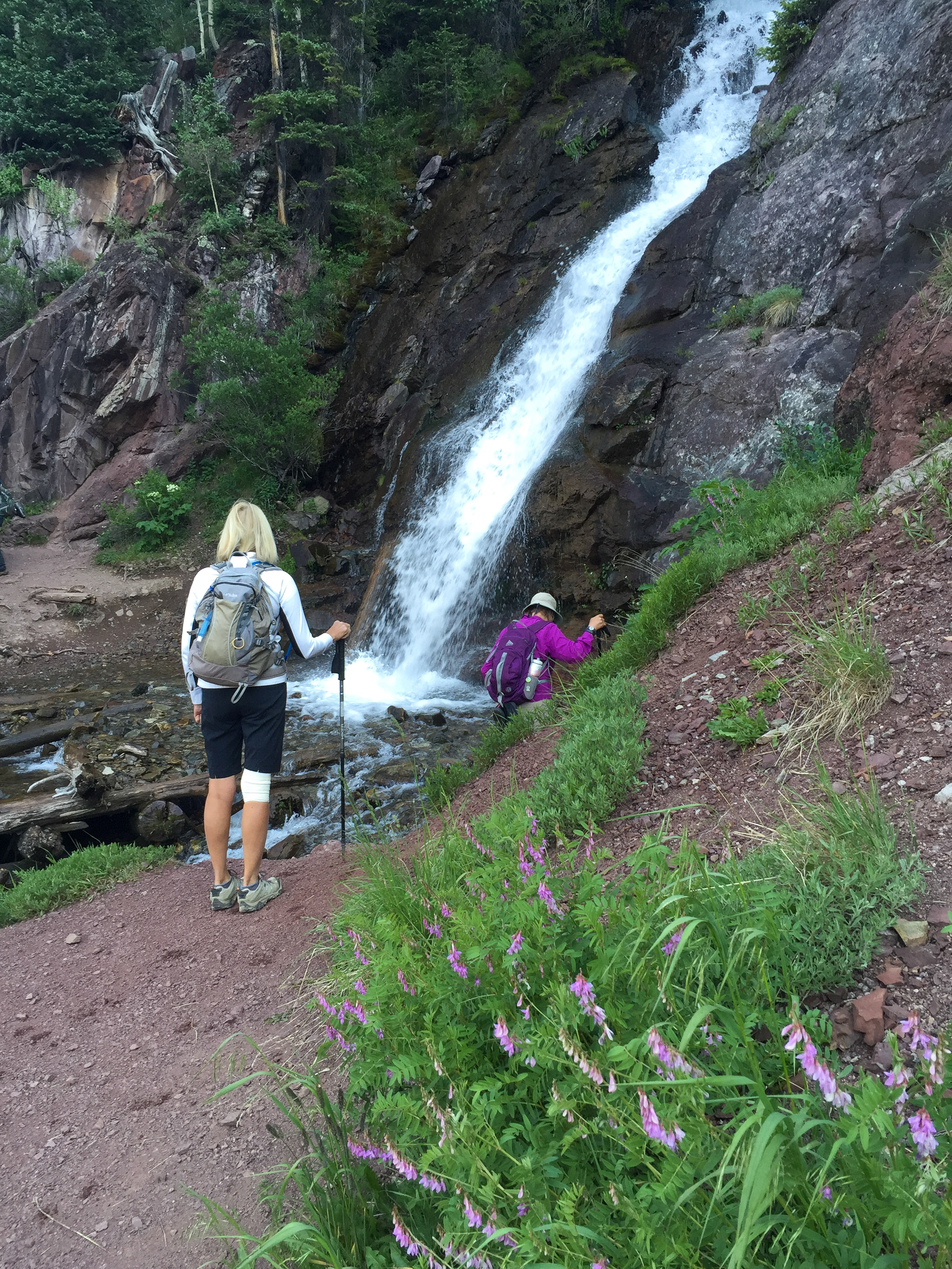
HEMATITE LAKE July 18, 2015
Penny, Candy, Jane Marie, Bella (her dog) and I headed out early to tackle the Hematite Trail to Hematite lake before the afternoon thunderstorms arrived. The climb to Hematite Lake is a steep, strenuous 2 miles with an elevation gain of approximately 2300'. The starting elevation is 9600' ending at 11,900. The turquoise colored lake that lies within the horseshoe shaped Ridgeline, the abundant wildflowers, and views make this a great hike. As usual, by the time we reached the lake the dark thunderous storm clouds were moving in so we took a few shots of the lake and headed directly back down to the cars. I sure wish I could just once enjoy my lunch at the destination and not get chased down by storms.